
Photo: Wasquewhat · CC BY-SA 4.0 · Wikimedia Commons
GänsweiherReport this photo · linked, not stored
GänsweiherReport this photo · linked, not stored

Photo: Wasquewhat · CC BY-SA 4.0 · Wikimedia Commons
SchergenweiherReport this photo · linked, not stored
SchergenweiherSchergenweiherReport this photo · linked, not stored

Photo: Wasquewhat · CC BY-SA 4.0 · Wikimedia Commons
GallaweiherReport this photo · linked, not stored
GallaweiherGallaweiherReport this photo · linked, not stored

Photo: Lothur · CC0 · Wikimedia Commons
Neusee, Bernried am Starnberger SeeReport this photo · linked, not stored
Neusee, Bernried am Starnberger SeeNeusee, Bernried am Starnberger SeeReport this photo · linked, not stored

Photo: Wasquewhat · CC BY-SA 4.0 · Wikimedia Commons
LachenweiherReport this photo · linked, not stored
LachenweiherLachenweiherReport this photo · linked, not stored
LakeBernried am Starnberger See, Bavaria
Gänsweiher
Lake622 m elevationBest Jun–Aug
Elevation622 mabove sea level
Area–surface
Nearest townBernried am Starnberger See2.7 km
47.86° N, 11.26° EElevation 622 mUTC+1 · Central European Standard Time
When to goBernried am Starnberger See · weather score
Best timeJun–Aug
October: high / low14° / 5°
Lake
Gänsweiher in brief
Gänsweiher is a lake in Bernried am Starnberger See, Bavaria, Germany.
It lies at 622 m above sea level.
The nearest town is Bernried am Starnberger See, 2.7 km to the E, where the weather is best in June, July and August.
Weather nearby now
Forecast for Bernried am Starnberger See5°
Cloudy now
Today
31 Oct
9°
2°
Sun
1 Nov
6°
3°
3 mm
Mon
2 Nov
6°
2°
Tue
3 Nov
6°
3°
1 mm
Wed
4 Nov
7°
2°
Model run 00:00 UTCRefreshed several times a day
When to go
Climate of Bernried am Starnberger SeeThe best months around Gänsweiher
Month score in Bernried am Starnberger See
Comfort, dry days and sunshine · out of 10020
Jan
25
Feb
20
Mar
48
Apr
63
May
64
Jun
66
Jul
65
Aug
63
Sep
46
Oct
25
Nov
18
Dec
Map
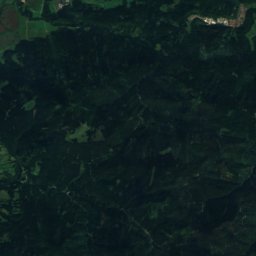
Gänsweiher from above
Nature nearbyAll of Germany


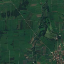
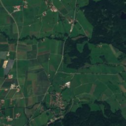
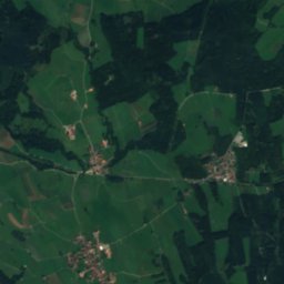
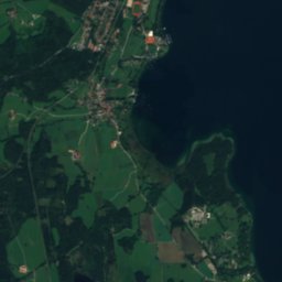
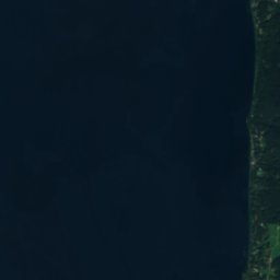
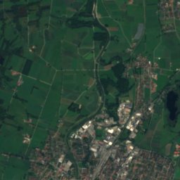
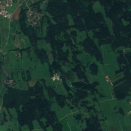
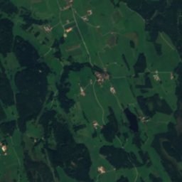
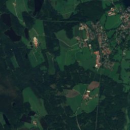
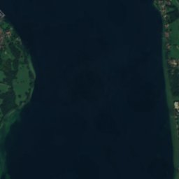
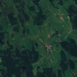
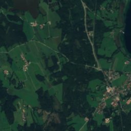
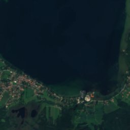
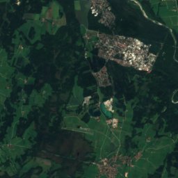
Satellite: Sentinel-2 cloudless 2016 by EOX IT Services GmbH · CC BY 4.0 · Contains modified Copernicus Sentinel data 2016
Summits nearbyMountains of Germany


Photo: Gras-Ober, Wikipedia/Wikimedia Commons (cc-by-sa-3.0) · CC BY-SA 3.0 · Wikimedia CommonsReport this photo · linked, not stored

Photo: Gras-Ober, Wikipedia/Wikimedia Commons (cc-by-sa-3.0) · CC BY-SA 3.0 · Wikimedia CommonsReport this photo · linked, not stored
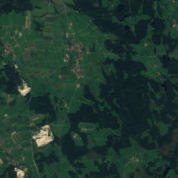
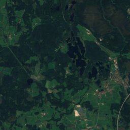
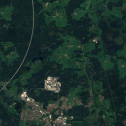
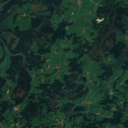
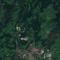
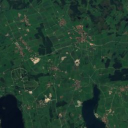
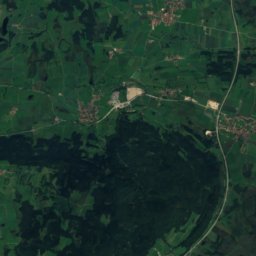
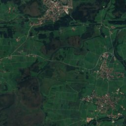
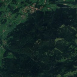
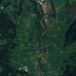
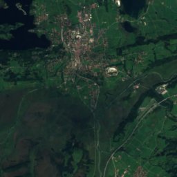
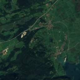
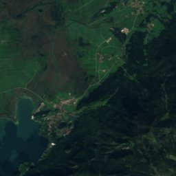
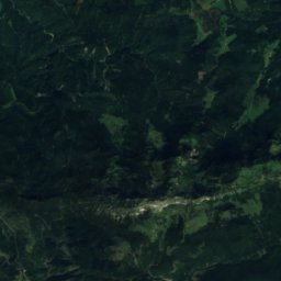
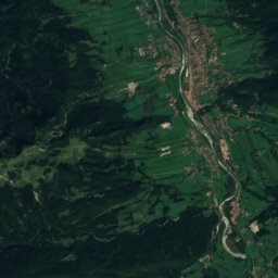
Satellite: Sentinel-2 cloudless 2016 by EOX IT Services GmbH · CC BY 4.0 · Contains modified Copernicus Sentinel data 2016
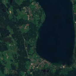
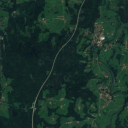
Stay nearby
Towns close by

Photo: User: Bbb at wikivoyage shared · CC BY-SA 3.0 · Wikimedia CommonsReport this photo · linked, not stored
Bernried am Starnberger See
Bavaria · 2.7 km E
14°Oct high
12wet days
46score

Photo: User: Bgabel at wikivoyage shared · CC BY-SA 3.0 · Wikimedia CommonsReport this photo · linked, not stored
Seeshaupt
Bavaria · 5.0 km SE
14°Oct high
12wet days
47score


Around here
Bernried am Starnberger See and around
Photo: User: Bbb at wikivoyage shared · CC BY-SA 3.0 · Wikimedia CommonsReport this photo · linked, not stored
Bernried am Starnberger See
Bavaria · Germany
Jun–Augbest months
24°July high
600 maltitude
Nature

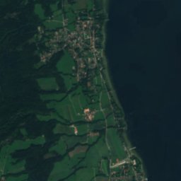
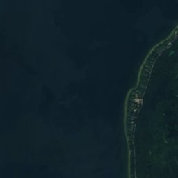
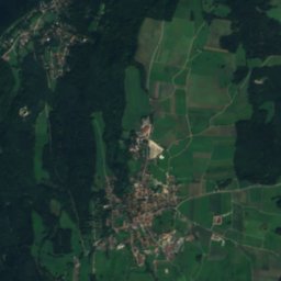
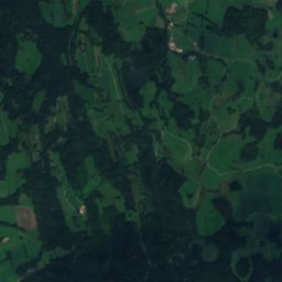
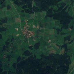
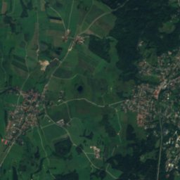
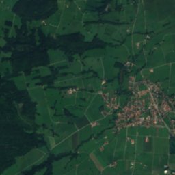
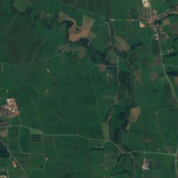
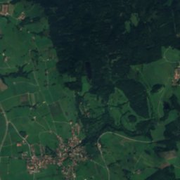
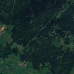
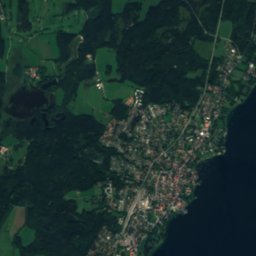
Satellite: Sentinel-2 cloudless 2016 by EOX IT Services GmbH · CC BY 4.0 · Contains modified Copernicus Sentinel data 2016
Maisinger Bach
River · 587 m

Mountains
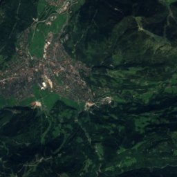
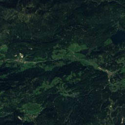
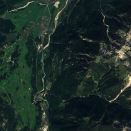
Satellite: Sentinel-2 cloudless 2016 by EOX IT Services GmbH · CC BY 4.0 · Contains modified Copernicus Sentinel data 2016
Krottenkopf
2,086 m · Ester Mountains
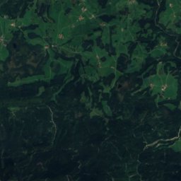
Satellite: Sentinel-2 cloudless 2016 by EOX IT Services GmbH · CC BY 4.0 · Contains modified Copernicus Sentinel data 2016
Kareck
2,046 m · Bavarian Prealps

Heritage


Augustinerchorherrenstift Bernried
architectural heritage monument in Bavaria · 1121

Photo: Gras-Ober, Wikipedia/Wikimedia Commons (cc-by-sa-3.0) · CC BY-SA 3.0 · Wikimedia CommonsReport this photo · linked, not stored
Hohenried Castle
architectural heritage monument in Bavaria · 1930
Museums


Photo: Justine Bittner, Fotografin aus Geretsried · CC BY-SA 4.0 · Wikimedia CommonsReport this photo · linked, not stored

Erinnerungsort Badehaus
History museum

Photo: Allie_Caulfield from Germany · CC BY 2.0 · Wikimedia CommonsReport this photo · linked, not stored

Museum Penzberg
Art museum · 1889