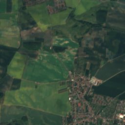
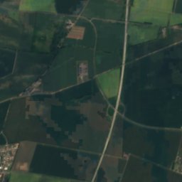
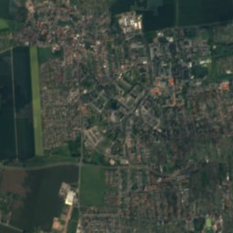
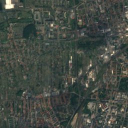
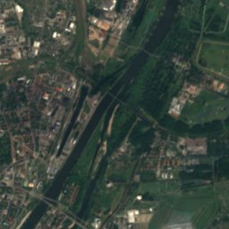
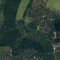
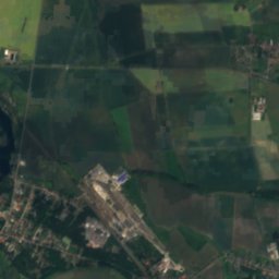
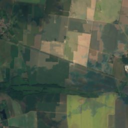
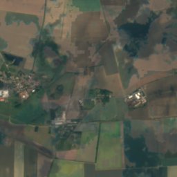
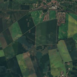
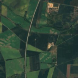
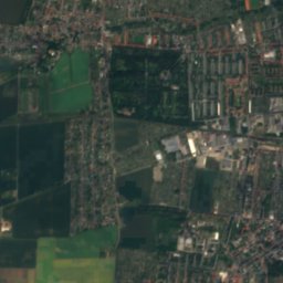
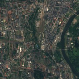
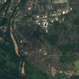
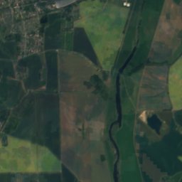
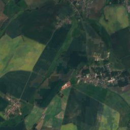
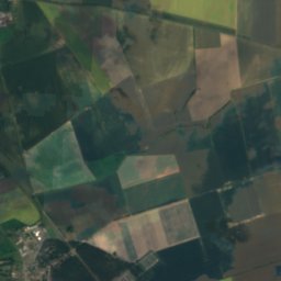
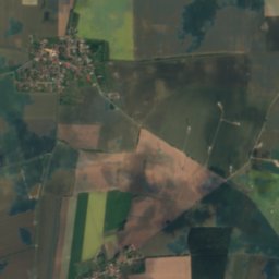
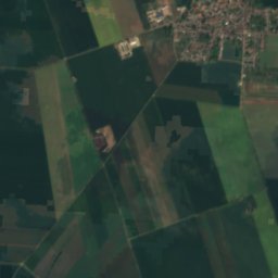
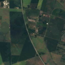
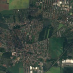
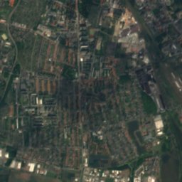
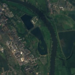
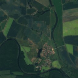
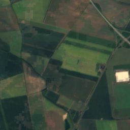
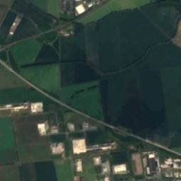
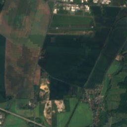
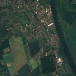
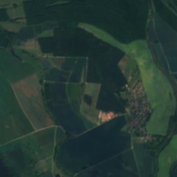
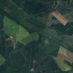
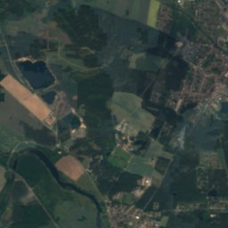
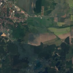
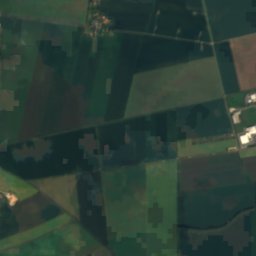
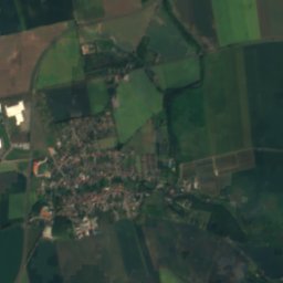
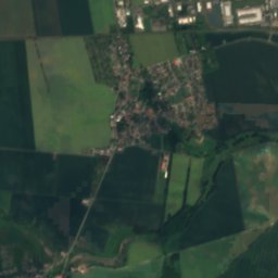
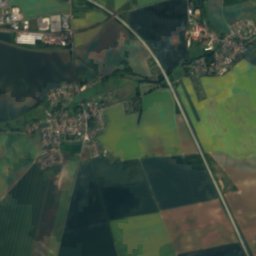
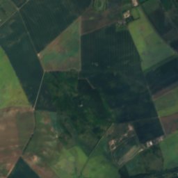
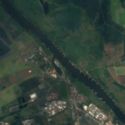
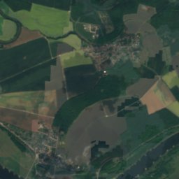
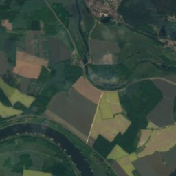
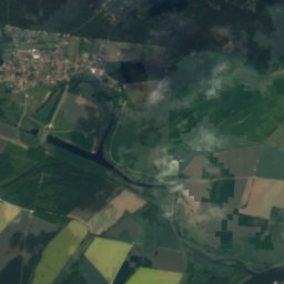
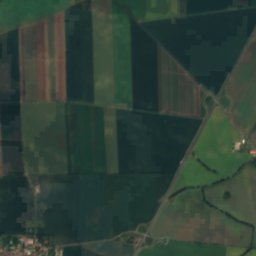
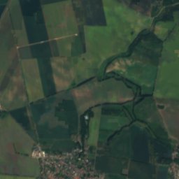
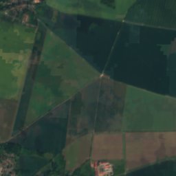
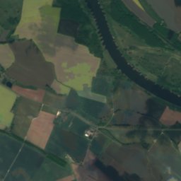
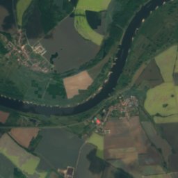
Satellite: Sentinel-2 cloudless 2016 by EOX IT Services GmbH · CC BY 4.0 · Contains modified Copernicus Sentinel data 2016

Photo: Olaf Meister (Olaf2) · CC BY-SA 3.0 · Wikimedia Commons
RüsternpfuhlReport this photo · linked, not stored
RüsternpfuhlRüsternpfuhlReport this photo · linked, not stored

Photo: Olaf Meister (Olaf2) · CC BY-SA 3.0 · Wikimedia Commons
Randauer BaggerlochReport this photo · linked, not stored
Randauer BaggerlochRandauer BaggerlochReport this photo · linked, not stored

Photo: Olaf Meister · CC BY-SA 3.0 · Wikimedia Commons
Sonnensee, Saxony-AnhaltReport this photo · linked, not stored
Sonnensee, Saxony-AnhaltSonnensee, Saxony-AnhaltReport this photo · linked, not stored

Photo: Olivier Cleynen · CC BY 4.0 · Wikimedia Commons
KuhlenhagenReport this photo · linked, not stored
KuhlenhagenKuhlenhagenReport this photo · linked, not stored
LakeSchönebeck, Saxony-Anhalt
Fuchsbusch
LakeBest May–Jun · Sep
Elevation–above sea level
Area–surface
Nearest townSchönebeck4.9 km
52.06° N, 11.70° EUTC+1 · Central European Standard Time
When to goSchönebeck · weather score
Best timeMay–Jun · Sep
October: high / low15° / 6°
Lake
Fuchsbusch in brief
Fuchsbusch is a lake in Schönebeck, Saxony-Anhalt, Germany.
The nearest town is Schönebeck, 4.9 km to the SE, where the weather is best in May, June and September.
Weather nearby now
Forecast for Schönebeck13°
Cloudy now
Today
26 Oct
14°
7°
Tue
27 Oct
17°
8°
Wed
28 Oct
16°
7°
1 mm
Thu
29 Oct
14°
6°
1 mm
Fri
30 Oct
12°
8°
1 mm
Model run 12:00 UTCRefreshed several times a day
Map
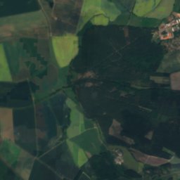
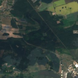
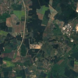
Fuchsbusch from above
Nature nearbyAll of Germany

Photo: Olaf Meister (Olaf2) · CC BY-SA 3.0 · Wikimedia CommonsReport this photo · linked, not stored

Photo: Olaf Meister (Olaf2) · CC BY-SA 3.0 · Wikimedia CommonsReport this photo · linked, not stored


Satellite: Sentinel-2 cloudless 2016 by EOX IT Services GmbH · CC BY 4.0 · Contains modified Copernicus Sentinel data 2016
Satellite: Sentinel-2 cloudless 2016 by EOX IT Services GmbH · CC BY 4.0 · Contains modified Copernicus Sentinel data 2016
Summits nearbyMountains of Germany

Stay nearby
Towns close by


Photo: Olaf Meister (Olaf2) · CC BY-SA 4.0 · Wikimedia CommonsReport this photo · linked, not stored
Welsleben
Saxony-Anhalt · 7.2 km SW
15°Oct high
11wet days
50score
Around here
Schönebeck and around
Nature

Satellite: Sentinel-2 cloudless 2016 by EOX IT Services GmbH · CC BY 4.0 · Contains modified Copernicus Sentinel data 2016
Sülze, Saxony-Anhalt
River
Satellite: Sentinel-2 cloudless 2016 by EOX IT Services GmbH · CC BY 4.0 · Contains modified Copernicus Sentinel data 2016
Alte Elbe, Gübs
River
Mountains

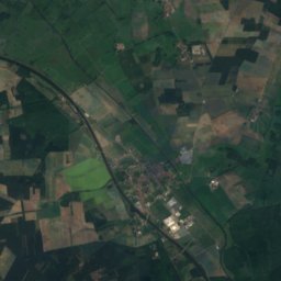
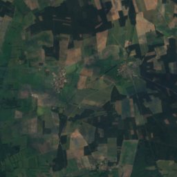
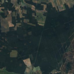
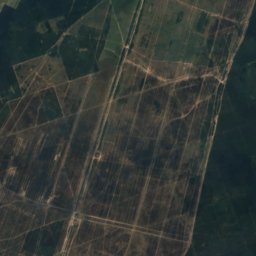
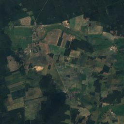
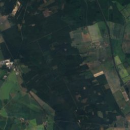
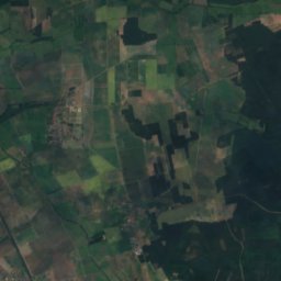
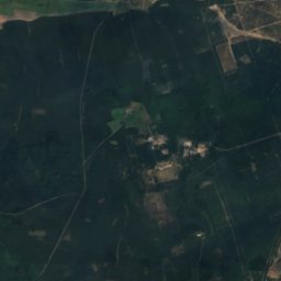
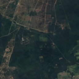
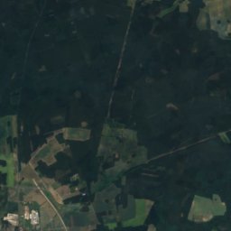
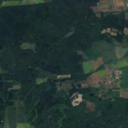
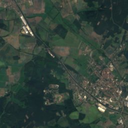
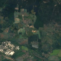
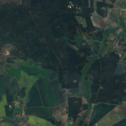
Satellite: Sentinel-2 cloudless 2016 by EOX IT Services GmbH · CC BY 4.0 · Contains modified Copernicus Sentinel data 2016
Zackelberg
139 m

Heritage

Photo: Olaf Meister (Olaf2) · CC BY-SA 3.0 · Wikimedia CommonsReport this photo · linked, not stored
St. Jakobi, Schönebeck
Kulturdenkmal


Museums

Satellite: Sentinel-2 cloudless 2016 by EOX IT Services GmbH · CC BY 4.0 · Contains modified Copernicus Sentinel data 2016


