Skip to content
Destinations
Weather & climate
Nature
Outdoors
Culture
Events
Sky & live
Fuchsbach
Photo: Pfalz39 · CC BY-SA 4.0 · Wikimedia Commons
FuchsbachReport this photo · linked, not stored
Hütte in der Weilach
Photo: Steffen 962 · CC BY-SA 4.0 · Wikimedia Commons
Hütte in der WeilachReport this photo · linked, not stored
Hütte in der Weilach
Ungeheuersee
Photo: Palatinatian · CC BY-SA 2.5 · Wikimedia Commons
UngeheuerseeReport this photo · linked, not stored
Ungeheuersee
Category:Weisenheimer Hütte
Photo: Steffen 962 · CC BY-SA 4.0 · Wikimedia Commons
Category:Weisenheimer HütteReport this photo · linked, not stored
Category:Weisenheimer Hütte
Herzogweiher
Photo: Immanuel Giel · CC BY-SA 3.0 · Wikimedia Commons
HerzogweiherReport this photo · linked, not stored
Herzogweiher
RiverHerxheim am Berg, Rheinland-Pfalz

Fuchsbach

RiverBest May–Jun · Sep
Elevation–above sea level
Length11 kmsource to mouth
Nearest townHerxheim am Berg0.9 km
49.50° N, 8.19° EUTC+1 · Central European Standard Time
When to goHerxheim am Berg · weather score
JanFebMarAprMayJunJulAugSepOctNovDec51October
Best timeMay–Jun · Sep
October: high / low15° / 7°
River

Fuchsbach in brief

Fuchsbach is a river in Herxheim am Berg, Rheinland-Pfalz, Germany.

The nearest town is Herxheim am Berg, 0.9 km to the NW, where the weather is best in May, June and September.

Fuchsbach is 11 km long.

Herxheim am Berg: weather and travel guide

Weather nearby now

Forecast for Herxheim am Berg
10°
Clear now
Wind24 km/h
Humidity65%
Cloud cover6%
Today
25 Oct
14°
7°
14 mm
Mon
26 Oct
14°
6°
Tue
27 Oct
16°
8°
Wed
28 Oct
15°
6°
Thu
29 Oct
12°
3°

Model run 00:00 UTCRefreshed several times a day

When to go

The best months around Fuchsbach

Climate of Herxheim am Berg

Month score in Herxheim am Berg

Comfort, dry days and sunshine · out of 100
20
Jan
26
Feb
33
Mar
64
Apr
68
May
70
Jun
65
Jul
67
Aug
76
Sep
51
Oct
23
Nov
16
Dec
Map

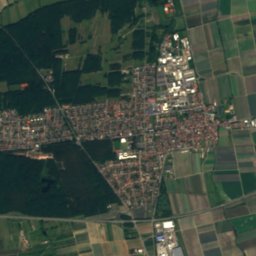
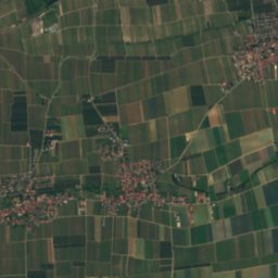
Fuchsbach from above

Nature nearbyAll of Germany
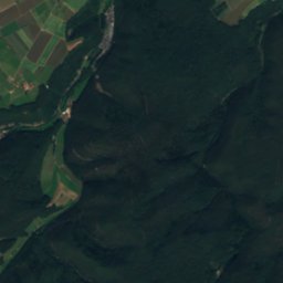
Satellite: Sentinel-2 cloudless 2016 by EOX IT Services GmbH · CC BY 4.0 · Contains modified Copernicus Sentinel data 2016
AlmenseeLake3.5 kmSAlmensee
Photo: Steffen 962 · CC BY-SA 4.0 · Wikimedia CommonsReport this photo · linked, not stored
Hütte in der WeilachMountain hut4.7 kmSWHütte in der Weilach
Photo: Palatinatian · CC BY-SA 2.5 · Wikimedia CommonsReport this photo · linked, not stored
UngeheuerseeLake5.0 kmWUngeheuersee
Photo: Steffen 962 · CC BY-SA 4.0 · Wikimedia CommonsReport this photo · linked, not stored
Category:Weisenheimer HütteMountain hut5.0 kmWCategory:Weisenheimer Hütte
Photo: Immanuel Giel · CC BY-SA 3.0 · Wikimedia CommonsReport this photo · linked, not stored
HerzogweiherLake5.7 kmSWHerzogweiher
Photo: Telford · CC BY-SA 3.0 · Wikimedia CommonsReport this photo · linked, not stored
EckbachweiherLake5.8 kmNWEckbachweiher
Summits nearbyMountains of Germany
Photo: The original uploader was Kolling at German Wikipedia. · CC BY-SA 2.0 · Wikimedia CommonsReport this photo · linked, not stored
Donnersberg24 km NW686 mJuly 23°Donnersberg
Photo: Steffen 962 · CC0 · Wikimedia CommonsReport this photo · linked, not stored
Kalmit22 km S674 mJuly 23°Kalmit
Photo: Steffen 962 · CC0 · Wikimedia CommonsReport this photo · linked, not stored
Hochberg (Haardt)24 km S635 mJuly 23°Hochberg (Haardt)
Photo: Steffen 962 · CC0 · Wikimedia CommonsReport this photo · linked, not stored
Hüttenberg23 km S620 mJuly 23°Hüttenberg
Photo: Dominik Lott · CC BY-SA 3.0 · Wikimedia CommonsReport this photo · linked, not stored
Hohe Loog (Haardt)20 km S619 mJuly 23°Hohe Loog (Haardt)
Photo: Steffen 962 · CC0 · Wikimedia CommonsReport this photo · linked, not stored
Schafkopf (Haardt)24 km SW617 mJuly 23°Schafkopf (Haardt)
Stay nearby

Towns close by

Herxheim am Berg
Photo: Immanuel Giel · CC BY-SA 3.0 · Wikimedia CommonsReport this photo · linked, not stored

Herxheim am Berg

Rheinland-Pfalz · 0.9 km NW
15°Oct high
11wet days
51score
Herxheim am Berg
Freinsheim
Photo: Berthold Werner · CC BY-SA 3.0 · Wikimedia CommonsReport this photo · linked, not stored

Freinsheim

Rheinland-Pfalz · 1.6 km E
15°Oct high
11wet days
53score
Freinsheim
Dackenheim
Photo: Unknown author · CC BY-SA 3.0 · Wikimedia CommonsReport this photo · linked, not stored

Dackenheim

Rheinland-Pfalz · 1.8 km N
15°Oct high
11wet days
52score
Dackenheim
Kallstadt
Photo: Prekario · CC BY-SA 3.0 · Wikimedia CommonsReport this photo · linked, not stored

Kallstadt

Rheinland-Pfalz · 1.9 km SW
15°Oct high
12wet days
50score
Kallstadt
Around here

Herxheim am Berg and around

Herxheim am Berg
Photo: Immanuel Giel · CC BY-SA 3.0 · Wikimedia CommonsReport this photo · linked, not stored

Herxheim am Berg

Rheinland-Pfalz · Germany
May–Jun · Sepbest months
26°July high
203 maltitude
Herxheim am Berg

Nature

Floßbach (Eckbach)
Photo: Mundartpoet · CC BY-SA 3.0 · Wikimedia CommonsReport this photo · linked, not stored
8.4 km NE

Floßbach (Eckbach)

River
Floßbach (Eckbach)
Floßbach
Photo: Kreativ as · CC BY-SA 4.0 · Wikimedia CommonsReport this photo · linked, not stored
9.1 km E

Floßbach

River · 95 m
Floßbach
Ungeheuersee
Photo: Palatinatian · CC BY-SA 2.5 · Wikimedia CommonsReport this photo · linked, not stored
4.3 km W

Ungeheuersee

Lake · 359 m
Ungeheuersee

Mountains

Donnersberg
Photo: The original uploader was Kolling at German Wikipedia. · CC BY-SA 2.0 · Wikimedia CommonsReport this photo · linked, not stored
23 km NW

Donnersberg

686 m · North Palatine Uplands
Donnersberg
Kalmit
Photo: Steffen 962 · CC0 · Wikimedia CommonsReport this photo · linked, not stored
22 km S

Kalmit

674 m · Haardt
Kalmit
Kesselberg (Palatinate)
Photo: Steffen 962 · CC0 · Wikimedia CommonsReport this photo · linked, not stored
27 km S

Kesselberg (Palatinate)

662 m · Haardt
Kesselberg (Palatinate)

Heritage

Protestantische Kirche, Weisenheim am Berg
Photo: Altera levatur · CC0 · Wikimedia CommonsReport this photo · linked, not stored
1.8 km W

Protestantische Kirche, Weisenheim am Berg

cultural heritage monument in Rhineland-Palatinate
Protestantische Kirche, Weisenheim am Berg
Church of Our Saviour, Kallstadt
Photo: Altera levatur · CC0 · Wikimedia CommonsReport this photo · linked, not stored
1.9 km S

Church of Our Saviour, Kallstadt

Kulturdenkmal
Church of Our Saviour, Kallstadt
Leininger Lehnshof (Herxheim am Berg)
Photo: Altera levatur · CC BY-SA 4.0 · Wikimedia CommonsReport this photo · linked, not stored
0.3 km SE

Leininger Lehnshof (Herxheim am Berg)

cultural heritage monument in Rhineland-Palatinate
Leininger Lehnshof (Herxheim am Berg)

Museums

Historic Toy Museum, Freinsheim
Photo: Bing1512 · CC BY 3.0 · Wikimedia CommonsReport this photo · linked, not stored
2.5 km E

Historic Toy Museum, Freinsheim

Toy museum
Historic Toy Museum, Freinsheim
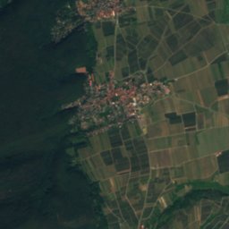
Satellite: Sentinel-2 cloudless 2016 by EOX IT Services GmbH · CC BY 4.0 · Contains modified Copernicus Sentinel data 2016
2.8 km S

Römisches Weingut Weilberg

Römisches Weingut Weilberg
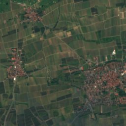
Satellite: Sentinel-2 cloudless 2016 by EOX IT Services GmbH · CC BY 4.0 · Contains modified Copernicus Sentinel data 2016
3.8 km NW

Heimatmuseum Altes Rathaus Grünstadt

Heimatmuseum Altes Rathaus Grünstadt