Skip to content
Destinations
Weather & climate
Nature
Outdoors
Culture
Events
Sky & live
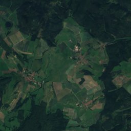
Frauensee, Thuringia
Photo: Metilsteiner · CC BY-SA 3.0 · Wikimedia Commons
Frauensee, ThuringiaReport this photo · linked, not stored
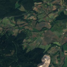
Hautsee
Photo: Metilsteiner · CC BY-SA 3.0 · Wikimedia Commons
HautseeReport this photo · linked, not stored
Hautsee
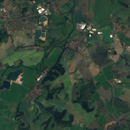
Felda, Thuringia
Photo: Metilsteiner · CC BY-SA 3.0 · Wikimedia Commons
Felda, ThuringiaReport this photo · linked, not stored
Felda, Thuringia
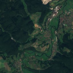
Suhl (Werra)
Photo: Metilsteiner · CC BY 3.0 · Wikimedia Commons
Suhl (Werra)Report this photo · linked, not stored
Suhl (Werra)
Burgsee Bad Salzungen
Photo: A.Savin · FAL · Wikimedia Commons
Burgsee Bad SalzungenReport this photo · linked, not stored
Burgsee Bad Salzungen
LakeTiefenort, Thuringia

Frauensee, Thuringia

LakeBest May · Aug–Sep
Elevation–above sea level
Area–surface
Nearest townTiefenort4.6 km
50.88° N, 10.15° EUTC+1 · Central European Standard Time
When to goTiefenort · weather score
JanFebMarAprMayJunJulAugSepOctNovDec42October
Best timeMay · Aug–Sep
October: high / low14° / 6°
Lake

Frauensee, Thuringia in brief

Frauensee, Thuringia is a lake in Tiefenort, Thuringia, Germany.

The nearest town is Tiefenort, 4.6 km to the S, where the weather is best in May, August and September.

Tiefenort: weather and travel guide

Weather nearby now

Forecast for Tiefenort
6°
Rain now
Wind33 km/h
Humidity97%
Cloud cover100%
Today
25 Oct
13°
6°
15 mm
Mon
26 Oct
12°
5°
Tue
27 Oct
15°
7°
Wed
28 Oct
14°
5°
1 mm
Thu
29 Oct
14°
1°

Model run 12:00 UTCRefreshed several times a day

When to go

The best months around Frauensee, Thuringia

Climate of Tiefenort

Month score in Tiefenort

Comfort, dry days and sunshine · out of 100
15
Jan
22
Feb
22
Mar
57
Apr
65
May
65
Jun
65
Jul
68
Aug
71
Sep
42
Oct
18
Nov
13
Dec
Map

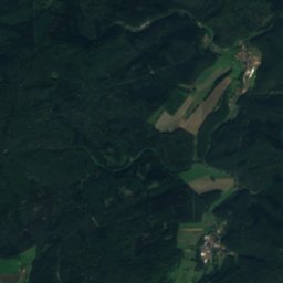
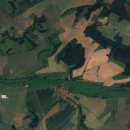
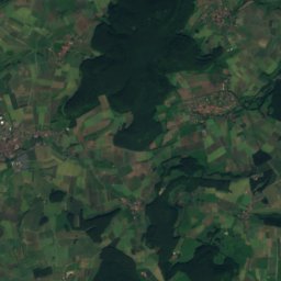
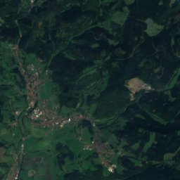
Frauensee, Thuringia from above

Nature nearbyAll of Germany
Photo: Metilsteiner · CC BY-SA 3.0 · Wikimedia CommonsReport this photo · linked, not stored
HautseeLake1.9 kmEHautsee
Photo: Metilsteiner · CC BY-SA 3.0 · Wikimedia CommonsReport this photo · linked, not stored
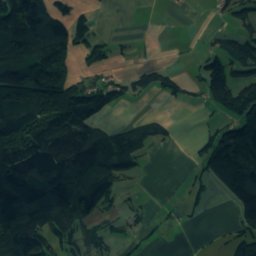
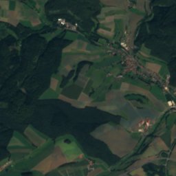
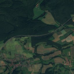
Felda, ThuringiaRiver6.0 kmSWFelda, Thuringia
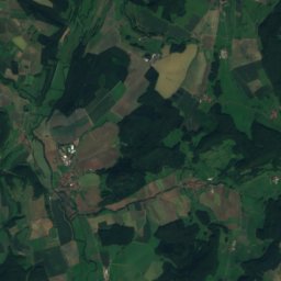
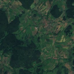
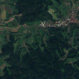
Satellite: Sentinel-2 cloudless 2016 by EOX IT Services GmbH · CC BY 4.0 · Contains modified Copernicus Sentinel data 2016
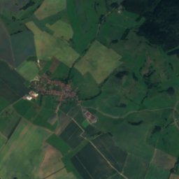
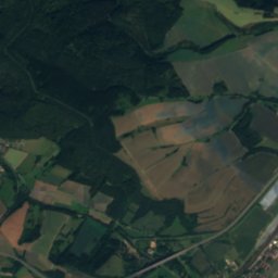
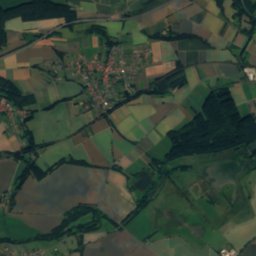
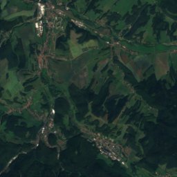
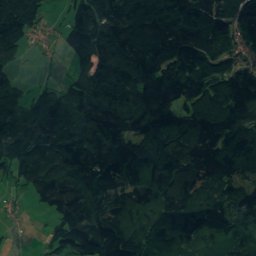
Rohrgraben, ThuringiaRiver6.4 kmSERohrgraben, Thuringia
Photo: Metilsteiner · CC BY 3.0 · Wikimedia CommonsReport this photo · linked, not stored
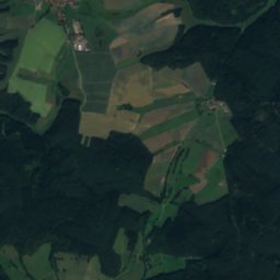
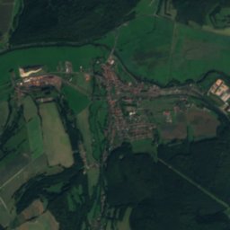
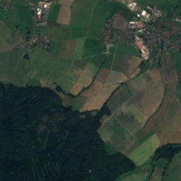
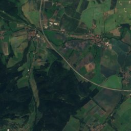
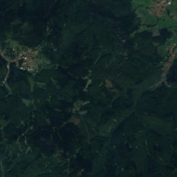
Suhl (Werra)River9.6 kmNWSuhl (Werra)
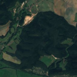
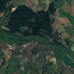
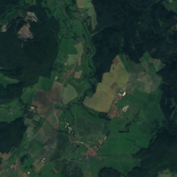
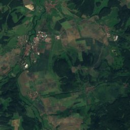
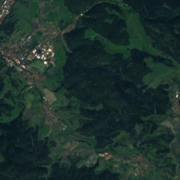
Satellite: Sentinel-2 cloudless 2016 by EOX IT Services GmbH · CC BY 4.0 · Contains modified Copernicus Sentinel data 2016
Suhl (Weihe)River10 kmNWSuhl (Weihe)
Photo: A.Savin · FAL · Wikimedia CommonsReport this photo · linked, not stored
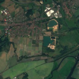
Burgsee Bad SalzungenLake10 kmSEBurgsee Bad Salzungen
Summits nearbyMountains of Germany
Photo: Metilsteiner · CC BY-SA 3.0 · Wikimedia CommonsReport this photo · linked, not stored
Großer Inselsberg23 km E917 mJuly 20°Großer Inselsberg
Photo: Lukas Beck · CC BY 4.0 · Wikimedia CommonsReport this photo · linked, not stored
Schönleite24 km E736 mJuly 21°Schönleite
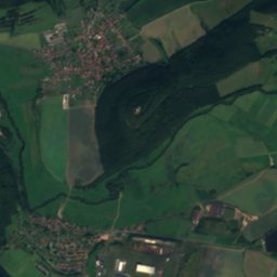
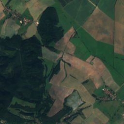
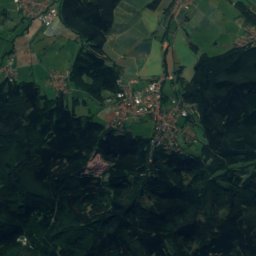
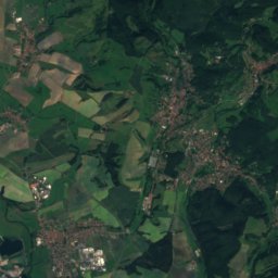
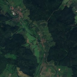
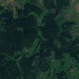
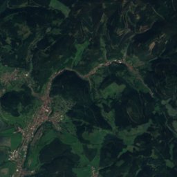
Satellite: Sentinel-2 cloudless 2016 by EOX IT Services GmbH · CC BY 4.0 · Contains modified Copernicus Sentinel data 2016
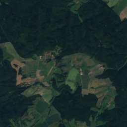
Rennwegskopf19 km E730 mJuly 21°Rennwegskopf
Photo: Gunnar Möller · CC BY-SA 2.0 de · Wikimedia CommonsReport this photo · linked, not stored
Gerberstein18 km E729 mJuly 21°Gerberstein
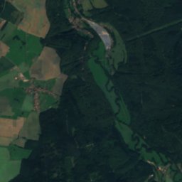
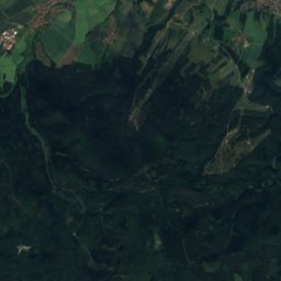
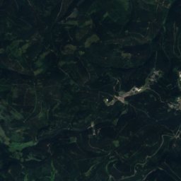
Satellite: Sentinel-2 cloudless 2016 by EOX IT Services GmbH · CC BY 4.0 · Contains modified Copernicus Sentinel data 2016
Baier15 km S714 mJuly 21°Baier
Photo: Lukas Beck · CC BY 4.0 · Wikimedia CommonsReport this photo · linked, not stored
Judenkopf, Thuringia20 km E712 mJuly 21°Judenkopf, Thuringia
Stay nearby

Towns close by

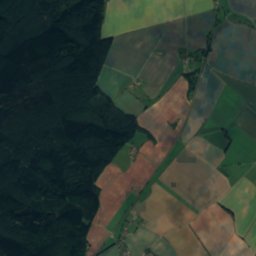
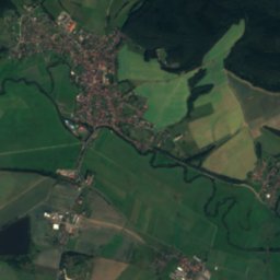
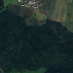
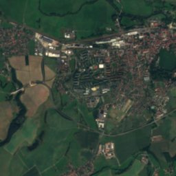
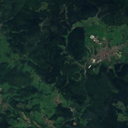
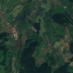
Satellite: Sentinel-2 cloudless 2016 by EOX IT Services GmbH · CC BY 4.0 · Contains modified Copernicus Sentinel data 2016

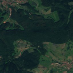
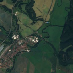
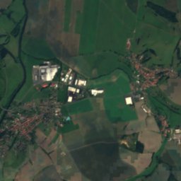
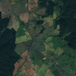
Tiefenort

Thuringia · 4.6 km S
14°Oct high
12wet days
42score
Tiefenort
Marksuhl
Photo: Metilsteiner · CC BY-SA 3.0 · Wikimedia CommonsReport this photo · linked, not stored

Marksuhl

Thuringia · 5.7 km NE
13°Oct high
12wet days
41score
Marksuhl
Dorndorf
Photo: Metilsteiner · CC BY 3.0 · Wikimedia CommonsReport this photo · linked, not stored

Dorndorf

Thuringia · 6.3 km SW
14°Oct high
12wet days
42score
Dorndorf
Leimbach
Photo: Metilsteiner (talk) · CC BY-SA 3.0 · Wikimedia CommonsReport this photo · linked, not stored

Leimbach

Thuringia · 7.9 km SE
14°Oct high
12wet days
42score
Leimbach
Around here

Tiefenort and around

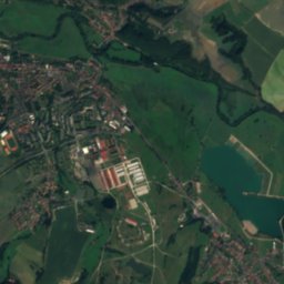
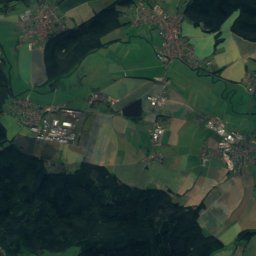
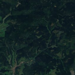
Satellite: Sentinel-2 cloudless 2016 by EOX IT Services GmbH · CC BY 4.0 · Contains modified Copernicus Sentinel data 2016
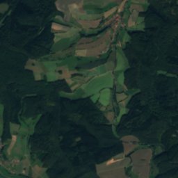
Tiefenort

Thuringia · Germany
May · Aug–Sepbest months
25°July high
238 maltitude
Tiefenort

Nature

Felda, Thuringia
Photo: Metilsteiner · CC BY-SA 3.0 · Wikimedia CommonsReport this photo · linked, not stored
5.9 km W

Felda, Thuringia

River · 231 m
Felda, Thuringia
Oechse
Photo: Metilsteiner · CC BY 3.0 · Wikimedia CommonsReport this photo · linked, not stored
10 km W

Oechse

River
Oechse
Satellite: Sentinel-2 cloudless 2016 by EOX IT Services GmbH · CC BY 4.0 · Contains modified Copernicus Sentinel data 2016
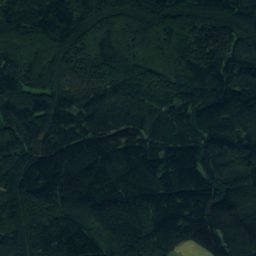
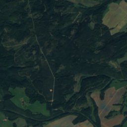
6.8 km SE

Pfitzbach

River
Pfitzbach

Mountains

Großer Inselsberg
Photo: Metilsteiner · CC BY-SA 3.0 · Wikimedia CommonsReport this photo · linked, not stored
21 km E

Großer Inselsberg

917 m · Thuringian Forest
Großer Inselsberg
Stirnberg
Photo: Jörg Braukmann · CC BY-SA 4.0 · Wikimedia CommonsReport this photo · linked, not stored
40 km S

Stirnberg

902 m · Rhön Mountains
Stirnberg
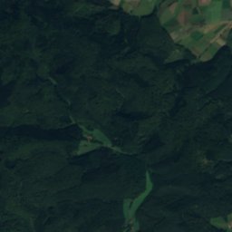
Satellite: Sentinel-2 cloudless 2016 by EOX IT Services GmbH · CC BY 4.0 · Contains modified Copernicus Sentinel data 2016
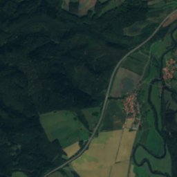
31 km E

Schmalkalder Loibe

886 m · Thuringian Forest
Schmalkalder Loibe

Heritage

Protestant church Kieselbach
Photo: CTHOE · CC BY-SA 3.0 · Wikimedia CommonsReport this photo · linked, not stored
3.0 km W

Protestant church Kieselbach

Heritage monument in Thuringia
Protestant church Kieselbach
Satellite: Sentinel-2 cloudless 2016 by EOX IT Services GmbH · CC BY 4.0 · Contains modified Copernicus Sentinel data 2016
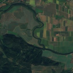
under 100 m E

Protestant Church Tiefenort

Heritage monument in Thuringia
Protestant Church Tiefenort
Altenstein Palace
Photo: Rainer Lippert · CC0 · Wikimedia CommonsReport this photo · linked, not stored
13 km E

Altenstein Palace

Heritage monument in Thuringia
Altenstein Palace

Museums

Erlebnisbergwerk Merkers
Photo: Norbert Nagel · CC BY-SA 3.0 · Wikimedia CommonsReport this photo · linked, not stored
3.7 km SW

Erlebnisbergwerk Merkers

Show mine
Erlebnisbergwerk Merkers
Museum am Gradierwerk
Photo: Ra Boe / Wikipedia · CC BY-SA 3.0 de · Wikimedia CommonsReport this photo · linked, not stored
5.5 km SE

Museum am Gradierwerk

Museum am Gradierwerk
Luther Church Möhra
Photo: Metilsteiner · CC BY-SA 3.0 · Wikimedia CommonsReport this photo · linked, not stored
6.8 km E

Luther Church Möhra

Luther Church Möhra