Skip to content
Destinations
Weather & climate
Nature
Outdoors
Culture
Events
Sky & live
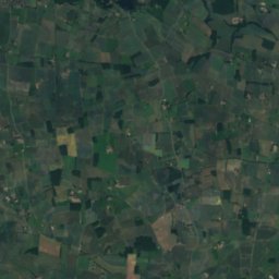
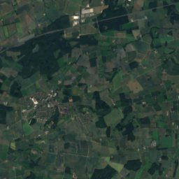
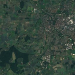
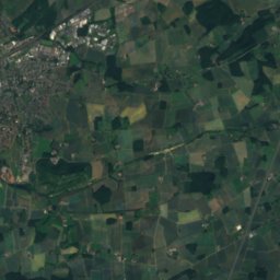
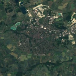
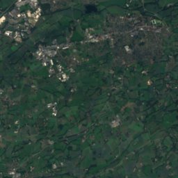
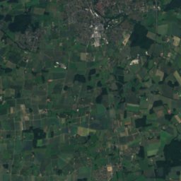
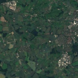
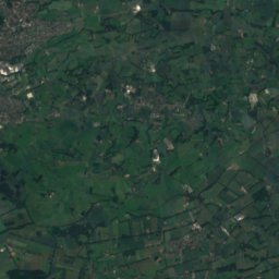
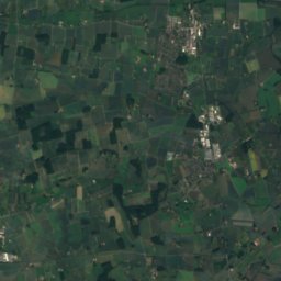
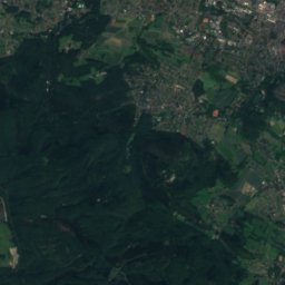
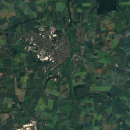
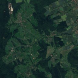
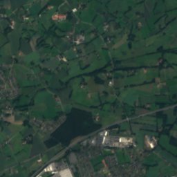
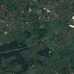
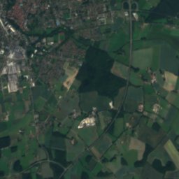
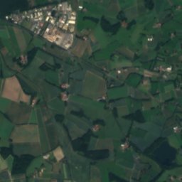
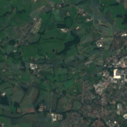
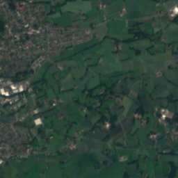
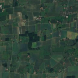
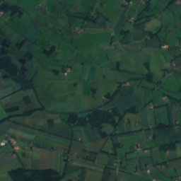
Satellite: Sentinel-2 cloudless 2016 by EOX IT Services GmbH · CC BY 4.0 · Contains modified Copernicus Sentinel data 2016
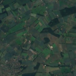
Rothenbach (Ems)
Photo: Druffeler · CC BY-SA 3.0 · Wikimedia Commons
Rothenbach (Ems)Report this photo · linked, not stored
Rothenbach (Ems)
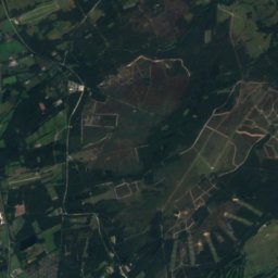
Ebberg, Oerlinghausen
Photo: Zefram · CC BY 2.0 de · Wikimedia Commons
Ebberg, OerlinghausenReport this photo · linked, not stored
Ebberg, Oerlinghausen
RiverRietberg, North Rhine-Westphalia

Forthbach

River76 m elevationBest May–Jun · Sep
Elevation76 mabove sea level
Length20 kmsource to mouth
Nearest townRietberg4.5 km
51.81° N, 8.36° EElevation 76 mUTC+2 · Central European Summer Time
When to goRietberg · weather score
JanFebMarAprMayJunJulAugSepOctNovDec45October
Best timeMay–Jun · Sep
October: high / low14° / 7°
River

Forthbach in brief

Forthbach is a river in Rietberg, North Rhine-Westphalia, Germany.

It lies at 76 m above sea level.

The nearest town in the atlas is Rietberg, 4.5 km to the E, where the weather is best in May, June and September.

Forthbach is 20 km long.

Rietberg: weather and travel guide

Weather nearby now

Forecast for Rietberg
10°
Cloudy now
Wind11 km/h
Humidity84%
Cloud cover94%
Today
23 Oct
14°
8°
7 mm
Sat
24 Oct
11°
6°
6 mm
Sun
25 Oct
14°
8°
18 mm
Mon
26 Oct
14°
8°
1 mm
Tue
27 Oct
18°
11°
1 mm

Model run 12:00 UTCRefreshed several times a day

When to go

The best months around Forthbach

Climate of Rietberg

Month score in Rietberg

Comfort, dry days and sunshine · out of 100
Map

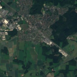
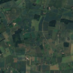
Forthbach from above

Nature nearbyAll of Germany
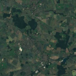
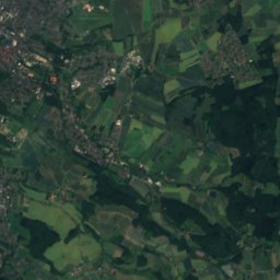
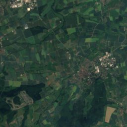
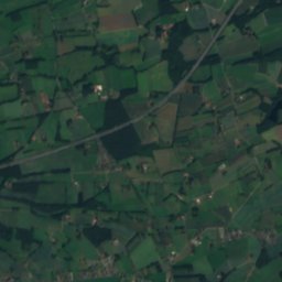
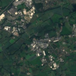
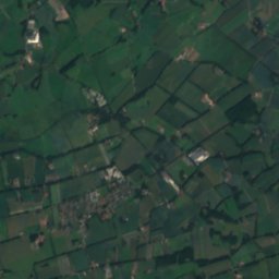
Satellite: Sentinel-2 cloudless 2016 by EOX IT Services GmbH · CC BY 4.0 · Contains modified Copernicus Sentinel data 2016
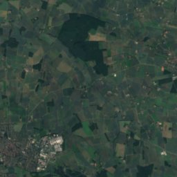
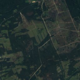
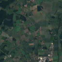
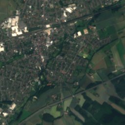
GrubebachRiver0.7 kmNGrubebach
Photo: Druffeler · CC BY-SA 3.0 · Wikimedia CommonsReport this photo · linked, not stored
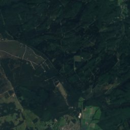
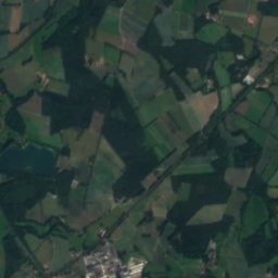
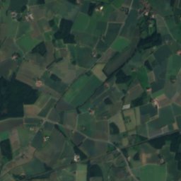
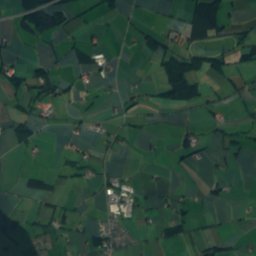
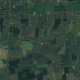
Rothenbach (Ems)River1.3 kmNWRothenbach (Ems)
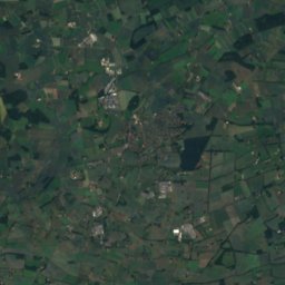
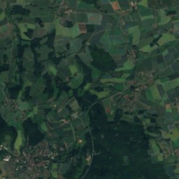
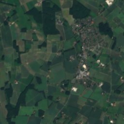
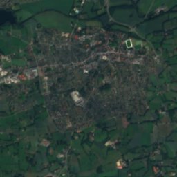
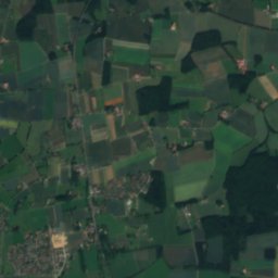
Satellite: Sentinel-2 cloudless 2016 by EOX IT Services GmbH · CC BY 4.0 · Contains modified Copernicus Sentinel data 2016
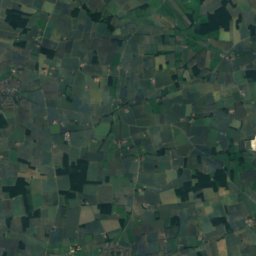
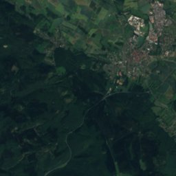
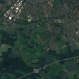
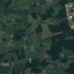
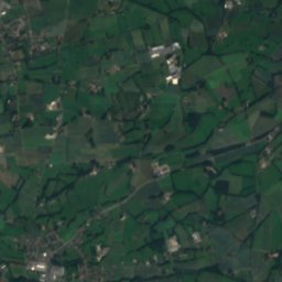
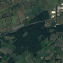
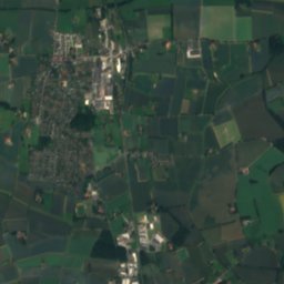
EusternbachRiver2.9 kmNWEusternbach
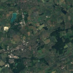
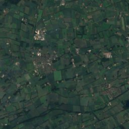
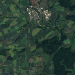
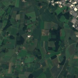
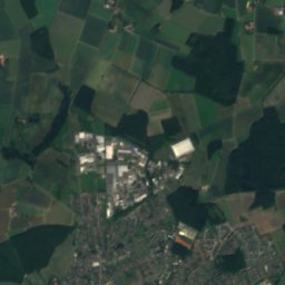
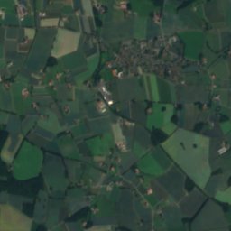
Satellite: Sentinel-2 cloudless 2016 by EOX IT Services GmbH · CC BY 4.0 · Contains modified Copernicus Sentinel data 2016
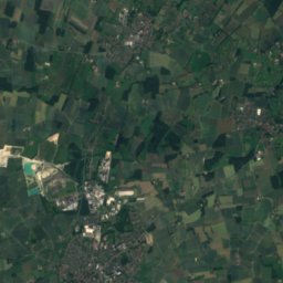
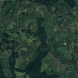
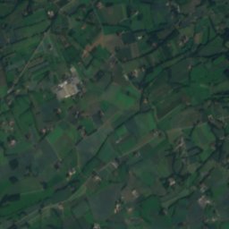
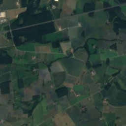
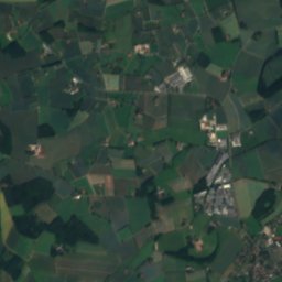
SennebachRiver3.4 kmESennebach
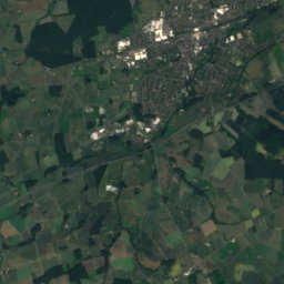
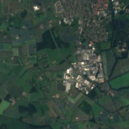
Satellite: Sentinel-2 cloudless 2016 by EOX IT Services GmbH · CC BY 4.0 · Contains modified Copernicus Sentinel data 2016
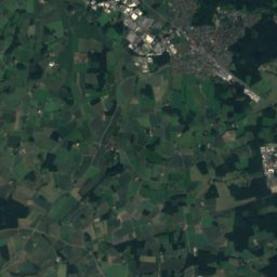
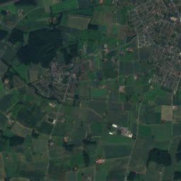
DortenbachRiver3.9 kmEDortenbach
Satellite: Sentinel-2 cloudless 2016 by EOX IT Services GmbH · CC BY 4.0 · Contains modified Copernicus Sentinel data 2016
LannertbachRiver4.4 kmSELannertbach
Summits nearbyMountains of Germany
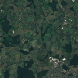
Photo: Zefram · CC BY 2.0 de · Wikimedia CommonsReport this photo · linked, not stored
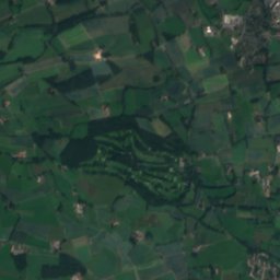
Ebberg, Oerlinghausen24 km NE309 mJuly 23°Ebberg, Oerlinghausen
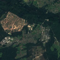
Satellite: Sentinel-2 cloudless 2016 by EOX IT Services GmbH · CC BY 4.0 · Contains modified Copernicus Sentinel data 2016
Mackenberg17 km W174 mJuly 24°Mackenberg
Stay nearby

Towns close by

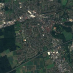
Rietberg
Photo: Michael Schickhoff · CC BY 2.5 · Wikimedia CommonsReport this photo · linked, not stored

Rietberg

North Rhine-Westphalia · 4.5 km E
14°Oct high
12wet days
45score
Rietberg
Satellite: Sentinel-2 cloudless 2016 by EOX IT Services GmbH · CC BY 4.0 · Contains modified Copernicus Sentinel data 2016

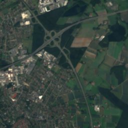
Langenberg

North Rhine-Westphalia · 5.7 km SW
15°Oct high
12wet days
46score
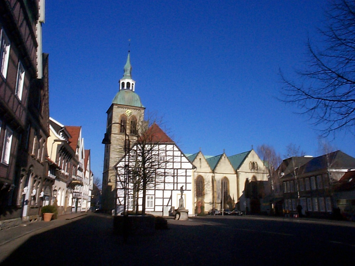
Langenberg
Rheda-Wiedenbrück
Photo: Unknown author · CC BY-SA 3.0 · Wikimedia CommonsReport this photo · linked, not stored

Rheda-Wiedenbrück

North Rhine-Westphalia · 5.8 km NW
14°Oct high
12wet days
45score
Rheda-Wiedenbrück
Wadersloh
Photo: Chris06 · Public domain · Wikimedia CommonsReport this photo · linked, not stored

Wadersloh

North Rhine-Westphalia · 12 km SW
15°Oct high
12wet days
47score
Wadersloh
Around here

Rietberg and around

Rietberg
Photo: Michael Schickhoff · CC BY 2.5 · Wikimedia CommonsReport this photo · linked, not stored

Rietberg

North Rhine-Westphalia · Germany
May–Jun · Sepbest months
24°July high
80 maltitude
Rietberg

Nature

Rothenbach (Ems)
Photo: Druffeler · CC BY-SA 3.0 · Wikimedia CommonsReport this photo · linked, not stored
5.4 km W

Rothenbach (Ems)

River
Rothenbach (Ems)
Wiedey
Photo: ISO229 · CC BY-SA 4.0 · Wikimedia CommonsReport this photo · linked, not stored
8.9 km NW

Wiedey

River
Wiedey
Satellite: Sentinel-2 cloudless 2016 by EOX IT Services GmbH · CC BY 4.0 · Contains modified Copernicus Sentinel data 2016
9.1 km NW

Ölbach

River
Ölbach

Mountains

Satellite: Sentinel-2 cloudless 2016 by EOX IT Services GmbH · CC BY 4.0 · Contains modified Copernicus Sentinel data 2016
36 km E

Preußische Velmerstot

468 m
Preußische Velmerstot
Velmerstot
Photo: User:Mada · CC BY-SA 2.5 · Wikimedia CommonsReport this photo · linked, not stored
36 km E

Velmerstot

464 m · Eggegebirge
Velmerstot
Barnacken
Photo: Jörg Braukmann · CC BY-SA 3.0 · Wikimedia CommonsReport this photo · linked, not stored
33 km E

Barnacken

446 m · Teutoburg Forest
Barnacken

Heritage

St. Katharina, Rietberg
Photo: Druffeler · CC BY-SA 3.0 · Wikimedia CommonsReport this photo · linked, not stored
0.1 km SE

St. Katharina, Rietberg

architectural heritage monument in North Rhine-Westphalia · 1726
St. Katharina, Rietberg
St. Johannes Nepomuk Kapelle
Photo: Joachim K. Löckener · CC BY 3.0 · Wikimedia CommonsReport this photo · linked, not stored
1.3 km S

St. Johannes Nepomuk Kapelle

architectural heritage monument in North Rhine-Westphalia
St. Johannes Nepomuk Kapelle
St. Johannes Baptist, Rietberg
Photo: ludger1961 · CC BY-SA 3.0 · Wikimedia CommonsReport this photo · linked, not stored
0.2 km S

St. Johannes Baptist, Rietberg

architectural heritage monument in North Rhine-Westphalia
St. Johannes Baptist, Rietberg

Museums

Kunsthaus Rietberg – Museum Wilfried Koch
Photo: Waltons77 · CC BY-SA 3.0 · Wikimedia CommonsReport this photo · linked, not stored
under 100 m SE

Kunsthaus Rietberg – Museum Wilfried Koch

Kunsthaus Rietberg – Museum Wilfried Koch
Satellite: Sentinel-2 cloudless 2016 by EOX IT Services GmbH · CC BY 4.0 · Contains modified Copernicus Sentinel data 2016
0.1 km SE

Heimathaus Rietberg

Heimathaus Rietberg
Gütersloh Town Museum
Photo: Hewa · CC BY 3.0 · Wikimedia CommonsReport this photo · linked, not stored
11 km N

Gütersloh Town Museum

Local museum · 1988
Gütersloh Town Museum