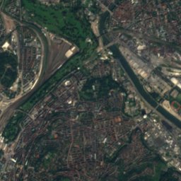
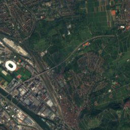
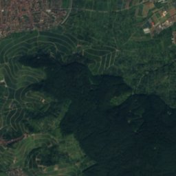
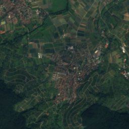
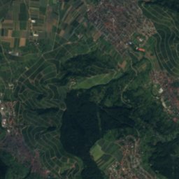
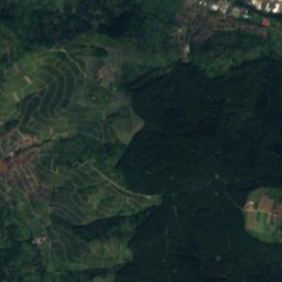
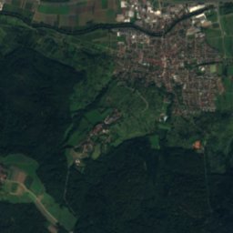
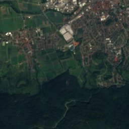
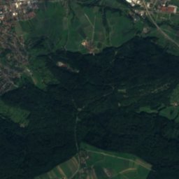
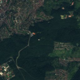
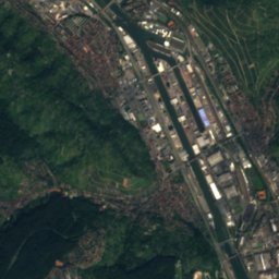
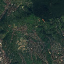
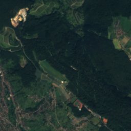
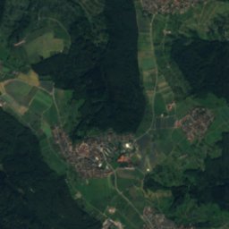
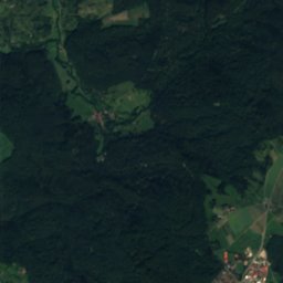
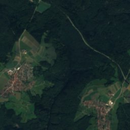
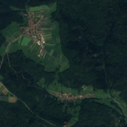
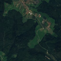
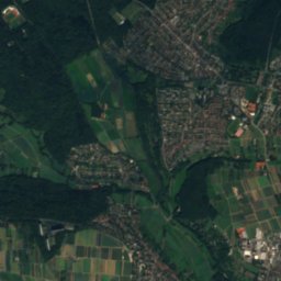
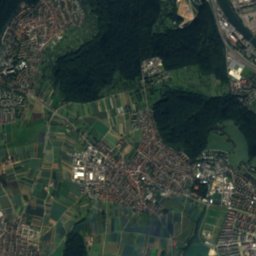
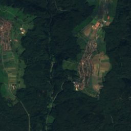
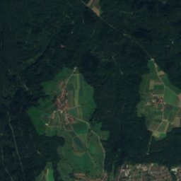
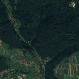
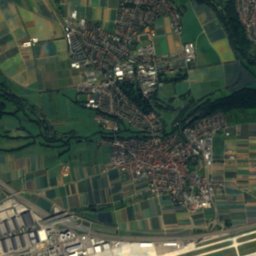
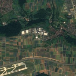
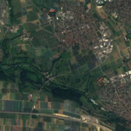
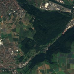
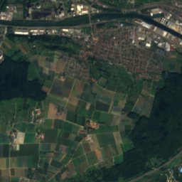
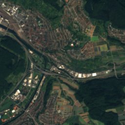
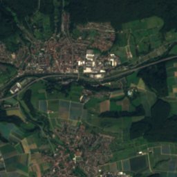
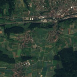
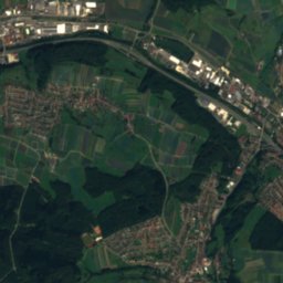
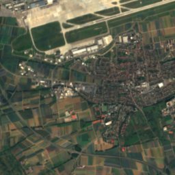
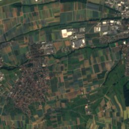
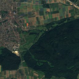
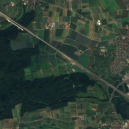
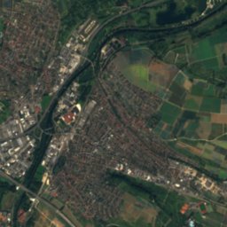
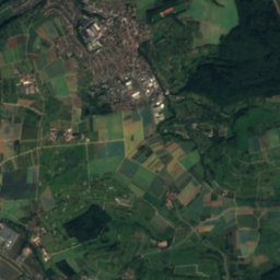
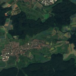
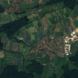
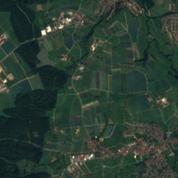
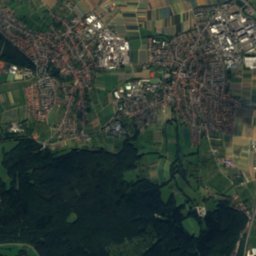
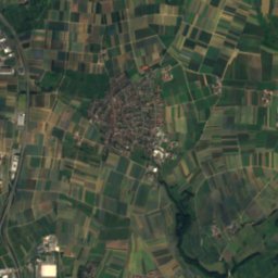
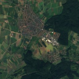
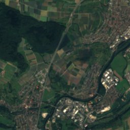
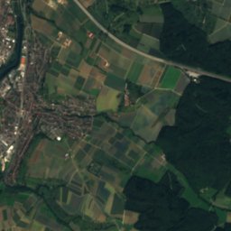
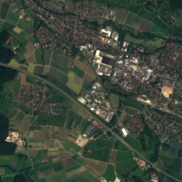
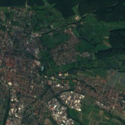
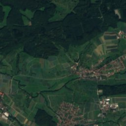
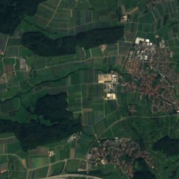
Satellite: Sentinel-2 cloudless 2016 by EOX IT Services GmbH · CC BY 4.0 · Contains modified Copernicus Sentinel data 2016

Photo: © Freak-Line-Community / Wikimedia Commons · CC BY-SA 3.0 · Wikimedia Commons
Lauter (Neckar)Report this photo · linked, not stored
Lauter (Neckar)Lauter (Neckar)Report this photo · linked, not stored
 Körsch
 Lindach

Photo: Franz Burger · Public domain · Wikimedia Commons
Erlachsee, Neuhausen auf den FildernReport this photo · linked, not stored
Erlachsee, Neuhausen auf den FildernErlachsee, Neuhausen auf den FildernReport this photo · linked, not stored
RiverPlochingen, Baden-Wurttemberg
Fils
River251 m elevationBest Jun · Aug–Sep
Elevation251 mabove sea level
Length63 kmsource to mouth
Nearest townPlochingen0.5 km
48.71° N, 9.42° EElevation 251 mUTC+1 · Central European Standard Time
When to goPlochingen · weather score
Best timeJun · Aug–Sep
October: high / low15° / 6°
River
Fils in brief
Fils is a river in Plochingen, Baden-Wurttemberg, Germany.
It lies at 251 m above sea level.
The nearest town is Plochingen, 0.5 km to the N, where the weather is best in June, August and September.
Fils is 63 km long.
Weather nearby now
Forecast for Plochingen11°
Rain now
Today
28 Oct
14°
5°
1 mm
Thu
29 Oct
14°
1°
Fri
30 Oct
13°
2°
Sat
31 Oct
12°
2°
Sun
1 Nov
11°
3°
Model run 00:00 UTCRefreshed several times a day
The course of the river
As mapped in OpenStreetMap, with the towns along its banks.- 1Geislingen an der Steige426 m
- 2Kuchen406 m
- 3Gingen an der Fils379 m
- 4Süßen361 m
- 5Salach354 m
- 6Eislingen338 m
- 7Göppingen323 m
- 8Rechberghausen330 m
- 9Uhingen292 m
- 10Albershausen318 m
- 11Ebersbach an der Fils280 m
- 12Reichenbach an der Fils261 m
- 13Plochingen276 m
- 14Deizisau251 m
sourcemouth (or where the mapped line leaves the country)
When to go
Climate of PlochingenThe best months around Fils
Month score in Plochingen
Comfort, dry days and sunshine · out of 10018
Jan
25
Feb
32
Mar
61
Apr
63
May
65
Jun
63
Jul
64
Aug
73
Sep
52
Oct
24
Nov
16
Dec
Map
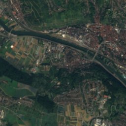
Fils from above
Nature nearbyAll of Germany

Photo: © Freak-Line-Community / Wikimedia Commons · CC BY-SA 3.0 · Wikimedia CommonsReport this photo · linked, not stored


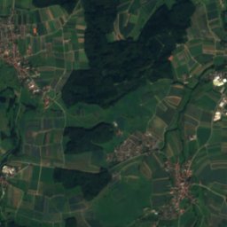
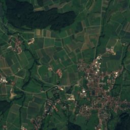
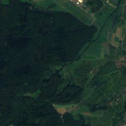
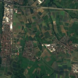
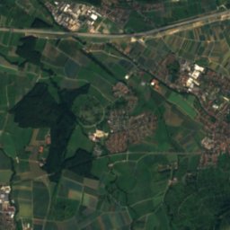
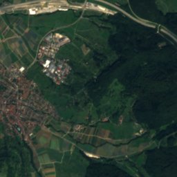
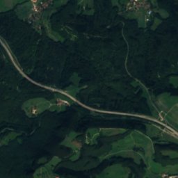
Satellite: Sentinel-2 cloudless 2016 by EOX IT Services GmbH · CC BY 4.0 · Contains modified Copernicus Sentinel data 2016
Summits nearbyMountains of Germany
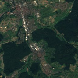
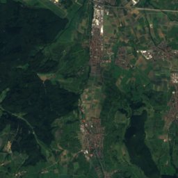
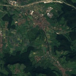
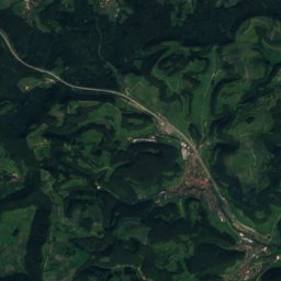
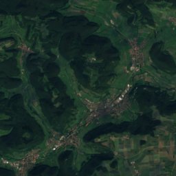
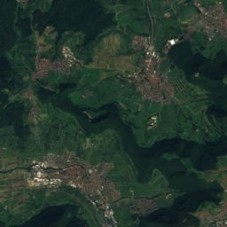
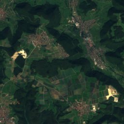
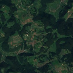
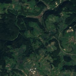
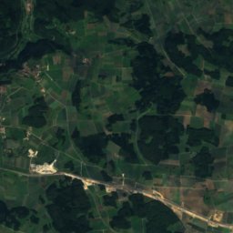
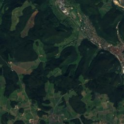
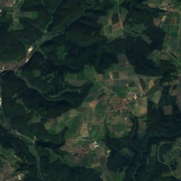
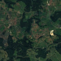
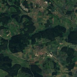
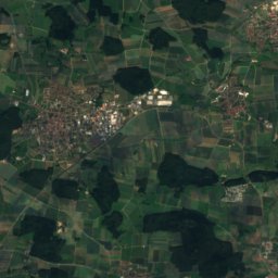
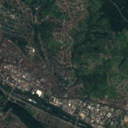
Satellite: Sentinel-2 cloudless 2016 by EOX IT Services GmbH · CC BY 4.0 · Contains modified Copernicus Sentinel data 2016

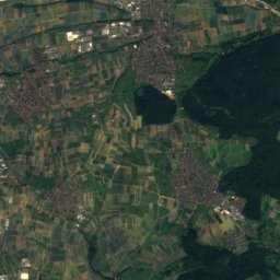
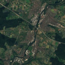
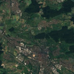
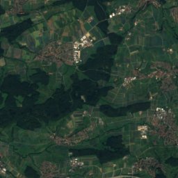
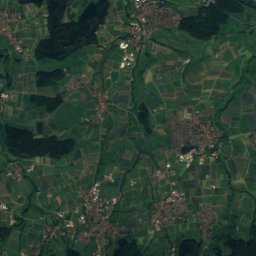
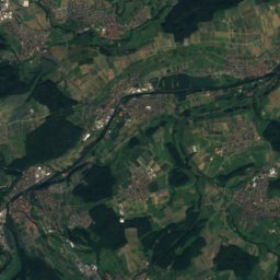
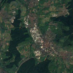
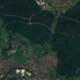
Satellite: Sentinel-2 cloudless 2016 by EOX IT Services GmbH · CC BY 4.0 · Contains modified Copernicus Sentinel data 2016
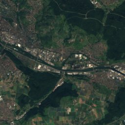
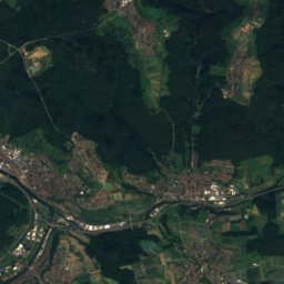
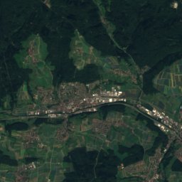
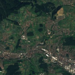
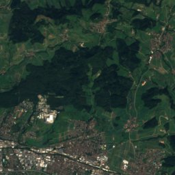
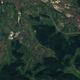
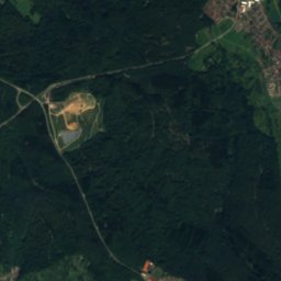
Satellite: Sentinel-2 cloudless 2016 by EOX IT Services GmbH · CC BY 4.0 · Contains modified Copernicus Sentinel data 2016


Stay nearby
Towns close by

Photo: Anita Hummel / Carl Williams (contributed by Speagles) · CC BY-SA 3.0 · Wikimedia CommonsReport this photo · linked, not stored
Plochingen
Baden-Wurttemberg · 0.5 km N
15°Oct high
12wet days
52score


Photo: Photo: Andreas Praefcke · Public domain · Wikimedia CommonsReport this photo · linked, not stored
Reichenbach an der Fils
Baden-Wurttemberg · 3.2 km E
15°Oct high
12wet days
52score
Around here
Plochingen and around
Photo: Anita Hummel / Carl Williams (contributed by Speagles) · CC BY-SA 3.0 · Wikimedia CommonsReport this photo · linked, not stored
Plochingen
Baden-Wurttemberg · Germany
Jun · Aug–Sepbest months
26°July high
276 maltitude
Nature

Photo: © Freak-Line-Community / Wikimedia Commons · CC BY-SA 3.0 · Wikimedia CommonsReport this photo · linked, not stored
Lauter (Neckar)
River
Mountains
Satellite: Sentinel-2 cloudless 2016 by EOX IT Services GmbH · CC BY 4.0 · Contains modified Copernicus Sentinel data 2016
Römerstein (mountain)
874 m · Swabian Jura


Heritage


Evangelische Kirche, Deizisau
cultural heritage monument in Baden-Württemberg

Stadtkirche St. Laurentius, Nürtingen
cultural heritage monument in Baden-Württemberg · 1488
Museums

Photo: --Xocolatl 21:45, 13 September 2006 (UTC) · Public domain · Wikimedia CommonsReport this photo · linked, not stored
Sammlung Domnick Nürtingen
Sculpture garden · 1967

Römisches Museum mit Archäologischem Park Köngen
1988


