Skip to content
Destinations
Weather & climate
Nature
Outdoors
Culture
Events
Sky & live
Elsebach
Photo: Kogge · CC BY-SA 3.0 · Wikimedia Commons
ElsebachReport this photo · linked, not stored
Wannebach (Ruhr, Ergste)
Photo: Kogge · CC0 · Wikimedia Commons
Wannebach (Ruhr, Ergste)Report this photo · linked, not stored
Wannebach (Ruhr, Ergste)
Lollenbach
Photo: Kogge · CC BY-SA 3.0 · Wikimedia Commons
LollenbachReport this photo · linked, not stored
Lollenbach
Lenne, North Rhine-Westphalia
Photo: Asio otus · CC BY-SA 3.0 · Wikimedia Commons
Lenne, North Rhine-WestphaliaReport this photo · linked, not stored
Lenne, North Rhine-Westphalia
Reingser Bach
Photo: Kogge · CC BY-SA 4.0 · Wikimedia Commons
Reingser BachReport this photo · linked, not stored
Reingser Bach
RiverVilligst, North Rhine-Westphalia

Elsebach

River105 m elevationBest May–Jun · Sep
Elevation105 mabove sea level
Length6.0 kmsource to mouth
Nearest townVilligst1.9 km
51.43° N, 7.56° EElevation 105 mUTC+2 · Central European Summer Time
When to goVilligst · weather score
JanFebMarAprMayJunJulAugSepOctNovDec46October
Best timeMay–Jun · Sep
October: high / low15° / 7°
River

Elsebach in brief

Elsebach is a river in Villigst, North Rhine-Westphalia, Germany.

It lies at 105 m above sea level.

The nearest town in the atlas is Villigst, 1.9 km to the E, where the weather is best in May, June and September.

Elsebach is 6.0 km long.

Villigst: weather and travel guide

Weather nearby now

Forecast for Villigst
11°
Clear now
Wind16 km/h
Humidity82%
Cloud cover19%
Today
22 Oct
13°
7°
Fri
23 Oct
14°
8°
7 mm
Sat
24 Oct
12°
7°
12 mm
Sun
25 Oct
14°
9°
24 mm
Mon
26 Oct
13°
7°
3 mm

Model run 00:00 UTCRefreshed several times a day

When to go

The best months around Elsebach

Climate of Villigst

Month score in Villigst

Comfort, dry days and sunshine · out of 100
15
Jan
19
Feb
21
Mar
55
Apr
64
May
64
Jun
64
Jul
64
Aug
69
Sep
46
Oct
15
Nov
14
Dec
Map

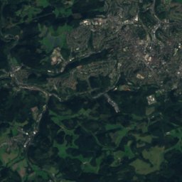
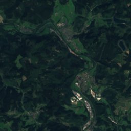
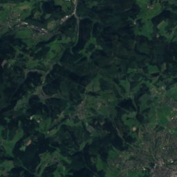
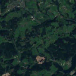
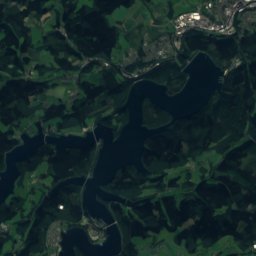
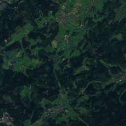
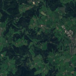
Elsebach from above

Nature nearbyAll of Germany
Photo: Kogge · CC0 · Wikimedia CommonsReport this photo · linked, not stored
Wannebach (Ruhr, Ergste)River4.4 kmSEWannebach (Ruhr, Ergste)
Photo: Kogge · CC BY-SA 3.0 · Wikimedia CommonsReport this photo · linked, not stored
LollenbachRiver4.8 kmELollenbach
Photo: Asio otus · CC BY-SA 3.0 · Wikimedia CommonsReport this photo · linked, not stored
Lenne, North Rhine-WestphaliaRiver5.0 kmWLenne, North Rhine-Westphalia
Photo: Kogge · CC BY-SA 4.0 · Wikimedia CommonsReport this photo · linked, not stored
Reingser BachRiver5.2 kmEReingser Bach
Photo: Bärwinkel,Klaus · CC BY 3.0 · Wikimedia CommonsReport this photo · linked, not stored
Wannebach (Lenne)River5.6 kmSWannebach (Lenne)
Photo: Helfmann · CC BY-SA 4.0 · Wikimedia CommonsReport this photo · linked, not stored
Wannebach (Ruhr, Westhofen)River6.3 kmWWannebach (Ruhr, Westhofen)
Summits nearbyMountains of Germany
Photo: J. Braukmann Milseburg · CC BY-SA 3.0 de · Wikimedia CommonsReport this photo · linked, not stored
Kohlberg, North Rhine-Westphalia21 km SE514 mJuly 22°Kohlberg, North Rhine-Westphalia
Photo: Michael Kramer · CC BY-SA 3.0 · Wikimedia CommonsReport this photo · linked, not stored
Ebberg, Hövel23 km E390 mJuly 23°Ebberg, Hövel
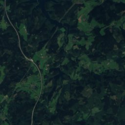
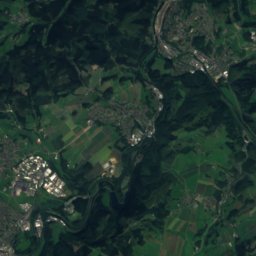
Satellite: Sentinel-2 cloudless 2016 by EOX IT Services GmbH · CC BY 4.0 · Contains modified Copernicus Sentinel data 2016
Winterberg, Schwelm24 km SW351 mJuly 23°Winterberg, Schwelm
Photo: User PodrPro · CC BY-SA 3.0 · Wikimedia CommonsReport this photo · linked, not stored
Klusenberg6.3 km W254 mJuly 24°Klusenberg
Photo: Arnoldius · CC BY-SA 3.0 · Wikimedia CommonsReport this photo · linked, not stored
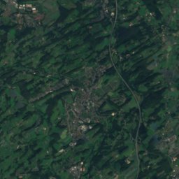
Syberg5.3 km W245 mJuly 24°Syberg
Photo: Simplicius · CC BY-SA 3.0 · Wikimedia CommonsReport this photo · linked, not stored
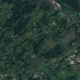
Hostreich-Berg16 km W243 mJuly 24°Hostreich-Berg
Stay nearby

Towns close by

Villigst
Photo: smial in memoriam Mbdortmund (talk) · FAL · Wikimedia CommonsReport this photo · linked, not stored
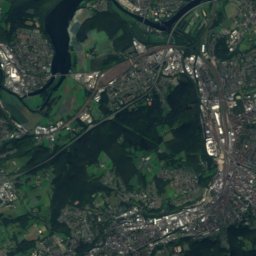
Villigst

North Rhine-Westphalia · 1.9 km E
15°Oct high
13wet days
46score
Villigst
Schwerte
Photo: Helfmann · CC BY-SA 3.0 · Wikimedia CommonsReport this photo · linked, not stored
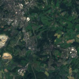
Schwerte

North Rhine-Westphalia · 2.0 km N
15°Oct high
13wet days
47score
Schwerte
Westhofen
Photo: Pimvantend · CC BY-SA 3.0 · Wikimedia CommonsReport this photo · linked, not stored
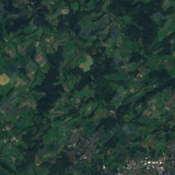
Westhofen

North Rhine-Westphalia · 2.0 km W
15°Oct high
13wet days
46score
Westhofen
Holzen
Photo: Helfmann at de.wikipedia · CC BY-SA 3.0 · Wikimedia CommonsReport this photo · linked, not stored
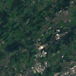
Holzen

North Rhine-Westphalia · 3.2 km NW
15°Oct high
13wet days
46score
Holzen
Around here

Villigst and around

Villigst
Photo: smial in memoriam Mbdortmund (talk) · FAL · Wikimedia CommonsReport this photo · linked, not stored
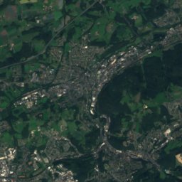
Villigst

North Rhine-Westphalia · Germany
May–Jun · Sepbest months
24°July high
140 maltitude
Villigst

Nature

Emscher
Photo: Frank Vincentz · CC BY-SA 3.0 · Wikimedia CommonsReport this photo · linked, not stored
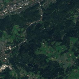
6.6 km N

Emscher

River · 115 m
Emscher
Lenne, North Rhine-Westphalia
Photo: Asio otus · CC BY-SA 3.0 · Wikimedia CommonsReport this photo · linked, not stored
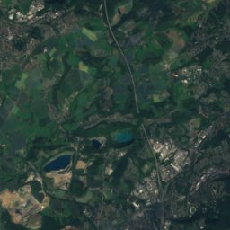
6.9 km W

Lenne, North Rhine-Westphalia

River · 98 m
Lenne, North Rhine-Westphalia
Volme
Photo: Frank Vincentz · CC BY-SA 3.0 · Wikimedia CommonsReport this photo · linked, not stored
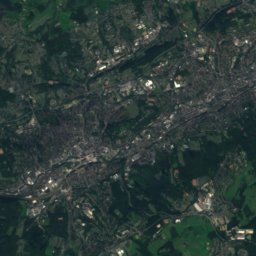
11 km SW

Volme

River
Volme

Mountains

Nordhelle (Ebbe Mountains)
Photo: Milseburg · CC BY-SA 3.0 · Wikimedia CommonsReport this photo · linked, not stored
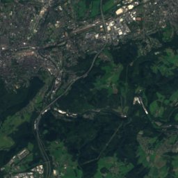
34 km S

Nordhelle (Ebbe Mountains)

663 m · Ebbe Mountains
Nordhelle (Ebbe Mountains)
Schomberg
Photo: Jörg Braukmann · CC BY-SA 3.0 · Wikimedia CommonsReport this photo · linked, not stored
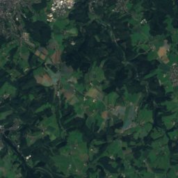
36 km SE

Schomberg

648 m · Lenne Mountains
Schomberg
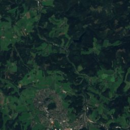
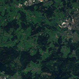
Satellite: Sentinel-2 cloudless 2016 by EOX IT Services GmbH · CC BY 4.0 · Contains modified Copernicus Sentinel data 2016
35 km SE

Reh-Berg

646 m
Reh-Berg

Heritage

Haus Villigst
Photo: Stefan Didam - Schmallenberg · CC BY-SA 3.0 · Wikimedia CommonsReport this photo · linked, not stored
0.9 km NE

Haus Villigst

architectural heritage monument · 1170
Haus Villigst
Rohrmeisterei Schwerte
Photo: smial · CC BY-SA 2.0 de · Wikimedia CommonsReport this photo · linked, not stored
1.2 km W

Rohrmeisterei Schwerte

architectural heritage monument in North Rhine-Westphalia · 1890
Rohrmeisterei Schwerte
St.-Victor- church
Photo: Unknown author · Public domain · Wikimedia CommonsReport this photo · linked, not stored
1.4 km NW

St.-Victor- church

architectural heritage monument · 1050
St.-Victor- church

Museums

Ruhrtalmuseum
Photo: Mbdortmund · Public domain · Wikimedia CommonsReport this photo · linked, not stored
1.4 km NW

Ruhrtalmuseum

Local museum · 1996
Ruhrtalmuseum
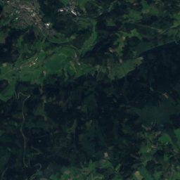
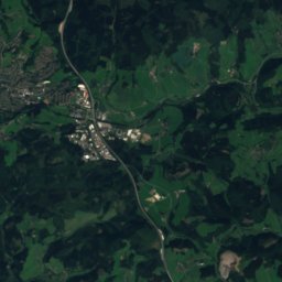
Satellite: Sentinel-2 cloudless 2016 by EOX IT Services GmbH · CC BY 4.0 · Contains modified Copernicus Sentinel data 2016
1.4 km NW

Kunstverein Schwerte e.V.

Kunstverein Schwerte e.V.
Museum of Art and Cultural History (Dortmund)
Photo: Smial · CC BY-SA 2.0 de · Wikimedia CommonsReport this photo · linked, not stored
13 km NW

Museum of Art and Cultural History (Dortmund)

Art museum · 1883
Museum of Art and Cultural History (Dortmund)