Skip to content
Destinations
Weather & climate
Nature
Outdoors
Culture
Events
Sky & live
Ellerteich
Photo: Olaf Meister · CC BY-SA 4.0 · Wikimedia Commons
EllerteichReport this photo · linked, not stored
Katzsohlbach
Photo: Benutzer:Hejkal · CC BY-SA 2.0 de · Wikimedia Commons
KatzsohlbachReport this photo · linked, not stored
Katzsohlbach
Bergsee, Saxony-Anhalt
Photo: Olaf Meister · CC BY-SA 4.0 · Wikimedia Commons
Bergsee, Saxony-AnhaltReport this photo · linked, not stored
Bergsee, Saxony-Anhalt
Hofteich
Photo: Olaf Meister · CC BY-SA 4.0 · Wikimedia Commons
HofteichReport this photo · linked, not stored
Hofteich
Leistenklippe
Photo: Leonhard Lenz · CC0 · Wikimedia Commons
LeistenklippeReport this photo · linked, not stored
Leistenklippe
LakeBreitenstein, Saxony-Anhalt

Ellerteich

LakeBest Jun · Aug–Sep
Elevation–above sea level
Area–surface
Nearest townBreitenstein2.1 km
51.64° N, 10.95° EUTC+1 · Central European Standard Time
When to goBreitenstein · weather score
JanFebMarAprMayJunJulAugSepOctNovDec35October
Best timeJun · Aug–Sep
October: high / low12° / 4°
Lake

Ellerteich in brief

Ellerteich is a lake in Breitenstein, Saxony-Anhalt, Germany.

The nearest town is Breitenstein, 2.1 km to the S, where the weather is best in June, August and September.

Breitenstein: weather and travel guide

Weather nearby now

Forecast for Breitenstein
11°
Sunny now
Wind22 km/h
Humidity56%
Cloud cover5%
Today
25 Oct
12°
5°
11 mm
Mon
26 Oct
11°
5°
Tue
27 Oct
15°
5°
Wed
28 Oct
12°
4°
Thu
29 Oct
11°
3°

Model run 00:00 UTCRefreshed several times a day

When to go

The best months around Ellerteich

Climate of Breitenstein

Month score in Breitenstein

Comfort, dry days and sunshine · out of 100
13
Jan
23
Feb
22
Mar
45
Apr
61
May
67
Jun
64
Jul
69
Aug
67
Sep
35
Oct
18
Nov
10
Dec
Map

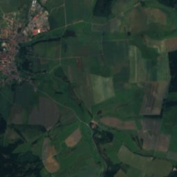
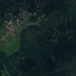
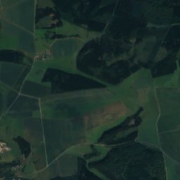
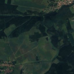
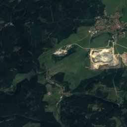
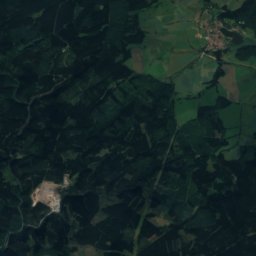
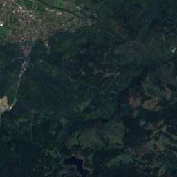
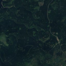
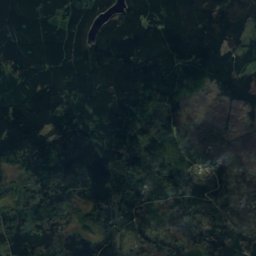
Ellerteich from above

Nature nearbyAll of Germany
Photo: Benutzer:Hejkal · CC BY-SA 2.0 de · Wikimedia CommonsReport this photo · linked, not stored
KatzsohlbachRiver1.2 kmEKatzsohlbach
Photo: Benutzer:Hejkal · CC BY-SA 2.0 de · Wikimedia CommonsReport this photo · linked, not stored
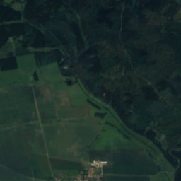
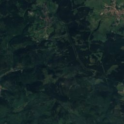
KatzsohlteichLake1.3 kmEKatzsohlteich
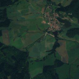
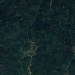
Satellite: Sentinel-2 cloudless 2016 by EOX IT Services GmbH · CC BY 4.0 · Contains modified Copernicus Sentinel data 2016
SautalRiver1.3 kmESautal
Photo: Olaf Meister · CC BY-SA 4.0 · Wikimedia CommonsReport this photo · linked, not stored
Bergsee, Saxony-AnhaltLake1.6 kmEBergsee, Saxony-Anhalt
Photo: Olaf Meister · CC BY-SA 4.0 · Wikimedia CommonsReport this photo · linked, not stored
HofteichLake2.6 kmEHofteich
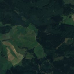
Satellite: Sentinel-2 cloudless 2016 by EOX IT Services GmbH · CC BY 4.0 · Contains modified Copernicus Sentinel data 2016
WahnbornRiver3.7 kmSWWahnborn
Summits nearbyMountains of Germany
Photo: Leonhard Lenz · CC0 · Wikimedia CommonsReport this photo · linked, not stored
Leistenklippe24 km NW901 mJuly 19°Leistenklippe
Photo: Puusterke · CC BY-SA 4.0 · Wikimedia CommonsReport this photo · linked, not stored
Erdbeerkopf24 km NW857 mJuly 19°Erdbeerkopf
Photo: Leonhard Lenz · CC0 · Wikimedia CommonsReport this photo · linked, not stored
Hohnekopf22 km NW840 mJuly 20°Hohnekopf
Photo: Lukas Beck · CC BY 4.0 · Wikimedia CommonsReport this photo · linked, not stored
Barenberg23 km NW696 mJuly 20°Barenberg
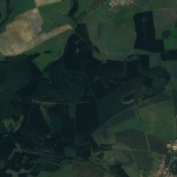
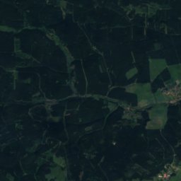
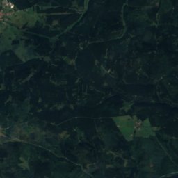
Satellite: Sentinel-2 cloudless 2016 by EOX IT Services GmbH · CC BY 4.0 · Contains modified Copernicus Sentinel data 2016
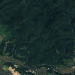
Ebersberg, Saxony-Anhalt21 km W687 mJuly 21°Ebersberg, Saxony-Anhalt
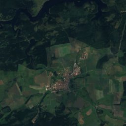
Satellite: Sentinel-2 cloudless 2016 by EOX IT Services GmbH · CC BY 4.0 · Contains modified Copernicus Sentinel data 2016
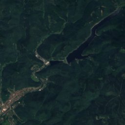
Großer Ehrenberg18 km W636 mJuly 21°Großer Ehrenberg
Stay nearby

Towns close by

Breitenstein
Photo: Sarkana · FAL · Wikimedia CommonsReport this photo · linked, not stored

Breitenstein

Saxony-Anhalt · 2.1 km S
12°Oct high
11wet days
35score
Breitenstein
Allrode
Photo: Benutzer:Hejkal · CC BY-SA 3.0 · Wikimedia CommonsReport this photo · linked, not stored

Allrode

Saxony-Anhalt · 4.7 km N
12°Oct high
11wet days
37score
Allrode
Stiege
Photo: Michael Köhler · CC BY 4.0 · Wikimedia CommonsReport this photo · linked, not stored

Stiege

Saxony-Anhalt · 5.5 km NW
12°Oct high
11wet days
34score
Stiege
Siptenfelde
Photo: Thomas Binder · CC BY-SA 4.0 · Wikimedia CommonsReport this photo · linked, not stored

Siptenfelde

Saxony-Anhalt · 7.0 km E
13°Oct high
11wet days
39score
Siptenfelde
Around here

Breitenstein and around

Breitenstein
Photo: Sarkana · FAL · Wikimedia CommonsReport this photo · linked, not stored

Breitenstein

Saxony-Anhalt · Germany
Jun · Aug–Sepbest months
22°July high
470 maltitude
Breitenstein

Nature

Katzsohlbach
Photo: Benutzer:Hejkal · CC BY-SA 2.0 de · Wikimedia CommonsReport this photo · linked, not stored
2.5 km NE

Katzsohlbach

River
Katzsohlbach
Glasebach (Selke)
Photo: Sarkana from Spandau, Deutschland · FAL · Wikimedia CommonsReport this photo · linked, not stored
7.7 km E

Glasebach (Selke)

River
Glasebach (Selke)
Uhlenbach, Saxony-Anhalt
Photo: Sarkana · FAL · Wikimedia CommonsReport this photo · linked, not stored
9.6 km E

Uhlenbach, Saxony-Anhalt

River
Uhlenbach, Saxony-Anhalt

Mountains

Brocken
Photo: Rosa-Maria Rinkl · CC BY-SA 4.0 · Wikimedia CommonsReport this photo · linked, not stored
30 km NW

Brocken

1,141 m · Harz
Brocken
Satellite: Sentinel-2 cloudless 2016 by EOX IT Services GmbH · CC BY 4.0 · Contains modified Copernicus Sentinel data 2016
29 km NW

Heinrichshöhe

1,045 m · Harz
Heinrichshöhe
Satellite: Sentinel-2 cloudless 2016 by EOX IT Services GmbH · CC BY 4.0 · Contains modified Copernicus Sentinel data 2016
30 km NW

Königsberg (Brocken)

1,034 m · Harz
Königsberg (Brocken)

Heritage

Albrechtshaus
Photo: Brück & Sohn Kunstverlag Meißen · CC0 · Wikimedia CommonsReport this photo · linked, not stored
2.8 km NW

Albrechtshaus

heritage monument in Saxony-Anhalt · 1897
Albrechtshaus
Güntersburg
Photo: testtest · FAL · Wikimedia CommonsReport this photo · linked, not stored
2.6 km NE

Güntersburg

Kulturdenkmal
Güntersburg
Bergsee
Photo: Olaf Meister · CC BY-SA 4.0 · Wikimedia CommonsReport this photo · linked, not stored
2.9 km NE

Bergsee

Kulturdenkmal
Bergsee

Museums

Mousetrap and Curiosity Museum
Photo: Migebert · CC BY-SA 3.0 · Wikimedia CommonsReport this photo · linked, not stored
3.8 km NE

Mousetrap and Curiosity Museum

Mousetrap and Curiosity Museum
Walpurgis Hall
Photo: User:Matthias Süßen · CC BY-SA 4.0 · Wikimedia CommonsReport this photo · linked, not stored
14 km NE

Walpurgis Hall

Walpurgis Hall
Hüttenmuseum Thale
Photo: Angela Huster · CC0 · Wikimedia CommonsReport this photo · linked, not stored
15 km N

Hüttenmuseum Thale

Hüttenmuseum Thale