Skip to content
Destinations
Weather & climate
Nature
Outdoors
Culture
Events
Sky & live
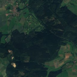
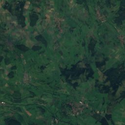
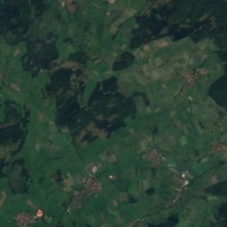
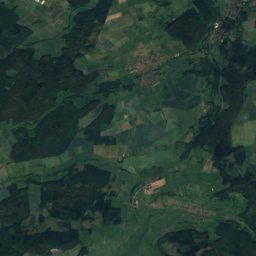
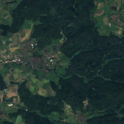
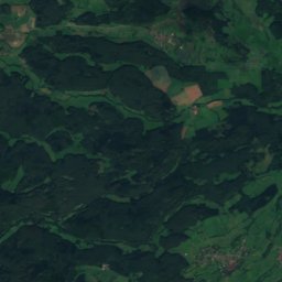
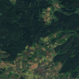
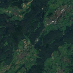
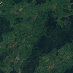
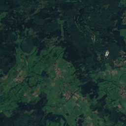
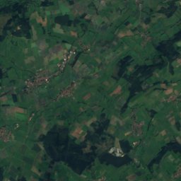
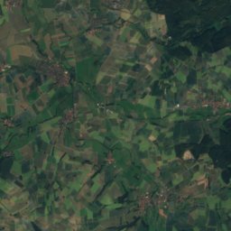
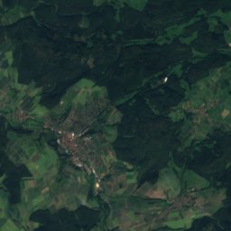
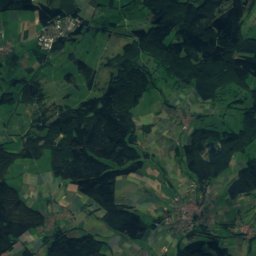
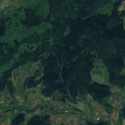
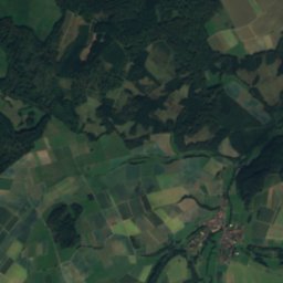
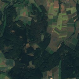
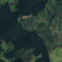
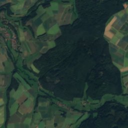
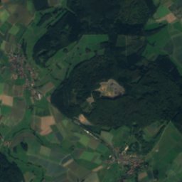
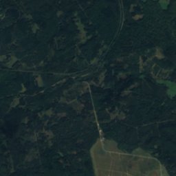
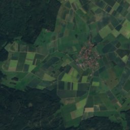
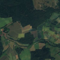
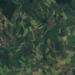
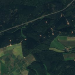
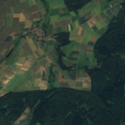
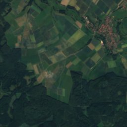
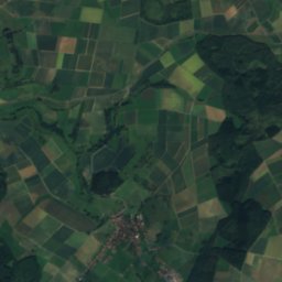
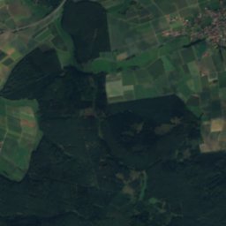
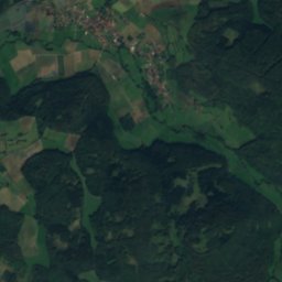
Satellite: Sentinel-2 cloudless 2016 by EOX IT Services GmbH · CC BY 4.0 · Contains modified Copernicus Sentinel data 2016
Antrifttalsperre
Photo: Sabrina9811 · CC BY-SA 4.0 · Wikimedia Commons
AntrifttalsperreReport this photo · linked, not stored
Antrifttalsperre
Klein
Photo: Elop · CC BY-SA 3.0 de · Wikimedia Commons
KleinReport this photo · linked, not stored
Klein
Eisenberg (Knüll)
Photo: 2micha · CC BY-SA 3.0 · Wikimedia Commons
Eisenberg (Knüll)Report this photo · linked, not stored
Eisenberg (Knüll)
Knüllköpfchen
Photo: 2micha · CC BY-SA 3.0 · Wikimedia Commons
KnüllköpfchenReport this photo · linked, not stored
Knüllköpfchen
RiverAlsfeld, Hesse

Eifa

RiverBest Jun · Aug–Sep
Elevation–above sea level
Length11 kmsource to mouth
Nearest townAlsfeld1.1 km
50.76° N, 9.28° EUTC+1 · Central European Standard Time
When to goAlsfeld · weather score
JanFebMarAprMayJunJulAugSepOctNovDec41October
Best timeJun · Aug–Sep
October: high / low13° / 6°
River

Eifa in brief

Eifa is a river in Alsfeld, Hesse, Germany — river.

The nearest town is Alsfeld, 1.1 km to the SW, where the weather is best in June, August and September.

Eifa is 11 km long.

Alsfeld: weather and travel guide

Weather nearby now

Forecast for Alsfeld
11°
Cloudy now
Wind11 km/h
Humidity92%
Cloud cover88%
Today
27 Oct
15°
10°
Wed
28 Oct
13°
5°
1 mm
Thu
29 Oct
13°
3°
Fri
30 Oct
13°
3°
Sat
31 Oct
10°
3°

Model run 12:00 UTCRefreshed several times a day

When to go

The best months around Eifa

Climate of Alsfeld

Month score in Alsfeld

Comfort, dry days and sunshine · out of 100
Map

Eifa from above

Nature nearbyAll of Germany
Photo: Sabrina9811 · CC BY-SA 4.0 · Wikimedia CommonsReport this photo · linked, not stored
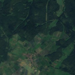
AntrifttalsperreLake5.8 kmWAntrifttalsperre
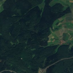
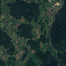
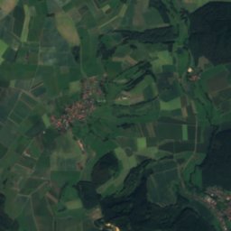
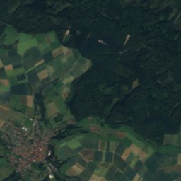
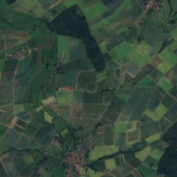
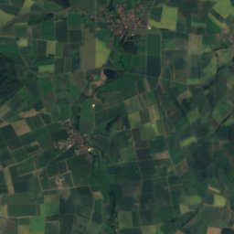
Satellite: Sentinel-2 cloudless 2016 by EOX IT Services GmbH · CC BY 4.0 · Contains modified Copernicus Sentinel data 2016
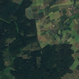
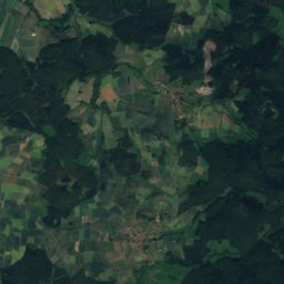
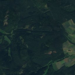
Bach von WallenrodRiver6.6 kmSBach von Wallenrod
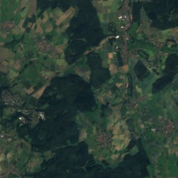
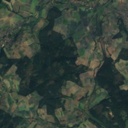
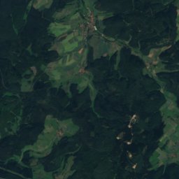
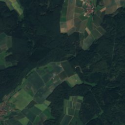
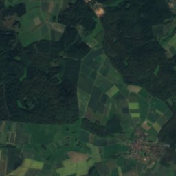
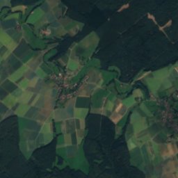
Satellite: Sentinel-2 cloudless 2016 by EOX IT Services GmbH · CC BY 4.0 · Contains modified Copernicus Sentinel data 2016
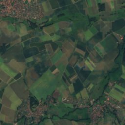
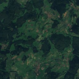
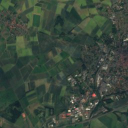
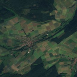
BerfaRiver6.8 kmNBerfa
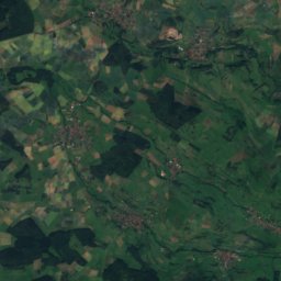
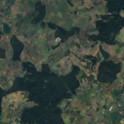
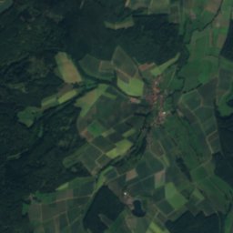
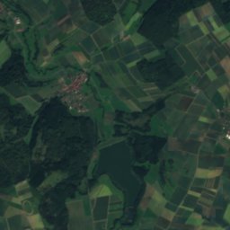
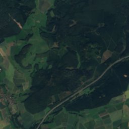
Satellite: Sentinel-2 cloudless 2016 by EOX IT Services GmbH · CC BY 4.0 · Contains modified Copernicus Sentinel data 2016
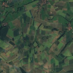
OcherbachRiver7.2 kmSWOcherbach
Photo: Elop · CC BY-SA 3.0 de · Wikimedia CommonsReport this photo · linked, not stored
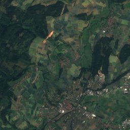
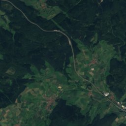
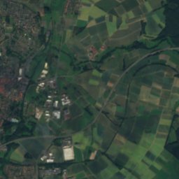
KleinRiver7.7 kmWKlein
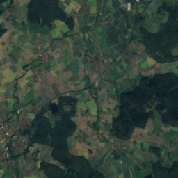
Satellite: Sentinel-2 cloudless 2016 by EOX IT Services GmbH · CC BY 4.0 · Contains modified Copernicus Sentinel data 2016
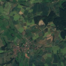
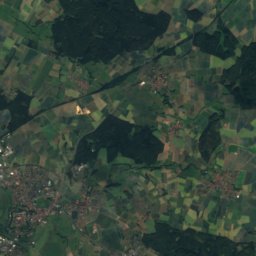
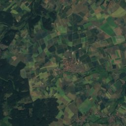
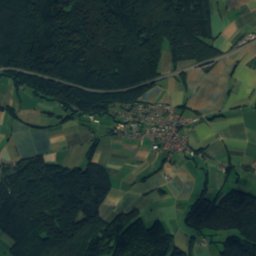
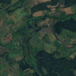
SchorbachRiver11 kmNESchorbach
Summits nearbyMountains of Germany
Satellite: Sentinel-2 cloudless 2016 by EOX IT Services GmbH · CC BY 4.0 · Contains modified Copernicus Sentinel data 2016
Sieben Ahorn25 km S753 mJuly 20°Sieben Ahorn
Photo: 2micha · CC BY-SA 3.0 · Wikimedia CommonsReport this photo · linked, not stored
Eisenberg (Knüll)22 km NE636 mJuly 22°Eisenberg (Knüll)
Photo: 2micha · CC BY-SA 3.0 · Wikimedia CommonsReport this photo · linked, not stored
Knüllköpfchen20 km NE634 mJuly 22°Knüllköpfchen
Satellite: Sentinel-2 cloudless 2016 by EOX IT Services GmbH · CC BY 4.0 · Contains modified Copernicus Sentinel data 2016
Waldknüll21 km NE624 mJuly 22°Waldknüll
Photo: Foto: Sven Teschke · CC BY-SA 3.0 de · Wikimedia CommonsReport this photo · linked, not stored
Schlossberg Ulrichstein21 km S614 mJuly 22°Schlossberg Ulrichstein
Photo: Neptuul · CC BY 3.0 · Wikimedia CommonsReport this photo · linked, not stored
Vogels Berg18 km S598 mJuly 22°Vogels Berg
Stay nearby

Towns close by

Alsfeld
Photo: KlausFoehl · CC BY-SA 3.0 · Wikimedia CommonsReport this photo · linked, not stored

Alsfeld

Hesse · 1.1 km SW
13°Oct high
12wet days
41score
Alsfeld
Romrod
Photo: Foto: Sven Teschke · CC BY-SA 3.0 de · Wikimedia CommonsReport this photo · linked, not stored

Romrod

Hesse · 6.6 km SW
13°Oct high
12wet days
40score
Romrod
Antriftal
Photo: F.baumgarten · CC BY-SA 4.0 · Wikimedia CommonsReport this photo · linked, not stored

Antriftal

Hesse · 8.1 km NW
13°Oct high
12wet days
40score
Antriftal
Schrecksbach
Photo: Presse03 · CC BY-SA 3.0 · Wikimedia CommonsReport this photo · linked, not stored

Schrecksbach

Hesse · 8.5 km N
14°Oct high
12wet days
42score
Schrecksbach
Around here

Alsfeld and around

Alsfeld
Photo: KlausFoehl · CC BY-SA 3.0 · Wikimedia CommonsReport this photo · linked, not stored

Alsfeld

Hesse · Germany
Jun · Aug–Sepbest months
24°July high
273 maltitude
Alsfeld

Nature

Klein
Photo: Elop · CC BY-SA 3.0 de · Wikimedia CommonsReport this photo · linked, not stored
6.8 km W

Klein

River
Klein
Satellite: Sentinel-2 cloudless 2016 by EOX IT Services GmbH · CC BY 4.0 · Contains modified Copernicus Sentinel data 2016
7.2 km N

Berfa

River
Berfa
Antrifttalsperre
Photo: Sabrina9811 · CC BY-SA 4.0 · Wikimedia CommonsReport this photo · linked, not stored
5.1 km NW

Antrifttalsperre

Lake · 277 m
Antrifttalsperre

Mountains

Satellite: Sentinel-2 cloudless 2016 by EOX IT Services GmbH · CC BY 4.0 · Contains modified Copernicus Sentinel data 2016
24 km S

Vogelsberg

773 m · East Hesse Highlands
Vogelsberg
Taufstein
Photo: J. Braukmann Milseburg · CC BY-SA 3.0 · Wikimedia CommonsReport this photo · linked, not stored
26 km S

Taufstein

773 m · Vogelsberg
Taufstein
Hoherodskopf
Photo: MdE · CC BY-SA 3.0 · Wikimedia CommonsReport this photo · linked, not stored
27 km S

Hoherodskopf

764 m · Vogelsberg
Hoherodskopf

Heritage

Am Kreuz 10 (Alsfeld)
Photo: Tilman2007 · CC BY-SA 4.0 · Wikimedia CommonsReport this photo · linked, not stored
0.2 km SE

Am Kreuz 10 (Alsfeld)

cultural heritage monument in Hesse · 1800
Am Kreuz 10 (Alsfeld)
Dreifaltigkeitskirche, Alsfeld
Photo: Oliver Abels (SBT) · CC BY 2.5 · Wikimedia CommonsReport this photo · linked, not stored
0.3 km S

Dreifaltigkeitskirche, Alsfeld

cultural heritage monument in Hesse
Dreifaltigkeitskirche, Alsfeld
Alsfeld (Oberhess) station
Photo: Stefan Flöper / Wikimedia Commons · CC BY-SA 4.0 · Wikimedia CommonsReport this photo · linked, not stored
0.5 km W

Alsfeld (Oberhess) station

Kulturdenkmal
Alsfeld (Oberhess) station

Museums

Märchenhaus
Photo: Ymblanter · CC BY-SA 4.0 · Wikimedia CommonsReport this photo · linked, not stored
0.2 km SW

Märchenhaus

Märchenhaus
Alsfeld City Museum
Photo: Reinhardhauke · CC BY-SA 3.0 · Wikimedia CommonsReport this photo · linked, not stored
0.1 km S

Alsfeld City Museum

1897
Alsfeld City Museum
Satellite: Sentinel-2 cloudless 2016 by EOX IT Services GmbH · CC BY 4.0 · Contains modified Copernicus Sentinel data 2016
8.3 km N

Schwälmer Dorfmuseum Holzburg e.V.

Schwälmer Dorfmuseum Holzburg e.V.