
Photo: Assenmacher · CC BY-SA 4.0 · Wikimedia Commons
Eichen-BachReport this photo · linked, not stored
Eichen-BachReport this photo · linked, not stored
 Dreis-Bach

Photo: Eifelfan535 · CC BY-SA 3.0 · Wikimedia Commons
ArmuthsbachReport this photo · linked, not stored
ArmuthsbachArmuthsbachReport this photo · linked, not stored
 Trierbach

Photo: Superbass · CC BY-SA 4.0 · Wikimedia Commons
Nohner BachReport this photo · linked, not stored
Nohner BachNohner BachReport this photo · linked, not stored
RiverFuchshofen, Rheinland-Pfalz
Eichen-Bach
River276 m elevationBest Jul–Sep
Elevation276 mabove sea level
Length6.9 kmsource to mouth
Nearest townFuchshofen1.1 km
50.42° N, 6.84° EElevation 276 mUTC+1 · Central European Standard Time
When to goFuchshofen · weather score
Best timeJul–Sep
October: high / low14° / 6°
River
Eichen-Bach in brief
Eichen-Bach is a river in Fuchshofen, Rheinland-Pfalz, Germany.
It lies at 276 m above sea level.
The nearest town is Fuchshofen, 1.1 km to the NE, where the weather is best in July, August and September.
Eichen-Bach is 6.9 km long.
Weather nearby now
Forecast for Fuchshofen13°
Cloudy now
Today
27 Oct
16°
9°
Wed
28 Oct
14°
4°
2 mm
Thu
29 Oct
14°
3°
Fri
30 Oct
13°
3°
Sat
31 Oct
12°
2°
Model run 00:00 UTCRefreshed several times a day
When to go
Climate of FuchshofenThe best months around Eichen-Bach
Month score in Fuchshofen
Comfort, dry days and sunshine · out of 10015
Jan
20
Feb
21
Mar
52
Apr
63
May
64
Jun
65
Jul
65
Aug
72
Sep
40
Oct
16
Nov
14
Dec
Map
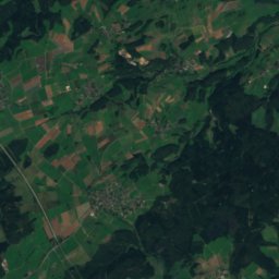
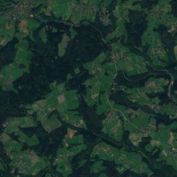
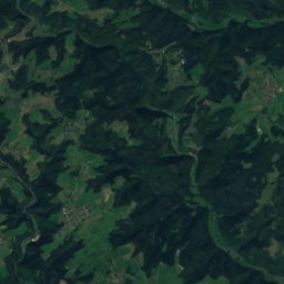
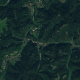
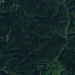
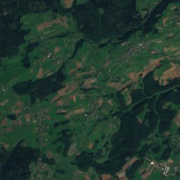
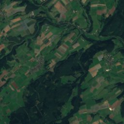
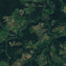
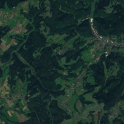
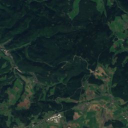
Eichen-Bach from above
Nature nearbyAll of Germany


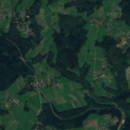
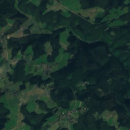
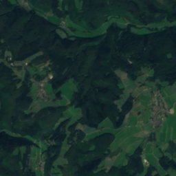
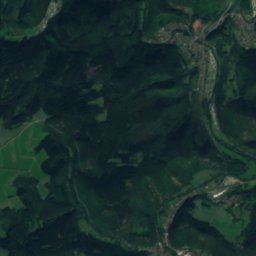
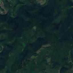
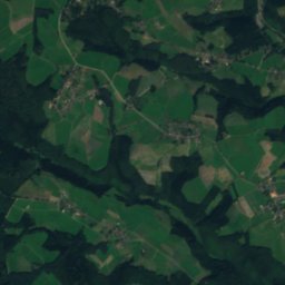
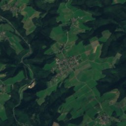
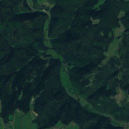
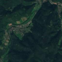
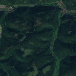
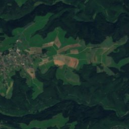
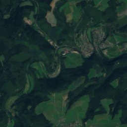
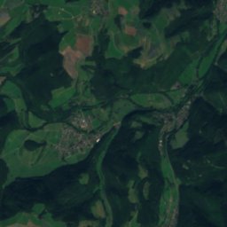
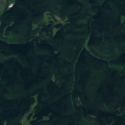
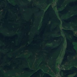
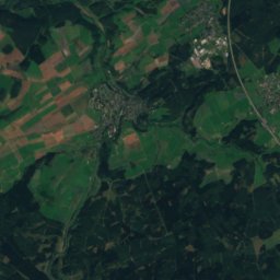
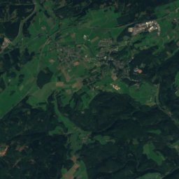
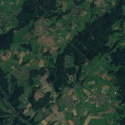
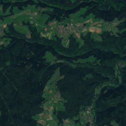
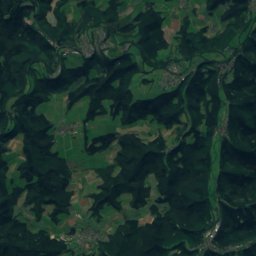
Satellite: Sentinel-2 cloudless 2016 by EOX IT Services GmbH · CC BY 4.0 · Contains modified Copernicus Sentinel data 2016
Summits nearbyMountains of Germany


Stay nearby
Towns close by


Around here
Fuchshofen and around
Nature
Satellite: Sentinel-2 cloudless 2016 by EOX IT Services GmbH · CC BY 4.0 · Contains modified Copernicus Sentinel data 2016
Adenauer Bach
River · 215 m


