Skip to content
Destinations
Weather & climate
Nature
Outdoors
Culture
Events
Sky & live
Echaz
Photo: André Karwath aka Aka · CC BY-SA 2.5 · Wikimedia Commons
EchazReport this photo · linked, not stored
Schutzhütte Neues Häusle
Photo: Qwave · CC BY-SA 4.0 · Wikimedia Commons
Schutzhütte Neues HäusleReport this photo · linked, not stored
Schutzhütte Neues Häusle
Breitenbach (Echaz)
Photo: Windharp · CC BY-SA 4.0 · Wikimedia Commons
Breitenbach (Echaz)Report this photo · linked, not stored
Breitenbach (Echaz)
Goldersbach
Photo: Martin Rathgeber · CC BY 2.5 · Wikimedia Commons
GoldersbachReport this photo · linked, not stored
Goldersbach
Neckarinsel
Photo: Dktue · CC BY-SA 4.0 · Wikimedia Commons
NeckarinselReport this photo · linked, not stored
Neckarinsel
RiverKirchentellinsfurt, Baden-Wurttemberg

Echaz

River308 m elevationBest Jun–Jul · Sep
Elevation308 mabove sea level
Length23 kmsource to mouth
Nearest townKirchentellinsfurt0.6 km
48.53° N, 9.14° EElevation 308 mUTC+1 · Central European Standard Time
When to goKirchentellinsfurt · weather score
JanFebMarAprMayJunJulAugSepOctNovDec50October
Best timeJun–Jul · Sep
October: high / low15° / 6°
River

Echaz in brief

Echaz is a river in Kirchentellinsfurt, Baden-Wurttemberg, Germany.

It lies at 308 m above sea level.

The nearest town is Kirchentellinsfurt, 0.6 km to the E, where the weather is best in June, July and September.

Echaz is 23 km long.

Kirchentellinsfurt: weather and travel guide

Weather nearby now

Forecast for Kirchentellinsfurt
11°
Rain now
Wind26 km/h
Humidity92%
Cloud cover100%
Today
25 Oct
13°
6°
16 mm
Mon
26 Oct
13°
5°
Tue
27 Oct
20°
6°
Wed
28 Oct
14°
6°
1 mm
Thu
29 Oct
14°
2°

Model run 00:00 UTCRefreshed several times a day

The course of the river

As mapped in OpenStreetMap, with the towns along its banks.
sourcemouth (or where the mapped line leaves the country)
When to go

The best months around Echaz

Climate of Kirchentellinsfurt

Month score in Kirchentellinsfurt

Comfort, dry days and sunshine · out of 100
19
Jan
26
Feb
32
Mar
59
Apr
63
May
65
Jun
65
Jul
64
Aug
74
Sep
50
Oct
24
Nov
17
Dec
Map

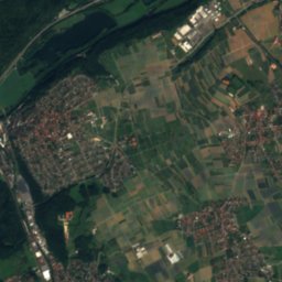
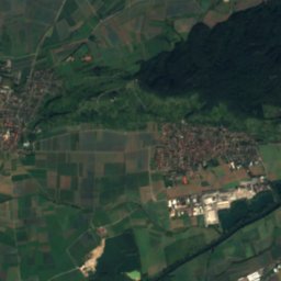
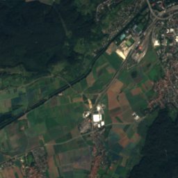
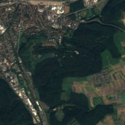
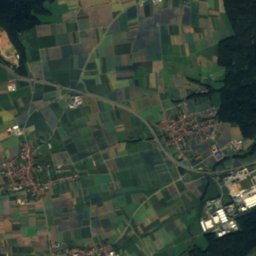
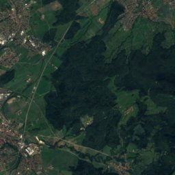
Echaz from above

Nature nearbyAll of Germany
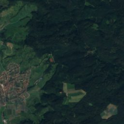
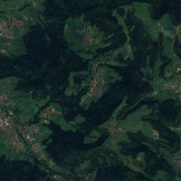
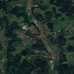
Satellite: Sentinel-2 cloudless 2016 by EOX IT Services GmbH · CC BY 4.0 · Contains modified Copernicus Sentinel data 2016
AmmerRiver3.9 kmWAmmer
Photo: Qwave · CC BY-SA 4.0 · Wikimedia CommonsReport this photo · linked, not stored
Schutzhütte Neues HäusleMountain hut3.9 kmNWSchutzhütte Neues Häusle
Photo: Windharp · CC BY-SA 4.0 · Wikimedia CommonsReport this photo · linked, not stored
Breitenbach (Echaz)River4.2 kmSEBreitenbach (Echaz)
Photo: Martin Rathgeber · CC BY 2.5 · Wikimedia CommonsReport this photo · linked, not stored
GoldersbachRiver4.7 kmWGoldersbach
Photo: Dktue · CC BY-SA 4.0 · Wikimedia CommonsReport this photo · linked, not stored
NeckarinselIsland6.6 kmWNeckarinsel
Photo: Giftzwerg 88 · CC BY-SA 3.0 · Wikimedia CommonsReport this photo · linked, not stored
Schutzhütte BuchbachhäusleMountain hut7.0 kmESchutzhütte Buchbachhäusle
Summits nearbyMountains of Germany
Satellite: Sentinel-2 cloudless 2016 by EOX IT Services GmbH · CC BY 4.0 · Contains modified Copernicus Sentinel data 2016
Köbele20 km S902 mJuly 22°Köbele
Photo: Zollernalb · CC BY 2.5 · Wikimedia CommonsReport this photo · linked, not stored
Kornbühl20 km S887 mJuly 22°Kornbühl
Photo: Ramessos · Public domain · Wikimedia CommonsReport this photo · linked, not stored
Bolberg15 km S881 mJuly 22°Bolberg
Photo: Björn Appel · CC BY-SA 3.0 · Wikimedia CommonsReport this photo · linked, not stored
Roßberg (Swabian Jura)13 km S870 mJuly 22°Roßberg (Swabian Jura)
Photo: Ramessos · Public domain · Wikimedia CommonsReport this photo · linked, not stored
Dreifürstenstein19 km S860 mJuly 22°Dreifürstenstein
Photo: Muck · CC BY-SA 4.0 · Wikimedia CommonsReport this photo · linked, not stored
Sternberg (Gomadingen)24 km SE844 mJuly 22°Sternberg (Gomadingen)
Stay nearby

Towns close by

Kirchentellinsfurt
Photo: Benjamin.nagel · CC BY-SA 3.0 · Wikimedia CommonsReport this photo · linked, not stored

Kirchentellinsfurt

Baden-Wurttemberg · 0.6 km E
15°Oct high
12wet days
50score
Kirchentellinsfurt
Kusterdingen
Photo: Benjamin.nagel · CC BY-SA 3.0 · Wikimedia CommonsReport this photo · linked, not stored

Kusterdingen

Baden-Wurttemberg · 1.8 km SW
15°Oct high
12wet days
48score
Kusterdingen
Wannweil
Photo: Windharp · CC BY-SA 4.0 · Wikimedia CommonsReport this photo · linked, not stored

Wannweil

Baden-Wurttemberg · 2.0 km SE
15°Oct high
12wet days
49score
Wannweil
Pliezhausen
Photo: Wamito · Public domain · Wikimedia CommonsReport this photo · linked, not stored

Pliezhausen

Baden-Wurttemberg · 5.8 km NE
15°Oct high
12wet days
50score
Pliezhausen
Around here

Kirchentellinsfurt and around

Kirchentellinsfurt
Photo: Benjamin.nagel · CC BY-SA 3.0 · Wikimedia CommonsReport this photo · linked, not stored

Kirchentellinsfurt

Baden-Wurttemberg · Germany
Jun–Jul · Sepbest months
25°July high
367 maltitude
Kirchentellinsfurt

Nature

Goldersbach
Photo: Martin Rathgeber · CC BY 2.5 · Wikimedia CommonsReport this photo · linked, not stored
5.3 km W

Goldersbach

River
Goldersbach
Schaich
Photo: Thomas Feldes · CC BY-SA 2.5 · Wikimedia CommonsReport this photo · linked, not stored
11 km NE

Schaich

River
Schaich
Breitenbach (Echaz)
Photo: Windharp · CC BY-SA 4.0 · Wikimedia CommonsReport this photo · linked, not stored
3.9 km SE

Breitenbach (Echaz)

River
Breitenbach (Echaz)

Mountains

Tierberg
Photo: Olga Ernst · CC BY-SA 4.0 · Wikimedia CommonsReport this photo · linked, not stored
40 km S

Tierberg

982 m · Swabian Jura
Tierberg
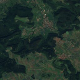
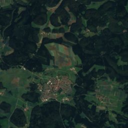
Satellite: Sentinel-2 cloudless 2016 by EOX IT Services GmbH · CC BY 4.0 · Contains modified Copernicus Sentinel data 2016
30 km S

Burg, Baden-Wurttemberg

976 m · Swabian Jura
Burg, Baden-Wurttemberg
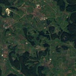
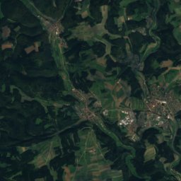
Satellite: Sentinel-2 cloudless 2016 by EOX IT Services GmbH · CC BY 4.0 · Contains modified Copernicus Sentinel data 2016
34 km S

Braunhardsberg

970 m · Swabian Jura
Braunhardsberg

Heritage

Johanneskirche, Wannweil
Photo: Bonjour35 · CC BY-SA 4.0 · Wikimedia CommonsReport this photo · linked, not stored
1.9 km S

Johanneskirche, Wannweil

cultural heritage monument in Baden-Württemberg
Johanneskirche, Wannweil
Marienkirche, Kusterdingen
Photo: Benjamin.nagel · CC BY-SA 3.0 · Wikimedia CommonsReport this photo · linked, not stored
2.3 km SW

Marienkirche, Kusterdingen

Kulturdenkmal
Marienkirche, Kusterdingen
Martinskirche (Kirchentellinsfurt)
Photo: Benjamin.nagel · CC BY-SA 3.0 · Wikimedia CommonsReport this photo · linked, not stored
0.2 km S

Martinskirche (Kirchentellinsfurt)

cultural heritage monument in Baden-Württemberg
Martinskirche (Kirchentellinsfurt)

Museums

Kunsthalle Tübingen
Photo: Björn Appel · CC BY-SA 3.0 · Wikimedia CommonsReport this photo · linked, not stored
7.4 km W

Kunsthalle Tübingen

Art museum · 1971
Kunsthalle Tübingen
Museum der Alltagskultur
Photo: qwesy qwesy · CC BY 3.0 · Wikimedia CommonsReport this photo · linked, not stored
12 km N

Museum der Alltagskultur

Ethnographic museum · 1989
Museum der Alltagskultur
Museum Ritter (Waldenbuch)
Photo: --Xocolatl 20:18, 1 November 2006 (UTC) · Public domain · Wikimedia CommonsReport this photo · linked, not stored
12 km N

Museum Ritter (Waldenbuch)

Art museum · 2005
Museum Ritter (Waldenbuch)