Skip to content
Destinations
Weather & climate
Nature
Outdoors
Culture
Events
Sky & live
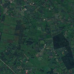
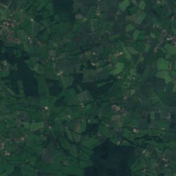
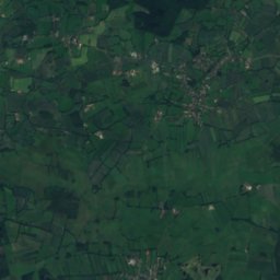
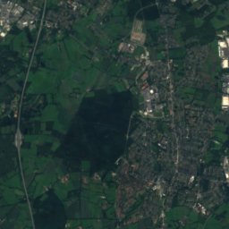
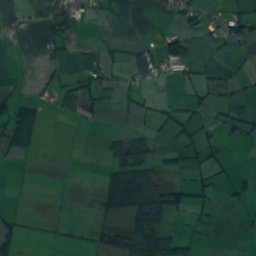
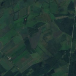
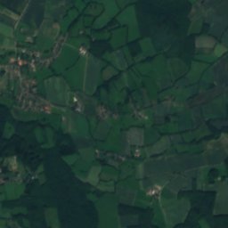
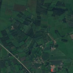
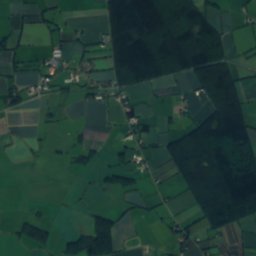
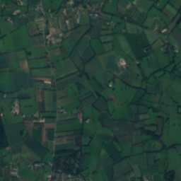
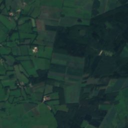
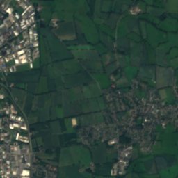
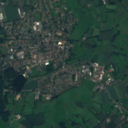
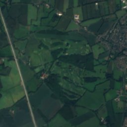
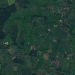
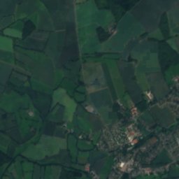
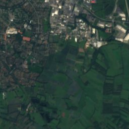
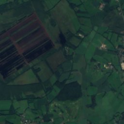
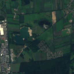
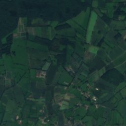
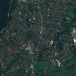
Satellite: Sentinel-2 cloudless 2016 by EOX IT Services GmbH · CC BY 4.0 · Contains modified Copernicus Sentinel data 2016
Bilsener Bek
Photo: flamenc · CC BY-SA 3.0 · Wikimedia Commons
Bilsener BekReport this photo · linked, not stored
Bilsener Bek
Gronau, Schleswig-Holstein
Photo: flamenc · CC BY-SA 3.0 · Wikimedia Commons
Gronau, Schleswig-HolsteinReport this photo · linked, not stored
Gronau, Schleswig-Holstein
Prophetensee
Photo: Nightflyer (talk) 20:54, 17 May 2015 (UTC) · CC BY 3.0 · Wikimedia Commons
ProphetenseeReport this photo · linked, not stored
Prophetensee
Elsen-See
Photo: Elsensee · CC BY-SA 3.0 · Wikimedia Commons
Elsen-SeeReport this photo · linked, not stored
Elsen-See
RiverBilsen, Schleswig-Holstein

Ebach

RiverBest May · Jul · Sep
Elevation–above sea level
Length4.6 kmsource to mouth
Nearest townBilsen1.8 km
53.76° N, 9.90° EUTC+1 · Central European Standard Time
When to goBilsen · weather score
JanFebMarAprMayJunJulAugSepOctNovDec37October
Best timeMay · Jul · Sep
October: high / low14° / 6°
River

Ebach in brief

Ebach is a river in Bilsen, Schleswig-Holstein, Germany.

The nearest town is Bilsen, 1.8 km to the NW, where the weather is best in May, July and September.

Ebach is 4.6 km long.

Bilsen: weather and travel guide

Weather nearby now

Forecast for Bilsen
11°
Cloudy now
Wind16 km/h
Humidity88%
Cloud cover100%
Today
27 Oct
15°
9°
1 mm
Wed
28 Oct
14°
8°
2 mm
Thu
29 Oct
14°
7°
Fri
30 Oct
12°
7°
Sat
31 Oct
13°
6°

Model run 12:00 UTCRefreshed several times a day

When to go

The best months around Ebach

Climate of Bilsen

Month score in Bilsen

Comfort, dry days and sunshine · out of 100
13
Jan
21
Feb
24
Mar
50
Apr
70
May
63
Jun
64
Jul
64
Aug
66
Sep
37
Oct
14
Nov
13
Dec
Map

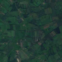
Ebach from above

Nature nearbyAll of Germany
Photo: flamenc · CC BY-SA 3.0 · Wikimedia CommonsReport this photo · linked, not stored
Bilsener BekRiver0.9 kmNBilsener Bek
Photo: flamenc · CC BY-SA 3.0 · Wikimedia CommonsReport this photo · linked, not stored
Gronau, Schleswig-HolsteinRiver1.5 kmSWGronau, Schleswig-Holstein
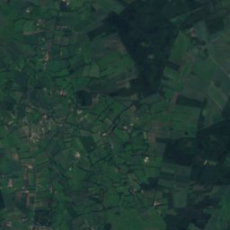
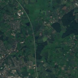
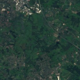
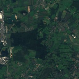
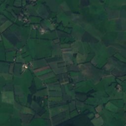
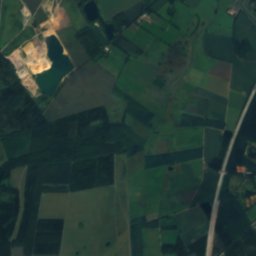
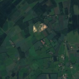
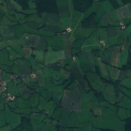
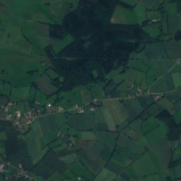
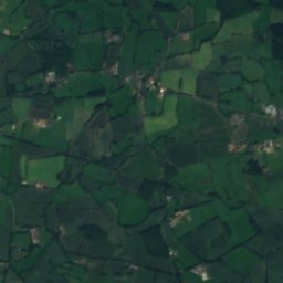
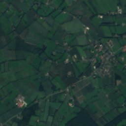
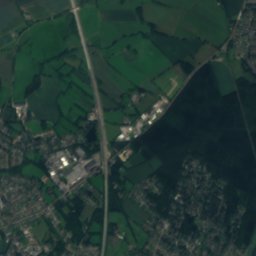
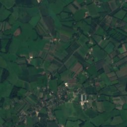
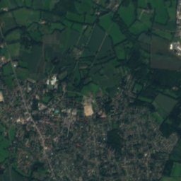
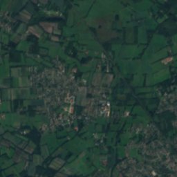
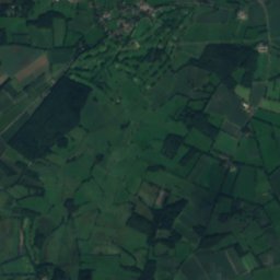
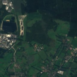
Satellite: Sentinel-2 cloudless 2016 by EOX IT Services GmbH · CC BY 4.0 · Contains modified Copernicus Sentinel data 2016
KrumbekRiver1.8 kmSKrumbek
Photo: Nightflyer (talk) 20:54, 17 May 2015 (UTC) · CC BY 3.0 · Wikimedia CommonsReport this photo · linked, not stored
ProphetenseeLake4.5 kmSProphetensee
Photo: Elsensee · CC BY-SA 3.0 · Wikimedia CommonsReport this photo · linked, not stored
Elsen-SeeLake5.5 kmSElsen-See
Photo: flamenc · CC BY-SA 3.0 · Wikimedia CommonsReport this photo · linked, not stored
KrambekRiver5.9 kmNEKrambek
Summits nearbyMountains of Germany
Photo: Karlderkahle · CC BY-SA 3.0 · Wikimedia CommonsReport this photo · linked, not stored
Baursberg23 km S92 mJuly 23°Baursberg
Photo: Vitavia · CC BY-SA 4.0 · Wikimedia CommonsReport this photo · linked, not stored
Müllberg Hummelsbüttel14 km SE79 mJuly 23°Müllberg Hummelsbüttel
Photo: Jan Peer Baumann · CC BY-SA 3.0 · Wikimedia CommonsReport this photo · linked, not stored
Süllberg24 km S75 mJuly 23°Süllberg
Photo: Ajepbah · CC BY-SA 3.0 · Wikimedia CommonsReport this photo · linked, not stored
Mellen-Berg23 km SE63 mJuly 23°Mellen-Berg
Photo: Ajepbah · CC BY-SA 3.0 · Wikimedia CommonsReport this photo · linked, not stored
Schüberg20 km SE63 mJuly 23°Schüberg
Stay nearby

Towns close by
Bilsen
Photo: flamenc · CC BY-SA 3.0 · Wikimedia CommonsReport this photo · linked, not stored

Bilsen

Schleswig-Holstein · 1.8 km NW
14°Oct high
13wet days
37score
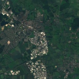
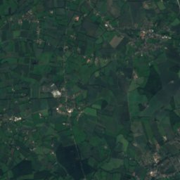
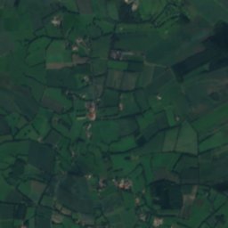
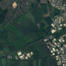
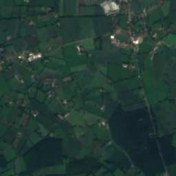
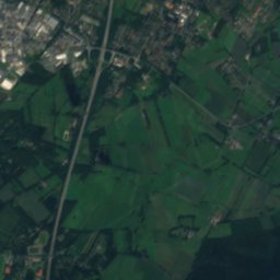
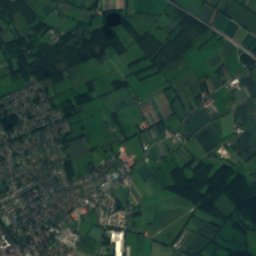
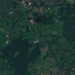
Bilsen
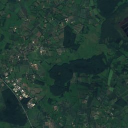
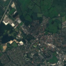
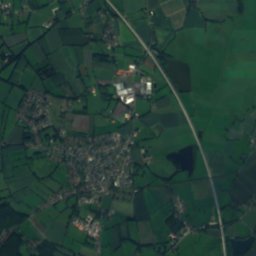
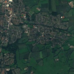
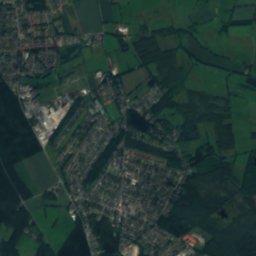
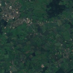
Satellite: Sentinel-2 cloudless 2016 by EOX IT Services GmbH · CC BY 4.0 · Contains modified Copernicus Sentinel data 2016

Ellerau

Schleswig-Holstein · 2.2 km SE
14°Oct high
13wet days
37score
Ellerau
Alveslohe
Photo: PodracerHH · CC BY-SA 3.0 · Wikimedia CommonsReport this photo · linked, not stored

Alveslohe

Schleswig-Holstein · 3.0 km N
14°Oct high
13wet days
37score
Alveslohe
Hemdingen
Photo: Huhu Uet · CC BY 3.0 · Wikimedia CommonsReport this photo · linked, not stored

Hemdingen

Schleswig-Holstein · 3.9 km W
14°Oct high
13wet days
37score
Hemdingen
Around here

Bilsen and around

Bilsen
Photo: flamenc · CC BY-SA 3.0 · Wikimedia CommonsReport this photo · linked, not stored

Bilsen

Schleswig-Holstein · Germany
May · Jul · Sepbest months
23°July high
23 maltitude
Bilsen

Nature

Alster, Schleswig-Holstein
Photo: Carsten Steger · CC BY-SA 4.0 · Wikimedia CommonsReport this photo · linked, not stored
8.5 km E

Alster, Schleswig-Holstein

River · 9 m
Alster, Schleswig-Holstein
Gronau, Schleswig-Holstein
Photo: flamenc · CC BY-SA 3.0 · Wikimedia CommonsReport this photo · linked, not stored
2.4 km SE

Gronau, Schleswig-Holstein

River
Gronau, Schleswig-Holstein
Bilsener Bek
Photo: flamenc · CC BY-SA 3.0 · Wikimedia CommonsReport this photo · linked, not stored
1.6 km E

Bilsener Bek

River · 15 m
Bilsener Bek

Mountains

Kiekeberg
Photo: Foto: Reinhard Kraasch, Lizenz: CC-BY-SA 4.0 DE · CC BY-SA 4.0 · Wikimedia CommonsReport this photo · linked, not stored
37 km S

Kiekeberg

127 m · Harburg Hills
Kiekeberg
Hasselbrack
Photo: TraceyR · CC BY-SA 3.0 · Wikimedia CommonsReport this photo · linked, not stored
38 km S

Hasselbrack

116 m · Harburg Hills
Hasselbrack
Baursberg
Photo: Karlderkahle · CC BY-SA 3.0 · Wikimedia CommonsReport this photo · linked, not stored
24 km S

Baursberg

92 m
Baursberg

Heritage

Tumuli in Hemdingen
Photo: Huhu Uet · CC BY-SA 3.0 · Wikimedia CommonsReport this photo · linked, not stored
1.4 km W

Tumuli in Hemdingen

Kulturdenkmal
Tumuli in Hemdingen
St. Jürgen, Norderstedt
Photo: Rmw73 · CC BY-SA 3.0 · Wikimedia CommonsReport this photo · linked, not stored
14 km SE

St. Jürgen, Norderstedt

Kulturdenkmal · 1939
St. Jürgen, Norderstedt
Rellinger Kirche
Photo: PodracerHH 17:46, 21 August 2006 (UTC) · CC BY-SA 3.0 · Wikimedia CommonsReport this photo · linked, not stored
14 km S

Rellinger Kirche

architectural heritage monument
Rellinger Kirche

Museums

Torfbahn Himmelmoor
Photo: Diema Dl Sechs · CC BY-SA 4.0 · Wikimedia CommonsReport this photo · linked, not stored
3.4 km S

Torfbahn Himmelmoor

Heritage railway
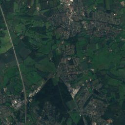
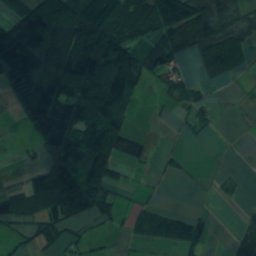
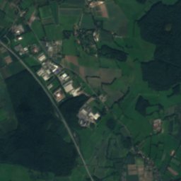
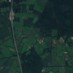
Torfbahn Himmelmoor
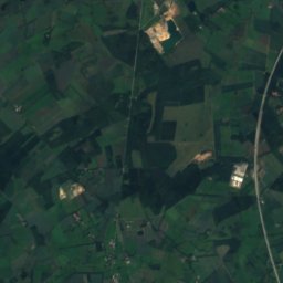
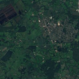
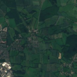
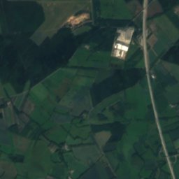
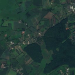
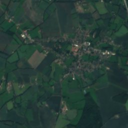
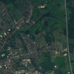
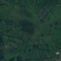
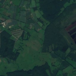
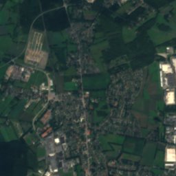
Satellite: Sentinel-2 cloudless 2016 by EOX IT Services GmbH · CC BY 4.0 · Contains modified Copernicus Sentinel data 2016
3.7 km SE

Karl-Rautenberg-Museum

Karl-Rautenberg-Museum
Museum der Grafschaft Rantzau
Photo: PodracerHH · CC BY-SA 3.0 · Wikimedia CommonsReport this photo · linked, not stored
7.7 km W

Museum der Grafschaft Rantzau

1910
Museum der Grafschaft Rantzau