Skip to content
Destinations
Weather & climate
Nature
Outdoors
Culture
Events
Sky & live
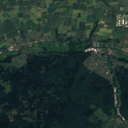
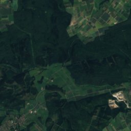
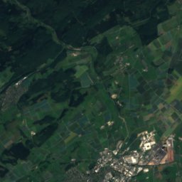
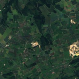
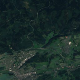
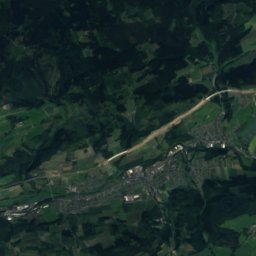
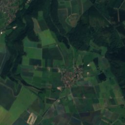
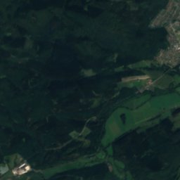
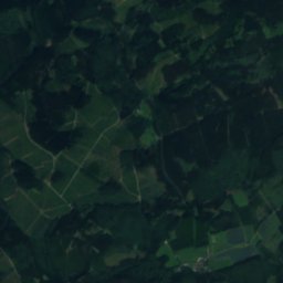
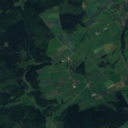
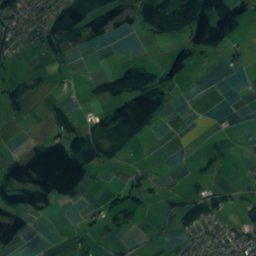
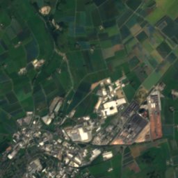
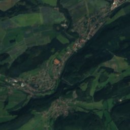
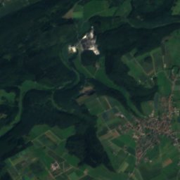
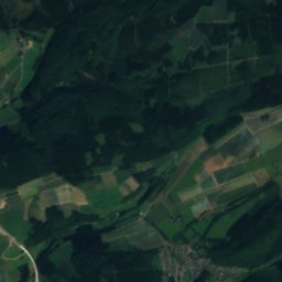
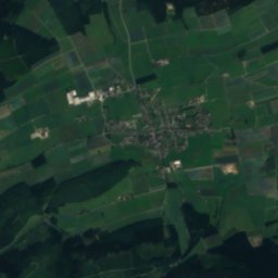
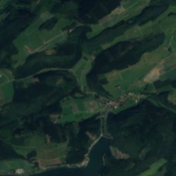
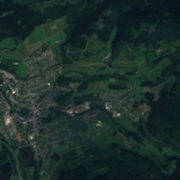
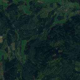
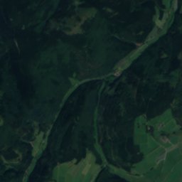
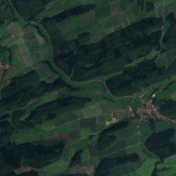
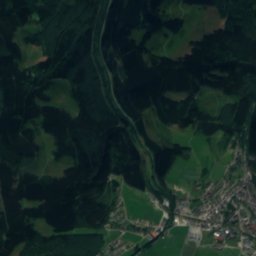
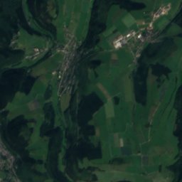
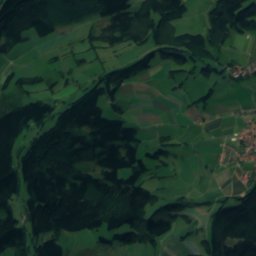
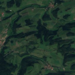
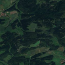
Satellite: Sentinel-2 cloudless 2016 by EOX IT Services GmbH · CC BY 4.0 · Contains modified Copernicus Sentinel data 2016
Bremecke, Hesse
Photo: Malchen53 · CC BY-SA 4.0 · Wikimedia Commons
Bremecke, HesseReport this photo · linked, not stored
Bremecke, Hesse
Itter (Diemel)
Photo: Presse03 · CC BY-SA 3.0 · Wikimedia Commons
Itter (Diemel)Report this photo · linked, not stored
Itter (Diemel)
Schmala
Photo: Malchen53 · CC BY-SA 3.0 · Wikimedia Commons
SchmalaReport this photo · linked, not stored
Schmala
Diemelsee
Photo: Nawi112 · CC BY-SA 3.0 · Wikimedia Commons
DiemelseeReport this photo · linked, not stored
Diemelsee
RiverHeringhausen, Hesse

Dommelbach

RiverBest Jun · Aug–Sep
Elevation–above sea level
Length4.9 kmsource to mouth
Nearest townHeringhausen5.8 km
51.35° N, 8.65° EUTC+1 · Central European Standard Time
When to goHeringhausen · weather score
JanFebMarAprMayJunJulAugSepOctNovDec33October
Best timeJun · Aug–Sep
October: high / low12° / 6°
River

Dommelbach in brief

Dommelbach is a river in Heringhausen, Hesse, Germany.

The nearest town is Heringhausen, 5.8 km to the E, where the weather is best in June, August and September.

Dommelbach is 4.9 km long.

Heringhausen: weather and travel guide

Weather nearby now

Forecast for Heringhausen
4°
Cloudy now
Wind5 km/h
Humidity99%
Cloud cover100%
Today
31 Oct
8°
3°
Sun
1 Nov
7°
3°
Mon
2 Nov
8°
2°
Tue
3 Nov
7°
3°
Wed
4 Nov
8°
3°

Model run 12:00 UTCRefreshed several times a day

When to go

The best months around Dommelbach

Climate of Heringhausen

Month score in Heringhausen

Comfort, dry days and sunshine · out of 100
14
Jan
19
Feb
19
Mar
44
Apr
59
May
64
Jun
63
Jul
64
Aug
67
Sep
33
Oct
13
Nov
12
Dec
Map

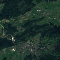
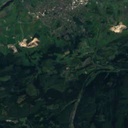
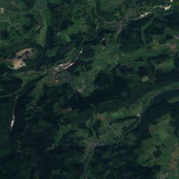
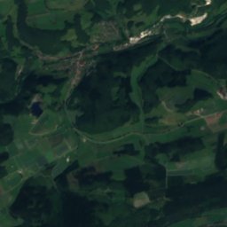
Dommelbach from above

Nature nearbyAll of Germany
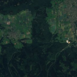
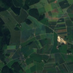
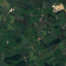
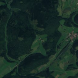
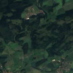
Satellite: Sentinel-2 cloudless 2016 by EOX IT Services GmbH · CC BY 4.0 · Contains modified Copernicus Sentinel data 2016
JückenhohlRiver2.9 kmWJückenhohl
Photo: Malchen53 · CC BY-SA 4.0 · Wikimedia CommonsReport this photo · linked, not stored
Bremecke, HesseRiver3.2 kmSWBremecke, Hesse
Photo: Presse03 · CC BY-SA 3.0 · Wikimedia CommonsReport this photo · linked, not stored
Itter (Diemel)River3.2 kmNEItter (Diemel)
Photo: Malchen53 · CC BY-SA 3.0 · Wikimedia CommonsReport this photo · linked, not stored
SchmalaRiver5.3 kmWSchmala
Photo: Nawi112 · CC BY-SA 3.0 · Wikimedia CommonsReport this photo · linked, not stored
DiemelseeLake5.5 kmNEDiemelsee
Photo: SteveK · CC BY-SA 3.0 · Wikimedia CommonsReport this photo · linked, not stored
UntreueRiver5.9 kmNUntreue
Summits nearbyMountains of Germany
Photo: Jörg Braukmann · CC BY-SA 4.0 · Wikimedia CommonsReport this photo · linked, not stored
Langenberg (Rothaar)10 km SW844 mJuly 19°Langenberg (Rothaar)
Photo: Sorpetaler07 · CC BY 3.0 · Wikimedia CommonsReport this photo · linked, not stored
Hegekopf9.6 km SW843 mJuly 19°Hegekopf
Photo: Teta · CC BY-SA 3.0 · Wikimedia CommonsReport this photo · linked, not stored
Kahler Asten22 km SW842 mJuly 19°Kahler Asten
Photo: Jörg Braukmann · CC BY-SA 4.0 · Wikimedia CommonsReport this photo · linked, not stored
Ettelsberg8.5 km SW838 mJuly 19°Ettelsberg
Photo: Schmidti 1977 18:07, 5. Aug. 2009 (CEST) · CC BY-SA 3.0 · Wikimedia CommonsReport this photo · linked, not stored
Clemensberg12 km SW837 mJuly 19°Clemensberg
Photo: Teta · CC BY-SA 3.0 · Wikimedia CommonsReport this photo · linked, not stored
Hopperkopf12 km S832 mJuly 19°Hopperkopf
Stay nearby

Towns close by

Heringhausen
Photo: Teta · CC BY-SA 3.0 · Wikimedia CommonsReport this photo · linked, not stored

Heringhausen

Hesse · 5.8 km E
12°Oct high
13wet days
33score
Heringhausen
Willingen
Photo: User: Celsius at wikivoyage shared · CC BY-SA 3.0 · Wikimedia CommonsReport this photo · linked, not stored

Willingen

Hesse · 6.5 km SW
11°Oct high
13wet days
25score
Willingen
Brilon
Photo: Michael Kramer · CC BY-SA 3.0 · Wikimedia CommonsReport this photo · linked, not stored

Brilon

North Rhine-Westphalia · 8.0 km NW
12°Oct high
13wet days
31score
Brilon
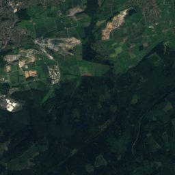
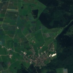
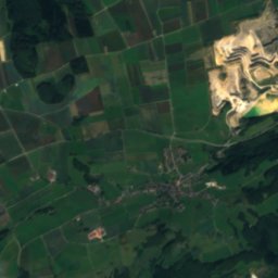
Satellite: Sentinel-2 cloudless 2016 by EOX IT Services GmbH · CC BY 4.0 · Contains modified Copernicus Sentinel data 2016

Altenbüren

North Rhine-Westphalia · 11 km NW
12°Oct high
13wet days
30score
Altenbüren
Around here

Heringhausen and around

Heringhausen
Photo: Teta · CC BY-SA 3.0 · Wikimedia CommonsReport this photo · linked, not stored

Heringhausen

Hesse · Germany
Jun · Aug–Sepbest months
22°July high
392 maltitude
Heringhausen

Nature

Diemelsee
Photo: Nawi112 · CC BY-SA 3.0 · Wikimedia CommonsReport this photo · linked, not stored
1.1 km NW

Diemelsee

Lake · 378 m
Diemelsee
Itter (Diemel)
Photo: Presse03 · CC BY-SA 3.0 · Wikimedia CommonsReport this photo · linked, not stored
3.2 km W

Itter (Diemel)

River
Itter (Diemel)
Rhene
Photo: SteveK · CC BY-SA 3.0 · Wikimedia CommonsReport this photo · linked, not stored
5.3 km NE

Rhene

River
Rhene

Mountains

Langenberg (Rothaar)
Photo: Jörg Braukmann · CC BY-SA 4.0 · Wikimedia CommonsReport this photo · linked, not stored
16 km SW

Langenberg (Rothaar)

844 m · Rothaar Mountains
Langenberg (Rothaar)
Hegekopf
Photo: Sorpetaler07 · CC BY 3.0 · Wikimedia CommonsReport this photo · linked, not stored
15 km SW

Hegekopf

843 m · Rothaar Mountains
Hegekopf
Kahler Asten
Photo: Teta · CC BY-SA 3.0 · Wikimedia CommonsReport this photo · linked, not stored
27 km SW

Kahler Asten

842 m · Rothaar Mountains
Kahler Asten

Heritage

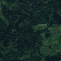
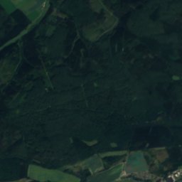
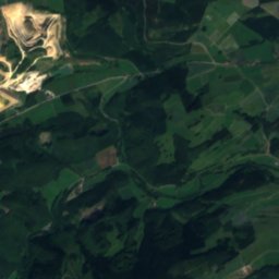
Satellite: Sentinel-2 cloudless 2016 by EOX IT Services GmbH · CC BY 4.0 · Contains modified Copernicus Sentinel data 2016
1.1 km NW

Diemelsee

architectural heritage monument in North Rhine-Westphalia · 1924
Diemelsee
St.-Barbara-Kirche (Heringhausen)
Photo: Malchen53 · CC BY-SA 3.0 · Wikimedia CommonsReport this photo · linked, not stored
0.3 km SW

St.-Barbara-Kirche (Heringhausen)

cultural heritage monument in Hesse
St.-Barbara-Kirche (Heringhausen)
St. Mary church, Heringhausen
Photo: kaʁstn Disk/Cat · CC BY-SA 3.0 de · Wikimedia CommonsReport this photo · linked, not stored
1.9 km N

St. Mary church, Heringhausen

architectural heritage monument
St. Mary church, Heringhausen

Museums

Curioseum
Photo: © Asio otus / Wikimedia Commons · CC BY-SA 3.0 · Wikimedia CommonsReport this photo · linked, not stored
10 km S

Curioseum

Transport museum
Curioseum
Kilianstollen Marsberg
Photo: Asio otus · CC BY-SA 3.0 · Wikimedia CommonsReport this photo · linked, not stored
13 km NE

Kilianstollen Marsberg

Show mine
Kilianstollen Marsberg
Heimatmuseum der Stadt Marsberg
Photo: G.Nockemann · CC BY-SA 3.0 · Wikimedia CommonsReport this photo · linked, not stored
14 km NE

Heimatmuseum der Stadt Marsberg

Local museum
Heimatmuseum der Stadt Marsberg