Skip to content
Destinations
Weather & climate
Nature
Outdoors
Culture
Events
Sky & live
Ditz
Photo: Dr. Eugen Lehle · CC BY-SA 3.0 · Wikimedia Commons
DitzReport this photo · linked, not stored
Hollbach, Baden-Wurttemberg
Photo: Quahadi Añtó 20:52, 16 November 2016 (UTC) · CC BY-SA 4.0 · Wikimedia Commons
Hollbach, Baden-WurttembergReport this photo · linked, not stored
Hollbach, Baden-Wurttemberg
Gos
Photo: Dr. Eugen Lehle · CC BY-SA 3.0 · Wikimedia Commons
GosReport this photo · linked, not stored
Gos
Schertelshöhle
Photo: Franzfoto · CC BY-SA 3.0 · Wikimedia Commons
SchertelshöhleReport this photo · linked, not stored
Schertelshöhle
Rohrach, Baden-Wurttemberg
Photo: Dr. Eugen Lehle · CC BY-SA 3.0 · Wikimedia Commons
Rohrach, Baden-WurttembergReport this photo · linked, not stored
Rohrach, Baden-Wurttemberg
RiverBad Ditzenbach, Baden-Wurttemberg

Ditz

RiverBest Jul–Sep
Elevation–above sea level
Length2.0 kmsource to mouth
Nearest townBad Ditzenbachunder 100 m
48.59° N, 9.70° EUTC+2 · Central European Summer Time
When to goBad Ditzenbach · weather score
JanFebMarAprMayJunJulAugSepOctNovDec42October
Best timeJul–Sep
October: high / low14° / 5°
River

Ditz in brief

Ditz is a river in Bad Ditzenbach, Baden-Wurttemberg, Germany.

The nearest town is Bad Ditzenbach, under 100 m to the NE, where the weather is best in July, August and September.

Ditz is 2.0 km long.

Bad Ditzenbach: weather and travel guide

Weather nearby now

Forecast for Bad Ditzenbach
4°
Partly cloudy now
Wind23 km/h
Humidity86%
Cloud cover53%
Today
24 Oct
8°
3°
1 mm
Sun
25 Oct
11°
5°
16 mm
Mon
26 Oct
11°
4°
Tue
27 Oct
17°
7°
Wed
28 Oct
12°
5°
1 mm

Model run 12:00 UTCRefreshed several times a day

When to go

The best months around Ditz

Climate of Bad Ditzenbach

Month score in Bad Ditzenbach

Comfort, dry days and sunshine · out of 100
17
Jan
24
Feb
24
Mar
50
Apr
62
May
63
Jun
65
Jul
65
Aug
72
Sep
42
Oct
22
Nov
15
Dec
Map

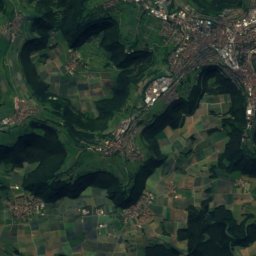
Ditz from above

Nature nearbyAll of Germany
Photo: Quahadi Añtó 20:52, 16 November 2016 (UTC) · CC BY-SA 4.0 · Wikimedia CommonsReport this photo · linked, not stored
Hollbach, Baden-WurttembergRiver2.7 kmWHollbach, Baden-Wurttemberg
Photo: Dr. Eugen Lehle · CC BY-SA 3.0 · Wikimedia CommonsReport this photo · linked, not stored
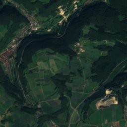
GosRiver4.8 kmSWGos
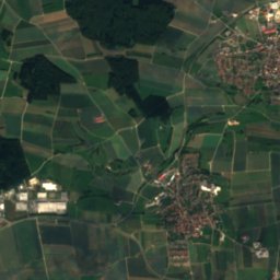
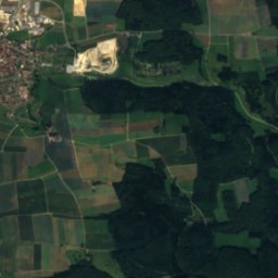
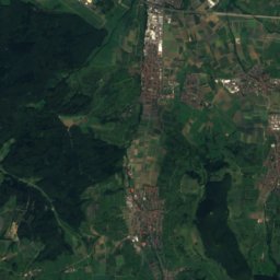
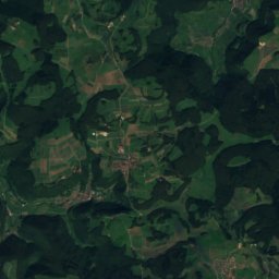
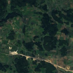
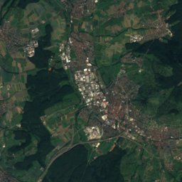
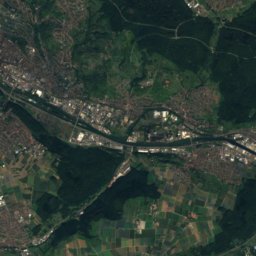
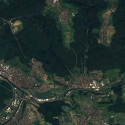
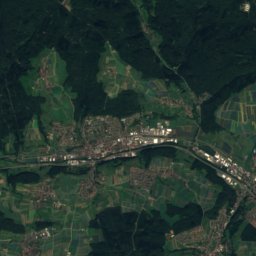
Satellite: Sentinel-2 cloudless 2016 by EOX IT Services GmbH · CC BY 4.0 · Contains modified Copernicus Sentinel data 2016
KirschbaumhöhleCave8.3 kmSEKirschbaumhöhle
Photo: Franzfoto · CC BY-SA 3.0 · Wikimedia CommonsReport this photo · linked, not stored
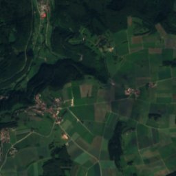
SchertelshöhleCave10 kmSWSchertelshöhle
Photo: Dr. Eugen Lehle · CC BY-SA 3.0 · Wikimedia CommonsReport this photo · linked, not stored
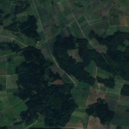
Rohrach, Baden-WurttembergRiver11 kmNERohrach, Baden-Wurttemberg
Photo: Zeitblom1 · Public domain · Wikimedia CommonsReport this photo · linked, not stored
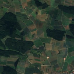
Neidlinger WasserfallWaterfall11 kmWNeidlinger Wasserfall
Summits nearbyMountains of Germany
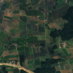
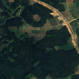
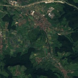
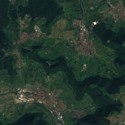
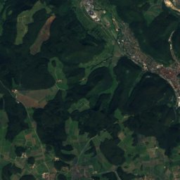
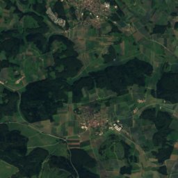
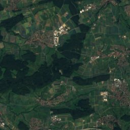
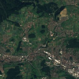
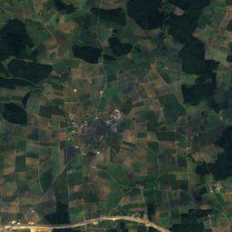
Satellite: Sentinel-2 cloudless 2016 by EOX IT Services GmbH · CC BY 4.0 · Contains modified Copernicus Sentinel data 2016
Römerstein (mountain)15 km SW874 mJuly 21°Römerstein (mountain)
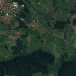
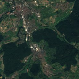
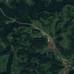
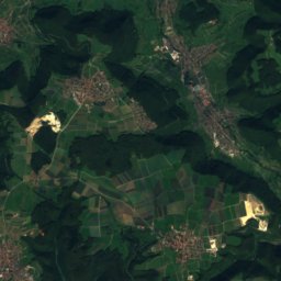
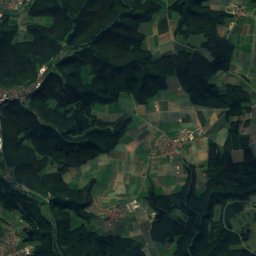
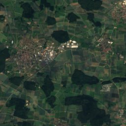
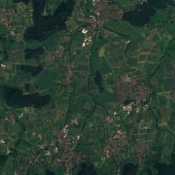
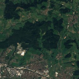
Satellite: Sentinel-2 cloudless 2016 by EOX IT Services GmbH · CC BY 4.0 · Contains modified Copernicus Sentinel data 2016
Breitenstein (Swabian Jura)15 km W811 mJuly 22°Breitenstein (Swabian Jura)
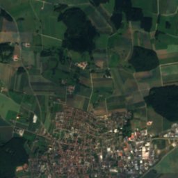
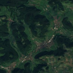
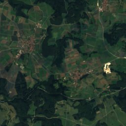
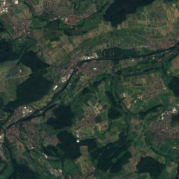
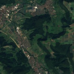
Satellite: Sentinel-2 cloudless 2016 by EOX IT Services GmbH · CC BY 4.0 · Contains modified Copernicus Sentinel data 2016
Boßler8.2 km W800 mJuly 22°Boßler
Photo: Barockspot · CC BY-SA 4.0 · Wikimedia CommonsReport this photo · linked, not stored
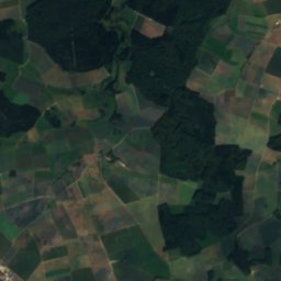
Randecker Maar13 km W783 mJuly 22°Randecker Maar
Photo: CatalpaSpirit · CC BY-SA 4.0 · Wikimedia CommonsReport this photo · linked, not stored
Kornberg6.3 km NW779 mJuly 22°Kornberg
Photo: Kreuzschnabel · CC BY-SA 3.0 · Wikimedia CommonsReport this photo · linked, not stored
Bernhardus23 km NE779 mJuly 23°Bernhardus
Stay nearby

Towns close by

Bad Ditzenbach
Photo: Franzfoto · CC BY-SA 3.0 · Wikimedia CommonsReport this photo · linked, not stored

Bad Ditzenbach

Baden-Wurttemberg · under 100 m NE
14°Oct high
12wet days
42score
Bad Ditzenbach
Deggingen
Photo: Dr. Eugen Lehle · CC BY-SA 3.0 · Wikimedia CommonsReport this photo · linked, not stored

Deggingen

Baden-Wurttemberg · 1.6 km NE
14°Oct high
12wet days
42score
Deggingen
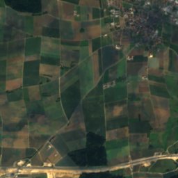
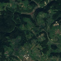
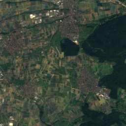
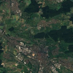
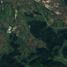
Satellite: Sentinel-2 cloudless 2016 by EOX IT Services GmbH · CC BY 4.0 · Contains modified Copernicus Sentinel data 2016

Mühlhausen

Baden-Wurttemberg · 3.6 km W
13°Oct high
12wet days
40score
Mühlhausen
Gruibingen
Photo: Dr. Eugen Lehle · CC BY-SA 3.0 · Wikimedia CommonsReport this photo · linked, not stored

Gruibingen

Baden-Wurttemberg · 4.4 km W
13°Oct high
12wet days
40score
Gruibingen
Around here

Bad Ditzenbach and around

Bad Ditzenbach
Photo: Franzfoto · CC BY-SA 3.0 · Wikimedia CommonsReport this photo · linked, not stored

Bad Ditzenbach

Baden-Wurttemberg · Germany
Jul–Sepbest months
24°July high
504 maltitude
Bad Ditzenbach

Nature

Lauter (Fils)
Photo: Dr. Eugen Lehle · CC BY-SA 3.0 · Wikimedia CommonsReport this photo · linked, not stored
11 km NE

Lauter (Fils)

River
Lauter (Fils)
Rohrach, Baden-Wurttemberg
Photo: Dr. Eugen Lehle · CC BY-SA 3.0 · Wikimedia CommonsReport this photo · linked, not stored
11 km NE

Rohrach, Baden-Wurttemberg

River
Rohrach, Baden-Wurttemberg
Gos
Photo: Dr. Eugen Lehle · CC BY-SA 3.0 · Wikimedia CommonsReport this photo · linked, not stored
4.8 km SW

Gos

River
Gos

Mountains

Satellite: Sentinel-2 cloudless 2016 by EOX IT Services GmbH · CC BY 4.0 · Contains modified Copernicus Sentinel data 2016
15 km SW

Römerstein (mountain)

874 m · Swabian Jura
Römerstein (mountain)
Sternberg (Gomadingen)
Photo: Muck · CC BY-SA 4.0 · Wikimedia CommonsReport this photo · linked, not stored
32 km SW

Sternberg (Gomadingen)

844 m · Swabian Jura
Sternberg (Gomadingen)
Hohe Warte (Swabian Jura)
Photo: Ssch · CC BY-SA 3.0 · Wikimedia CommonsReport this photo · linked, not stored
29 km W

Hohe Warte (Swabian Jura)

821 m · Swabian Jura
Hohe Warte (Swabian Jura)

Heritage

Hiltenburg
Photo: jost77 · CC BY-SA 3.0 · Wikimedia CommonsReport this photo · linked, not stored
1.0 km S

Hiltenburg

Kulturdenkmal · 1289
Hiltenburg
Katholische Heilig-Kreuz-Kirche
Photo: Quahadi Añtó 21:25, 15 November 2016 (UTC) · CC BY-SA 4.0 · Wikimedia CommonsReport this photo · linked, not stored
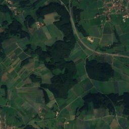
1.5 km NE

Katholische Heilig-Kreuz-Kirche

cultural heritage monument in Baden-Württemberg
Katholische Heilig-Kreuz-Kirche
Satellite: Sentinel-2 cloudless 2016 by EOX IT Services GmbH · CC BY 4.0 · Contains modified Copernicus Sentinel data 2016
2.7 km E

Ave Maria

cultural heritage monument in Baden-Württemberg
Ave Maria

Museums

Heimatmuseum Nellingen
Photo: Dr. Eugen Lehle · CC BY-SA 3.0 · Wikimedia CommonsReport this photo · linked, not stored
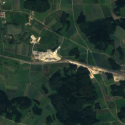
8.2 km SE

Heimatmuseum Nellingen

Local museum · 1975
Heimatmuseum Nellingen
Jüdisches Museum Göppingen
Photo: Don-kun · CC BY-SA 4.0 · Wikimedia CommonsReport this photo · linked, not stored
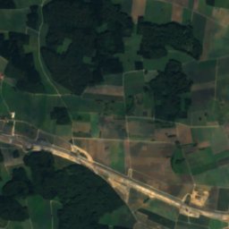
12 km NW

Jüdisches Museum Göppingen

Jewish museum
Jüdisches Museum Göppingen
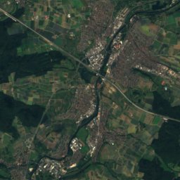
Satellite: Sentinel-2 cloudless 2016 by EOX IT Services GmbH · CC BY 4.0 · Contains modified Copernicus Sentinel data 2016
14 km W

Urwelt-Museum Hauff

1936
Urwelt-Museum Hauff