Skip to content
Destinations
Weather & climate
Nature
Outdoors
Culture
Events
Sky & live
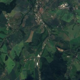
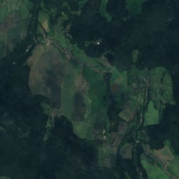
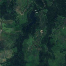
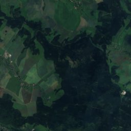
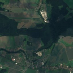
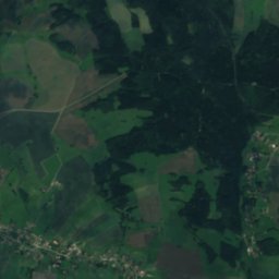
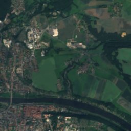
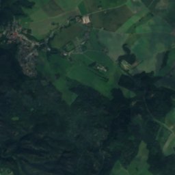
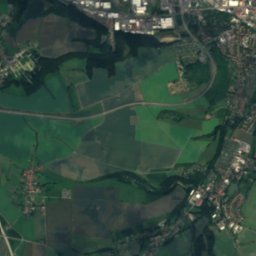
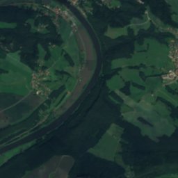
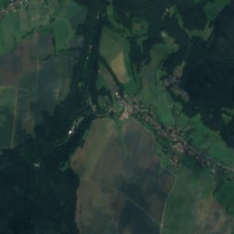
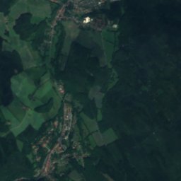
Satellite: Sentinel-2 cloudless 2016 by EOX IT Services GmbH · CC BY 4.0 · Contains modified Copernicus Sentinel data 2016
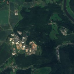
Biela
Photo: Michael Fiegle · CC BY-SA 3.0 · Wikimedia Commons
BielaReport this photo · linked, not stored
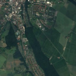
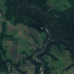
Biela
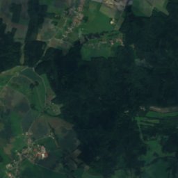
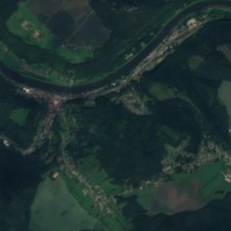
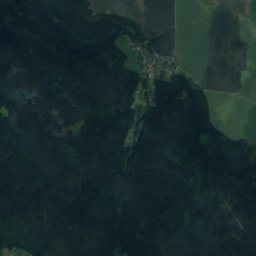
Lachsbach
Photo: Lysippos · CC BY-SA 3.0 · Wikimedia Commons
LachsbachReport this photo · linked, not stored
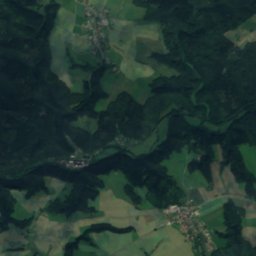
Lachsbach
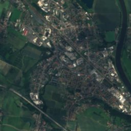
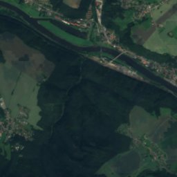
Vehmhöhle
Photo: Lukas Beck · CC BY-SA 4.0 · Wikimedia Commons
VehmhöhleReport this photo · linked, not stored
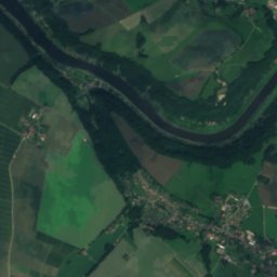
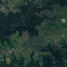
Vehmhöhle
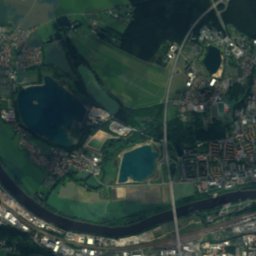
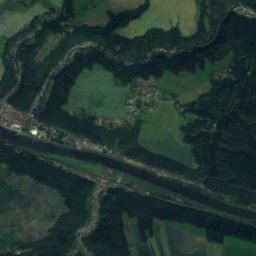
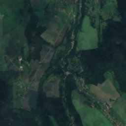
Polenz
Photo: Queryzo · CC BY-SA 3.0 · Wikimedia Commons
PolenzReport this photo · linked, not stored
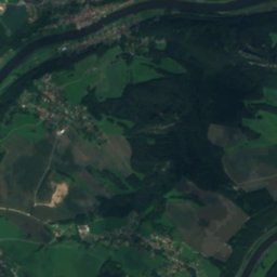
Polenz
CaveKönigstein, Saxony

Diebskeller

Cave336 m elevationBest May · Aug–Sep
Elevation336 mabove sea level
Inside8°Call year
Nearest townKönigstein0.9 km
50.91° N, 14.06° EElevation 336 mUTC+1 · Central European Standard Time
When to goKönigstein · weather score
JanFebMarAprMayJunJulAugSepOctNovDec44October
Best timeMay · Aug–Sep
October: high / low14° / 6°
Cave

Diebskeller in brief

Diebskeller is a cave in Königstein, Saxony, Germany.

It lies at 336 m above sea level.

The nearest town is Königstein, 0.9 km to the NE, where the weather is best in May, August and September.

Inside, a cave stays close to the average yearly air temperature outside: about 8°C all year.

Königstein: weather and travel guide

Weather nearby now

Forecast for Königstein
6°
Cloudy now
Wind12 km/h
Humidity86%
Cloud cover100%
Today
27 Oct
13°
3°
Wed
28 Oct
11°
3°
2 mm
Thu
29 Oct
12°
3°
Fri
30 Oct
12°
6°
Sat
31 Oct
12°
4°

Model run 12:00 UTCRefreshed several times a day

When to go

The best months around Diebskeller

Climate of Königstein

Month score in Königstein

Comfort, dry days and sunshine · out of 100
16
Jan
24
Feb
22
Mar
59
Apr
64
May
63
Jun
64
Jul
68
Aug
70
Sep
44
Oct
23
Nov
16
Dec
Map

Diebskeller from above

Nature nearbyAll of Germany
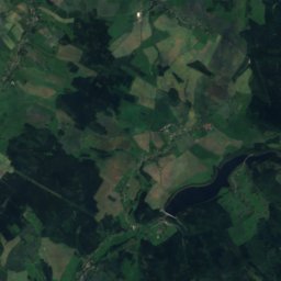
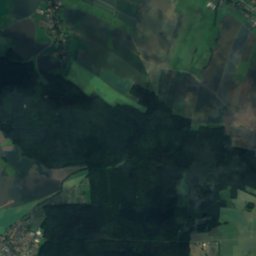
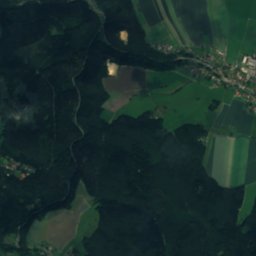
Satellite: Sentinel-2 cloudless 2016 by EOX IT Services GmbH · CC BY 4.0 · Contains modified Copernicus Sentinel data 2016
Cunnersdorfer BachRiver0.8 kmSCunnersdorfer Bach
Photo: Michael Fiegle · CC BY-SA 3.0 · Wikimedia CommonsReport this photo · linked, not stored
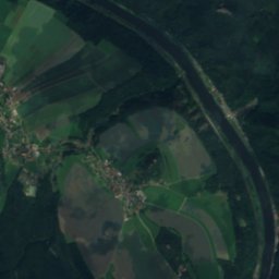
BielaRiver1.4 kmNEBiela
Photo: Lysippos · CC BY-SA 3.0 · Wikimedia CommonsReport this photo · linked, not stored
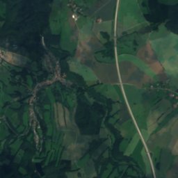
LachsbachRiver4.9 kmELachsbach
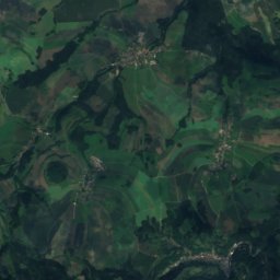
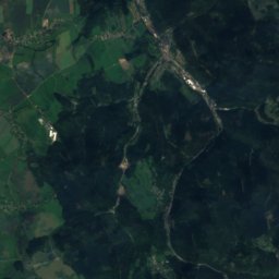
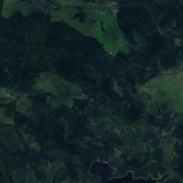
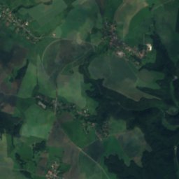
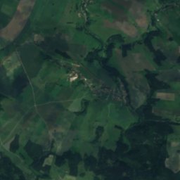
Satellite: Sentinel-2 cloudless 2016 by EOX IT Services GmbH · CC BY 4.0 · Contains modified Copernicus Sentinel data 2016
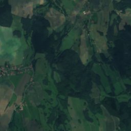
Langenhennersdorfer WasserfallWaterfall5.2 kmWLangenhennersdorfer Wasserfall
Photo: Lukas Beck · CC BY-SA 4.0 · Wikimedia CommonsReport this photo · linked, not stored
VehmhöhleCave6.0 kmNVehmhöhle
Photo: Queryzo · CC BY-SA 3.0 · Wikimedia CommonsReport this photo · linked, not stored
PolenzRiver6.3 kmNEPolenz
Summits nearbyMountains of Germany
Photo: Olaf1541 · CC BY 2.5 · Wikimedia CommonsReport this photo · linked, not stored
Děčínský Sněžník13 km S724 mJuly 21°Děčínský Sněžník
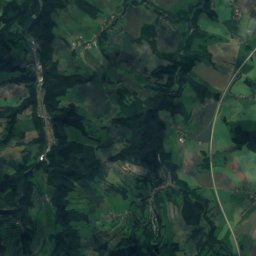
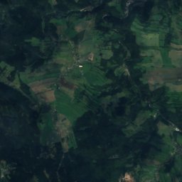
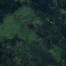
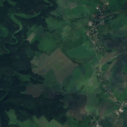
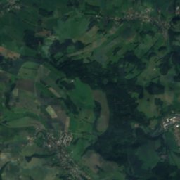
Satellite: Sentinel-2 cloudless 2016 by EOX IT Services GmbH · CC BY 4.0 · Contains modified Copernicus Sentinel data 2016
Spičák17 km SW723 mJuly 21°Spičák
Photo: Norbert Kaiser · CC BY-SA 2.5 · Wikimedia CommonsReport this photo · linked, not stored
Nakléřovská výšina19 km S704 mJuly 21°Nakléřovská výšina
Photo: Mars 2002 · CC BY-SA 3.0 · Wikimedia CommonsReport this photo · linked, not stored
Růžovský vrch21 km SE620 mJuly 23°Růžovský vrch
Photo: Maoman · CC BY-SA 4.0 · Wikimedia CommonsReport this photo · linked, not stored
Javorský vrch20 km S617 mJuly 22°Javorský vrch
Photo: Gumideck · CC BY-SA 4.0 · Wikimedia CommonsReport this photo · linked, not stored
Tanečnice, Ústí nad Labem Region19 km E599 mJuly 22°Tanečnice, Ústí nad Labem Region
Stay nearby

Towns close by

Königstein
Photo: Henry Mühlpfordt · CC BY-SA 3.0 · Wikimedia CommonsReport this photo · linked, not stored

Königstein

Saxony · 0.9 km NE
14°Oct high
11wet days
44score
Königstein
Gohrisch
Photo: User: Celsius at wikivoyage shared · CC BY-SA 3.0 · Wikimedia CommonsReport this photo · linked, not stored

Gohrisch

Saxony · 3.0 km E
13°Oct high
11wet days
42score
Gohrisch
Struppen
Photo: ProfessorX · CC BY-SA 3.0 · Wikimedia CommonsReport this photo · linked, not stored

Struppen

Saxony · 4.3 km NW
14°Oct high
11wet days
44score
Struppen
Porschdorf
Photo: Jörg Blobelt · CC BY-SA 4.0 · Wikimedia CommonsReport this photo · linked, not stored

Porschdorf

Saxony · 5.7 km NE
13°Oct high
11wet days
44score
Porschdorf
Around here

Königstein and around

Königstein
Photo: Henry Mühlpfordt · CC BY-SA 3.0 · Wikimedia CommonsReport this photo · linked, not stored

Königstein

Saxony · Germany
May · Aug–Sepbest months
25°July high
127 maltitude
Königstein

Nature

Biela
Photo: Michael Fiegle · CC BY-SA 3.0 · Wikimedia CommonsReport this photo · linked, not stored
0.5 km NE

Biela

River · 133 m
Biela
Gottleuba
Photo: Marie Čcheidzeová · CC BY-SA 4.0 · Wikimedia CommonsReport this photo · linked, not stored
12 km NW

Gottleuba

River
Gottleuba
Polenz
Photo: Queryzo · CC BY-SA 3.0 · Wikimedia CommonsReport this photo · linked, not stored
5.4 km NE

Polenz

River
Polenz

Mountains

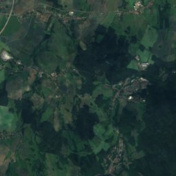
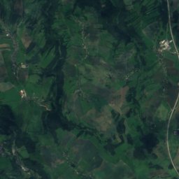
Satellite: Sentinel-2 cloudless 2016 by EOX IT Services GmbH · CC BY 4.0 · Contains modified Copernicus Sentinel data 2016
34 km SW

Pramenáč

910 m · Ore Mountains
Pramenáč
Kahleberg
Photo: Norbert Kaiser · CC BY-SA 2.5 · Wikimedia CommonsReport this photo · linked, not stored
30 km SW

Kahleberg

905 m · Ore Mountains
Kahleberg
Bouřňák
Photo: X-Weinzar · CC BY-SA 2.5 · Wikimedia CommonsReport this photo · linked, not stored
36 km SW

Bouřňák

869 m · Ore Mountains
Bouřňák

Heritage

City Church St. Mary in Königstein
Photo: A.Savin · FAL · Wikimedia CommonsReport this photo · linked, not stored
0.3 km N

City Church St. Mary in Königstein

heritage monument in Saxony · 1720
City Church St. Mary in Königstein
Königstein Fortress
Photo: A.Savin · FAL · Wikimedia CommonsReport this photo · linked, not stored
1.0 km W

Königstein Fortress

heritage monument in Saxony
Königstein Fortress
Aussichtsturm Pfaffenstein
Photo: Norbert Kaiser · CC BY-SA 3.0 · Wikimedia CommonsReport this photo · linked, not stored
1.9 km S

Aussichtsturm Pfaffenstein

heritage monument in Saxony · 1904
Aussichtsturm Pfaffenstein

Museums

Altes Zeughaus
Photo: Rigorius · CC BY-SA 4.0 · Wikimedia CommonsReport this photo · linked, not stored
1.1 km W

Altes Zeughaus

1594
Altes Zeughaus
Neues Zeughaus
Photo: Kora27 · CC BY-SA 4.0 · Wikimedia CommonsReport this photo · linked, not stored
1.1 km NW

Neues Zeughaus

1631
Neues Zeughaus
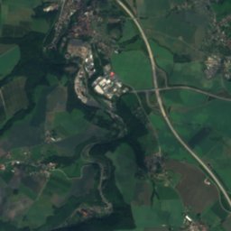
Satellite: Sentinel-2 cloudless 2016 by EOX IT Services GmbH · CC BY 4.0 · Contains modified Copernicus Sentinel data 2016
1.2 km E

Militärhistorisches Museum Dresden+Ständige Ausstellungen der Festung Königstein

Militärhistorisches Museum Dresden+Ständige Ausstellungen der Festung Königstein