

Photo: Steinbach · Public domain · Wikimedia Commons
Oude Rijn, GelderlandReport this photo · linked, not stored
Oude Rijn, GelderlandOude Rijn, GelderlandReport this photo · linked, not stored

Photo: © Günter Seggebäing, CC BY-SA 3.0 · CC BY-SA 3.0 · Wikimedia Commons
SchlingeReport this photo · linked, not stored
SchlingeSchlingeReport this photo · linked, not stored

Photo: p.welters · CC BY 3.0 · Wikimedia Commons
Signaal ImboschReport this photo · linked, not stored
Signaal ImboschSignaal ImboschReport this photo · linked, not stored
 Posbank
RiverElten, North Rhine-Westphalia
Die Wild
RiverBest May–Jun · Sep
Elevation–above sea level
Area–surface
Nearest townElten0.9 km
51.87° N, 6.15° EUTC+2 · Central European Summer Time
When to goElten · weather score
Best timeMay–Jun · Sep
October: high / low15° / 7°
River
Die Wild in brief
Die Wild is a river in Elten, North Rhine-Westphalia, Germany.
The nearest town in the atlas is Elten, 0.9 km to the NE, where the weather is best in May, June and September.
Weather nearby now
Forecast for Elten10°
Rain now
Today
23 Oct
15°
8°
16 mm
Sat
24 Oct
13°
8°
9 mm
Sun
25 Oct
13°
8°
17 mm
Mon
26 Oct
13°
8°
1 mm
Tue
27 Oct
17°
10°
3 mm
Model run 12:00 UTCRefreshed several times a day
When to go
Climate of EltenThe best months around Die Wild
Month score in Elten
Comfort, dry days and sunshine · out of 10015
Jan
21
Feb
26
Mar
57
Apr
66
May
66
Jun
64
Jul
64
Aug
68
Sep
48
Oct
17
Nov
15
Dec
Map
Die Wild from above
Nature nearbyAll of Germany
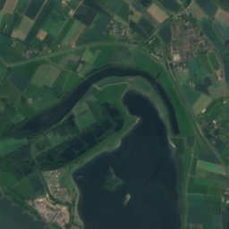
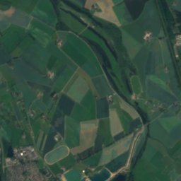
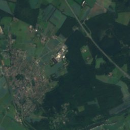
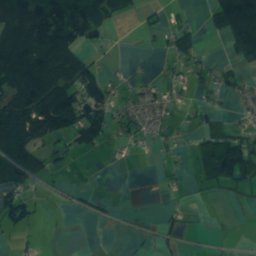
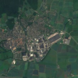
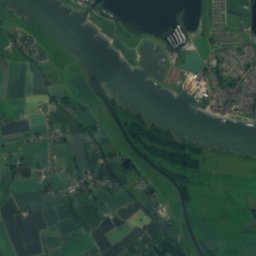
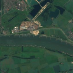
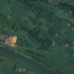
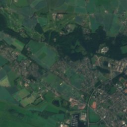
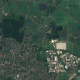
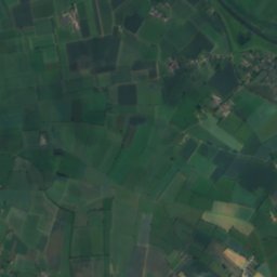
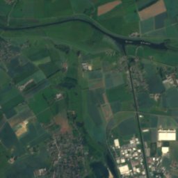
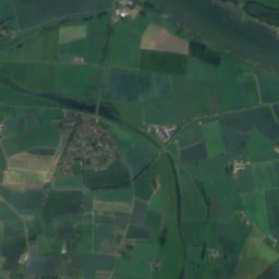
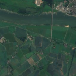
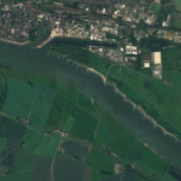
Satellite: Sentinel-2 cloudless 2016 by EOX IT Services GmbH · CC BY 4.0 · Contains modified Copernicus Sentinel data 2016
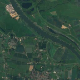
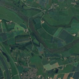
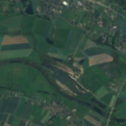
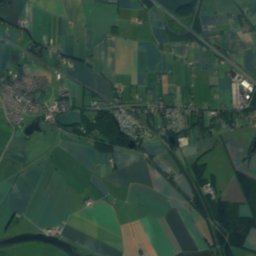
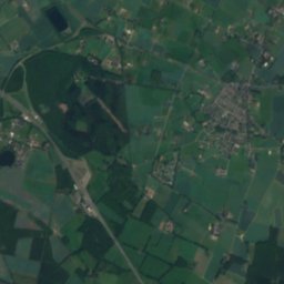
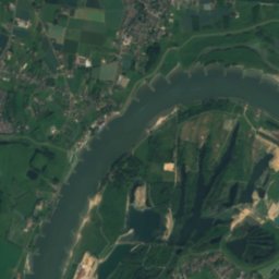
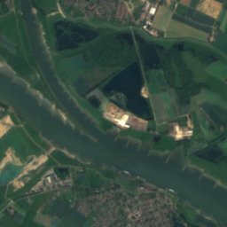
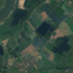
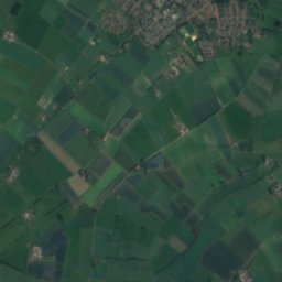
Satellite: Sentinel-2 cloudless 2016 by EOX IT Services GmbH · CC BY 4.0 · Contains modified Copernicus Sentinel data 2016
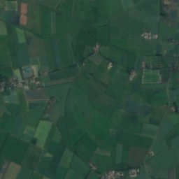
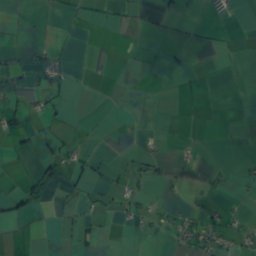
Satellite: Sentinel-2 cloudless 2016 by EOX IT Services GmbH · CC BY 4.0 · Contains modified Copernicus Sentinel data 2016
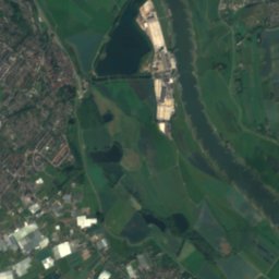
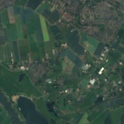
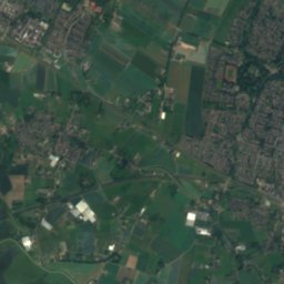
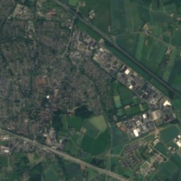
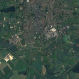
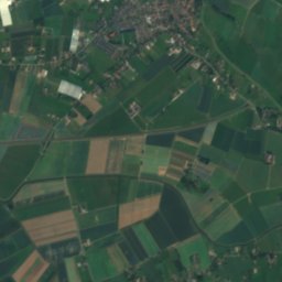
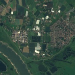
Satellite: Sentinel-2 cloudless 2016 by EOX IT Services GmbH · CC BY 4.0 · Contains modified Copernicus Sentinel data 2016


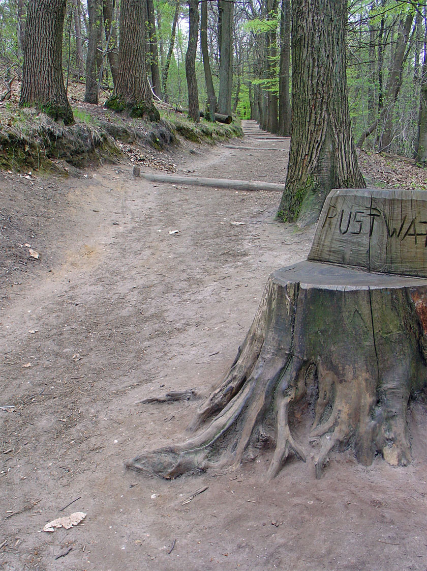
Photo: © Günter Seggebäing, CC BY-SA 3.0 · CC BY-SA 3.0 · Wikimedia CommonsReport this photo · linked, not stored
Summits nearbyMountains of Germany


Stay nearby
Towns close by

Photo: Vincent de Groot - http://www.videgro.net · CC BY-SA 4.0 · Wikimedia CommonsReport this photo · linked, not stored
Elten
North Rhine-Westphalia · 0.9 km NE
15°Oct high
12wet days
48score


Photo: Rijksdienst voor het Cultureel Erfgoed · CC BY-SA 4.0 · Wikimedia CommonsReport this photo · linked, not stored
Tolkamer
Gelderland · 3.5 km W
15°Oct high
12wet days
48score
Around here
Elten and around
Photo: Vincent de Groot - http://www.videgro.net · CC BY-SA 4.0 · Wikimedia CommonsReport this photo · linked, not stored
Elten
North Rhine-Westphalia · Germany
May–Jun · Sepbest months
24°July high
22 maltitude
Nature
Satellite: Sentinel-2 cloudless 2016 by EOX IT Services GmbH · CC BY 4.0 · Contains modified Copernicus Sentinel data 2016
Griethauser Altrhein
River
Satellite: Sentinel-2 cloudless 2016 by EOX IT Services GmbH · CC BY 4.0 · Contains modified Copernicus Sentinel data 2016
De Bijland
Lake · 9 m
Mountains
Heritage


Museums

Photo: perlblau at German Wikipedia · CC BY-SA 3.0 · Wikimedia CommonsReport this photo · linked, not stored

Museum Kurhaus Kleve
Art museum · 1997


Erfgoedcentrum Achterhoek en Liemers
Heritage centre · 2011

Photo: © Raimond Spekking / CC BY-SA 4.0 (via Wikimedia Commons) · CC BY-SA 4.0 · Wikimedia CommonsReport this photo · linked, not stored

Rheinmuseum Emmerich
Maritime museum · 1964