Skip to content
Destinations
Weather & climate
Nature
Outdoors
Culture
Events
Sky & live
devils cave
Photo: Michael Wolf, Penig · CC BY-SA 3.0 · Wikimedia Commons
devils caveReport this photo · linked, not stored
Mülsenbach
Photo: Aagnverglaser · CC BY-SA 4.0 · Wikimedia Commons
MülsenbachReport this photo · linked, not stored
Mülsenbach
Stausee Glauchau
Photo: Klaus Schiewe · CC BY-SA 3.0 · Wikimedia Commons
Stausee GlauchauReport this photo · linked, not stored
Stausee Glauchau
Talsperre Koberbach
Photo: Je-str · CC BY 3.0 · Wikimedia Commons
Talsperre KoberbachReport this photo · linked, not stored
Talsperre Koberbach
Lungwitzbach
Photo: Jwaller · CC BY-SA 3.0 · Wikimedia Commons
LungwitzbachReport this photo · linked, not stored
Lungwitzbach
CavePonitz, Thuringia

devils cave

CaveBest Jun · Aug–Sep
Elevation–above sea level
Inside10°Call year
Nearest townPonitz1.9 km
50.84° N, 12.41° EUTC+2 · Central European Summer Time
When to goPonitz · weather score
JanFebMarAprMayJunJulAugSepOctNovDec51October
Best timeJun · Aug–Sep
October: high / low14° / 6°
Cave

devils cave in brief

devils cave is a cave in Ponitz, Thuringia, Germany.

The nearest town in the atlas is Ponitz, 1.9 km to the NE, where the weather is best in June, August and September.

Inside, a cave stays close to the average yearly air temperature outside: about 10°C all year.

Ponitz: weather and travel guide

Weather nearby now

Forecast for Ponitz
9°
Cloudy now
Wind16 km/h
Humidity68%
Cloud cover73%
Today
22 Oct
12°
6°
1 mm
Fri
23 Oct
15°
6°
Sat
24 Oct
10°
5°
4 mm
Sun
25 Oct
13°
6°
9 mm
Mon
26 Oct
13°
7°

Model run 00:00 UTCRefreshed several times a day

When to go

The best months around devils cave

Climate of Ponitz

Month score in Ponitz

Comfort, dry days and sunshine · out of 100
17
Jan
27
Feb
24
Mar
60
Apr
65
May
66
Jun
64
Jul
68
Aug
72
Sep
51
Oct
23
Nov
16
Dec
Map

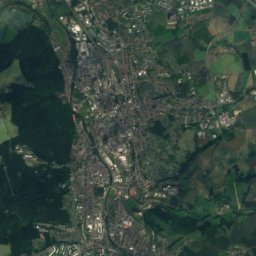
devils cave from above

Nature nearbyAll of Germany
Photo: Aagnverglaser · CC BY-SA 4.0 · Wikimedia CommonsReport this photo · linked, not stored
MülsenbachRiver8.4 kmSEMülsenbach
Photo: Klaus Schiewe · CC BY-SA 3.0 · Wikimedia CommonsReport this photo · linked, not stored
Stausee GlauchauLake8.5 kmSEStausee Glauchau
Photo: Je-str · CC BY 3.0 · Wikimedia CommonsReport this photo · linked, not stored
Talsperre KoberbachLake8.8 kmSWTalsperre Koberbach
Photo: Jwaller · CC BY-SA 3.0 · Wikimedia CommonsReport this photo · linked, not stored
LungwitzbachRiver9.8 kmELungwitzbach
Photo: Michael Sander · CC BY-SA 3.0 · Wikimedia CommonsReport this photo · linked, not stored
SprotteRiver11 kmNSprotte
Photo: Kora27 · CC BY-SA 3.0 · Wikimedia CommonsReport this photo · linked, not stored
Stausee OberwaldLake17 kmEStausee Oberwald
Summits nearbyMountains of Germany
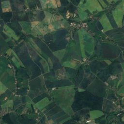
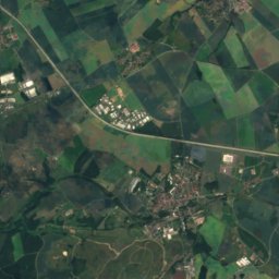
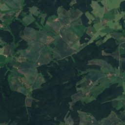
Satellite: Sentinel-2 cloudless 2016 by EOX IT Services GmbH · CC BY 4.0 · Contains modified Copernicus Sentinel data 2016
Pfaffenberg (Hohenstein-Ernstthal)22 km E479 mJuly 23°Pfaffenberg (Hohenstein-Ernstthal)
Photo: Markscheider · CC BY-SA 4.0 · Wikimedia CommonsReport this photo · linked, not stored
Schmirchauer Höhe17 km W373 mJuly 25°Schmirchauer Höhe
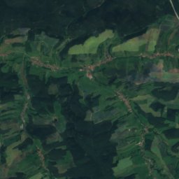
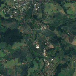
Satellite: Sentinel-2 cloudless 2016 by EOX IT Services GmbH · CC BY 4.0 · Contains modified Copernicus Sentinel data 2016
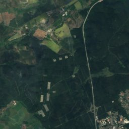
Zoitzberg23 km W285 mJuly 25°Zoitzberg
Stay nearby

Towns close by

Ponitz
Photo: Lucas Friese · Public domain · Wikimedia CommonsReport this photo · linked, not stored

Ponitz

Thuringia · 1.9 km NE
14°Oct high
10wet days
51score
Ponitz
Zschöpel
Photo: Lucas Friese · Public domain · Wikimedia CommonsReport this photo · linked, not stored

Zschöpel

Thuringia · 3.0 km N
14°Oct high
10wet days
50score
Zschöpel
Crimmitschau
Photo: Je-str · CC BY-SA 4.0 · Wikimedia CommonsReport this photo · linked, not stored

Crimmitschau

Saxony · 3.2 km SW
14°Oct high
10wet days
50score
Crimmitschau
Meerane
Photo: Hodilo · Public domain · Wikimedia CommonsReport this photo · linked, not stored

Meerane

Saxony · 3.7 km E
14°Oct high
10wet days
50score
Meerane
Around here

Ponitz and around

Ponitz
Photo: Lucas Friese · Public domain · Wikimedia CommonsReport this photo · linked, not stored

Ponitz

Thuringia · Germany
Jun · Aug–Sepbest months
25°July high
220 maltitude
Ponitz

Nature

Sprotte
Photo: Michael Sander · CC BY-SA 3.0 · Wikimedia CommonsReport this photo · linked, not stored
9.0 km N

Sprotte

River
Sprotte
Lungwitzbach
Photo: Jwaller · CC BY-SA 3.0 · Wikimedia CommonsReport this photo · linked, not stored
9.3 km E

Lungwitzbach

River
Lungwitzbach
Talsperre Koberbach
Photo: Je-str · CC BY 3.0 · Wikimedia CommonsReport this photo · linked, not stored
11 km SW

Talsperre Koberbach

Lake · 273 m
Talsperre Koberbach

Mountains

Kuhberg (Stützengrün)
Photo: Peng · CC BY-SA 3.0 · Wikimedia CommonsReport this photo · linked, not stored
38 km S

Kuhberg (Stützengrün)

795 m · Ore Mountains
Kuhberg (Stützengrün)
Steinberg bei Wernesgrün
Photo: Markscheider · CC BY 3.0 · Wikimedia CommonsReport this photo · linked, not stored
35 km S

Steinberg bei Wernesgrün

659 m · Ore Mountains
Steinberg bei Wernesgrün
Katzenstein (Affalter)
Photo: Fireball2 · CC BY-SA 3.0 · Wikimedia CommonsReport this photo · linked, not stored
33 km SE

Katzenstein (Affalter)

627 m · Ore Mountains
Katzenstein (Affalter)

Heritage

Frankenhausen Abbey
Photo: DG0MA · CC BY-SA 3.0 · Wikimedia CommonsReport this photo · linked, not stored
2.6 km SW

Frankenhausen Abbey

heritage monument in Saxony · 1410
Frankenhausen Abbey
Church of Peace, Ponitz
Photo: Wikswat · CC BY 3.0 · Wikimedia CommonsReport this photo · linked, not stored
0.1 km SE

Church of Peace, Ponitz

Heritage monument in Thuringia
Church of Peace, Ponitz
Schloss Ponitz
Photo: Aagnverglaser · CC BY-SA 4.0 · Wikimedia CommonsReport this photo · linked, not stored
0.1 km SW

Schloss Ponitz

Heritage monument in Thuringia
Schloss Ponitz

Museums

Heimatstube Gößnitz
Photo: Lucas Friese · Public domain · Wikimedia CommonsReport this photo · linked, not stored
3.1 km N

Heimatstube Gößnitz

2000
Heimatstube Gößnitz
Tuchfabrik Gebr. Pfau
Photo: Jens Strauß · CC BY-SA 4.0 · Wikimedia CommonsReport this photo · linked, not stored
3.9 km SW

Tuchfabrik Gebr. Pfau

Textile museum
Tuchfabrik Gebr. Pfau
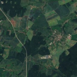
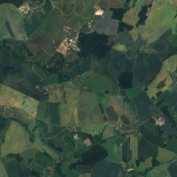
Satellite: Sentinel-2 cloudless 2016 by EOX IT Services GmbH · CC BY 4.0 · Contains modified Copernicus Sentinel data 2016
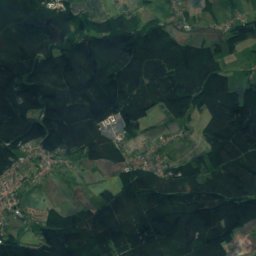
3.2 km E

Meerane museum

Local museum
Meerane museum