Skip to content
Destinations
Weather & climate
Nature
Outdoors
Culture
Events
Sky & live
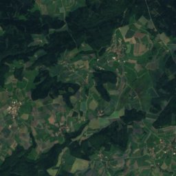
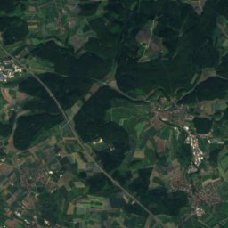
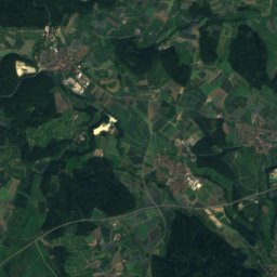
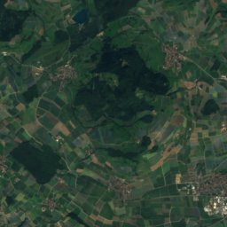
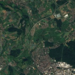
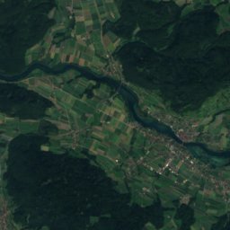
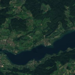
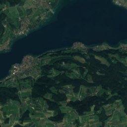
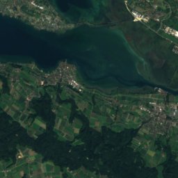
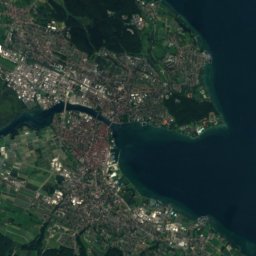
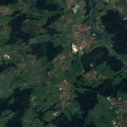
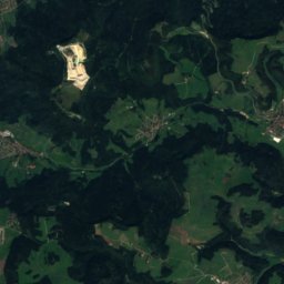
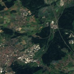
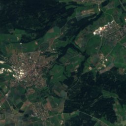
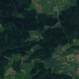
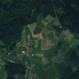
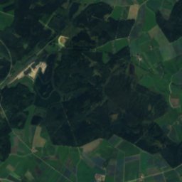
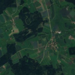
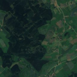
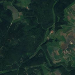
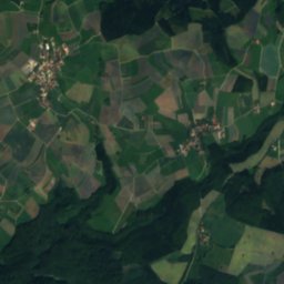
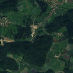
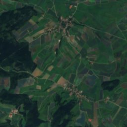
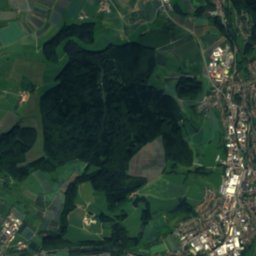
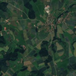
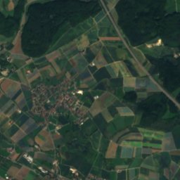
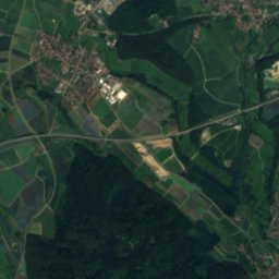
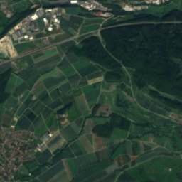
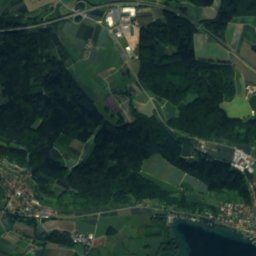
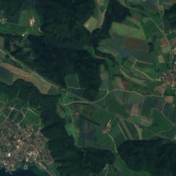
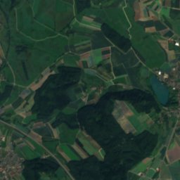
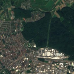
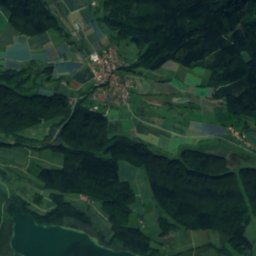
Satellite: Sentinel-2 cloudless 2016 by EOX IT Services GmbH · CC BY 4.0 · Contains modified Copernicus Sentinel data 2016
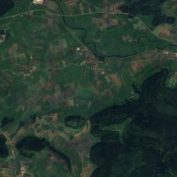
Mindelsee
Photo: Ulrich Prokop · Attribution · Wikimedia Commons
MindelseeReport this photo · linked, not stored
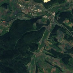
Mindelsee
Markelfinger Winkel
Photo: Hansueli Krapf · CC BY-SA 3.0 · Wikimedia Commons
Markelfinger WinkelReport this photo · linked, not stored
Markelfinger Winkel
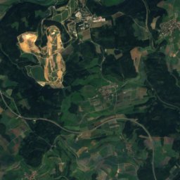
Heidenhöhlen
Photo: Georg Michael Kurz (Stahlstecher, 1815-1883), Konrad Corradi (Zeichner, 1813-187 · Public domain · Wikimedia Commons
HeidenhöhlenReport this photo · linked, not stored
Heidenhöhlen
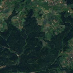
Neuhewen
Photo: Hubenschmid · CC BY-SA 3.0 · Wikimedia Commons
NeuhewenReport this photo · linked, not stored
Neuhewen
RiverBodman-Ludwigshafen, Baden-Wurttemberg

Dettelbach

River398 m elevationBest Jul–Sep
Elevation398 mabove sea level
Length5.6 kmsource to mouth
Nearest townBodman-Ludwigshafen2.9 km
47.82° N, 9.02° EElevation 398 mUTC+2 · Central European Summer Time
When to goBodman-Ludwigshafen · weather score
JanFebMarAprMayJunJulAugSepOctNovDec44October
Best timeJul–Sep
October: high / low14° / 6°
River

Dettelbach in brief

Dettelbach is a river in Bodman-Ludwigshafen, Baden-Wurttemberg, Germany.

It lies at 398 m above sea level.

The nearest town is Bodman-Ludwigshafen, 2.9 km to the E, where the weather is best in July, August and September.

Dettelbach is 5.6 km long.

Bodman-Ludwigshafen: weather and travel guide

Weather nearby now

Forecast for Bodman-Ludwigshafen
4°
Cloudy now
Wind19 km/h
Humidity91%
Cloud cover97%
Today
24 Oct
9°
4°
3 mm
Sun
25 Oct
12°
6°
12 mm
Mon
26 Oct
12°
4°
Tue
27 Oct
16°
7°
Wed
28 Oct
12°
7°
2 mm

Model run 12:00 UTCRefreshed several times a day

When to go

The best months around Dettelbach

Climate of Bodman-Ludwigshafen

Month score in Bodman-Ludwigshafen

Comfort, dry days and sunshine · out of 100
19
Jan
26
Feb
23
Mar
51
Apr
63
May
65
Jun
66
Jul
66
Aug
67
Sep
44
Oct
22
Nov
17
Dec
Map

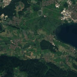
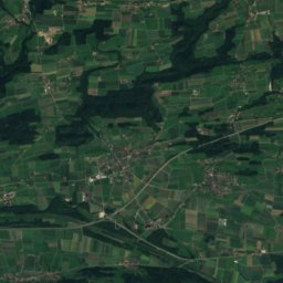
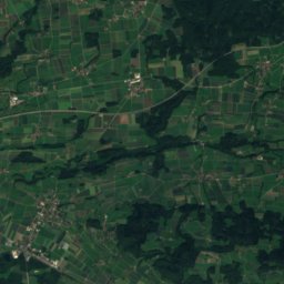
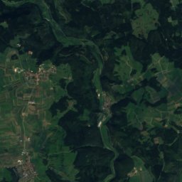
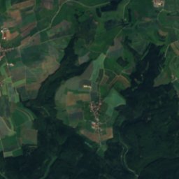
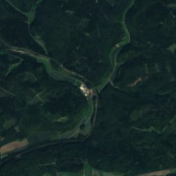
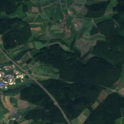
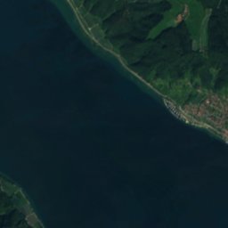
Dettelbach from above

Nature nearbyAll of Germany
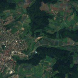
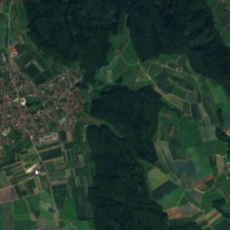
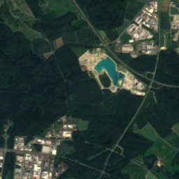
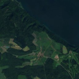
Satellite: Sentinel-2 cloudless 2016 by EOX IT Services GmbH · CC BY 4.0 · Contains modified Copernicus Sentinel data 2016
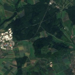
BuchenseeLake6.0 kmSWBuchensee
Photo: Ulrich Prokop · Attribution · Wikimedia CommonsReport this photo · linked, not stored
MindelseeLake6.9 kmSMindelsee
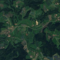
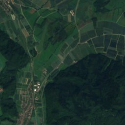
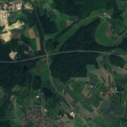
Satellite: Sentinel-2 cloudless 2016 by EOX IT Services GmbH · CC BY 4.0 · Contains modified Copernicus Sentinel data 2016
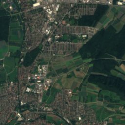
Bohringer SeeLake8.5 kmSWBohringer See
Photo: Hansueli Krapf · CC BY-SA 3.0 · Wikimedia CommonsReport this photo · linked, not stored
Markelfinger WinkelLake8.9 kmSMarkelfinger Winkel
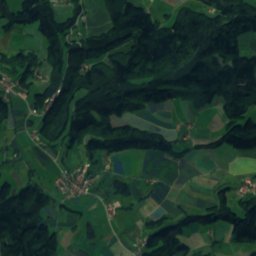
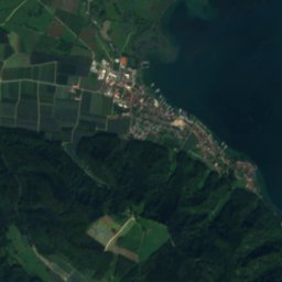
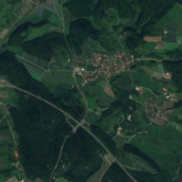
Satellite: Sentinel-2 cloudless 2016 by EOX IT Services GmbH · CC BY 4.0 · Contains modified Copernicus Sentinel data 2016
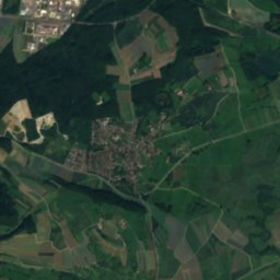
Friedinger SeeLake9.7 kmSWFriedinger See
Photo: Georg Michael Kurz (Stahlstecher, 1815-1883), Konrad Corradi (Zeichner, 1813-187 · Public domain · Wikimedia CommonsReport this photo · linked, not stored
HeidenhöhlenCave9.8 kmSEHeidenhöhlen
Summits nearbyMountains of Germany
Photo: Hubenschmid · CC BY-SA 3.0 · Wikimedia CommonsReport this photo · linked, not stored
Neuhewen23 km W867 mJuly 23°Neuhewen
Satellite: Sentinel-2 cloudless 2016 by EOX IT Services GmbH · CC BY 4.0 · Contains modified Copernicus Sentinel data 2016
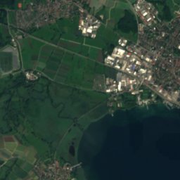
Hegau20 km W867 mJuly 23°Hegau
Photo: Johannes Baier · CC BY 4.0 · Wikimedia CommonsReport this photo · linked, not stored
Hohenstoffeln20 km W844 mJuly 23°Hohenstoffeln
Photo: Prekario · CC BY-SA 3.0 · Wikimedia CommonsReport this photo · linked, not stored
Hohenhewen20 km W844 mJuly 23°Hohenhewen
Photo: ANKAWÜ · CC BY-SA 4.0 · Wikimedia CommonsReport this photo · linked, not stored
Höwenegg23 km NW803 mJuly 23°Höwenegg
Satellite: Sentinel-2 cloudless 2016 by EOX IT Services GmbH · CC BY 4.0 · Contains modified Copernicus Sentinel data 2016
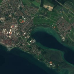
Seerücken19 km S721 mJuly 23°Seerücken
Stay nearby

Towns close by

Bodman-Ludwigshafen
Photo: Bodman-Ludwigshafen · Public domain · Wikimedia CommonsReport this photo · linked, not stored

Bodman-Ludwigshafen

Baden-Wurttemberg · 2.9 km E
14°Oct high
12wet days
44score
Bodman-Ludwigshafen
Stockach
Photo: UNTERMVIERENBERGE-2 · CC BY 4.0 · Wikimedia CommonsReport this photo · linked, not stored

Stockach

Baden-Wurttemberg · 3.9 km N
14°Oct high
12wet days
42score
Stockach
Orsingen-Nenzingen
Photo: TommiS · CC BY 3.0 · Wikimedia CommonsReport this photo · linked, not stored

Orsingen-Nenzingen

Baden-Wurttemberg · 5.2 km NW
14°Oct high
12wet days
44score
Orsingen-Nenzingen
Sipplingen
Photo: Mdpks · CC BY-SA 4.0 · Wikimedia CommonsReport this photo · linked, not stored

Sipplingen

Baden-Wurttemberg · 6.4 km E
14°Oct high
12wet days
44score
Sipplingen
Around here

Bodman-Ludwigshafen and around

Bodman-Ludwigshafen
Photo: Bodman-Ludwigshafen · Public domain · Wikimedia CommonsReport this photo · linked, not stored

Bodman-Ludwigshafen

Baden-Wurttemberg · Germany
Jul–Sepbest months
25°July high
405 maltitude
Bodman-Ludwigshafen

Nature

Mindelsee
Photo: Ulrich Prokop · Attribution · Wikimedia CommonsReport this photo · linked, not stored
7.5 km S

Mindelsee

Lake · 409 m
Mindelsee
Andelshofer Weiher
Photo: UNTERMVIERENBERGE-2 · CC BY 4.0 · Wikimedia CommonsReport this photo · linked, not stored
9.8 km E

Andelshofer Weiher

Lake · 508 m
Andelshofer Weiher
Markelfinger Winkel
Photo: Hansueli Krapf · CC BY-SA 3.0 · Wikimedia CommonsReport this photo · linked, not stored
10 km SW

Markelfinger Winkel

Lake
Markelfinger Winkel

Mountains

Dreifaltigkeitsberg
Photo: Zottie · CC BY-SA 3.0 · Wikimedia CommonsReport this photo · linked, not stored
37 km NW

Dreifaltigkeitsberg

988 m · Swabian Jura
Dreifaltigkeitsberg
Alter Berg
Photo: Adrian Thomale · CC BY-SA 3.0 · Wikimedia CommonsReport this photo · linked, not stored
36 km NW

Alter Berg

980 m · Swabian Jura
Alter Berg
Satellite: Sentinel-2 cloudless 2016 by EOX IT Services GmbH · CC BY 4.0 · Contains modified Copernicus Sentinel data 2016
39 km NW

Klippeneck

980 m · Swabian Jura
Klippeneck

Heritage

Schloss Bodman
Photo: Gisela s · CC BY-SA 3.0 · Wikimedia CommonsReport this photo · linked, not stored
2.7 km S

Schloss Bodman

cultural heritage monument in Baden-Württemberg · 1757
Schloss Bodman
Pfarrkirche St. Otmar
Photo: Frank Vincentz · CC BY-SA 3.0 · Wikimedia CommonsReport this photo · linked, not stored
0.3 km NE

Pfarrkirche St. Otmar

cultural heritage monument in Baden-Württemberg
Pfarrkirche St. Otmar
St. Peter und Paul, Bodman-Ludwigshafen
Photo: Gerhard Giebener · CC BY 2.0 · Wikimedia CommonsReport this photo · linked, not stored
2.6 km S

St. Peter und Paul, Bodman-Ludwigshafen

cultural heritage monument in Baden-Württemberg
St. Peter und Paul, Bodman-Ludwigshafen

Museums

Satellite: Sentinel-2 cloudless 2016 by EOX IT Services GmbH · CC BY 4.0 · Contains modified Copernicus Sentinel data 2016
0.7 km SW

Museum unter Wasser

Museum unter Wasser
Langenstein Castle
Photo: TommiS · CC BY 3.0 · Wikimedia CommonsReport this photo · linked, not stored
12 km W

Langenstein Castle

1100
Langenstein Castle
Reichlin-von-Meldegg-Haus
Photo: Frank Vincentz · CC BY-SA 3.0 · Wikimedia CommonsReport this photo · linked, not stored
9.8 km SE

Reichlin-von-Meldegg-Haus

Reichlin-von-Meldegg-Haus