Skip to content
Destinations
Weather & climate
Nature
Outdoors
Culture
Events
Sky & live
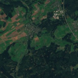
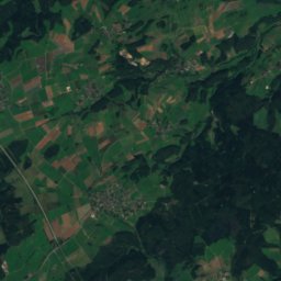
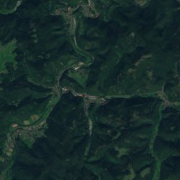
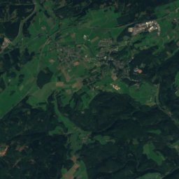
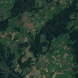
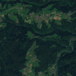
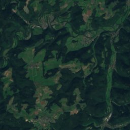
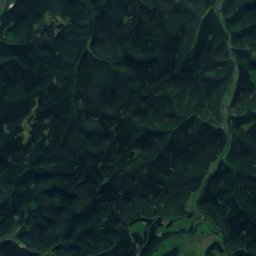
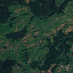
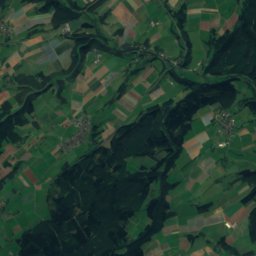
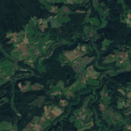
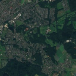
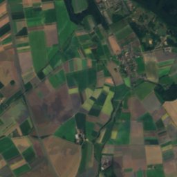
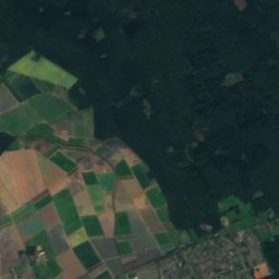
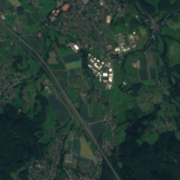
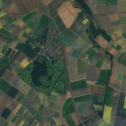
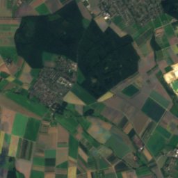
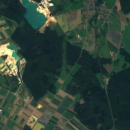
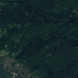
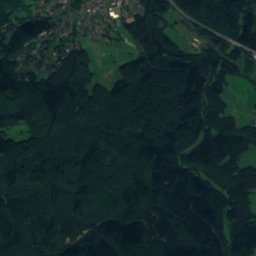
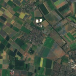
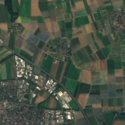
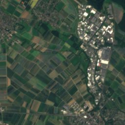
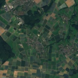
Satellite: Sentinel-2 cloudless 2016 by EOX IT Services GmbH · CC BY 4.0 · Contains modified Copernicus Sentinel data 2016
Keltersbaumbach
Photo: Hydro Graf · CC BY-SA 3.0 · Wikimedia Commons
KeltersbaumbachReport this photo · linked, not stored
Keltersbaumbach
Klufterbach
Photo: Hydro Graf · CC BY-SA 3.0 de · Wikimedia Commons
KlufterbachReport this photo · linked, not stored
Klufterbach
Götgesbach
Photo: Hydro Graf · CC BY-SA 4.0 · Wikimedia Commons
GötgesbachReport this photo · linked, not stored
Götgesbach
Häuschen
Photo: Mabol! · CC BY-SA 3.0 · Wikimedia Commons
HäuschenReport this photo · linked, not stored
Häuschen
RiverPech, North Rhine-Westphalia

Compbach

RiverBest Jul–Sep
Elevation–above sea level
Length1.2 kmsource to mouth
Nearest townPech0.8 km
50.66° N, 7.12° EUTC+2 · Central European Summer Time
When to goPech · weather score
JanFebMarAprMayJunJulAugSepOctNovDec47October
Best timeJul–Sep
October: high / low15° / 7°
River

Compbach in brief

Compbach is a river in Pech, North Rhine-Westphalia, Germany.

The nearest town is Pech, 0.8 km to the W, where the weather is best in July, August and September.

Compbach is 1.2 km long.

Pech: weather and travel guide

Weather nearby now

Forecast for Pech
15°
Rain now
Wind27 km/h
Humidity62%
Cloud cover91%
Today
23 Oct
15°
9°
6 mm
Sat
24 Oct
13°
7°
10 mm
Sun
25 Oct
15°
8°
20 mm
Mon
26 Oct
14°
8°
1 mm
Tue
27 Oct
18°
10°
5 mm

Model run 12:00 UTCRefreshed several times a day

When to go

The best months around Compbach

Climate of Pech

Month score in Pech

Comfort, dry days and sunshine · out of 100
16
Jan
19
Feb
25
Mar
57
Apr
63
May
63
Jun
65
Jul
65
Aug
69
Sep
47
Oct
16
Nov
15
Dec
Map

Compbach from above

Nature nearbyAll of Germany
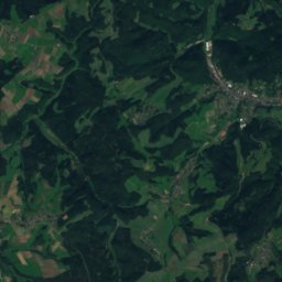
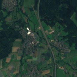
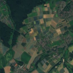
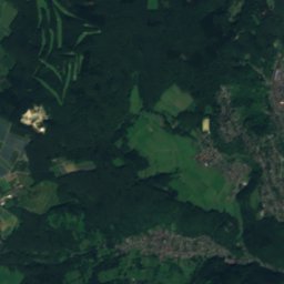
Satellite: Sentinel-2 cloudless 2016 by EOX IT Services GmbH · CC BY 4.0 · Contains modified Copernicus Sentinel data 2016
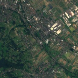
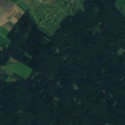
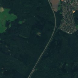
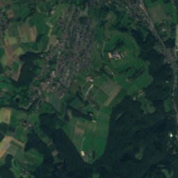
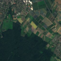
FrohnholzbachRiver0.7 kmEFrohnholzbach
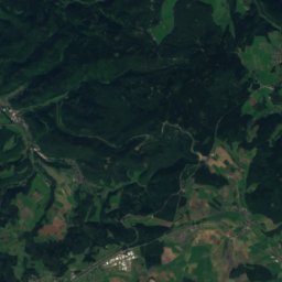
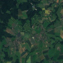
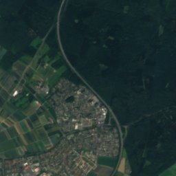
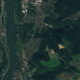
Satellite: Sentinel-2 cloudless 2016 by EOX IT Services GmbH · CC BY 4.0 · Contains modified Copernicus Sentinel data 2016
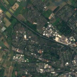
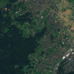
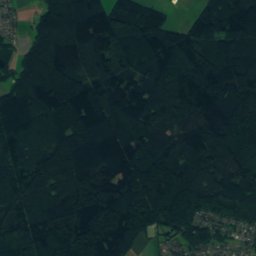
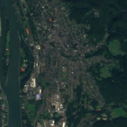
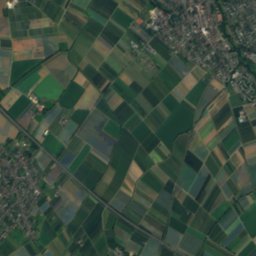
RoßsiefenbachRiver0.8 kmNERoßsiefenbach
Photo: Hydro Graf · CC BY-SA 3.0 · Wikimedia CommonsReport this photo · linked, not stored
KeltersbaumbachRiver2.3 kmNEKeltersbaumbach
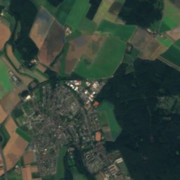
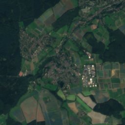
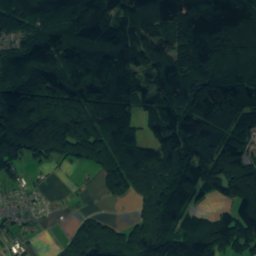
Satellite: Sentinel-2 cloudless 2016 by EOX IT Services GmbH · CC BY 4.0 · Contains modified Copernicus Sentinel data 2016
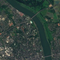
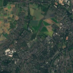
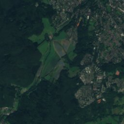
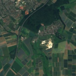
NoßbachRiver2.7 kmENoßbach
Photo: Hydro Graf · CC BY-SA 3.0 de · Wikimedia CommonsReport this photo · linked, not stored
KlufterbachRiver5.0 kmNKlufterbach
Photo: Hydro Graf · CC BY-SA 4.0 · Wikimedia CommonsReport this photo · linked, not stored
GötgesbachRiver5.1 kmWGötgesbach
Summits nearbyMountains of Germany
Photo: Mabol! · CC BY-SA 3.0 · Wikimedia CommonsReport this photo · linked, not stored
Häuschen17 km S507 mJuly 22°Häuschen
Photo: Mabol! · CC BY-SA 3.0 · Wikimedia CommonsReport this photo · linked, not stored
Hochthürmerberg21 km SW500 mJuly 23°Hochthürmerberg
Photo: Abrasax · CC BY-SA 3.0 de · Wikimedia CommonsReport this photo · linked, not stored
Teufelsley24 km SW496 mJuly 23°Teufelsley
Photo: Tohma (talk) / Loreley007 · Public domain · Wikimedia CommonsReport this photo · linked, not stored
Großer Ölberg9.3 km E461 mJuly 23°Großer Ölberg
Photo: barit · CC BY-SA 2.0 · Wikimedia CommonsReport this photo · linked, not stored
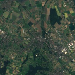
Löwenburg9.0 km E455 mJuly 23°Löwenburg
Satellite: Sentinel-2 cloudless 2016 by EOX IT Services GmbH · CC BY 4.0 · Contains modified Copernicus Sentinel data 2016
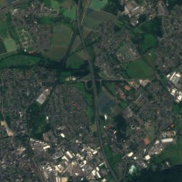
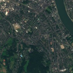
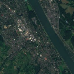
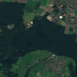
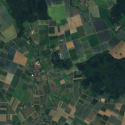
Lohrberg9.0 km E433 mJuly 23°Lohrberg
Stay nearby

Towns close by

Pech
Photo: Unknown author · CC BY-SA 3.0 · Wikimedia CommonsReport this photo · linked, not stored
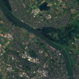
Pech

North Rhine-Westphalia · 0.8 km W
15°Oct high
13wet days
47score
Pech
Ließem
Photo: Xonn · CC BY-SA 3.0 · Wikimedia CommonsReport this photo · linked, not stored
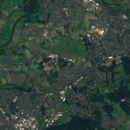
Ließem

North Rhine-Westphalia · 2.6 km E
15°Oct high
13wet days
46score
Ließem
Wachtberg
Photo: Wolkenkratzer · CC BY-SA 3.0 · Wikimedia CommonsReport this photo · linked, not stored
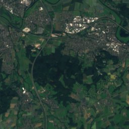
Wachtberg

North Rhine-Westphalia · 3.0 km SW
15°Oct high
13wet days
46score
Wachtberg
Berkum
Photo: Sozi · Public Domain · Wikimedia CommonsReport this photo · linked, not stored
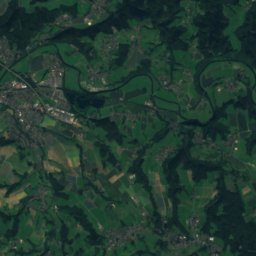
Berkum

North Rhine-Westphalia · 3.6 km S
15°Oct high
13wet days
45score
Berkum
Around here

Pech and around

Pech
Photo: Unknown author · CC BY-SA 3.0 · Wikimedia CommonsReport this photo · linked, not stored
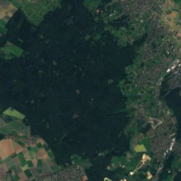
Pech

North Rhine-Westphalia · Germany
Jul–Sepbest months
25°July high
143 maltitude
Pech

Nature

Götgesbach
Photo: Hydro Graf · CC BY-SA 4.0 · Wikimedia CommonsReport this photo · linked, not stored
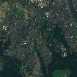
4.3 km W

Götgesbach

River
Götgesbach
Godesberger Bach
Photo: Patrick Ch. Apfeld · CC BY-SA 3.0 · Wikimedia CommonsReport this photo · linked, not stored
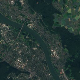
6.2 km NE

Godesberger Bach

River
Godesberger Bach
Ankerbach
Photo: Bungert55 · CC BY-SA 3.0 · Wikimedia CommonsReport this photo · linked, not stored
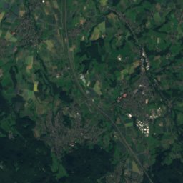
7.6 km NE

Ankerbach

River
Ankerbach

Mountains

Hohe Acht
Photo: Jörg Braukmann · CC BY-SA 3.0 · Wikimedia CommonsReport this photo · linked, not stored
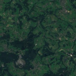
31 km S

Hohe Acht

746 m · High Eifel
Hohe Acht
Raßberg
Photo: Mabol! · CC BY-SA 3.0 · Wikimedia CommonsReport this photo · linked, not stored
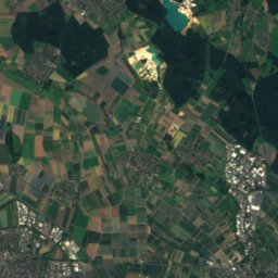
30 km S

Raßberg

668 m · High Eifel
Raßberg
Satellite: Sentinel-2 cloudless 2016 by EOX IT Services GmbH · CC BY 4.0 · Contains modified Copernicus Sentinel data 2016
34 km SW

Aremberg

624 m · Ahr Hills
Aremberg

Heritage

Burg Gudenau
Photo: Carsten Steger · CC BY-SA 4.0 · Wikimedia CommonsReport this photo · linked, not stored
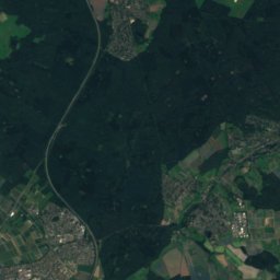
2.8 km SW

Burg Gudenau

architectural heritage monument in North Rhine-Westphalia · 1200
Burg Gudenau
Wattendorfer Mühle
Photo: Capellaria · CC BY-SA 4.0 · Wikimedia CommonsReport this photo · linked, not stored
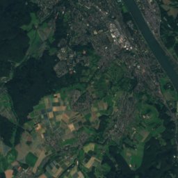
1.8 km NE

Wattendorfer Mühle

architectural heritage monument in North Rhine-Westphalia
Wattendorfer Mühle
Satellite: Sentinel-2 cloudless 2016 by EOX IT Services GmbH · CC BY 4.0 · Contains modified Copernicus Sentinel data 2016
2.0 km N

Ringwall Venne

Bodendenkmal
Ringwall Venne

Museums

Museum Koenig
Photo: Simbel · CC BY-SA 3.0 · Wikimedia CommonsReport this photo · linked, not stored
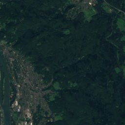
7.7 km N

Museum Koenig

1912
Museum Koenig
LVR-Landesmuseum Bonn
Photo: © Raimond Spekking / CC BY-SA 4.0 (via Wikimedia Commons) · CC BY-SA 4.0 · Wikimedia CommonsReport this photo · linked, not stored
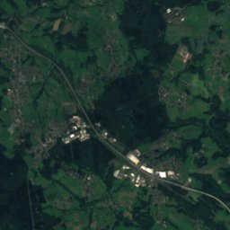
8.9 km N

LVR-Landesmuseum Bonn

1820
LVR-Landesmuseum Bonn
Kunstmuseum Bonn
Photo: © Raimond Spekking / CC BY-SA 4.0 (via Wikimedia Commons) · CC BY-SA 4.0 · Wikimedia CommonsReport this photo · linked, not stored
6.9 km N

Kunstmuseum Bonn

Art museum · 1985
Kunstmuseum Bonn