Skip to content
Destinations
Weather & climate
Nature
Outdoors
Culture
Events
Sky & live
Brend
Photo: Andreas Deuerling · Public domain · Wikimedia Commons
BrendReport this photo · linked, not stored
Els
Photo: Narendur · CC BY-SA 4.0 · Wikimedia Commons
ElsReport this photo · linked, not stored
Els
Kreuzberg (Rhön)
Photo: Jörg Braukmann · CC BY-SA 4.0 · Wikimedia Commons
Kreuzberg (Rhön)Report this photo · linked, not stored
Kreuzberg (Rhön)
Heidelstein
Photo: Jörg Braukmann · CC BY-SA 4.0 · Wikimedia Commons
HeidelsteinReport this photo · linked, not stored
Heidelstein
Eierhauckberg
Photo: Dieter Schmitt, Fulda DSC · CC BY 3.0 · Wikimedia Commons
EierhauckbergReport this photo · linked, not stored
Eierhauckberg
RiverBad Neustadt an der Saale, Bavaria

Brend

River240 m elevationBest Jun · Aug–Sep
Elevation240 mabove sea level
Length26 kmsource to mouth
Nearest townBad Neustadt an der Saale1.1 km
50.32° N, 10.22° EElevation 240 mUTC+1 · Central European Standard Time
When to goBad Neustadt an der Saale · weather score
JanFebMarAprMayJunJulAugSepOctNovDec44October
Best timeJun · Aug–Sep
October: high / low14° / 5°
River

Brend in brief

Brend is a river in Bad Neustadt an der Saale, Bavaria, Germany.

It lies at 240 m above sea level.

The nearest town is Bad Neustadt an der Saale, 1.1 km to the W, where the weather is best in June, August and September.

Brend is 26 km long.

Bad Neustadt an der Saale: weather and travel guide

Weather nearby now

Forecast for Bad Neustadt an der Saale
6°
Clear now
Wind10 km/h
Humidity89%
Cloud cover2%
Today
30 Oct
12°
1°
Sat
31 Oct
11°
1°
Sun
1 Nov
9°
4°
Mon
2 Nov
8°
0°
Tue
3 Nov
8°
2°

Model run 12:00 UTCRefreshed several times a day

The course of the river

As mapped in OpenStreetMap, with the towns along its banks.
sourcemouth (or where the mapped line leaves the country)
When to go

The best months around Brend

Climate of Bad Neustadt an der Saale

Month score in Bad Neustadt an der Saale

Comfort, dry days and sunshine · out of 100
Map

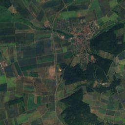
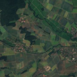
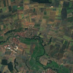
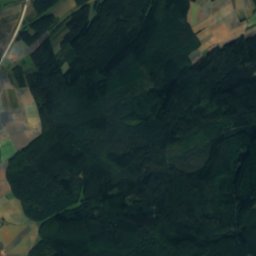
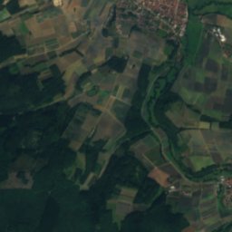
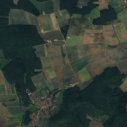
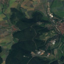
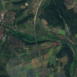
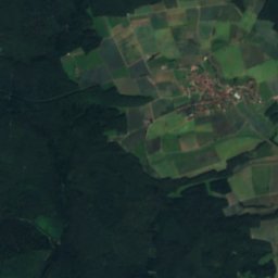
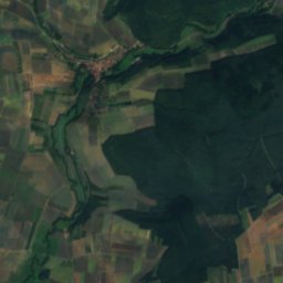
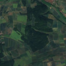
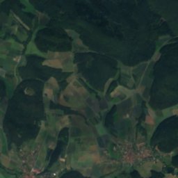
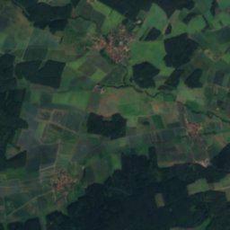
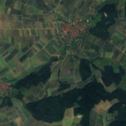
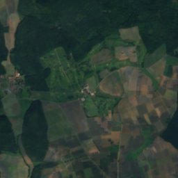
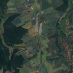
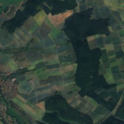
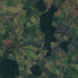
Brend from above

Nature nearbyAll of Germany
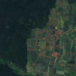
Satellite: Sentinel-2 cloudless 2016 by EOX IT Services GmbH · CC BY 4.0 · Contains modified Copernicus Sentinel data 2016
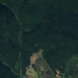
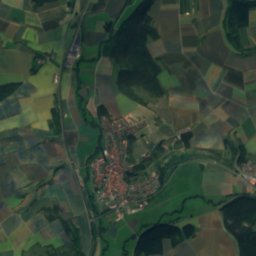
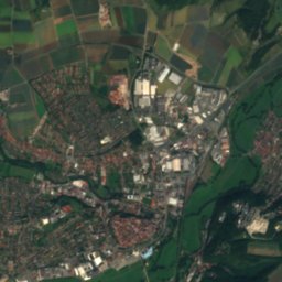
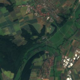
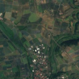
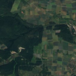
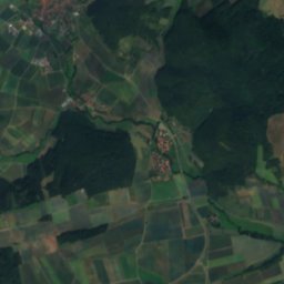
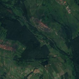
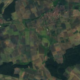
Mariengrotte Nähe Eichenhäuser Straße in RödelmaierCave3.9 kmEMariengrotte Nähe Eichenhäuser Straße in Rödelmaier
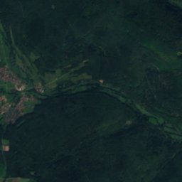
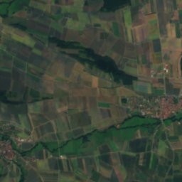
Satellite: Sentinel-2 cloudless 2016 by EOX IT Services GmbH · CC BY 4.0 · Contains modified Copernicus Sentinel data 2016
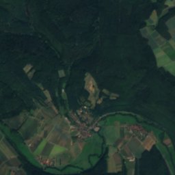
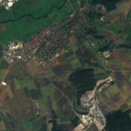
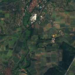
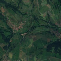
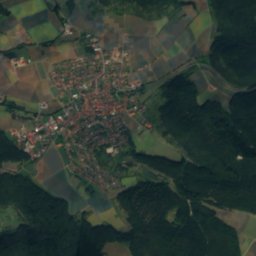
Mariengrotte Friedhofstraße 4 in BurglauerCave6.2 kmSWMariengrotte Friedhofstraße 4 in Burglauer
Photo: Narendur · CC BY-SA 4.0 · Wikimedia CommonsReport this photo · linked, not stored
ElsRiver6.2 kmNEEls
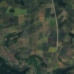
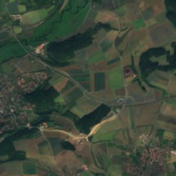
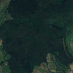
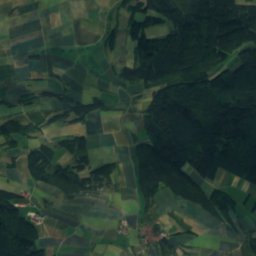
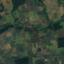
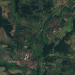
Satellite: Sentinel-2 cloudless 2016 by EOX IT Services GmbH · CC BY 4.0 · Contains modified Copernicus Sentinel data 2016
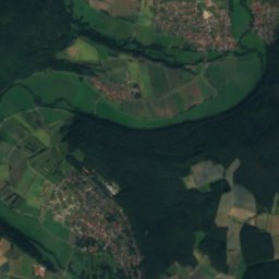
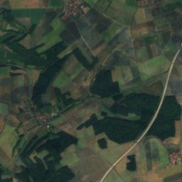
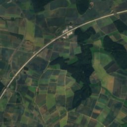
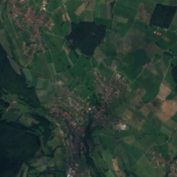
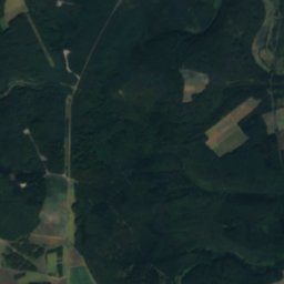
Mariengrotte Palmsbergstraße 29 in NiederlauerCave6.8 kmSWMariengrotte Palmsbergstraße 29 in Niederlauer
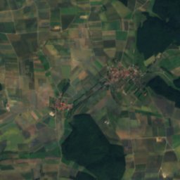
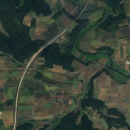
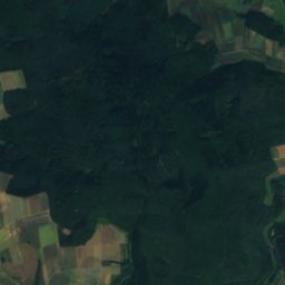
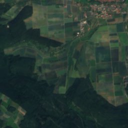
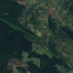
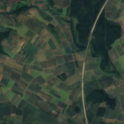
Satellite: Sentinel-2 cloudless 2016 by EOX IT Services GmbH · CC BY 4.0 · Contains modified Copernicus Sentinel data 2016
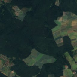
Mariengrotte Hofgasse 16 in Wülfershausen an der SaaleCave8.3 kmEMariengrotte Hofgasse 16 in Wülfershausen an der Saale
Satellite: Sentinel-2 cloudless 2016 by EOX IT Services GmbH · CC BY 4.0 · Contains modified Copernicus Sentinel data 2016
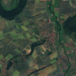
AschelochCave8.7 kmNAscheloch
Summits nearbyMountains of Germany
Photo: Jörg Braukmann · CC BY-SA 4.0 · Wikimedia CommonsReport this photo · linked, not stored
Kreuzberg (Rhön)18 km W928 mJuly 20°Kreuzberg (Rhön)
Photo: Jörg Braukmann · CC BY-SA 4.0 · Wikimedia CommonsReport this photo · linked, not stored
Heidelstein21 km NW926 mJuly 20°Heidelstein
Photo: Dieter Schmitt, Fulda DSC · CC BY 3.0 · Wikimedia CommonsReport this photo · linked, not stored
Eierhauckberg25 km W910 mJuly 20°Eierhauckberg
Photo: Jörg Braukmann · CC BY-SA 4.0 · Wikimedia CommonsReport this photo · linked, not stored
Stirnberg23 km NW902 mJuly 20°Stirnberg
Photo: Jörg Braukmann · CC BY-SA 3.0 · Wikimedia CommonsReport this photo · linked, not stored
Hohe Hölle22 km NW894 mJuly 20°Hohe Hölle
Photo: Jörg Braukmann · CC BY-SA 3.0 · Wikimedia CommonsReport this photo · linked, not stored
Steinkopf (Wüstensachsen)23 km NW888 mJuly 20°Steinkopf (Wüstensachsen)
Stay nearby

Towns close by

Bad Neustadt an der Saale
Photo: Dietrich Krieger · CC BY-SA 3.0 · Wikimedia CommonsReport this photo · linked, not stored

Bad Neustadt an der Saale

Bavaria · 1.1 km W
14°Oct high
11wet days
44score
Bad Neustadt an der Saale
Brendlorenzen
Photo: Tilman2007 · CC BY-SA 3.0 · Wikimedia CommonsReport this photo · linked, not stored

Brendlorenzen

Bavaria · 1.2 km NW
14°Oct high
11wet days
44score
Brendlorenzen
Salz
Photo: Tilman2007 · CC BY-SA 3.0 · Wikimedia CommonsReport this photo · linked, not stored

Salz

Bavaria · 1.8 km SW
14°Oct high
11wet days
44score
Salz
Hohenroth
Photo: Leno89 · CC BY 3.0 · Wikimedia CommonsReport this photo · linked, not stored

Hohenroth

Bavaria · 2.9 km W
13°Oct high
11wet days
42score
Hohenroth
Around here

Bad Neustadt an der Saale and around

Bad Neustadt an der Saale
Photo: Dietrich Krieger · CC BY-SA 3.0 · Wikimedia CommonsReport this photo · linked, not stored

Bad Neustadt an der Saale

Bavaria · Germany
Jun · Aug–Sepbest months
25°July high
235 maltitude
Bad Neustadt an der Saale

Nature

Els
Photo: Narendur · CC BY-SA 4.0 · Wikimedia CommonsReport this photo · linked, not stored
6.9 km NE

Els

River · 241 m
Els
Satellite: Sentinel-2 cloudless 2016 by EOX IT Services GmbH · CC BY 4.0 · Contains modified Copernicus Sentinel data 2016
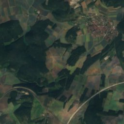
8.4 km SW

Premich

River
Premich
Satellite: Sentinel-2 cloudless 2016 by EOX IT Services GmbH · CC BY 4.0 · Contains modified Copernicus Sentinel data 2016
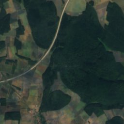
9.8 km S

Wannigsbach

River
Wannigsbach

Mountains

Wasserkuppe
Photo: Jörg Braukmann · CC BY-SA 4.0 · Wikimedia CommonsReport this photo · linked, not stored
27 km NW

Wasserkuppe

950 m · Wasserkuppen Rhön
Wasserkuppe
Dammersfeldkuppe
Photo: Dieter Schmitt, Fulda (DSC) · CC BY 3.0 · Wikimedia CommonsReport this photo · linked, not stored
26 km W

Dammersfeldkuppe

928 m · Rhön Mountains
Dammersfeldkuppe
Kreuzberg (Rhön)
Photo: Jörg Braukmann · CC BY-SA 4.0 · Wikimedia CommonsReport this photo · linked, not stored
17 km W

Kreuzberg (Rhön)

928 m · Rhön Mountains
Kreuzberg (Rhön)

Heritage

Mariä Himmelfahrt, Bad Neustadt an der Saale
Photo: Bayern-Neustadt-Saale-Kirche-Mariä-Himmelfahrt-Außen.jpg: CTHOE derivative work: · CC BY-SA 3.0 · Wikimedia CommonsReport this photo · linked, not stored
0.6 km E

Mariä Himmelfahrt, Bad Neustadt an der Saale

architectural heritage monument in Bavaria
Mariä Himmelfahrt, Bad Neustadt an der Saale
Burganlage
Photo: Behringer B. · CC BY-SA 3.0 · Wikimedia CommonsReport this photo · linked, not stored
1.6 km E

Burganlage

architectural heritage monument in Bavaria
Burganlage
Kapelle, Brendlorenzen
Photo: Tilman2007 · CC BY-SA 3.0 · Wikimedia CommonsReport this photo · linked, not stored
1.5 km NW

Kapelle, Brendlorenzen

architectural heritage monument in Bavaria
Kapelle, Brendlorenzen

Museums

Henneberg Museum Munnerstadt
Photo: MarcelBuehner · CC BY-SA 3.0 · Wikimedia CommonsReport this photo · linked, not stored
8.0 km S

Henneberg Museum Munnerstadt

Henneberg Museum Munnerstadt
Museum Obere Saline
Photo: MarcelBuehner · CC BY-SA 4.0 · Wikimedia CommonsReport this photo · linked, not stored
15 km SW

Museum Obere Saline

Museum Obere Saline
Satellite: Sentinel-2 cloudless 2016 by EOX IT Services GmbH · CC BY 4.0 · Contains modified Copernicus Sentinel data 2016
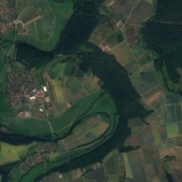
14 km NE

Kreisgalerie

Kreisgalerie