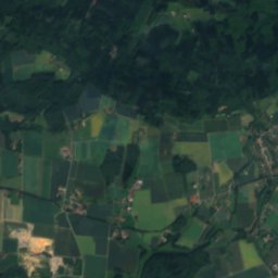
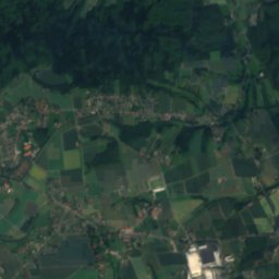
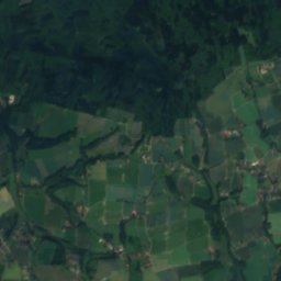
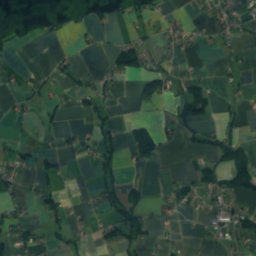
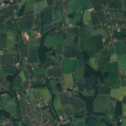
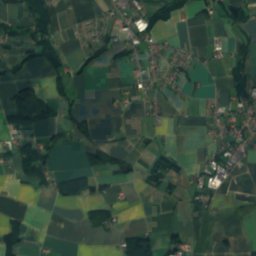
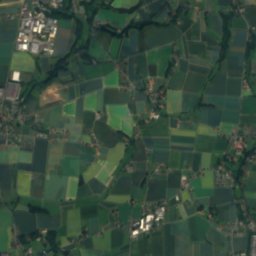
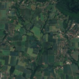
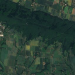
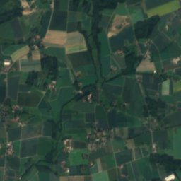
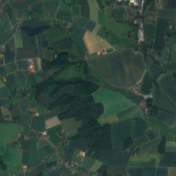
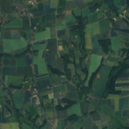
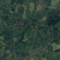
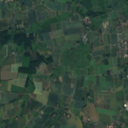
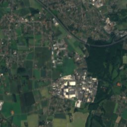
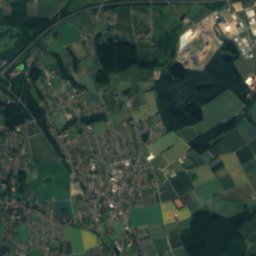
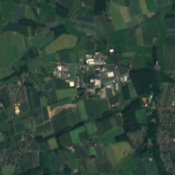
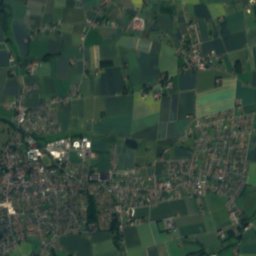
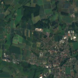
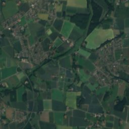
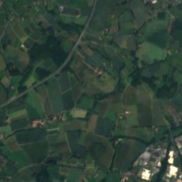
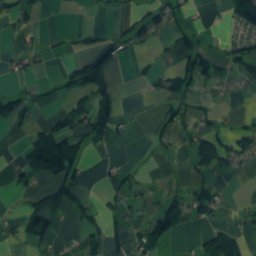
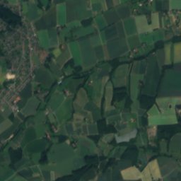
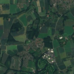
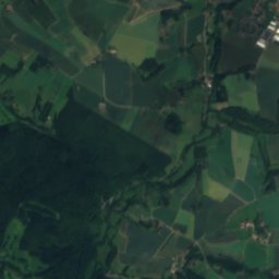
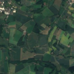
Satellite: Sentinel-2 cloudless 2016 by EOX IT Services GmbH · CC BY 4.0 · Contains modified Copernicus Sentinel data 2016

Photo: Hiddenhauser · CC0 · Wikimedia Commons
Lippinghauser BachReport this photo · linked, not stored
Lippinghauser BachLippinghauser BachReport this photo · linked, not stored

Photo: Unknown author · CC BY-SA 3.0 · Wikimedia Commons
Else (Werre)Report this photo · linked, not stored
Else (Werre)Else (Werre)Report this photo · linked, not stored
 Mühlenbach (Werre)

Photo: P6G47TG · CC BY-SA 4.0 · Wikimedia Commons
Uhlenbach, North Rhine-WestphaliaReport this photo · linked, not stored
Uhlenbach, North Rhine-WestphaliaUhlenbach, North Rhine-WestphaliaReport this photo · linked, not stored
RiverLöhne, North Rhine-Westphalia
Bramschebach
River58 m elevationBest May–Jun · Sep
Elevation58 mabove sea level
Length5.9 kmsource to mouth
Nearest townLöhne3.0 km
52.17° N, 8.67° EElevation 58 mUTC+1 · Central European Standard Time
When to goLöhne · weather score
Best timeMay–Jun · Sep
October: high / low14° / 7°
River
Bramschebach in brief
Bramschebach is a river in Löhne, North Rhine-Westphalia, Germany.
It lies at 58 m above sea level.
The nearest town is Löhne, 3.0 km to the NE, where the weather is best in May, June and September.
Bramschebach is 5.9 km long.
Weather nearby now
Forecast for Löhne8°
Partly cloudy now
Today
26 Oct
13°
7°
2 mm
Tue
27 Oct
17°
10°
1 mm
Wed
28 Oct
14°
8°
Thu
29 Oct
13°
7°
Fri
30 Oct
13°
6°
Model run 12:00 UTCRefreshed several times a day
Map
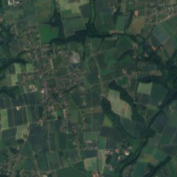
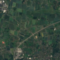
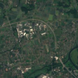
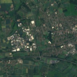
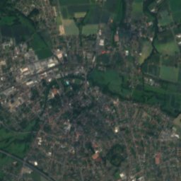
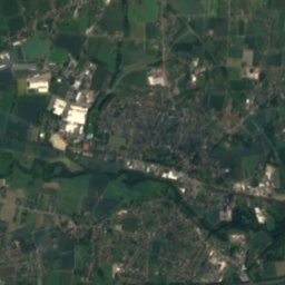
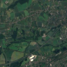
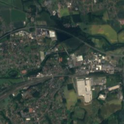
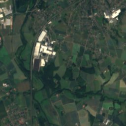
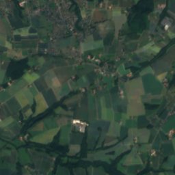
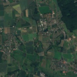
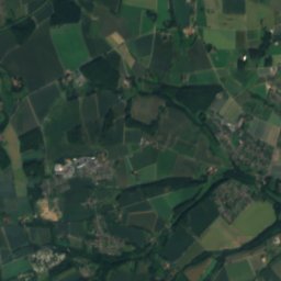
Bramschebach from above
Nature nearbyAll of Germany
Satellite: Sentinel-2 cloudless 2016 by EOX IT Services GmbH · CC BY 4.0 · Contains modified Copernicus Sentinel data 2016


Summits nearbyMountains of Germany
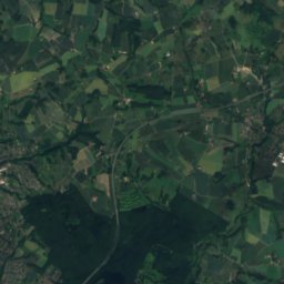
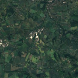
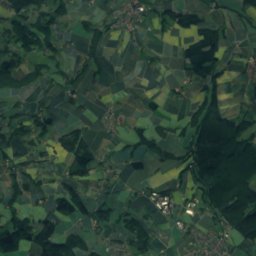
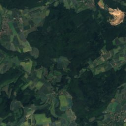
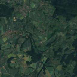
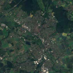
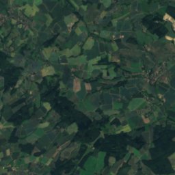
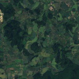
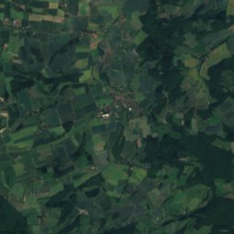
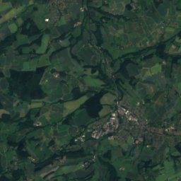
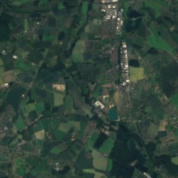
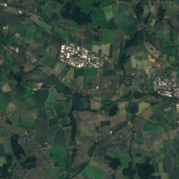
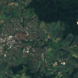
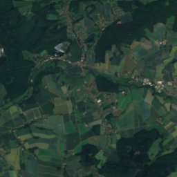
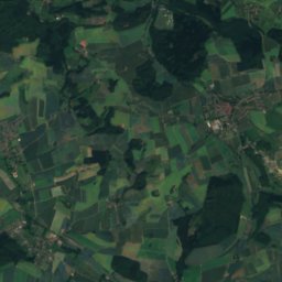
Satellite: Sentinel-2 cloudless 2016 by EOX IT Services GmbH · CC BY 4.0 · Contains modified Copernicus Sentinel data 2016


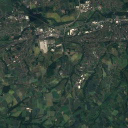
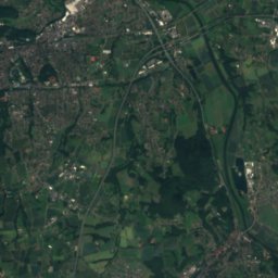
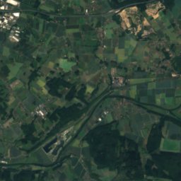
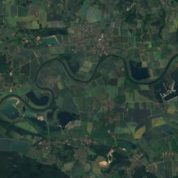
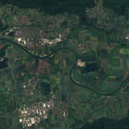
Satellite: Sentinel-2 cloudless 2016 by EOX IT Services GmbH · CC BY 4.0 · Contains modified Copernicus Sentinel data 2016
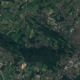
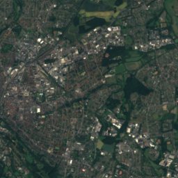
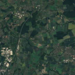
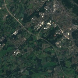
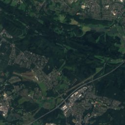
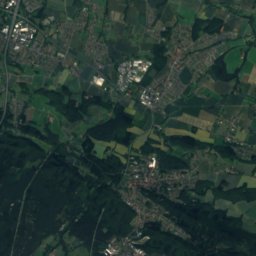
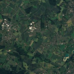
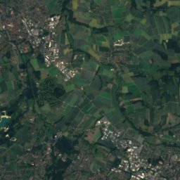
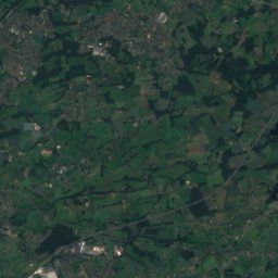
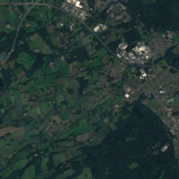
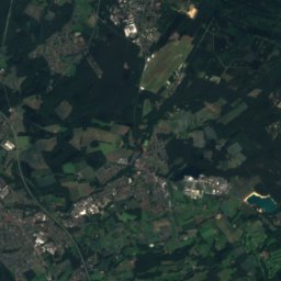
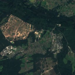
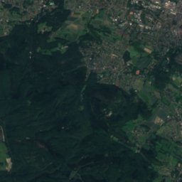
Satellite: Sentinel-2 cloudless 2016 by EOX IT Services GmbH · CC BY 4.0 · Contains modified Copernicus Sentinel data 2016

Stay nearby
Towns close by


Photo: Christoph F. Siekermann · CC BY-SA 3.0 · Wikimedia CommonsReport this photo · linked, not stored
Hiddenhausen
North Rhine-Westphalia · 3.7 km W
14°Oct high
12wet days
43score

Photo: Smial Original uploader was Smial at de.wikipedia · CC BY-SA 2.0 de · Wikimedia CommonsReport this photo · linked, not stored
Kirchlengern
North Rhine-Westphalia · 4.6 km NW
14°Oct high
12wet days
43score

Photo: "Ingo Kirschnereit Cyclejakob" · CC BY 3.0 · Wikimedia CommonsReport this photo · linked, not stored
Herford
North Rhine-Westphalia · 5.6 km S
14°Oct high
12wet days
44score
Around here
Löhne and around
Nature


Mountains

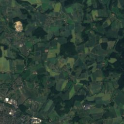
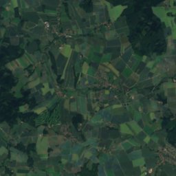
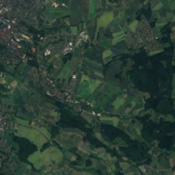
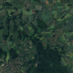
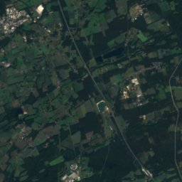
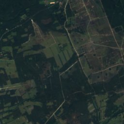
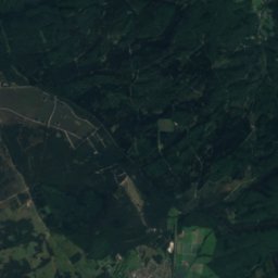
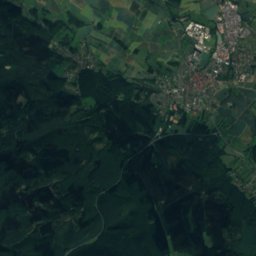
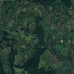
Satellite: Sentinel-2 cloudless 2016 by EOX IT Services GmbH · CC BY 4.0 · Contains modified Copernicus Sentinel data 2016
Stemberg
402 m · Teutoburg Forest

Heritage

Photo: Stefan Flöper / Wikimedia Commons · CC BY-SA 4.0 · Wikimedia CommonsReport this photo · linked, not stored
Löhne (Westf) station
architectural heritage monument in North Rhine-Westphalia

Matthäuskirche, Löhne
architectural heritage monument in North Rhine-Westphalia

Christuskirche, Löhne
architectural heritage monument in North Rhine-Westphalia


