Skip to content
Destinations
Weather & climate
Nature
Outdoors
Culture
Events
Sky & live
Borstenbach
Photo: Jana Juraschek · CC BY-SA 4.0 · Wikimedia Commons
BorstenbachReport this photo · linked, not stored
Forellenbach, North Rhine-Westphalia
Photo: Gwexter · Public domain · Wikimedia Commons
Forellenbach, North Rhine-WestphaliaReport this photo · linked, not stored
Forellenbach, North Rhine-Westphalia
Rehmerloh-Mennighüffer Mühlenbach
Photo: Ath · CC0 · Wikimedia Commons
Rehmerloh-Mennighüffer MühlenbachReport this photo · linked, not stored
Rehmerloh-Mennighüffer Mühlenbach
Salze
Photo: Tola69 · CC BY-SA 3.0 · Wikimedia Commons
SalzeReport this photo · linked, not stored
Salze
Steinberg, Dörentrup
Photo: Tsungam · CC BY-SA 3.0 · Wikimedia Commons
Steinberg, DörentrupReport this photo · linked, not stored
Steinberg, Dörentrup
RiverBad Oeynhausen, North Rhine-Westphalia

Borstenbach

RiverBest May–Jun · Sep
Elevation–above sea level
Length7.5 kmsource to mouth
Nearest townBad Oeynhausen2.5 km
52.22° N, 8.84° EUTC+1 · Central European Standard Time
When to goBad Oeynhausen · weather score
JanFebMarAprMayJunJulAugSepOctNovDec44October
Best timeMay–Jun · Sep
October: high / low14° / 7°
River

Borstenbach in brief

Borstenbach is a river in Bad Oeynhausen, North Rhine-Westphalia, Germany.

The nearest town is Bad Oeynhausen, 2.5 km to the SW, where the weather is best in May, June and September.

Borstenbach is 7.5 km long.

Bad Oeynhausen: weather and travel guide

Weather nearby now

Forecast for Bad Oeynhausen
12°
Cloudy now
Wind16 km/h
Humidity80%
Cloud cover100%
Today
27 Oct
17°
11°
Wed
28 Oct
14°
8°
1 mm
Thu
29 Oct
14°
7°
Fri
30 Oct
13°
5°
Sat
31 Oct
14°
4°

Model run 12:00 UTCRefreshed several times a day

When to go

The best months around Borstenbach

Climate of Bad Oeynhausen

Month score in Bad Oeynhausen

Comfort, dry days and sunshine · out of 100
Map

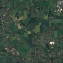
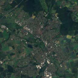
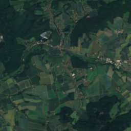
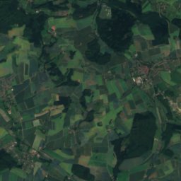
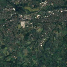
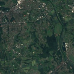
Borstenbach from above

Nature nearbyAll of Germany
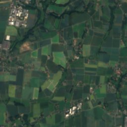
Satellite: Sentinel-2 cloudless 2016 by EOX IT Services GmbH · CC BY 4.0 · Contains modified Copernicus Sentinel data 2016
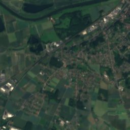
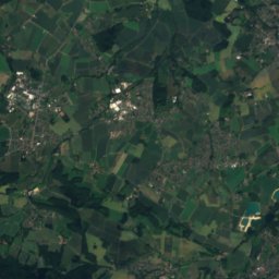
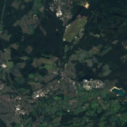
WerreRiver0.6 kmNWWerre
Photo: Gwexter · Public domain · Wikimedia CommonsReport this photo · linked, not stored
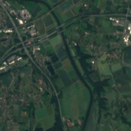
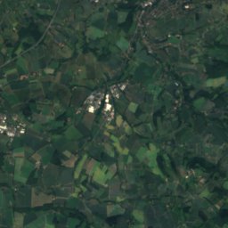
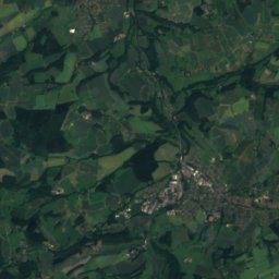
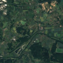
Forellenbach, North Rhine-WestphaliaRiver5.6 kmSForellenbach, North Rhine-Westphalia
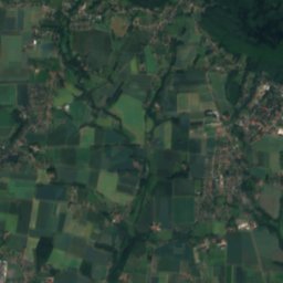
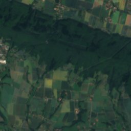
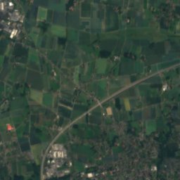
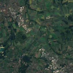
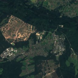
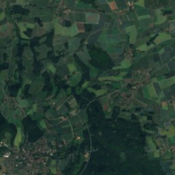
Satellite: Sentinel-2 cloudless 2016 by EOX IT Services GmbH · CC BY 4.0 · Contains modified Copernicus Sentinel data 2016
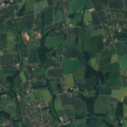
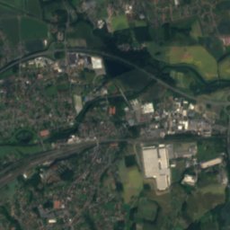
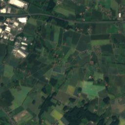
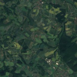
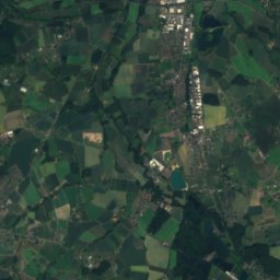
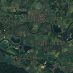
Ostscheider BachRiver5.7 kmWOstscheider Bach
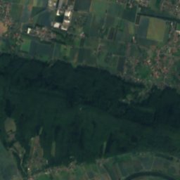
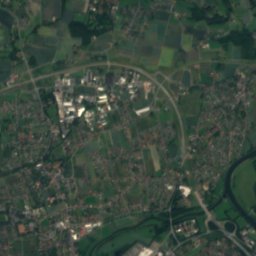
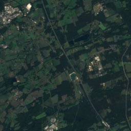
Satellite: Sentinel-2 cloudless 2016 by EOX IT Services GmbH · CC BY 4.0 · Contains modified Copernicus Sentinel data 2016
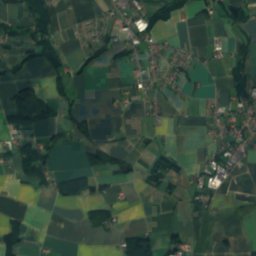
BörstelbachRiver6.3 kmWBörstelbach
Photo: Ath · CC0 · Wikimedia CommonsReport this photo · linked, not stored
Rehmerloh-Mennighüffer MühlenbachRiver7.2 kmWRehmerloh-Mennighüffer Mühlenbach
Photo: Tola69 · CC BY-SA 3.0 · Wikimedia CommonsReport this photo · linked, not stored
SalzeRiver7.3 kmSSalze
Summits nearbyMountains of Germany
Photo: Tsungam · CC BY-SA 3.0 · Wikimedia CommonsReport this photo · linked, not stored
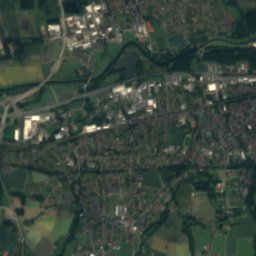
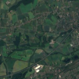
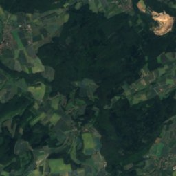
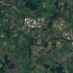
Steinberg, Dörentrup21 km SE396 mJuly 22°Steinberg, Dörentrup
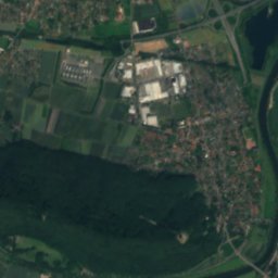
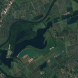
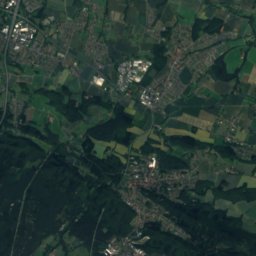
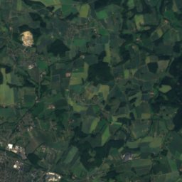
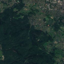
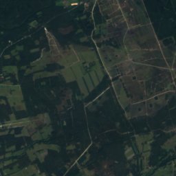
Satellite: Sentinel-2 cloudless 2016 by EOX IT Services GmbH · CC BY 4.0 · Contains modified Copernicus Sentinel data 2016
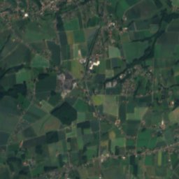
Windelstein20 km S347 mJuly 22°Windelstein
Photo: Gwexter · Public domain · Wikimedia CommonsReport this photo · linked, not stored
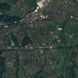
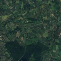
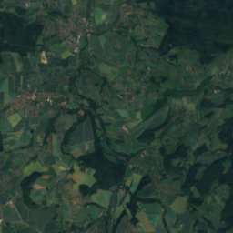
Bonstapel13 km S342 mJuly 23°Bonstapel
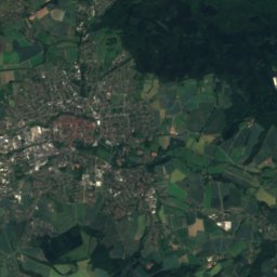
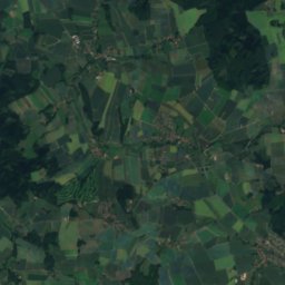
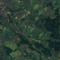
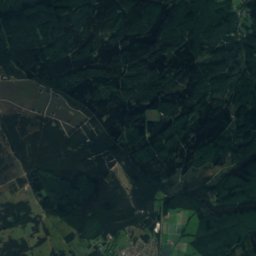
Satellite: Sentinel-2 cloudless 2016 by EOX IT Services GmbH · CC BY 4.0 · Contains modified Copernicus Sentinel data 2016
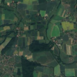
Rafelder Berg15 km SE332 mJuly 23°Rafelder Berg
Photo: FalkOberdorf · CC BY-SA 3.0 · Wikimedia CommonsReport this photo · linked, not stored
Heidbrink16 km NW320 mJuly 23°Heidbrink
Photo: FalkOberdorf · CC BY-SA 3.0 · Wikimedia CommonsReport this photo · linked, not stored
Wurzelbrink17 km NW318 mJuly 23°Wurzelbrink
Stay nearby

Towns close by

Bad Oeynhausen
Photo: Ub12vow · CC BY 3.0 · Wikimedia CommonsReport this photo · linked, not stored

Bad Oeynhausen

North Rhine-Westphalia · 2.5 km SW
14°Oct high
12wet days
44score
Bad Oeynhausen
Porta Westfalica
Photo: Ingo2802 · CC BY-SA 3.0 · Wikimedia CommonsReport this photo · linked, not stored

Porta Westfalica

North Rhine-Westphalia · 5.7 km E
14°Oct high
12wet days
44score
Porta Westfalica
Vlotho
Photo: Gwexter · CC BY-SA 4.0 · Wikimedia CommonsReport this photo · linked, not stored

Vlotho

North Rhine-Westphalia · 6.1 km S
14°Oct high
12wet days
42score
Vlotho
Minden
Photo: Aeggy · CC BY-SA 3.0 · Wikimedia CommonsReport this photo · linked, not stored

Minden

North Rhine-Westphalia · 9.6 km NE
14°Oct high
12wet days
44score
Minden
Around here

Bad Oeynhausen and around

Bad Oeynhausen
Photo: Ub12vow · CC BY 3.0 · Wikimedia CommonsReport this photo · linked, not stored

Bad Oeynhausen

North Rhine-Westphalia · Germany
May–Jun · Sepbest months
24°July high
58 maltitude
Bad Oeynhausen

Nature

Else (Werre)
Photo: Unknown author · CC BY-SA 3.0 · Wikimedia CommonsReport this photo · linked, not stored
8.7 km W

Else (Werre)

River · 51 m
Else (Werre)
Salze
Photo: Tola69 · CC BY-SA 3.0 · Wikimedia CommonsReport this photo · linked, not stored
5.6 km S

Salze

River
Salze
Forellenbach, North Rhine-Westphalia
Photo: Gwexter · Public domain · Wikimedia CommonsReport this photo · linked, not stored
5.8 km SE

Forellenbach, North Rhine-Westphalia

River
Forellenbach, North Rhine-Westphalia

Mountains

Barnacken
Photo: Jörg Braukmann · CC BY-SA 3.0 · Wikimedia CommonsReport this photo · linked, not stored
40 km S

Barnacken

446 m · Teutoburg Forest
Barnacken
Hohe Egge (Süntel)
Photo: Foto: Axel Hindemith · CC BY-SA 4.0 · Wikimedia CommonsReport this photo · linked, not stored
40 km E

Hohe Egge (Süntel)

440 m · Süntel
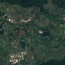
Hohe Egge (Süntel)
Satellite: Sentinel-2 cloudless 2016 by EOX IT Services GmbH · CC BY 4.0 · Contains modified Copernicus Sentinel data 2016
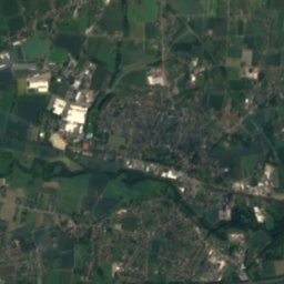
37 km S

Stemberg

402 m · Teutoburg Forest
Stemberg

Heritage

Auferstehungskirche, Bad Oeynhausen
Photo: Z thomas · CC BY-SA 4.0 · Wikimedia CommonsReport this photo · linked, not stored
0.7 km SW

Auferstehungskirche, Bad Oeynhausen

architectural heritage monument in North Rhine-Westphalia
Auferstehungskirche, Bad Oeynhausen
Saint Lawrence Church, Bad Oeynhausen
Photo: Grugerio · CC BY-SA 3.0 · Wikimedia CommonsReport this photo · linked, not stored
1.9 km NE

Saint Lawrence Church, Bad Oeynhausen

architectural heritage monument in North Rhine-Westphalia
Saint Lawrence Church, Bad Oeynhausen
Bad Oeynhausen Süd station
Photo: Stefan Flöper / Wikimedia Commons · CC BY-SA 4.0 · Wikimedia CommonsReport this photo · linked, not stored
1.1 km S

Bad Oeynhausen Süd station

architectural heritage monument in North Rhine-Westphalia
Bad Oeynhausen Süd station

Museums

Deutsches Märchen- und Wesersagenmuseum
Photo: Gwexter · CC BY-SA 3.0 · Wikimedia CommonsReport this photo · linked, not stored
0.7 km SW

Deutsches Märchen- und Wesersagenmuseum

Literary museum · 1973
Deutsches Märchen- und Wesersagenmuseum
Museumshof Bad Oeynhausen
Photo: Ub12vow · CC BY-SA 3.0 · Wikimedia CommonsReport this photo · linked, not stored
2.0 km SW

Museumshof Bad Oeynhausen

Open-air museum · 1969
Museumshof Bad Oeynhausen
Motor Technica Museum Bad Oeynhausen
Photo: Ub12vow · CC BY-SA 3.0 · Wikimedia CommonsReport this photo · linked, not stored
3.1 km E

Motor Technica Museum Bad Oeynhausen

1973
Motor Technica Museum Bad Oeynhausen