Skip to content
Destinations
Weather & climate
Nature
Outdoors
Culture
Events
Sky & live
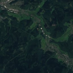
Boroder Bach
Photo: Fonzie · CC BY-SA 4.0 · Wikimedia Commons
Boroder BachReport this photo · linked, not stored
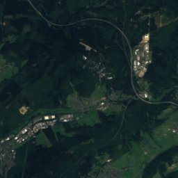
Ingelbach
Photo: LigaDue · CC BY-SA 4.0 · Wikimedia Commons
IngelbachReport this photo · linked, not stored
Ingelbach
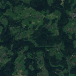
Mudenbach (Wied)
Photo: LigaDue · CC BY-SA 4.0 · Wikimedia Commons
Mudenbach (Wied)Report this photo · linked, not stored
Mudenbach (Wied)
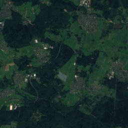
Rothenbach (Wied)
Photo: LigaDue · CC BY-SA 4.0 · Wikimedia Commons
Rothenbach (Wied)Report this photo · linked, not stored
Rothenbach (Wied)
Holzbach, Rheinland-Pfalz
Photo: LigaDue · CC BY-SA 4.0 · Wikimedia Commons
Holzbach, Rheinland-PfalzReport this photo · linked, not stored
Holzbach, Rheinland-Pfalz
RiverBorod, Rheinland-Pfalz

Boroder Bach

RiverBest Jul–Sep
Elevation–above sea level
Length970 msource to mouth
Nearest townBorod0.6 km
50.67° N, 7.71° EUTC+2 · Central European Summer Time
When to goBorod · weather score
JanFebMarAprMayJunJulAugSepOctNovDec39October
Best timeJul–Sep
October: high / low14° / 6°
River

Boroder Bach in brief

Boroder Bach is a river in Borod, Rheinland-Pfalz, Germany.

The nearest town in the atlas is Borod, 0.6 km to the S, where the weather is best in July, August and September.

Boroder Bach is 970 m long.

Borod: weather and travel guide

Weather nearby now

Forecast for Borod
9°
Rain now
Wind19 km/h
Humidity96%
Cloud cover98%
Today
23 Oct
13°
7°
4 mm
Sat
24 Oct
12°
5°
15 mm
Sun
25 Oct
14°
6°
29 mm
Mon
26 Oct
12°
6°
1 mm
Tue
27 Oct
17°
9°
4 mm

Model run 12:00 UTCRefreshed several times a day

When to go

The best months around Boroder Bach

Climate of Borod

Month score in Borod

Comfort, dry days and sunshine · out of 100
15
Jan
18
Feb
19
Mar
53
Apr
62
May
63
Jun
64
Jul
65
Aug
69
Sep
39
Oct
14
Nov
13
Dec
Map

Boroder Bach from above

Nature nearbyAll of Germany
Photo: LigaDue · CC BY-SA 4.0 · Wikimedia CommonsReport this photo · linked, not stored
IngelbachRiver1.6 kmNEIngelbach
Photo: LigaDue · CC BY-SA 4.0 · Wikimedia CommonsReport this photo · linked, not stored
Mudenbach (Wied)River2.2 kmSEMudenbach (Wied)
Photo: LigaDue · CC BY-SA 4.0 · Wikimedia CommonsReport this photo · linked, not stored
Rothenbach (Wied)River2.7 kmSERothenbach (Wied)
Photo: LigaDue · CC BY-SA 4.0 · Wikimedia CommonsReport this photo · linked, not stored
Holzbach, Rheinland-PfalzRiver3.6 kmSEHolzbach, Rheinland-Pfalz
Photo: LigaDue · CC BY-SA 4.0 · Wikimedia CommonsReport this photo · linked, not stored
SehrtenbachRiver4.3 kmWSehrtenbach
Photo: LigaDue · CC BY-SA 4.0 · Wikimedia CommonsReport this photo · linked, not stored
Kleine NisterRiver4.9 kmNEKleine Nister
Summits nearbyMountains of Germany
Photo: Werner Buzan · CC BY-SA 3.0 · Wikimedia CommonsReport this photo · linked, not stored
Stegskopf22 km E654 mJuly 21°Stegskopf
Photo: Kurt + Else Dietrich · CC BY-SA 3.0 · Wikimedia CommonsReport this photo · linked, not stored
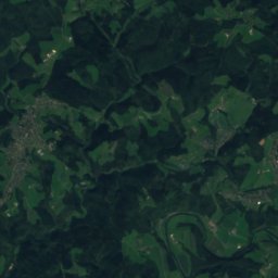
Salzburger Kopf24 km E654 mJuly 21°Salzburger Kopf
Satellite: Sentinel-2 cloudless 2016 by EOX IT Services GmbH · CC BY 4.0 · Contains modified Copernicus Sentinel data 2016
Lipper Nürr24 km E617 mJuly 21°Lipper Nürr
Photo: Dampftrain · CC BY-SA 4.0 · Wikimedia CommonsReport this photo · linked, not stored
Trödelsteine24 km E613 mJuly 21°Trödelsteine
Photo: Danny S. · Attribution · Wikimedia CommonsReport this photo · linked, not stored
Giebelberg24 km NE528 mJuly 22°Giebelberg
Satellite: Sentinel-2 cloudless 2016 by EOX IT Services GmbH · CC BY 4.0 · Contains modified Copernicus Sentinel data 2016
Hohenseelbachs-Kopf22 km NE518 mJuly 22°Hohenseelbachs-Kopf
Stay nearby

Towns close by

Borod
Photo: LigaDue · CC BY-SA 4.0 · Wikimedia CommonsReport this photo · linked, not stored

Borod

Rheinland-Pfalz · 0.6 km S
14°Oct high
13wet days
39score
Borod
Ingelbach
Photo: LigaDue · CC BY-SA 4.0 · Wikimedia CommonsReport this photo · linked, not stored

Ingelbach

Rheinland-Pfalz · 1.2 km N
14°Oct high
13wet days
38score
Ingelbach
Mudenbach
Photo: LigaDue · CC BY-SA 4.0 · Wikimedia CommonsReport this photo · linked, not stored

Mudenbach

Rheinland-Pfalz · 1.6 km SE
14°Oct high
13wet days
38score
Mudenbach
Gieleroth
Photo: LigaDue · CC BY-SA 4.0 · Wikimedia CommonsReport this photo · linked, not stored

Gieleroth

Rheinland-Pfalz · 2.1 km W
14°Oct high
13wet days
37score
Gieleroth
Around here

Borod and around

Borod
Photo: LigaDue · CC BY-SA 4.0 · Wikimedia CommonsReport this photo · linked, not stored

Borod

Rheinland-Pfalz · Germany
Jul–Sepbest months
24°July high
262 maltitude
Borod

Nature

Dreifelder Weiher
Photo: Elke Sinaga · CC BY-SA 3.0 · Wikimedia CommonsReport this photo · linked, not stored
12 km SE

Dreifelder Weiher

Lake · 412 m
Dreifelder Weiher
Haidenweiher
Photo: El tommo · CC0 · Wikimedia CommonsReport this photo · linked, not stored
12 km SE

Haidenweiher

Lake · 420 m
Haidenweiher
Erbach (Wied)
Photo: LigaDue · CC BY-SA 4.0 · Wikimedia CommonsReport this photo · linked, not stored
9.1 km NW

Erbach (Wied)

River
Erbach (Wied)

Mountains

Fuchskaute
Photo: J. Braukmann Milseburg · CC BY-SA 3.0 · Wikimedia CommonsReport this photo · linked, not stored
28 km E

Fuchskaute

657 m · Westerwald
Fuchskaute
Stegskopf
Photo: Werner Buzan · CC BY-SA 3.0 · Wikimedia CommonsReport this photo · linked, not stored
23 km E

Stegskopf

654 m · Westerwald
Stegskopf
Salzburger Kopf
Photo: Kurt + Else Dietrich · CC BY-SA 3.0 · Wikimedia CommonsReport this photo · linked, not stored
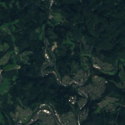
24 km E

Salzburger Kopf

654 m · Westerwald
Salzburger Kopf

Heritage

Marienstatt Abbey
Photo: Wolkenkratzer · CC BY-SA 4.0 · Wikimedia CommonsReport this photo · linked, not stored
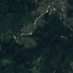
6.9 km E

Marienstatt Abbey

Kulturdenkmal · 1212
Marienstatt Abbey
Evangelische Kirche (Dierdorf)
Photo: LigaDue · CC BY-SA 4.0 · Wikimedia CommonsReport this photo · linked, not stored
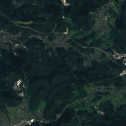
14 km S

Evangelische Kirche (Dierdorf)

Kulturdenkmal
Evangelische Kirche (Dierdorf)
Altenkirchen (Westerw) railway station
Photo: Tohma (talk) · CC BY-SA 4.0 · Wikimedia CommonsReport this photo · linked, not stored
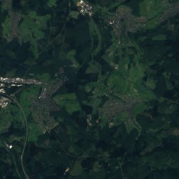
5.3 km W

Altenkirchen (Westerw) railway station

Kulturdenkmal · 1885
Altenkirchen (Westerw) railway station

Museums

Landschaftsmuseum Westerwald
Photo: Karsten11 · Public domain · Wikimedia CommonsReport this photo · linked, not stored
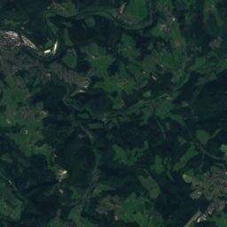
8.6 km E

Landschaftsmuseum Westerwald

Open-air museum
Landschaftsmuseum Westerwald
Schiefergrube Assberg
Photo: © Heinrich Stürzl / Wikimedia Commons · CC BY-SA 4.0 · Wikimedia CommonsReport this photo · linked, not stored
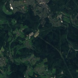
6.6 km NE

Schiefergrube Assberg

Show mine
Schiefergrube Assberg
Museum Raiffeisenhaus Flammersfeld
Photo: Rauenstein · CC BY-SA 3.0 · Wikimedia CommonsReport this photo · linked, not stored
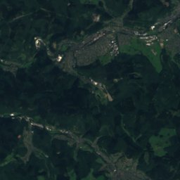
13 km W

Museum Raiffeisenhaus Flammersfeld

Museum Raiffeisenhaus Flammersfeld