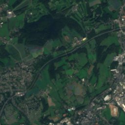
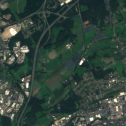
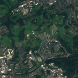
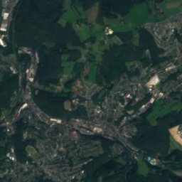
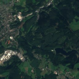
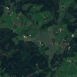
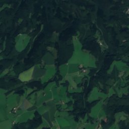
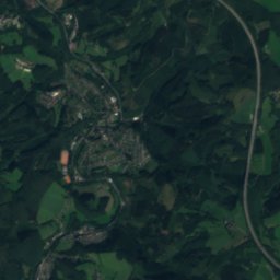
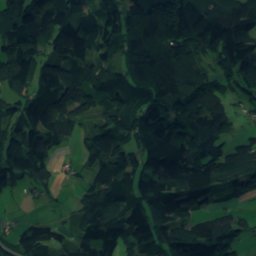
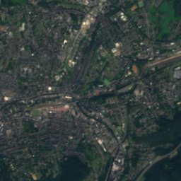
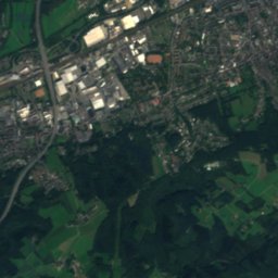
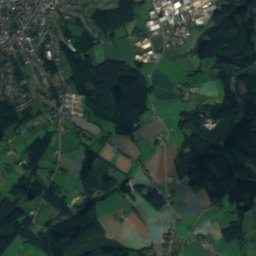
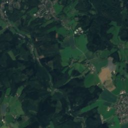
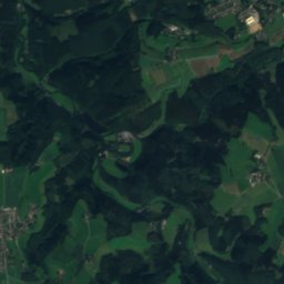
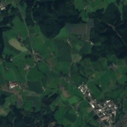
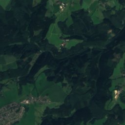
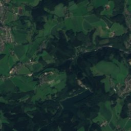
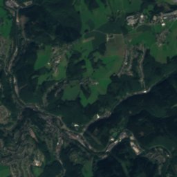
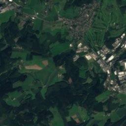
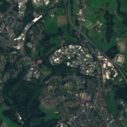
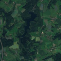
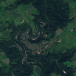
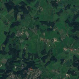
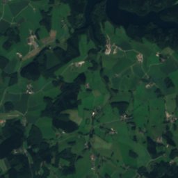
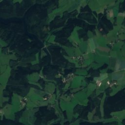
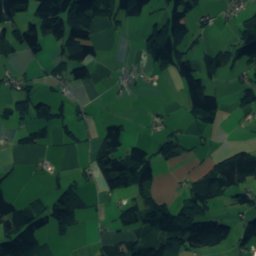
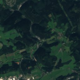
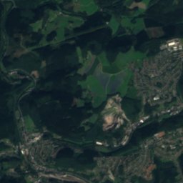
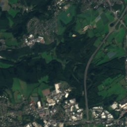
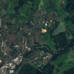
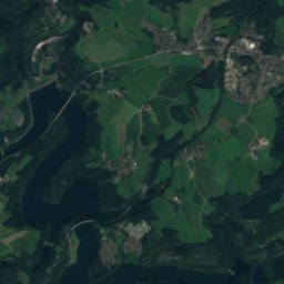
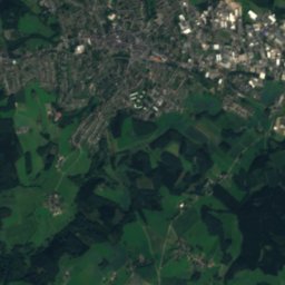
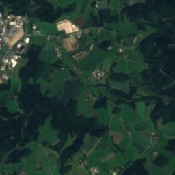
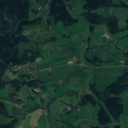
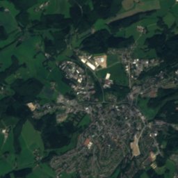
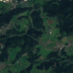
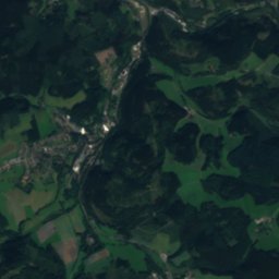
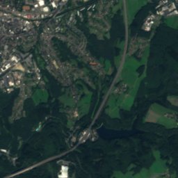
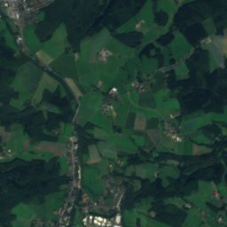
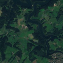
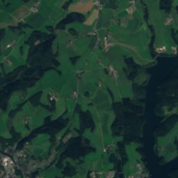
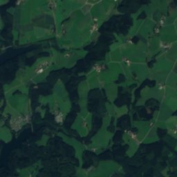
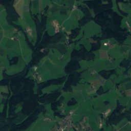
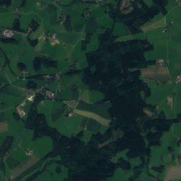
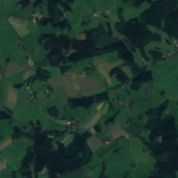
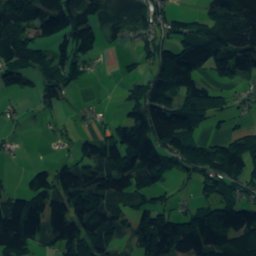
Satellite: Sentinel-2 cloudless 2016 by EOX IT Services GmbH · CC BY 4.0 · Contains modified Copernicus Sentinel data 2016

Photo: Morty · CC BY-SA 3.0 · Wikimedia Commons
Eistringhauser BachReport this photo · linked, not stored
Eistringhauser BachEistringhauser BachReport this photo · linked, not stored
 Brodtberg

Photo: Marku1988 · CC BY 3.0 · Wikimedia Commons
Winterberg, SprockhövelReport this photo · linked, not stored
Winterberg, SprockhövelWinterberg, SprockhövelReport this photo · linked, not stored
 Kiesberg
RiverRadevormwald, North Rhine-Westphalia
Borbach
RiverBest Jul–Sep
Elevation–above sea level
Length2.8 kmsource to mouth
Nearest townRadevormwald4.4 km
51.23° N, 7.41° EUTC+1 · Central European Standard Time
When to goRadevormwald · weather score
Best timeJul–Sep
October: high / low13° / 6°
River
Borbach in brief
Borbach is a river in Radevormwald, North Rhine-Westphalia, Germany.
The nearest town is Radevormwald, 4.4 km to the SW, where the weather is best in July, August and September.
Borbach is 2.8 km long.
Weather nearby now
Forecast for Radevormwald10°
Partly cloudy now
Today
28 Oct
11°
6°
Thu
29 Oct
13°
5°
Fri
30 Oct
13°
6°
Sat
31 Oct
10°
4°
Sun
1 Nov
9°
5°
Model run 00:00 UTCRefreshed several times a day
Map
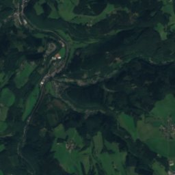
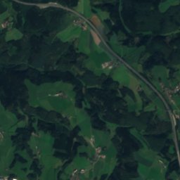
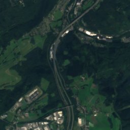
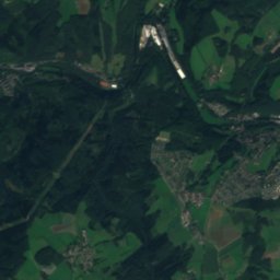
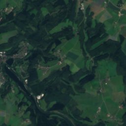
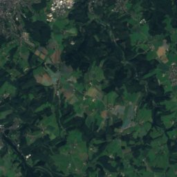
Borbach from above
Nature nearbyAll of Germany
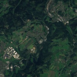
Satellite: Sentinel-2 cloudless 2016 by EOX IT Services GmbH · CC BY 4.0 · Contains modified Copernicus Sentinel data 2016
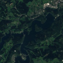
Satellite: Sentinel-2 cloudless 2016 by EOX IT Services GmbH · CC BY 4.0 · Contains modified Copernicus Sentinel data 2016
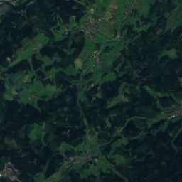
Satellite: Sentinel-2 cloudless 2016 by EOX IT Services GmbH · CC BY 4.0 · Contains modified Copernicus Sentinel data 2016
Satellite: Sentinel-2 cloudless 2016 by EOX IT Services GmbH · CC BY 4.0 · Contains modified Copernicus Sentinel data 2016
Satellite: Sentinel-2 cloudless 2016 by EOX IT Services GmbH · CC BY 4.0 · Contains modified Copernicus Sentinel data 2016

Summits nearbyMountains of Germany
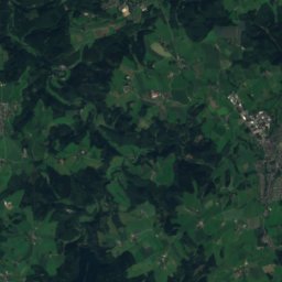
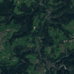
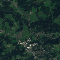
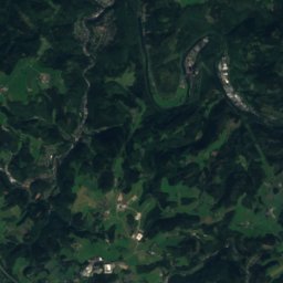
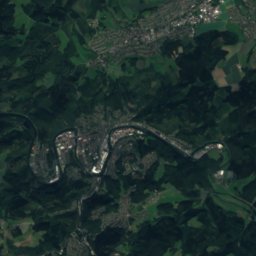
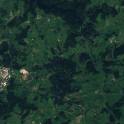
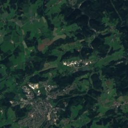
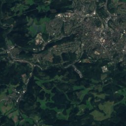
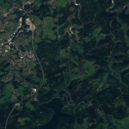
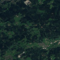
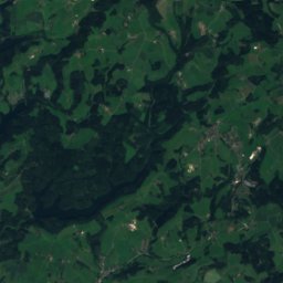
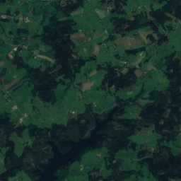
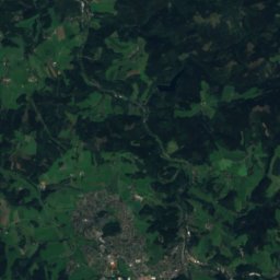
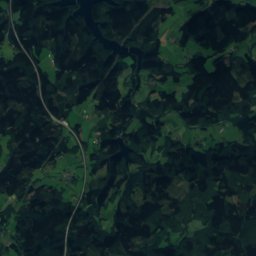
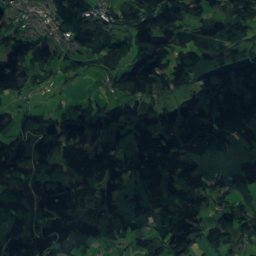
Satellite: Sentinel-2 cloudless 2016 by EOX IT Services GmbH · CC BY 4.0 · Contains modified Copernicus Sentinel data 2016
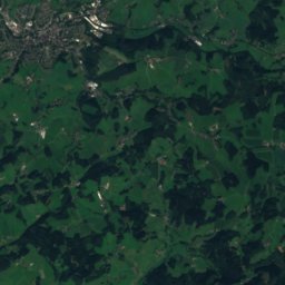
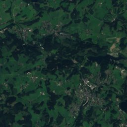
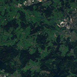
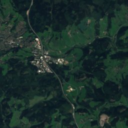
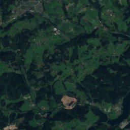
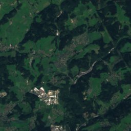
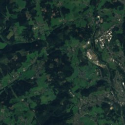
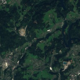
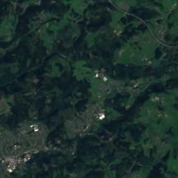
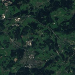
Satellite: Sentinel-2 cloudless 2016 by EOX IT Services GmbH · CC BY 4.0 · Contains modified Copernicus Sentinel data 2016

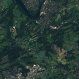
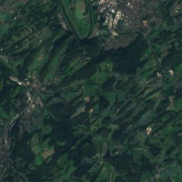
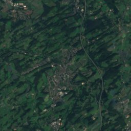
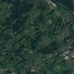
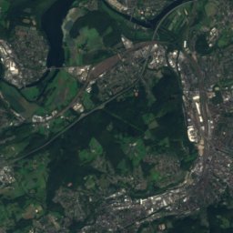
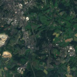
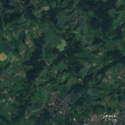
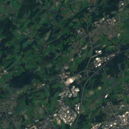
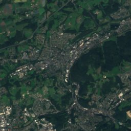
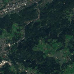
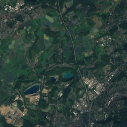
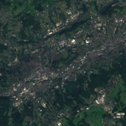
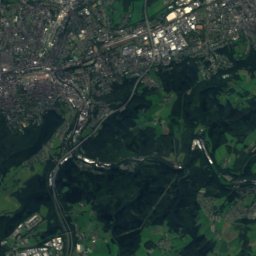
Satellite: Sentinel-2 cloudless 2016 by EOX IT Services GmbH · CC BY 4.0 · Contains modified Copernicus Sentinel data 2016


Stay nearby
Towns close by

Photo: Hans Peter Schaefer, http://www.reserv-a-rt.de · CC BY-SA 3.0 · Wikimedia CommonsReport this photo · linked, not stored
Radevormwald
North Rhine-Westphalia · 4.4 km SW
13°Oct high
13wet days
36score


Around here
Radevormwald and around
Photo: Hans Peter Schaefer, http://www.reserv-a-rt.de · CC BY-SA 3.0 · Wikimedia CommonsReport this photo · linked, not stored
Radevormwald
North Rhine-Westphalia · Germany
Jul–Sepbest months
22°July high
373 maltitude
Nature


Mountains

Heritage

Opernhaus Wuppertal
architectural heritage monument in North Rhine-Westphalia · 1907

Wuppertal Schwebebahn
architectural heritage monument in North Rhine-Westphalia · 1901

Hofeshaus Lütterkus-Heidt
architectural heritage monument in North Rhine-Westphalia · 1600
Museums

Satellite: Sentinel-2 cloudless 2016 by EOX IT Services GmbH · CC BY 4.0 · Contains modified Copernicus Sentinel data 2016


