Skip to content
Destinations
Weather & climate
Nature
Outdoors
Culture
Events
Sky & live
Berste
Photo: Michael Wolf, Penig · CC BY-SA 3.0 · Wikimedia Commons
BersteReport this photo · linked, not stored
Roter Nil
Photo: C. Löser · CC BY 3.0 de · Wikimedia Commons
Roter NilReport this photo · linked, not stored
Roter Nil
Barzlin
Photo: Jan-Herm Janßen · CC BY-SA 4.0 · Wikimedia Commons
BarzlinReport this photo · linked, not stored
Barzlin
Inselteich (Schlepzig)
Photo: J.-H. Janßen · CC BY 4.0 · Wikimedia Commons
Inselteich (Schlepzig)Report this photo · linked, not stored
Inselteich (Schlepzig)
RiverLubin, Brandenburg

Berste

River49 m elevationBest May–Jun · Sep
Elevation49 mabove sea level
Length37 kmsource to mouth
Nearest townLubin1.4 km
51.95° N, 13.89° EElevation 49 mUTC+1 · Central European Standard Time
When to goLubin · weather score
JanFebMarAprMayJunJulAugSepOctNovDec51October
Best timeMay–Jun · Sep
October: high / low14° / 6°
River

Berste in brief

Berste is a river in Lubin, Brandenburg, Germany.

It lies at 49 m above sea level.

The nearest town is Lubin, 1.4 km to the S, where the weather is best in May, June and September.

Berste is 37 km long.

Lubin: weather and travel guide

Weather nearby now

Forecast for Lubin
7°
Cloudy now
Wind11 km/h
Humidity78%
Cloud cover100%
Today
27 Oct
16°
4°
Wed
28 Oct
12°
4°
1 mm
Thu
29 Oct
14°
2°
Fri
30 Oct
13°
6°
Sat
31 Oct
14°
4°

Model run 12:00 UTCRefreshed several times a day

The course of the river

As mapped in OpenStreetMap, with the towns along its banks.
1234
  1. 1Luckau63 m
  2. 2Kasel-Golzig62 m
  3. 3Bersteland51 m
  4. 4Lubin53 m
sourcemouth (or where the mapped line leaves the country)
When to go

The best months around Berste

Climate of Lubin

Month score in Lubin

Comfort, dry days and sunshine · out of 100
18
Jan
27
Feb
25
Mar
66
Apr
71
May
70
Jun
62
Jul
68
Aug
73
Sep
51
Oct
24
Nov
19
Dec
Map

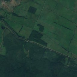
Berste from above

Nature nearbyAll of Germany
Photo: C. Löser · CC BY 3.0 de · Wikimedia CommonsReport this photo · linked, not stored
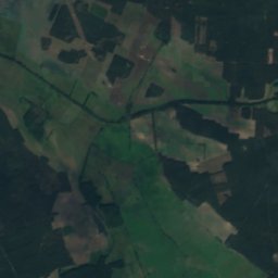
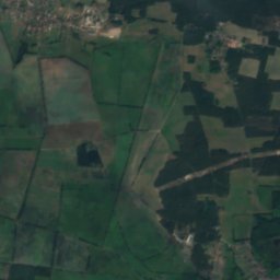
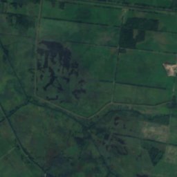
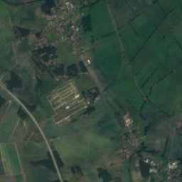
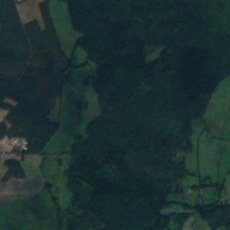
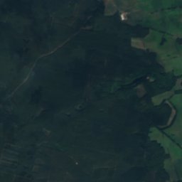
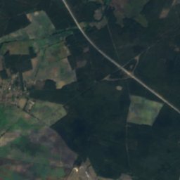
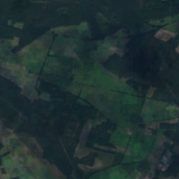
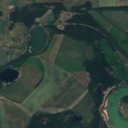
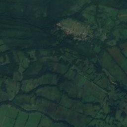
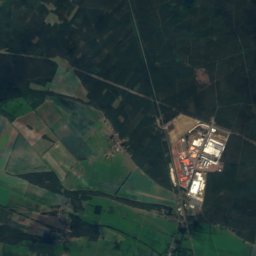
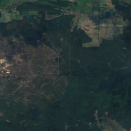
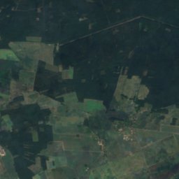
Roter NilRiver1.1 kmSERoter Nil
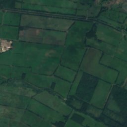
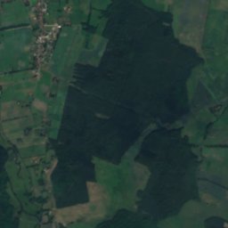
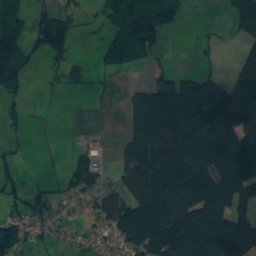
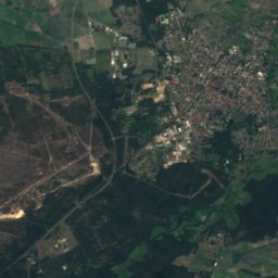
Satellite: Sentinel-2 cloudless 2016 by EOX IT Services GmbH · CC BY 4.0 · Contains modified Copernicus Sentinel data 2016
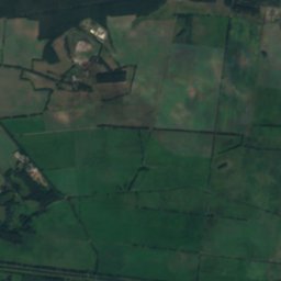
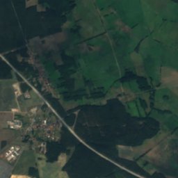
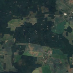
Großes FließRiver7.0 kmSEGroßes Fließ
Photo: Jan-Herm Janßen · CC BY-SA 4.0 · Wikimedia CommonsReport this photo · linked, not stored
BarzlinIsland7.1 kmSEBarzlin
Photo: J.-H. Janßen · CC BY 4.0 · Wikimedia CommonsReport this photo · linked, not stored
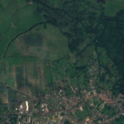
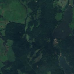
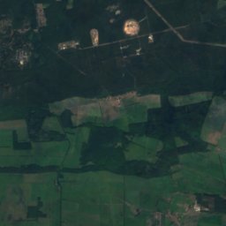
Inselteich (Schlepzig)Lake7.5 kmNInselteich (Schlepzig)
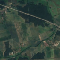
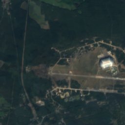
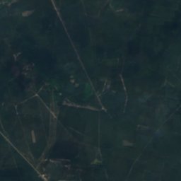
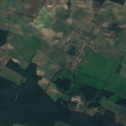
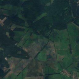
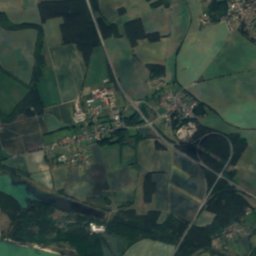
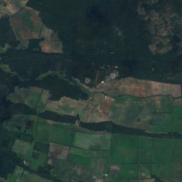
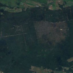
Satellite: Sentinel-2 cloudless 2016 by EOX IT Services GmbH · CC BY 4.0 · Contains modified Copernicus Sentinel data 2016
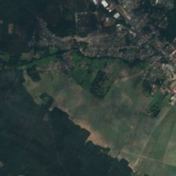
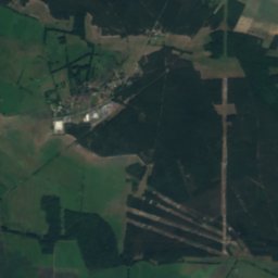
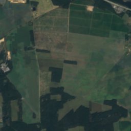
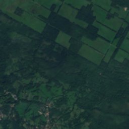
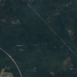
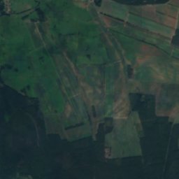
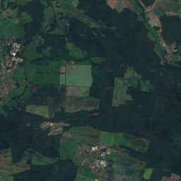
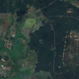
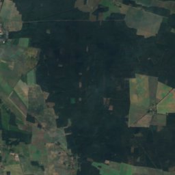
Meierei-SeeLake8.3 kmNWMeierei-See
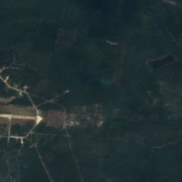
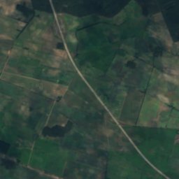
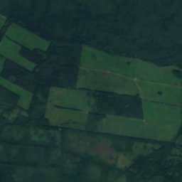
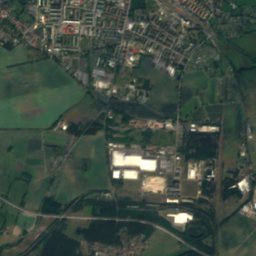
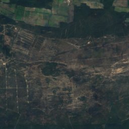
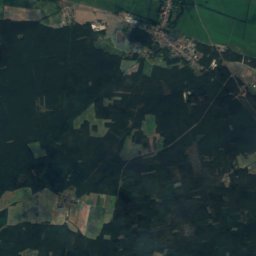
Satellite: Sentinel-2 cloudless 2016 by EOX IT Services GmbH · CC BY 4.0 · Contains modified Copernicus Sentinel data 2016
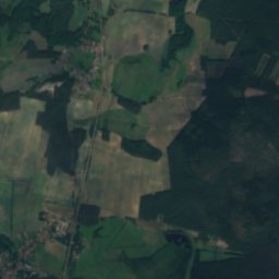
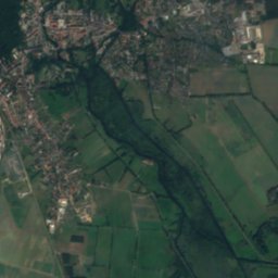
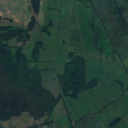
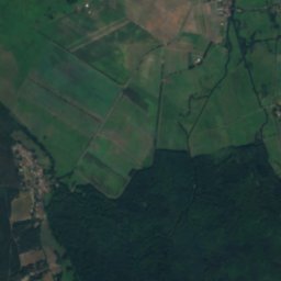
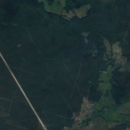
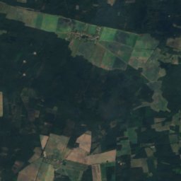
Lichte-SeeLake8.5 kmNWLichte-See
Stay nearby

Towns close by

Lubin
Photo: W. Bulach · CC BY-SA 4.0 · Wikimedia CommonsReport this photo · linked, not stored

Lubin

Brandenburg · 1.4 km S
14°Oct high
10wet days
51score
Lubin
Bersteland
Photo: Rheinlausitzer · CC BY-SA 4.0 · Wikimedia CommonsReport this photo · linked, not stored

Bersteland

Brandenburg · 8.2 km W
14°Oct high
10wet days
51score
Bersteland
Alt Zauche-Wußwerk
Photo: Angela M. Arnold, Berlin · CC BY-SA 3.0 · Wikimedia CommonsReport this photo · linked, not stored

Alt Zauche-Wußwerk

Brandenburg · 9.0 km SE
14°Oct high
10wet days
51score
Alt Zauche-Wußwerk
Schlepzig
Photo: Doris Antony, Berlin · CC BY-SA 3.0 · Wikimedia CommonsReport this photo · linked, not stored

Schlepzig

Brandenburg · 9.3 km N
14°Oct high
10wet days
51score
Schlepzig
Around here

Lubin and around

Lubin
Photo: W. Bulach · CC BY-SA 4.0 · Wikimedia CommonsReport this photo · linked, not stored

Lubin

Brandenburg · Germany
May–Jun · Sepbest months
26°July high
53 maltitude
Lubin

Nature

Briesener See
Photo: Spätburgunder · CC BY-SA 4.0 · Wikimedia CommonsReport this photo · linked, not stored
9.7 km E

Briesener See

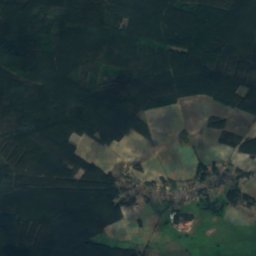
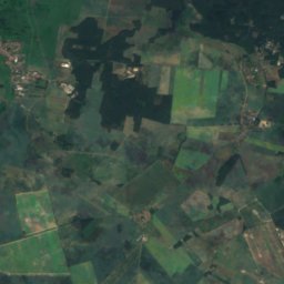
Lake · 49 m
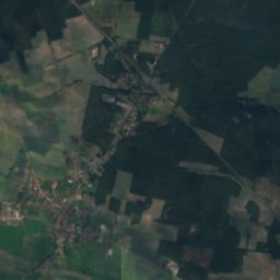
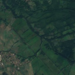
Briesener See
Satellite: Sentinel-2 cloudless 2016 by EOX IT Services GmbH · CC BY 4.0 · Contains modified Copernicus Sentinel data 2016
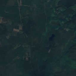
11 km SE

Uska Luke

River
Uska Luke
Inselteich (Schlepzig)
Photo: J.-H. Janßen · CC BY 4.0 · Wikimedia CommonsReport this photo · linked, not stored
8.8 km N

Inselteich (Schlepzig)

Lake · 46 m
Inselteich (Schlepzig)

Mountains

Satellite: Sentinel-2 cloudless 2016 by EOX IT Services GmbH · CC BY 4.0 · Contains modified Copernicus Sentinel data 2016
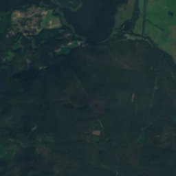
39 km W

Golmberg

178 m · Fläming Heath
Golmberg
Schwarzer Berg (Golßen)
Photo: Assenmacher · CC BY-SA 4.0 · Wikimedia CommonsReport this photo · linked, not stored
26 km W

Schwarzer Berg (Golßen)

144 m
Schwarzer Berg (Golßen)
Kolberg
Photo: Assenmacher · CC BY-SA 4.0 · Wikimedia CommonsReport this photo · linked, not stored
34 km N

Kolberg

91 m
Kolberg

Heritage

Paul Gerhardt church, Lubin
Photo: W. Bulach · CC BY-SA 4.0 · Wikimedia CommonsReport this photo · linked, not stored
0.8 km NE

Paul Gerhardt church, Lubin

architectural heritage monument
Paul Gerhardt church, Lubin
House of the Estates
Photo: J.-H. Janßen · CC BY-SA 4.0 · Wikimedia CommonsReport this photo · linked, not stored
0.8 km E

House of the Estates

architectural heritage monument in Brandenburg · 1722
House of the Estates
Schloss Lübben
Photo: J.-H. Janßen · CC BY-SA 4.0 · Wikimedia CommonsReport this photo · linked, not stored
0.8 km E

Schloss Lübben

architectural heritage monument in Brandenburg
Schloss Lübben

Museums

Museum Schloss Lübben
Photo: MC Krueger · CC BY-SA 4.0 · Wikimedia CommonsReport this photo · linked, not stored
0.8 km E

Museum Schloss Lübben

Regional museum
Museum Schloss Lübben
Schlepzig Farm Museum
Photo: Clemensfranz · CC BY-SA 3.0 · Wikimedia CommonsReport this photo · linked, not stored
9.9 km N

Schlepzig Farm Museum

1985
Schlepzig Farm Museum
Spreewaldmuseum
Photo: Olaf Meister · CC BY-SA 3.0 · Wikimedia CommonsReport this photo · linked, not stored
9.3 km SE

Spreewaldmuseum

1899
Spreewaldmuseum