

Photo: © Freak-Line-Community / Wikimedia Commons · CC BY-SA 3.0 · Wikimedia Commons
WulfbachReport this photo · linked, not stored
WulfbachWulfbachReport this photo · linked, not stored

Photo: Dances with Waves · CC BY-SA 4.0 · Wikimedia Commons
LippachReport this photo · linked, not stored
LippachLippachReport this photo · linked, not stored

Photo: Dennis Schubert · CC BY-SA 4.0 · Wikimedia Commons
Kesselbach (Danube)Report this photo · linked, not stored
Kesselbach (Danube)Kesselbach (Danube)Report this photo · linked, not stored
 Wandbühl
RiverFridingen an der Donau, Baden-Wurttemberg
Bära
River626 m elevationBest Jul–Sep
Elevation626 mabove sea level
Length24 kmsource to mouth
Nearest townFridingen an der Donau1.3 km
48.03° N, 8.93° EElevation 626 mUTC+1 · Central European Standard Time
When to goFridingen an der Donau · weather score
Best timeJul–Sep
October: high / low13° / 5°
River
Bära in brief
Bära is a river in Fridingen an der Donau, Baden-Wurttemberg, Germany.
It lies at 626 m above sea level.
The nearest town is Fridingen an der Donau, 1.3 km to the SW, where the weather is best in July, August and September.
Bära is 24 km long.
Weather nearby now
Forecast for Fridingen an der Donau10°
Rain now
Today
25 Oct
10°
4°
18 mm
Mon
26 Oct
11°
2°
Tue
27 Oct
17°
5°
Wed
28 Oct
12°
4°
Thu
29 Oct
11°
3°
Model run 00:00 UTCRefreshed several times a day
The course of the river
As mapped in OpenStreetMap, with the towns along its banks.- 1Königsheim895 m
- 2Renquishausen892 m
- 3Bärenthal778 m
- 4Irndorf838 m
- 5Beuron609 m
- 6Fridingen an der Donau627 m
sourcemouth (or where the mapped line leaves the country)
When to go
Climate of Fridingen an der DonauThe best months around Bära
Month score in Fridingen an der Donau
Comfort, dry days and sunshine · out of 10018
Jan
26
Feb
22
Mar
45
Apr
62
May
64
Jun
66
Jul
66
Aug
69
Sep
39
Oct
22
Nov
16
Dec
Map
Bära from above
Nature nearbyAll of Germany
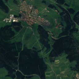
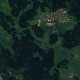
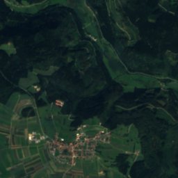
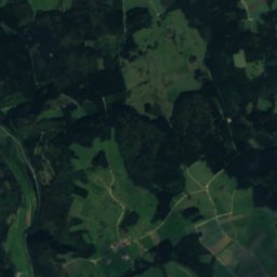
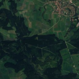
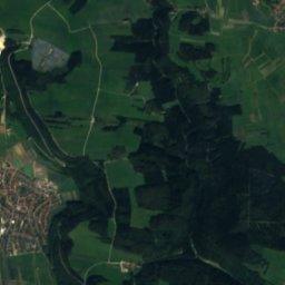
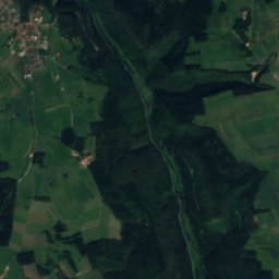
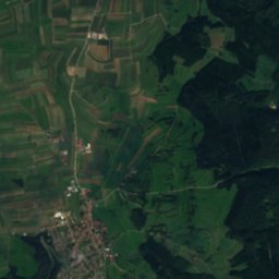
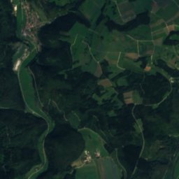
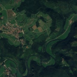
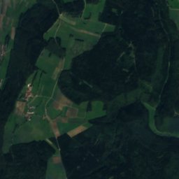
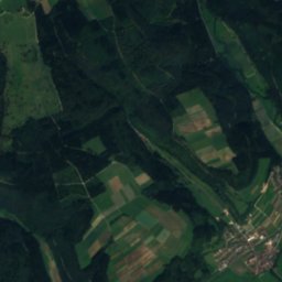
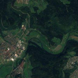
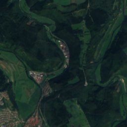
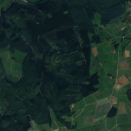
Satellite: Sentinel-2 cloudless 2016 by EOX IT Services GmbH · CC BY 4.0 · Contains modified Copernicus Sentinel data 2016

Photo: © Freak-Line-Community / Wikimedia Commons · CC BY-SA 3.0 · Wikimedia CommonsReport this photo · linked, not stored

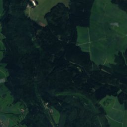
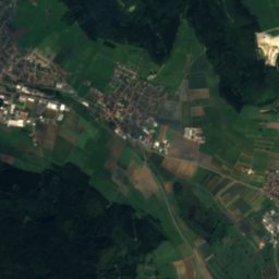
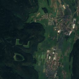
Satellite: Sentinel-2 cloudless 2016 by EOX IT Services GmbH · CC BY 4.0 · Contains modified Copernicus Sentinel data 2016

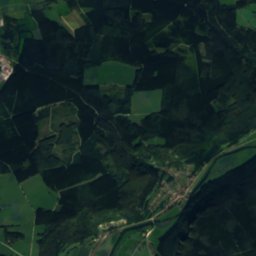
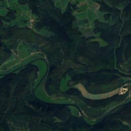
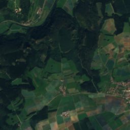
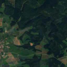
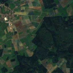
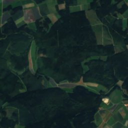
Satellite: Sentinel-2 cloudless 2016 by EOX IT Services GmbH · CC BY 4.0 · Contains modified Copernicus Sentinel data 2016
Summits nearbyMountains of Germany
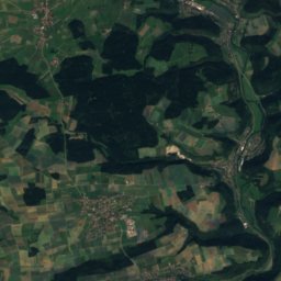
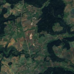
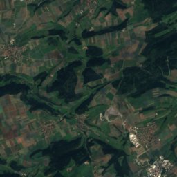
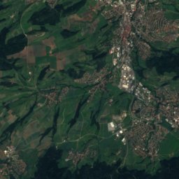
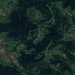
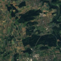
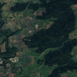
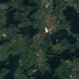
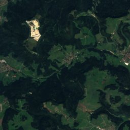
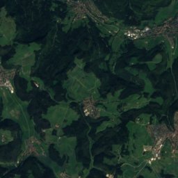
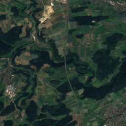
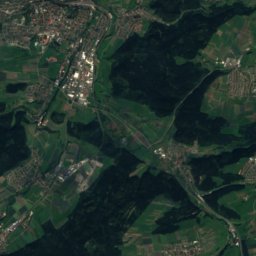
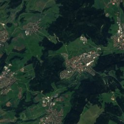
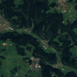
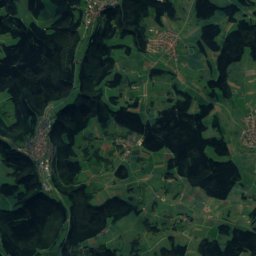
Satellite: Sentinel-2 cloudless 2016 by EOX IT Services GmbH · CC BY 4.0 · Contains modified Copernicus Sentinel data 2016


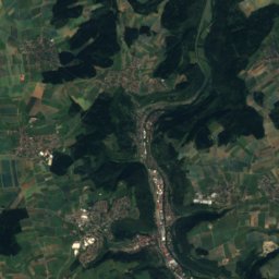
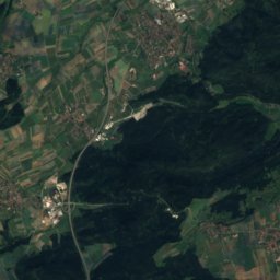
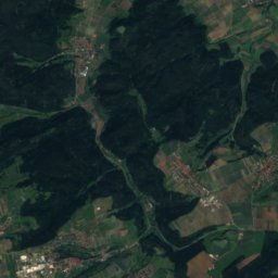
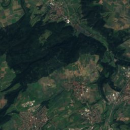
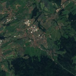
Satellite: Sentinel-2 cloudless 2016 by EOX IT Services GmbH · CC BY 4.0 · Contains modified Copernicus Sentinel data 2016

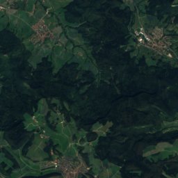
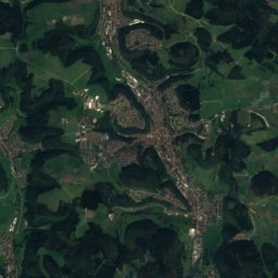
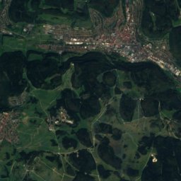
Satellite: Sentinel-2 cloudless 2016 by EOX IT Services GmbH · CC BY 4.0 · Contains modified Copernicus Sentinel data 2016
Stay nearby
Towns close by

Fridingen an der Donau
Baden-Wurttemberg · 1.3 km SW
13°Oct high
12wet days
39score


Around here
Fridingen an der Donau and around
Fridingen an der Donau
Baden-Wurttemberg · Germany
Jul–Sepbest months
23°July high
627 maltitude
Nature


Photo: © Freak-Line-Community / Wikimedia Commons · CC BY-SA 3.0 · Wikimedia CommonsReport this photo · linked, not stored
Wulfbach
River
Mountains
Satellite: Sentinel-2 cloudless 2016 by EOX IT Services GmbH · CC BY 4.0 · Contains modified Copernicus Sentinel data 2016
Lemberg (Swabian Jura)
1,016 m · Swabian Jura

Heritage


Sebastianskapelle (Mühlheim an der Donau)
Kulturdenkmal

Museums
Satellite: Sentinel-2 cloudless 2016 by EOX IT Services GmbH · CC BY 4.0 · Contains modified Copernicus Sentinel data 2016
Museum im Vorderen Schloss

Photo: Gebäude im Freilichtmuseum Neuhausen ob Eck; fotografiert und hochgeladen von AN · CC BY-SA 3.0 · Wikimedia CommonsReport this photo · linked, not stored
Freilichtmuseum Neuhausen ob Eck
Open-air museum · 1988


