Skip to content
Destinations
Weather & climate
Nature
Outdoors
Culture
Events
Sky & live
Bache
Photo: Spillunke · CC BY-SA 4.0 · Wikimedia Commons
BacheReport this photo · linked, not stored
Flickschuteich
Photo: Olaf Meister · CC BY-SA 4.0 · Wikimedia Commons
FlickschuteichReport this photo · linked, not stored
Flickschuteich
Kirchenheider Bach
Photo: Gregor Rom · CC BY-SA 4.0 · Wikimedia Commons
Kirchenheider BachReport this photo · linked, not stored
Kirchenheider Bach
Ihle, Saxony-Anhalt
Photo: Quotengrote · CC BY-SA 4.0 · Wikimedia Commons
Ihle, Saxony-AnhaltReport this photo · linked, not stored
Ihle, Saxony-Anhalt
Güldensee (Jerichower Land)
Photo: Georgfotoart · CC BY-SA 4.0 · Wikimedia Commons
Güldensee (Jerichower Land)Report this photo · linked, not stored
Güldensee (Jerichower Land)
RiverKüsel, Saxony-Anhalt

Bache

River41 m elevationBest May · Aug–Sep
Elevation41 mabove sea level
Length15 kmsource to mouth
Nearest townKüsel1.0 km
52.22° N, 12.06° EElevation 41 mUTC+1 · Central European Standard Time
When to goKüsel · weather score
JanFebMarAprMayJunJulAugSepOctNovDec49October
Best timeMay · Aug–Sep
October: high / low14° / 6°
River

Bache in brief

Bache is a river in Küsel, Saxony-Anhalt, Germany.

It lies at 41 m above sea level.

The nearest town is Küsel, 1.0 km to the NE, where the weather is best in May, August and September.

Bache is 15 km long.

Küsel: weather and travel guide

Weather nearby now

Forecast for Küsel
11°
Clear now
Wind14 km/h
Humidity89%
Cloud cover2%
Today
27 Oct
16°
6°
Wed
28 Oct
15°
6°
2 mm
Thu
29 Oct
13°
4°
Fri
30 Oct
14°
7°
Sat
31 Oct
12°
7°

Model run 00:00 UTCRefreshed several times a day

When to go

The best months around Bache

Climate of Küsel

Month score in Küsel

Comfort, dry days and sunshine · out of 100
17
Jan
25
Feb
25
Mar
63
Apr
72
May
68
Jun
64
Jul
69
Aug
74
Sep
49
Oct
22
Nov
17
Dec
Map

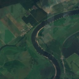
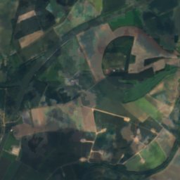
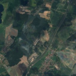
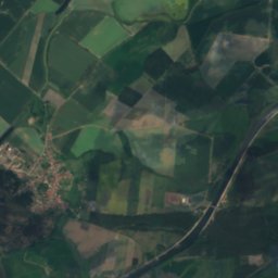
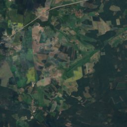
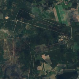
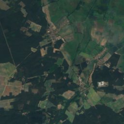
Bache from above

Nature nearbyAll of Germany
Photo: Olaf Meister · CC BY-SA 4.0 · Wikimedia CommonsReport this photo · linked, not stored
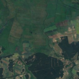
FlickschuteichLake14 kmWFlickschuteich
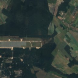
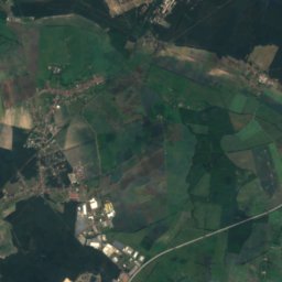
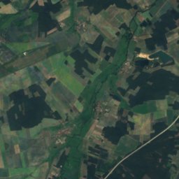
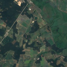
Satellite: Sentinel-2 cloudless 2016 by EOX IT Services GmbH · CC BY 4.0 · Contains modified Copernicus Sentinel data 2016
Güsen bathing pondLake15 kmNWGüsen bathing pond
Photo: Gregor Rom · CC BY-SA 4.0 · Wikimedia CommonsReport this photo · linked, not stored
Kirchenheider BachRiver15 kmEKirchenheider Bach
Photo: Quotengrote · CC BY-SA 4.0 · Wikimedia CommonsReport this photo · linked, not stored
Ihle, Saxony-AnhaltRiver16 kmNWIhle, Saxony-Anhalt
Photo: Georgfotoart · CC BY-SA 4.0 · Wikimedia CommonsReport this photo · linked, not stored
Güldensee (Jerichower Land)Lake16 kmNWGüldensee (Jerichower Land)
Photo: Georgfotoart · CC BY-SA 4.0 · Wikimedia CommonsReport this photo · linked, not stored
Gehrensche SeeLake17 kmNWGehrensche See
Summits nearbyMountains of Germany
Photo: Gregor Rom · CC BY-SA 4.0 · Wikimedia CommonsReport this photo · linked, not stored
Gollwitzer Berg22 km NE86 mJuly 25°Gollwitzer Berg
Photo: Gregor Rom · CC BY-SA 4.0 · Wikimedia CommonsReport this photo · linked, not stored
Friedens-Berg24 km NE68 mJuly 25°Friedens-Berg
Photo: Olaf2 · CC BY-SA 3.0 · Wikimedia CommonsReport this photo · linked, not stored
Fuchsberg24 km SW65 mJuly 26°Fuchsberg
Stay nearby

Towns close by

Küsel
Photo: Adnon · CC BY-SA 4.0 · Wikimedia CommonsReport this photo · linked, not stored

Küsel

Saxony-Anhalt · 1.0 km NE
14°Oct high
11wet days
49score
Küsel
Theeßen
Photo: Adnon · CC BY-SA 4.0 · Wikimedia CommonsReport this photo · linked, not stored

Theeßen

Saxony-Anhalt · 2.1 km NW
14°Oct high
11wet days
49score
Theeßen
Wüstenjerichow
Photo: Werner Buzan · CC BY-SA 4.0 · Wikimedia CommonsReport this photo · linked, not stored

Wüstenjerichow

Saxony-Anhalt · 4.1 km E
14°Oct high
11wet days
49score
Wüstenjerichow
Stresow
Photo: Clemensfranz · CC BY-SA 4.0 · Wikimedia CommonsReport this photo · linked, not stored

Stresow

Saxony-Anhalt · 4.9 km NW
14°Oct high
11wet days
50score
Stresow
Around here

Küsel and around

Küsel
Photo: Adnon · CC BY-SA 4.0 · Wikimedia CommonsReport this photo · linked, not stored

Küsel

Saxony-Anhalt · Germany
May · Aug–Sepbest months
25°July high
72 maltitude
Küsel

Nature

Ihle, Saxony-Anhalt
Photo: Quotengrote · CC BY-SA 4.0 · Wikimedia CommonsReport this photo · linked, not stored
16 km W

Ihle, Saxony-Anhalt

River
Ihle, Saxony-Anhalt
Strynzelbach
Photo: Gregor Rom · CC BY-SA 4.0 · Wikimedia CommonsReport this photo · linked, not stored
18 km E

Strynzelbach

River
Strynzelbach
Geuenbach
Photo: Gregor Rom · CC BY-SA 4.0 · Wikimedia CommonsReport this photo · linked, not stored
17 km E

Geuenbach

River
Geuenbach

Mountains

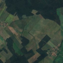
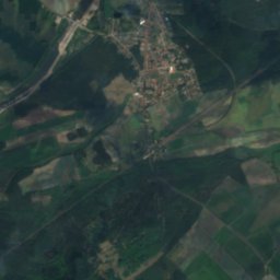
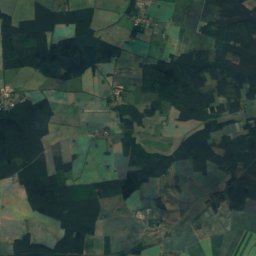
Satellite: Sentinel-2 cloudless 2016 by EOX IT Services GmbH · CC BY 4.0 · Contains modified Copernicus Sentinel data 2016
32 km E

Hagelberg

200 m · Fläming Heath
Hagelberg
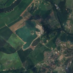
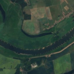
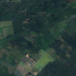
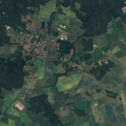
Satellite: Sentinel-2 cloudless 2016 by EOX IT Services GmbH · CC BY 4.0 · Contains modified Copernicus Sentinel data 2016
39 km E

Heideberg (Grevesmühlen)

113 m
Heideberg (Grevesmühlen)
Gollwitzer Berg
Photo: Gregor Rom · CC BY-SA 4.0 · Wikimedia CommonsReport this photo · linked, not stored
21 km NE

Gollwitzer Berg

86 m
Gollwitzer Berg

Heritage

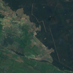
Satellite: Sentinel-2 cloudless 2016 by EOX IT Services GmbH · CC BY 4.0 · Contains modified Copernicus Sentinel data 2016
2.0 km E

Gut Waldrogäsen

heritage monument in Saxony-Anhalt
Gut Waldrogäsen
Schloss Wendgräben
Photo: Doris Antony, Berlin · CC BY-SA 3.0 · Wikimedia CommonsReport this photo · linked, not stored
9.0 km S

Schloss Wendgräben

Kulturdenkmal
Schloss Wendgräben
Schloss Ringelsdorf
Photo: Migebert · CC BY-SA 3.0 · Wikimedia CommonsReport this photo · linked, not stored
5.7 km NE

Schloss Ringelsdorf

heritage monument in Saxony-Anhalt
Schloss Ringelsdorf

Museums

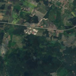
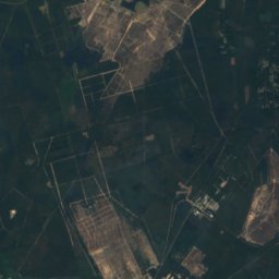
Satellite: Sentinel-2 cloudless 2016 by EOX IT Services GmbH · CC BY 4.0 · Contains modified Copernicus Sentinel data 2016
2.0 km NW

Kfz-Sammlung Krüssau

Kfz-Sammlung Krüssau
Satellite: Sentinel-2 cloudless 2016 by EOX IT Services GmbH · CC BY 4.0 · Contains modified Copernicus Sentinel data 2016
6.3 km W

Museum Friedensau

Museum Friedensau
Satellite: Sentinel-2 cloudless 2016 by EOX IT Services GmbH · CC BY 4.0 · Contains modified Copernicus Sentinel data 2016
13 km SW

Heimatstube 1813 im Schloss Möckern

Heimatstube 1813 im Schloss Möckern