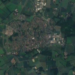
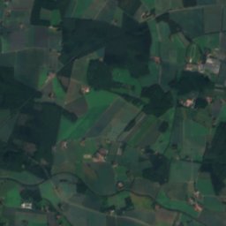
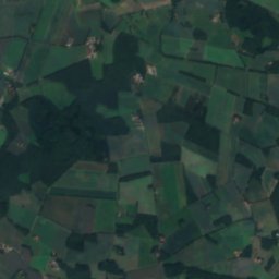
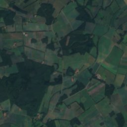
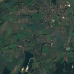
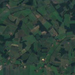
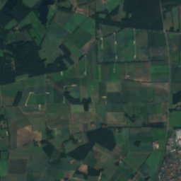
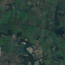
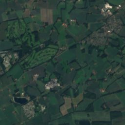
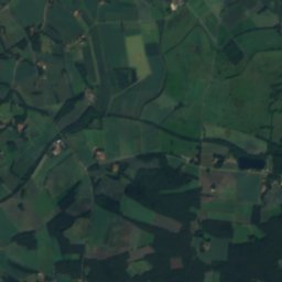
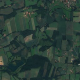
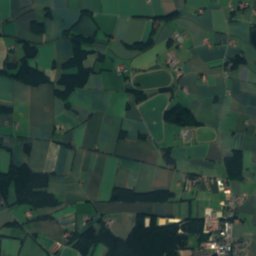
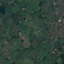
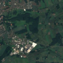
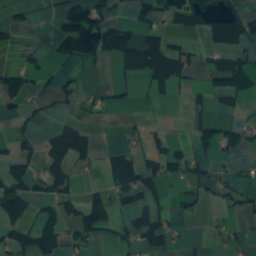
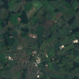
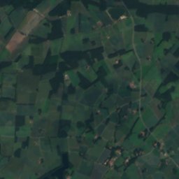
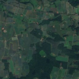
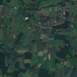
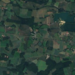
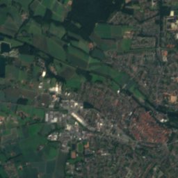
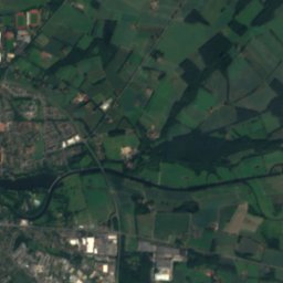
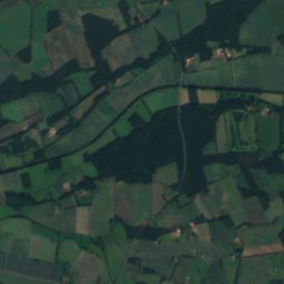
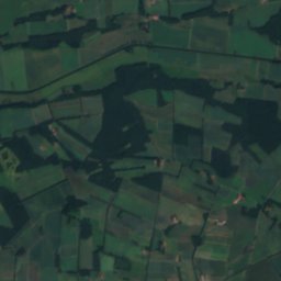
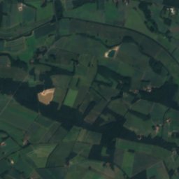
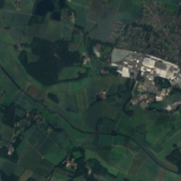
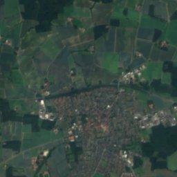
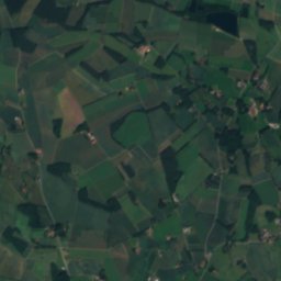
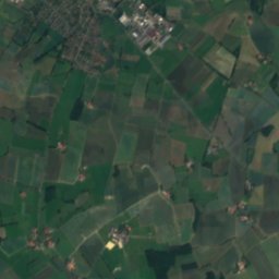
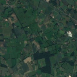
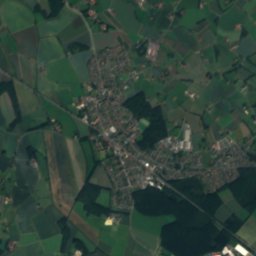
Satellite: Sentinel-2 cloudless 2016 by EOX IT Services GmbH · CC BY 4.0 · Contains modified Copernicus Sentinel data 2016
 Hessel
 Rhedaer Bach

Photo: Hagar66 · CC BY-SA 3.0 · Wikimedia Commons
Aabach (Hessel)Report this photo · linked, not stored
Aabach (Hessel)Aabach (Hessel)Report this photo · linked, not stored
Alte HesselRiverWarendorf, North Rhine-Westphalia
Axtbach
River51 m elevationBest May–Jun · Sep
Elevation51 mabove sea level
Length34 kmsource to mouth
Nearest townWarendorf3.4 km
51.96° N, 8.04° EElevation 51 mUTC+1 · Central European Standard Time
When to goWarendorf · weather score
Best timeMay–Jun · Sep
October: high / low15° / 7°
River
Axtbach in brief
Axtbach is a river in Warendorf, North Rhine-Westphalia, Germany.
It lies at 51 m above sea level.
The nearest town is Warendorf, 3.4 km to the W, where the weather is best in May, June and September.
Axtbach is 34 km long.
Weather nearby now
Forecast for Warendorf14°
Rain now
Today
27 Oct
17°
10°
1 mm
Wed
28 Oct
14°
7°
1 mm
Thu
29 Oct
15°
7°
Fri
30 Oct
13°
5°
Sat
31 Oct
12°
5°
Model run 00:00 UTCRefreshed several times a day
Map
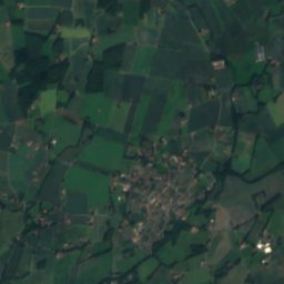
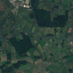
Axtbach from above
Nature nearbyAll of Germany
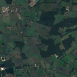
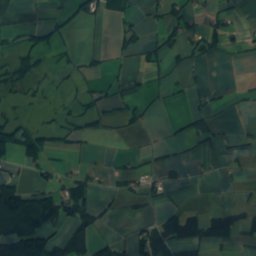
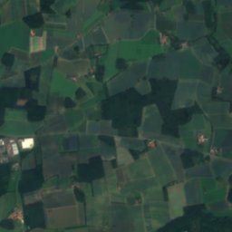
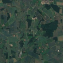
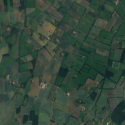
Satellite: Sentinel-2 cloudless 2016 by EOX IT Services GmbH · CC BY 4.0 · Contains modified Copernicus Sentinel data 2016


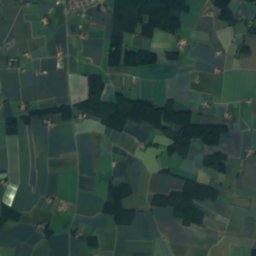
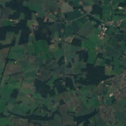
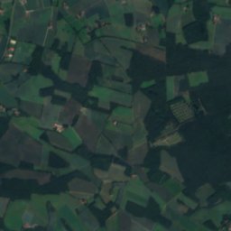
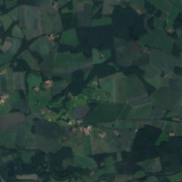
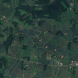
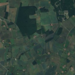
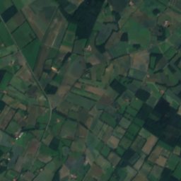
Satellite: Sentinel-2 cloudless 2016 by EOX IT Services GmbH · CC BY 4.0 · Contains modified Copernicus Sentinel data 2016
Summits nearbyMountains of Germany


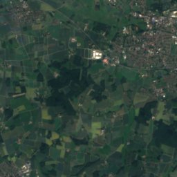
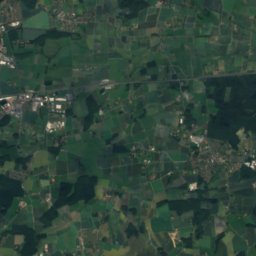
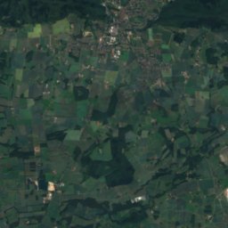
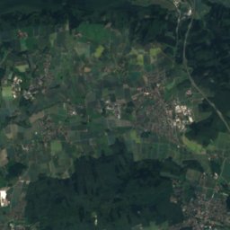
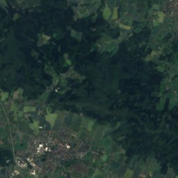
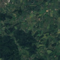
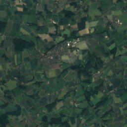
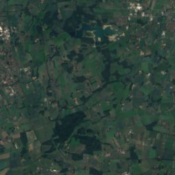
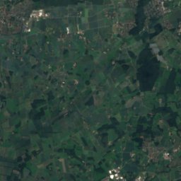
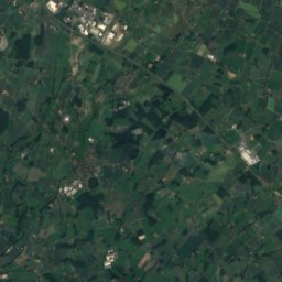
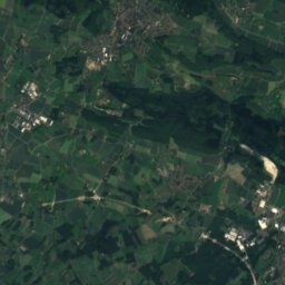
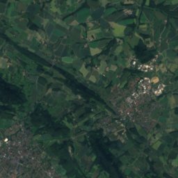
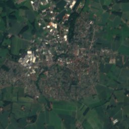
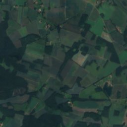
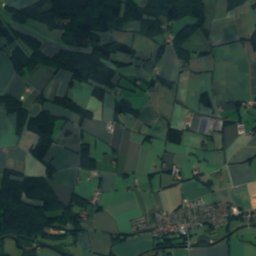
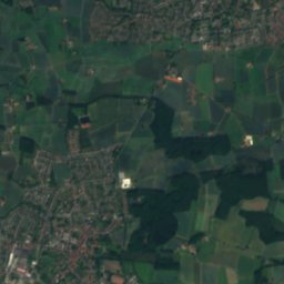
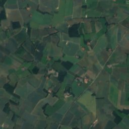
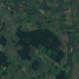
Satellite: Sentinel-2 cloudless 2016 by EOX IT Services GmbH · CC BY 4.0 · Contains modified Copernicus Sentinel data 2016


Stay nearby
Towns close by


Around here
Warendorf and around
Nature
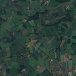
Satellite: Sentinel-2 cloudless 2016 by EOX IT Services GmbH · CC BY 4.0 · Contains modified Copernicus Sentinel data 2016
Holzbach (Ems)
River
Satellite: Sentinel-2 cloudless 2016 by EOX IT Services GmbH · CC BY 4.0 · Contains modified Copernicus Sentinel data 2016
Frankenbach
River · 49 m
Mountains


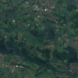
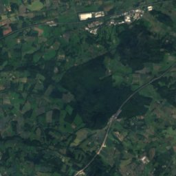
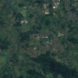
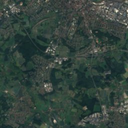
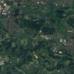
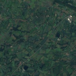
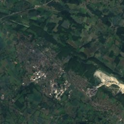
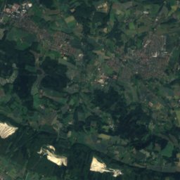
Satellite: Sentinel-2 cloudless 2016 by EOX IT Services GmbH · CC BY 4.0 · Contains modified Copernicus Sentinel data 2016
Grafensundern
315 m · Teutoburg Forest
Heritage

St. Johannes der Täufer, Warendorf
architectural heritage monument in North Rhine-Westphalia

Photo: Rüdiger Wölk This photo was taken by Rüdiger Wölk. Please credit this photo Rüdi · CC BY-SA 2.5 · Wikimedia CommonsReport this photo · linked, not stored
Marienkirche, Warendorf
Kulturdenkmal

Museums


Relígio, Westfälisches Museum für religiöse Kultur
1934


