
Photo: © Freak-Line-Community / Wikimedia Commons · CC BY-SA 3.0 · Wikimedia Commons
AuraReport this photo · linked, not stored
AuraReport this photo · linked, not stored

Photo: © Freak-Line-Community / Wikimedia Commons · CC BY-SA 3.0 · Wikimedia Commons
SahlenseeReport this photo · linked, not stored
SahlenseeSahlenseeReport this photo · linked, not stored

Photo: © Freak-Line-Community / Wikimedia Commons · CC BY-SA 3.0 · Wikimedia Commons
FellachReport this photo · linked, not stored
FellachFellachReport this photo · linked, not stored

Photo: © Freak-Line-Community / Wikimedia Commons · CC BY-SA 3.0 · Wikimedia Commons
MohrenbachReport this photo · linked, not stored
MohrenbachMohrenbachReport this photo · linked, not stored

Photo: © Freak-Line-Community / Wikimedia Commons · CC BY-SA 3.0 · Wikimedia Commons
Steinbach (Jossa)Report this photo · linked, not stored
Steinbach (Jossa)Steinbach (Jossa)Report this photo · linked, not stored
RiverAura im Sinngrund, Bavaria
Aura
River183 m elevationBest Jun · Aug–Sep
Elevation183 mabove sea level
Length8.4 kmsource to mouth
Nearest townAura im Sinngrund2.4 km
50.19° N, 9.55° EElevation 183 mUTC+1 · Central European Standard Time
When to goAura im Sinngrund · weather score
Best timeJun · Aug–Sep
October: high / low13° / 5°
River
Aura in brief
Aura is a river in Aura im Sinngrund, Bavaria, Germany.
It lies at 183 m above sea level.
The nearest town is Aura im Sinngrund, 2.4 km to the SE, where the weather is best in June, August and September.
Aura is 8.4 km long.
Weather nearby now
Forecast for Aura im Sinngrund9°
Cloudy now
Today
27 Oct
16°
8°
Wed
28 Oct
13°
5°
Thu
29 Oct
13°
1°
Fri
30 Oct
13°
2°
Sat
31 Oct
11°
2°
Model run 12:00 UTCRefreshed several times a day
When to go
Climate of Aura im SinngrundThe best months around Aura
Month score in Aura im Sinngrund
Comfort, dry days and sunshine · out of 10015
Jan
23
Feb
23
Mar
55
Apr
66
May
67
Jun
65
Jul
67
Aug
73
Sep
40
Oct
17
Nov
13
Dec
Map
Aura from above
Nature nearbyAll of Germany
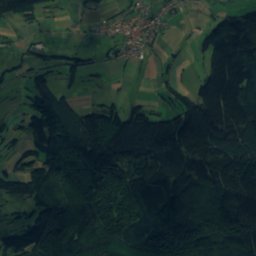
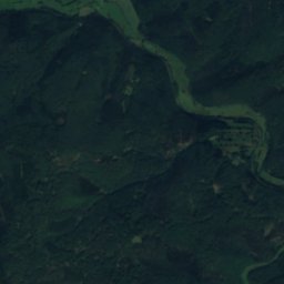
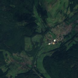
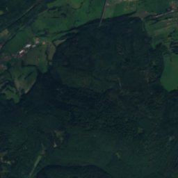
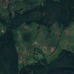
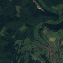
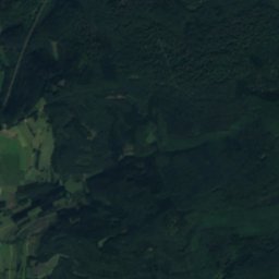
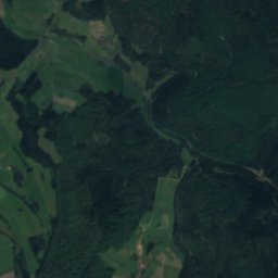
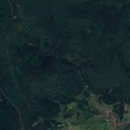
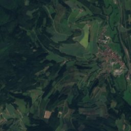
Satellite: Sentinel-2 cloudless 2016 by EOX IT Services GmbH · CC BY 4.0 · Contains modified Copernicus Sentinel data 2016

Photo: © Freak-Line-Community / Wikimedia Commons · CC BY-SA 3.0 · Wikimedia CommonsReport this photo · linked, not stored

Photo: © Freak-Line-Community / Wikimedia Commons · CC BY-SA 3.0 · Wikimedia CommonsReport this photo · linked, not stored

Photo: © Freak-Line-Community / Wikimedia Commons · CC BY-SA 3.0 · Wikimedia CommonsReport this photo · linked, not stored

Photo: © Freak-Line-Community / Wikimedia Commons · CC BY-SA 3.0 · Wikimedia CommonsReport this photo · linked, not stored

Photo: © Freak-Line-Community / Wikimedia Commons · CC BY-SA 3.0 · Wikimedia CommonsReport this photo · linked, not stored
Summits nearbyMountains of Germany

Photo: J. Braukmann Milseburg · CC BY-SA 3.0 · Wikimedia CommonsReport this photo · linked, not stored


Photo: J. Braukmann Milseburg · CC BY-SA 3.0 · Wikimedia CommonsReport this photo · linked, not stored

Photo: J. Braukmann Milseburg · CC BY-SA 3.0 · Wikimedia CommonsReport this photo · linked, not stored
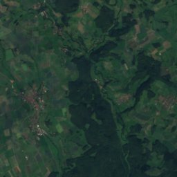
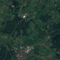
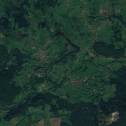
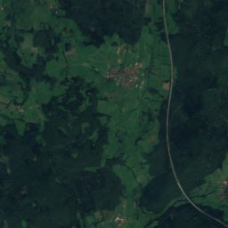
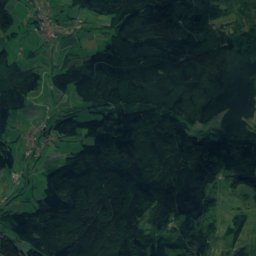
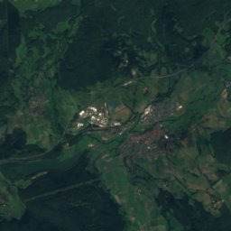
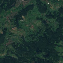
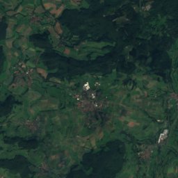
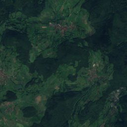
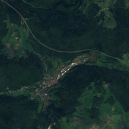
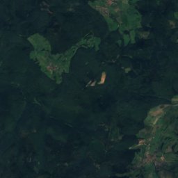
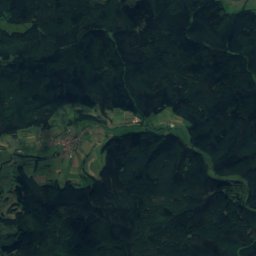
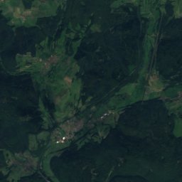
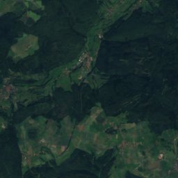
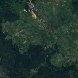
Satellite: Sentinel-2 cloudless 2016 by EOX IT Services GmbH · CC BY 4.0 · Contains modified Copernicus Sentinel data 2016

Stay nearby
Towns close by


Photo: Freak-Line-Community · Public domain · Wikimedia CommonsReport this photo · linked, not stored
Fellen
Bavaria · 5.3 km SE
14°Oct high
12wet days
42score
Around here
Aura im Sinngrund and around

Aura im Sinngrund
Bavaria · Germany
Jun · Aug–Sepbest months
24°July high
283 maltitude
Nature

Photo: © Freak-Line-Community / Wikimedia Commons · CC BY-SA 3.0 · Wikimedia CommonsReport this photo · linked, not stored
Jossa, Bavaria
River
Photo: © Freak-Line-Community / Wikimedia Commons · CC BY-SA 3.0 · Wikimedia CommonsReport this photo · linked, not stored
Fellach
River · 225 m

Photo: © Freak-Line-Community / Wikimedia Commons · CC BY-SA 3.0 · Wikimedia CommonsReport this photo · linked, not stored
Lohrbach (Lohr)
River
Mountains

Photo: Dieter Schmitt, Fulda (DSC) · CC BY 3.0 · Wikimedia CommonsReport this photo · linked, not stored
Dammersfeldkuppe
928 m · Rhön Mountains


Photo: Dieter Schmitt, Fulda DSC · CC BY 3.0 · Wikimedia CommonsReport this photo · linked, not stored
Eierhauckberg
910 m · Rhön Mountains
Heritage


Trinity Church (Zeitlofs)
architectural heritage monument in Bavaria · 1740


