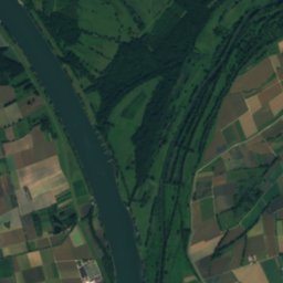
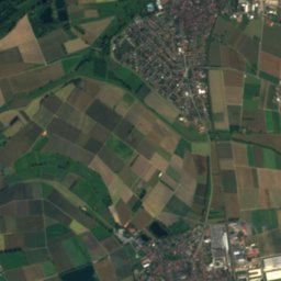
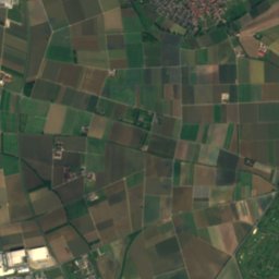
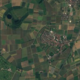
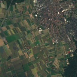
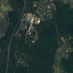
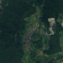
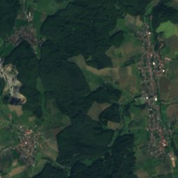
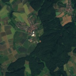
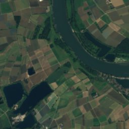
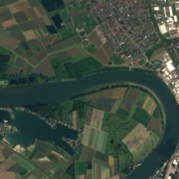
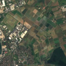
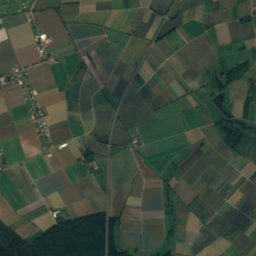
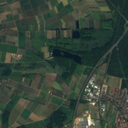
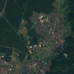
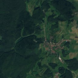
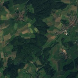
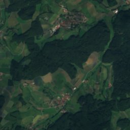
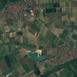
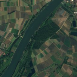
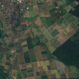
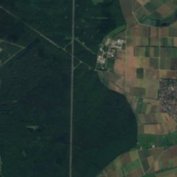
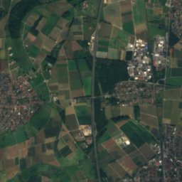
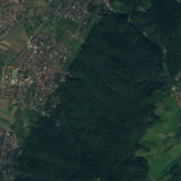
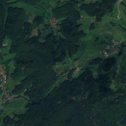
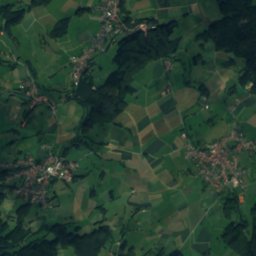
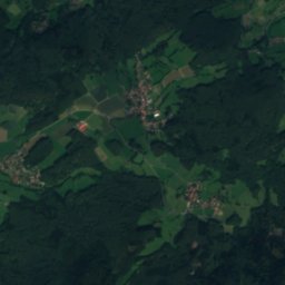
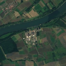
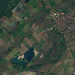
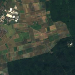
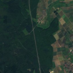
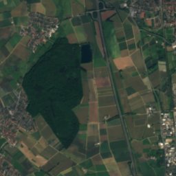
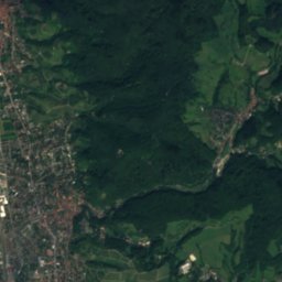
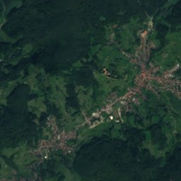
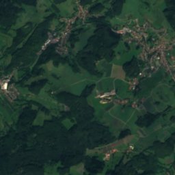
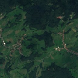
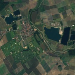
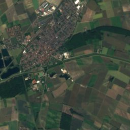
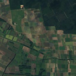
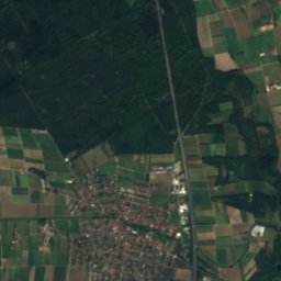
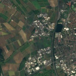
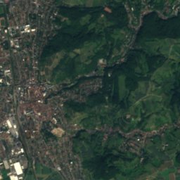
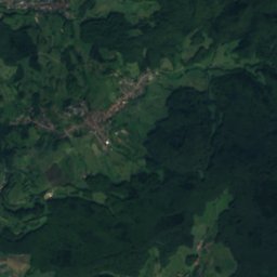
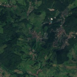
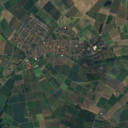
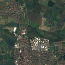
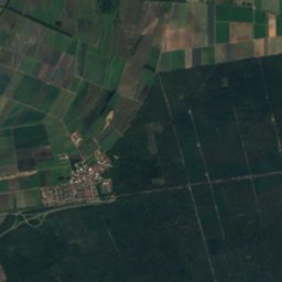
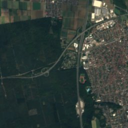
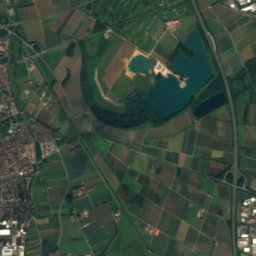
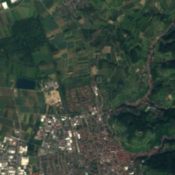
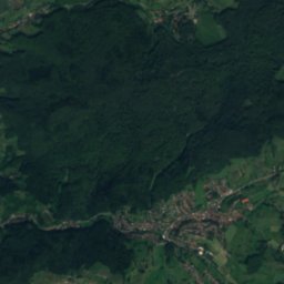
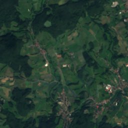
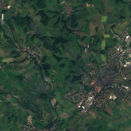
Satellite: Sentinel-2 cloudless 2016 by EOX IT Services GmbH · CC BY 4.0 · Contains modified Copernicus Sentinel data 2016

Photo: Alocasia63 · CC BY 4.0 · Wikimedia Commons
NiederwaldseeReport this photo · linked, not stored
NiederwaldseeNiederwaldseeReport this photo · linked, not stored

Photo: Axel Polsfuss · CC BY-SA 4.0 · Wikimedia Commons
Erlensee, HesseReport this photo · linked, not stored
Erlensee, HesseErlensee, HesseReport this photo · linked, not stored

Photo: Samueelep · CC BY 4.0 · Wikimedia Commons
Bruchsee, HesseReport this photo · linked, not stored
Bruchsee, HesseBruchsee, HesseReport this photo · linked, not stored

Photo: I, Kuebi · CC BY-SA 3.0 · Wikimedia Commons
Lauter (Odenwald)Report this photo · linked, not stored
Lauter (Odenwald)Lauter (Odenwald)Report this photo · linked, not stored
RiverBensheim, Hesse
Auer
RiverBest May–Jun · Sep
Elevation–above sea level
Length6.7 kmsource to mouth
Nearest townBensheim2.4 km
49.70° N, 8.60° EUTC+2 · Central European Summer Time
When to goBensheim · weather score
Best timeMay–Jun · Sep
October: high / low15° / 7°
River
Auer in brief
Auer is a river in Bensheim, Hesse, Germany.
The nearest town is Bensheim, 2.4 km to the SE, where the weather is best in May, June and September.
Auer is 6.7 km long.
Weather nearby now
Forecast for Bensheim10°
Rain now
Today
24 Oct
13°
6°
4 mm
Sun
25 Oct
14°
7°
21 mm
Mon
26 Oct
14°
8°
1 mm
Tue
27 Oct
18°
9°
1 mm
Wed
28 Oct
15°
8°
1 mm
Model run 00:00 UTCRefreshed several times a day
Map
Auer from above
Nature nearbyAll of Germany


Photo: © Freak-Line-Community / Wikimedia Commons · CC BY-SA 3.0 · Wikimedia CommonsReport this photo · linked, not stored

Photo: © Freak-Line-Community / Wikimedia Commons · CC BY-SA 3.0 · Wikimedia CommonsReport this photo · linked, not stored
Summits nearbyMountains of Germany

Photo: Jörg Braukmann Milseburg · CC BY-SA 3.0 · Wikimedia CommonsReport this photo · linked, not stored


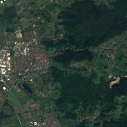
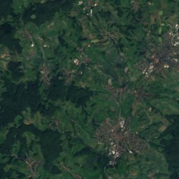
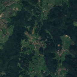
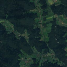
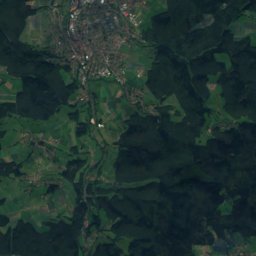
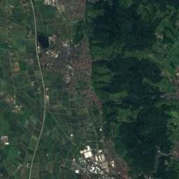
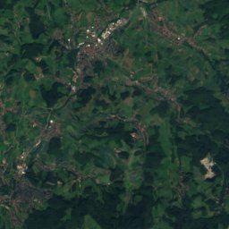
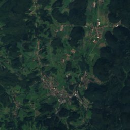
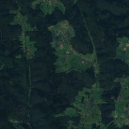
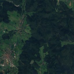
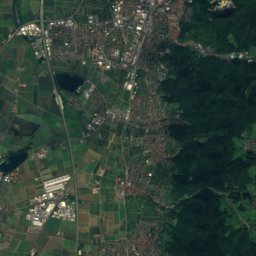
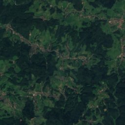
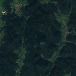
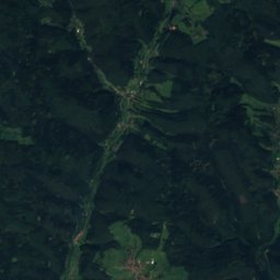
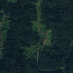
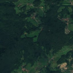
Satellite: Sentinel-2 cloudless 2016 by EOX IT Services GmbH · CC BY 4.0 · Contains modified Copernicus Sentinel data 2016
Stay nearby
Towns close by

Photo: Kuebi = Armin Kübelbeck · CC BY-SA 3.0 · Wikimedia CommonsReport this photo · linked, not stored
Bensheim
Hesse · 2.4 km SE
15°Oct high
11wet days
54score

Photo: Photonpoet at the English-language Wikipedia · CC BY-SA 3.0 · Wikimedia CommonsReport this photo · linked, not stored
Zwingenberg
Hesse · 2.5 km N
15°Oct high
11wet days
54score


Around here
Bensheim and around
Photo: Kuebi = Armin Kübelbeck · CC BY-SA 3.0 · Wikimedia CommonsReport this photo · linked, not stored
Bensheim
Hesse · Germany
May–Jun · Sepbest months
26°July high
103 maltitude
Nature

Photo: © Freak-Line-Community / Wikimedia Commons · CC BY-SA 3.0 · Wikimedia CommonsReport this photo · linked, not stored
Mergbach
River
Mountains


Photo: Jörg Braukmann Milseburg · CC BY-SA 3.0 · Wikimedia CommonsReport this photo · linked, not stored
Neunkircher Höhe
605 m · Odenwald

Heritage


Photo: German Wikipedia user Kuebi · CC BY-SA 3.0 · Wikimedia CommonsReport this photo · linked, not stored
Bensheim station
cultural heritage monument in Hesse · 1846

Photo: Kuebi = Armin Kübelbeck · CC BY-SA 3.0 · Wikimedia CommonsReport this photo · linked, not stored
Schloss Schönberg
cultural heritage monument in Hesse · 1201
Museums

Photo: Thomas Neu, MuseumBensheim · CC BY-SA 4.0 · Wikimedia CommonsReport this photo · linked, not stored
Museum Bensheim
1909


