
 Geseker Bach
 Rißneibach

Photo: Petra Klawikowski · CC BY-SA 3.0 · Wikimedia Commons
Biber, North Rhine-WestphaliaReport this photo · linked, not stored
Biber, North Rhine-WestphaliaBiber, North Rhine-WestphaliaReport this photo · linked, not stored

Photo: Jörg Braukmann · CC BY-SA 4.0 · Wikimedia Commons
OlsbergReport this photo · linked, not stored
OlsbergOlsbergReport this photo · linked, not stored
RiverBüren, North Rhine-Westphalia
Afte
River210 m elevationBest May–Jun · Sep
Elevation210 mabove sea level
Length24 kmsource to mouth
Nearest townBüren0.8 km
51.56° N, 8.56° EElevation 210 mUTC+1 · Central European Standard Time
When to goBüren · weather score
Best timeMay–Jun · Sep
October: high / low14° / 6°
River
Afte in brief
Afte is a river in Büren, North Rhine-Westphalia, Germany.
It lies at 210 m above sea level.
The nearest town is Büren, 0.8 km to the S, where the weather is best in May, June and September.
Afte is 24 km long.
Weather nearby now
Forecast for Büren12°
Partly cloudy now
Today
28 Oct
13°
6°
Thu
29 Oct
14°
7°
Fri
30 Oct
13°
6°
Sat
31 Oct
10°
5°
Sun
1 Nov
10°
5°
Model run 00:00 UTCRefreshed several times a day
The course of the river
As mapped in OpenStreetMap, with the towns along its banks.- 1Bad Wünnenberg289 m
- 2Büren243 m
sourcemouth (or where the mapped line leaves the country)
Map
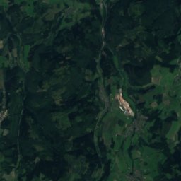
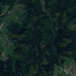
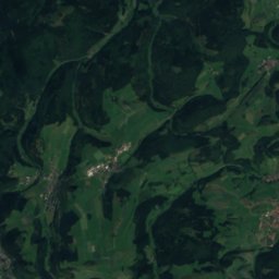
Afte from above
Nature nearbyAll of Germany
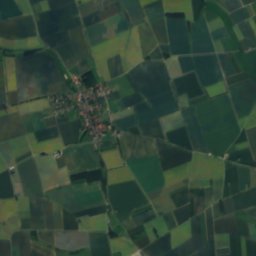
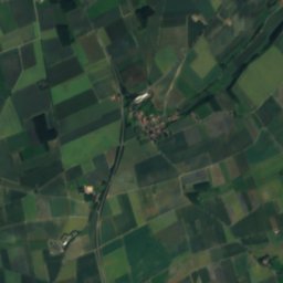
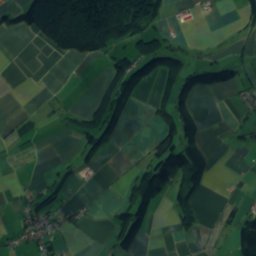
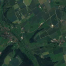
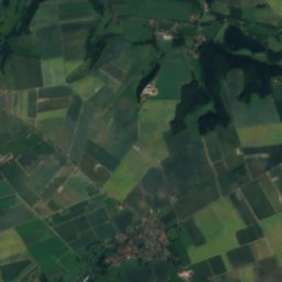
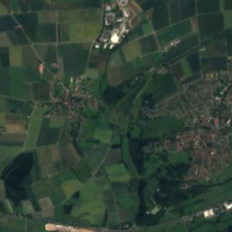
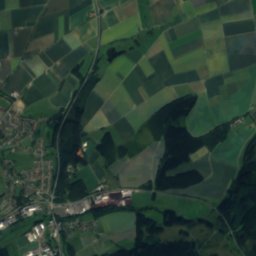
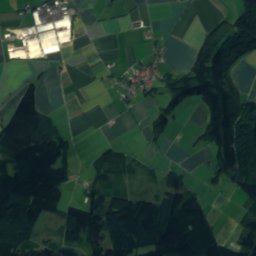
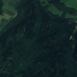
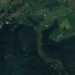
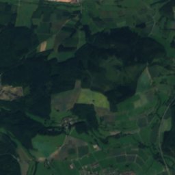
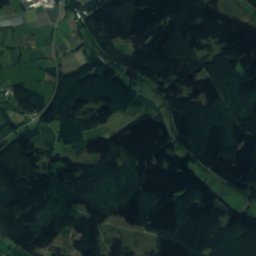
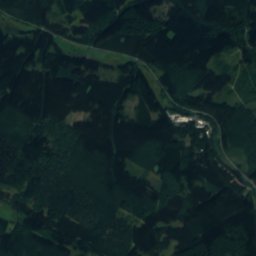
Satellite: Sentinel-2 cloudless 2016 by EOX IT Services GmbH · CC BY 4.0 · Contains modified Copernicus Sentinel data 2016
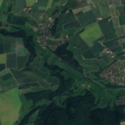
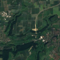
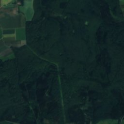
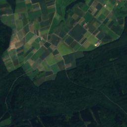
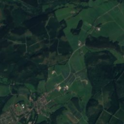
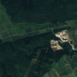
Satellite: Sentinel-2 cloudless 2016 by EOX IT Services GmbH · CC BY 4.0 · Contains modified Copernicus Sentinel data 2016

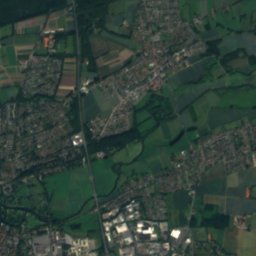
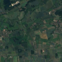
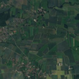
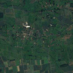
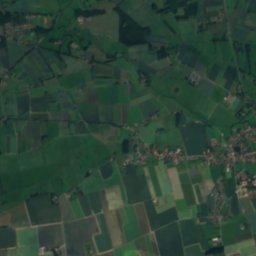
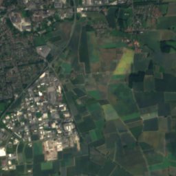
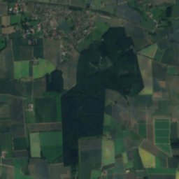
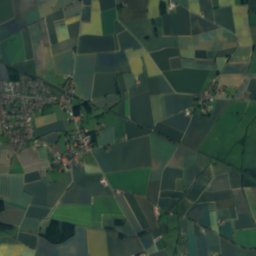
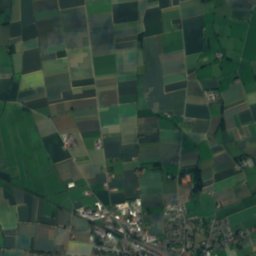
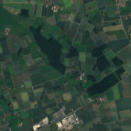
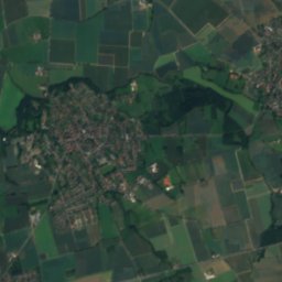
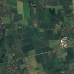
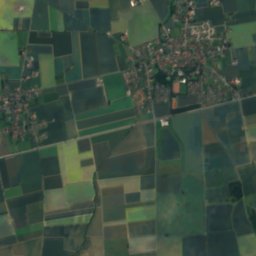
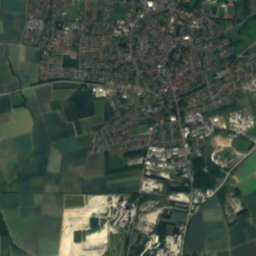
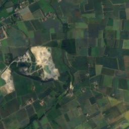
Satellite: Sentinel-2 cloudless 2016 by EOX IT Services GmbH · CC BY 4.0 · Contains modified Copernicus Sentinel data 2016


Summits nearbyMountains of Germany


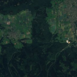
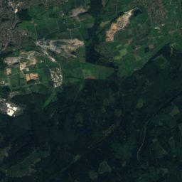
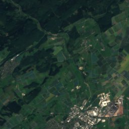
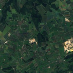
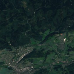
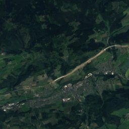
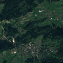
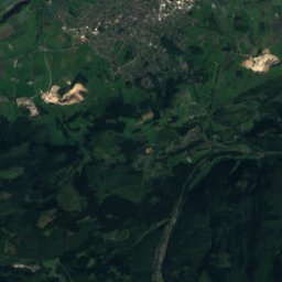
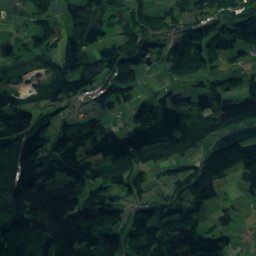
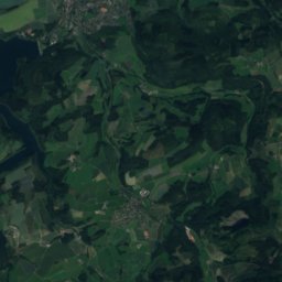
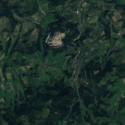
Satellite: Sentinel-2 cloudless 2016 by EOX IT Services GmbH · CC BY 4.0 · Contains modified Copernicus Sentinel data 2016

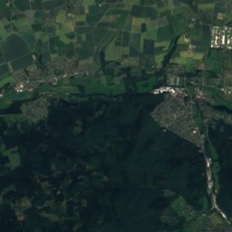
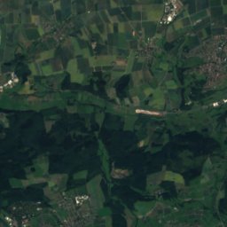
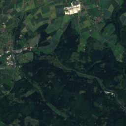
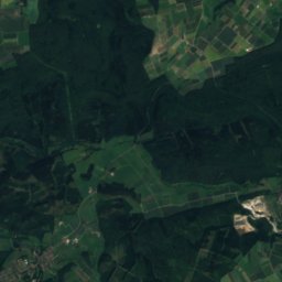
Satellite: Sentinel-2 cloudless 2016 by EOX IT Services GmbH · CC BY 4.0 · Contains modified Copernicus Sentinel data 2016
Stay nearby
Towns close by


Photo: Anton Dreier bzw. Kulturring Störmede · CC BY-SA 3.0 · Wikimedia CommonsReport this photo · linked, not stored
Geseke
North Rhine-Westphalia · 9.7 km N
14°Oct high
12wet days
45score

Around here
Büren and around
Nature

Photo: THWler 33142 at German Wikipedia · Public domain · Wikimedia CommonsReport this photo · linked, not stored
Harlebach
River

Mountains


Heritage

Photo: Ansicht_Jesuitenkirche_von_Süden.jpg: Felix Stember derivative work: Wladyslaw ( · CC BY-SA 3.0 · Wikimedia CommonsReport this photo · linked, not stored
Maria Immaculata, Büren
architectural heritage monument in North Rhine-Westphalia

Mauritius-Gymnasium Büren
architectural heritage monument in North Rhine-Westphalia · 1925

Museums

Photo: 570_Wewelsburg.JPG: Harald Köster, Bochum, Germany derivative work: Alupus (talk · CC BY-SA 2.5 · Wikimedia CommonsReport this photo · linked, not stored
Historisches Museum des Hochstifts Paderborn
Local museum
Satellite: Sentinel-2 cloudless 2016 by EOX IT Services GmbH · CC BY 4.0 · Contains modified Copernicus Sentinel data 2016
Kreismuseum Wewelsburg


Satellite: Sentinel-2 cloudless 2016 by EOX IT Services GmbH · CC BY 4.0 · Contains modified Copernicus Sentinel data 2016
Deutsches Polizeimuseum e.V.
Police museum