Skip to content
Destinations
Weather & climate
Nature
Outdoors
Culture
Events
Sky & live
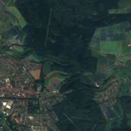
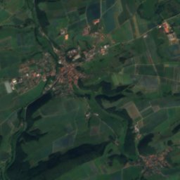
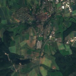
Satellite: Sentinel-2 cloudless 2016 by EOX IT Services GmbH · CC BY 4.0 · Contains modified Copernicus Sentinel data 2016
Hoppecke
Photo: SteveK · CC BY-SA 3.0 · Wikimedia Commons
HoppeckeReport this photo · linked, not stored
Hoppecke
Rhene
Photo: SteveK · CC BY-SA 3.0 · Wikimedia Commons
RheneReport this photo · linked, not stored
Rhene
Hoher Eimberg
Photo: User: Celsius at wikivoyage shared · CC BY-SA 3.0 · Wikimedia Commons
Hoher EimbergReport this photo · linked, not stored
Hoher Eimberg
Hohe Pön
Photo: BP Photo · CC0 · Wikimedia Commons
Hohe PönReport this photo · linked, not stored
Hohe Pön
RiverBad Arolsen, Hesse

Aar

River186 m elevationBest May–Jun · Sep
Elevation186 mabove sea level
Length14 kmsource to mouth
Nearest townBad Arolsen5.3 km
51.37° N, 8.94° EElevation 186 mUTC+1 · Central European Standard Time
When to goBad Arolsen · weather score
JanFebMarAprMayJunJulAugSepOctNovDec38October
Best timeMay–Jun · Sep
October: high / low13° / 6°
River

Aar in brief

Aar is a river in Bad Arolsen, Hesse, Germany.

It lies at 186 m above sea level.

The nearest town is Bad Arolsen, 5.3 km to the E, where the weather is best in May, June and September.

Aar is 14 km long.

Bad Arolsen: weather and travel guide

Weather nearby now

Forecast for Bad Arolsen
6°
Cloudy now
Wind3 km/h
Humidity98%
Cloud cover100%
Today
30 Oct
11°
4°
Sat
31 Oct
10°
5°
Sun
1 Nov
9°
5°
Mon
2 Nov
9°
3°
Tue
3 Nov
7°
0°

Model run 00:00 UTCRefreshed several times a day

When to go

The best months around Aar

Climate of Bad Arolsen

Month score in Bad Arolsen

Comfort, dry days and sunshine · out of 100
15
Jan
22
Feb
22
Mar
51
Apr
65
May
65
Jun
65
Jul
65
Aug
70
Sep
38
Oct
16
Nov
13
Dec
Map

Aar from above

Nature nearbyAll of Germany
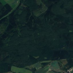
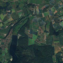
Satellite: Sentinel-2 cloudless 2016 by EOX IT Services GmbH · CC BY 4.0 · Contains modified Copernicus Sentinel data 2016
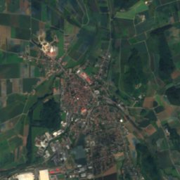
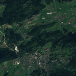
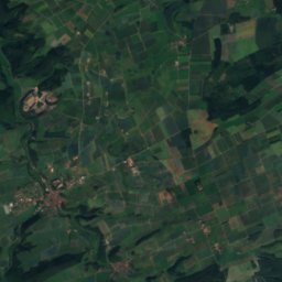
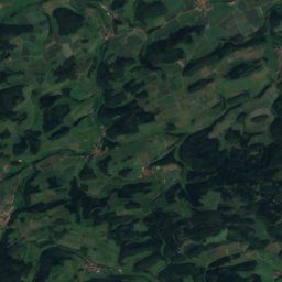
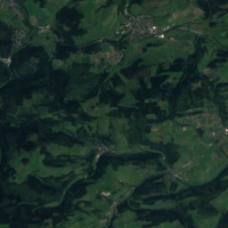
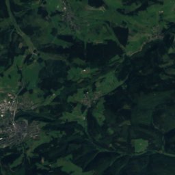
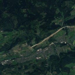
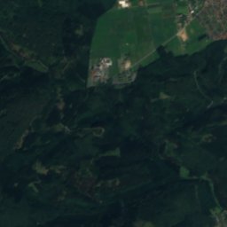
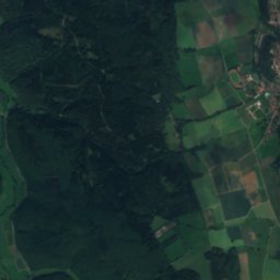
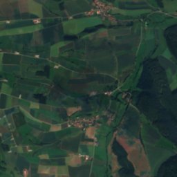
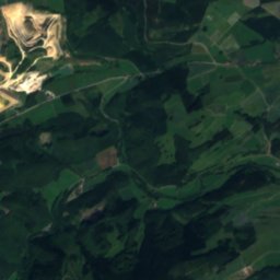
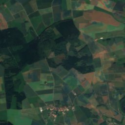
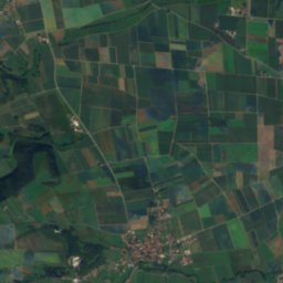
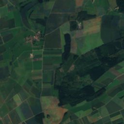
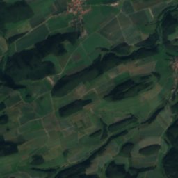
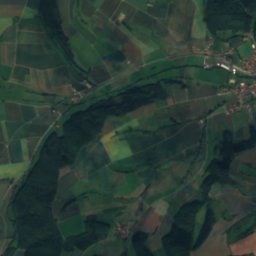
KleppeRiver3.7 kmNKleppe
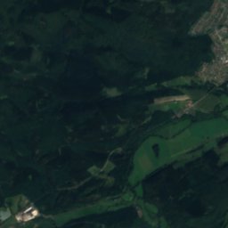
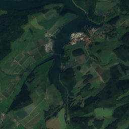
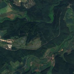
Satellite: Sentinel-2 cloudless 2016 by EOX IT Services GmbH · CC BY 4.0 · Contains modified Copernicus Sentinel data 2016
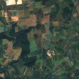
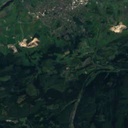
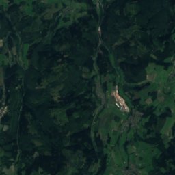
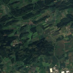
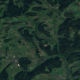
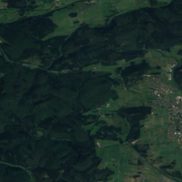
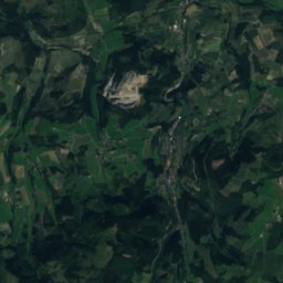
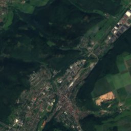
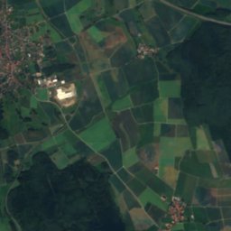
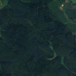
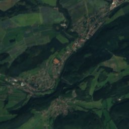
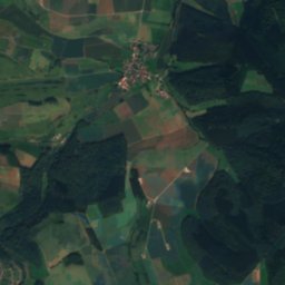
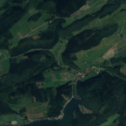
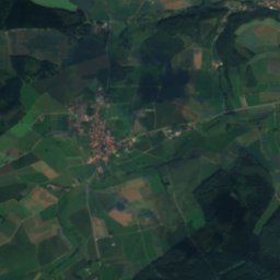
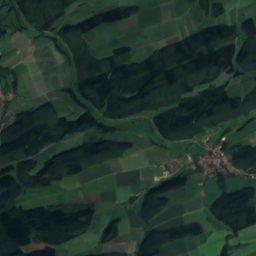
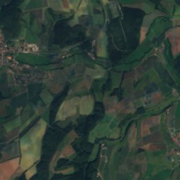
ThieleRiver6.1 kmEThiele
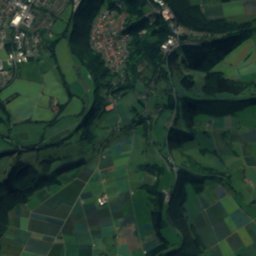
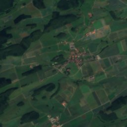
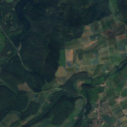
Satellite: Sentinel-2 cloudless 2016 by EOX IT Services GmbH · CC BY 4.0 · Contains modified Copernicus Sentinel data 2016
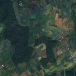
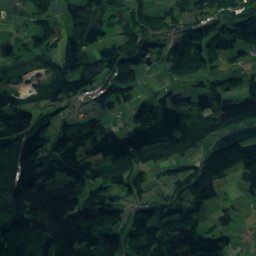
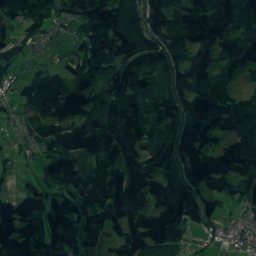
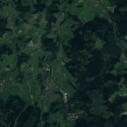
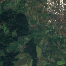
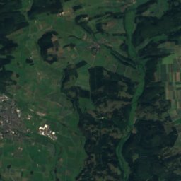
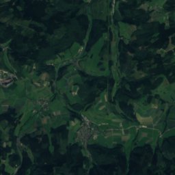
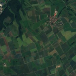
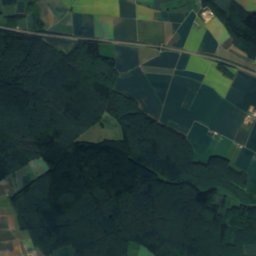
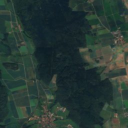
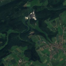
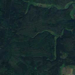
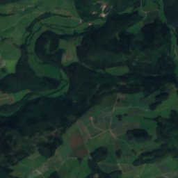
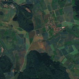
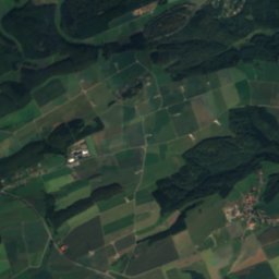
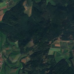
TwisteseeLake8.7 kmETwistesee
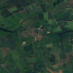
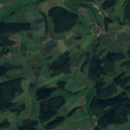
Satellite: Sentinel-2 cloudless 2016 by EOX IT Services GmbH · CC BY 4.0 · Contains modified Copernicus Sentinel data 2016
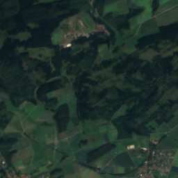
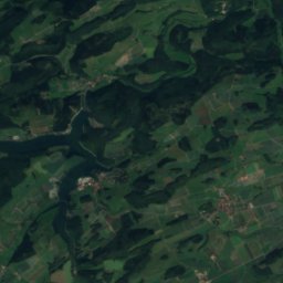
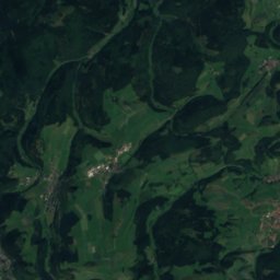
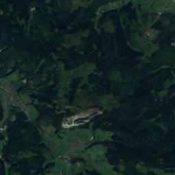
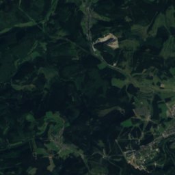
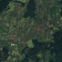
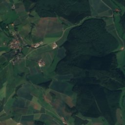
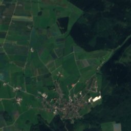
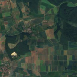
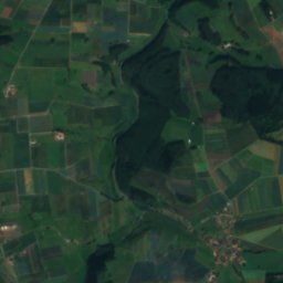
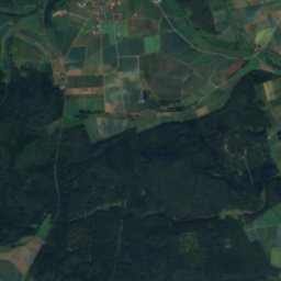
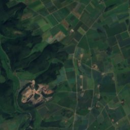
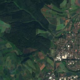
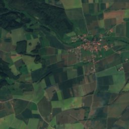
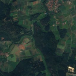
WerbeRiver9.2 kmSWerbe
Photo: SteveK · CC BY-SA 3.0 · Wikimedia CommonsReport this photo · linked, not stored
HoppeckeRiver11 kmNWHoppecke
Photo: SteveK · CC BY-SA 3.0 · Wikimedia CommonsReport this photo · linked, not stored
RheneRiver11 kmWRhene
Summits nearbyMountains of Germany
Photo: User: Celsius at wikivoyage shared · CC BY-SA 3.0 · Wikimedia CommonsReport this photo · linked, not stored
Hoher Eimberg24 km W806 mJuly 19°Hoher Eimberg
Photo: BP Photo · CC0 · Wikimedia CommonsReport this photo · linked, not stored
Hohe Pön25 km SW793 mJuly 20°Hohe Pön
Photo: Kersti · CC BY-SA 4.0 · Wikimedia CommonsReport this photo · linked, not stored
Dreiskopf23 km W781 mJuly 20°Dreiskopf
Satellite: Sentinel-2 cloudless 2016 by EOX IT Services GmbH · CC BY 4.0 · Contains modified Copernicus Sentinel data 2016
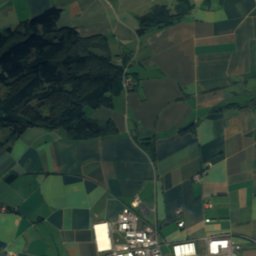
Kahle Pön23 km SW775 mJuly 20°Kahle Pön
Satellite: Sentinel-2 cloudless 2016 by EOX IT Services GmbH · CC BY 4.0 · Contains modified Copernicus Sentinel data 2016
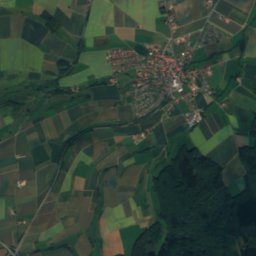
Kalied22 km SW745 mJuly 20°Kalied
Satellite: Sentinel-2 cloudless 2016 by EOX IT Services GmbH · CC BY 4.0 · Contains modified Copernicus Sentinel data 2016
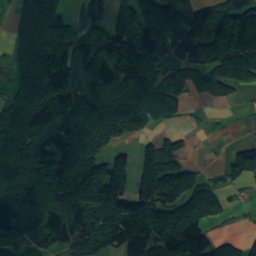
Emmet24 km SW743 mJuly 20°Emmet
Stay nearby

Towns close by

Bad Arolsen
Photo: Varus111 · CC BY 3.0 · Wikimedia CommonsReport this photo · linked, not stored

Bad Arolsen

Hesse · 5.3 km E
13°Oct high
12wet days
38score
Bad Arolsen
Obermarsberg
Photo: Teta · CC BY-SA 3.0 · Wikimedia CommonsReport this photo · linked, not stored

Obermarsberg

North Rhine-Westphalia · 11 km NW
13°Oct high
12wet days
37score
Obermarsberg
Korbach
Photo: Helmlechner · CC BY-SA 3.0 · Wikimedia CommonsReport this photo · linked, not stored

Korbach

Hesse · 12 km SW
13°Oct high
12wet days
34score
Korbach
Marsberg
Photo: Asio otus · CC BY-SA 3.0 · Wikimedia CommonsReport this photo · linked, not stored

Marsberg

North Rhine-Westphalia · 12 km NW
13°Oct high
12wet days
38score
Marsberg
Around here

Bad Arolsen and around

Bad Arolsen
Photo: Varus111 · CC BY 3.0 · Wikimedia CommonsReport this photo · linked, not stored

Bad Arolsen

Hesse · Germany
May–Jun · Sepbest months
23°July high
292 maltitude
Bad Arolsen

Nature

Satellite: Sentinel-2 cloudless 2016 by EOX IT Services GmbH · CC BY 4.0 · Contains modified Copernicus Sentinel data 2016
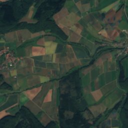
3.4 km E

Twistesee

Lake · 211 m
Twistesee
Satellite: Sentinel-2 cloudless 2016 by EOX IT Services GmbH · CC BY 4.0 · Contains modified Copernicus Sentinel data 2016
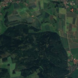
11 km SW

Werbe

River
Werbe
Satellite: Sentinel-2 cloudless 2016 by EOX IT Services GmbH · CC BY 4.0 · Contains modified Copernicus Sentinel data 2016
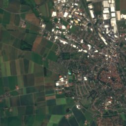
7.0 km W

Kleppe

River
Kleppe

Mountains

Langenberg (Rothaar)
Photo: Jörg Braukmann · CC BY-SA 4.0 · Wikimedia CommonsReport this photo · linked, not stored
34 km W

Langenberg (Rothaar)

844 m · Rothaar Mountains
Langenberg (Rothaar)
Hegekopf
Photo: Sorpetaler07 · CC BY 3.0 · Wikimedia CommonsReport this photo · linked, not stored
32 km W

Hegekopf

843 m · Rothaar Mountains
Hegekopf
Ettelsberg
Photo: Jörg Braukmann · CC BY-SA 4.0 · Wikimedia CommonsReport this photo · linked, not stored
31 km W

Ettelsberg

838 m
Ettelsberg

Heritage

Satellite: Sentinel-2 cloudless 2016 by EOX IT Services GmbH · CC BY 4.0 · Contains modified Copernicus Sentinel data 2016
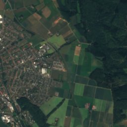
0.5 km E

Arolsen Castle

Kulturdenkmal
Arolsen Castle
Stadtkirche Bad Arolsen
Photo: Bytfisch · CC BY-SA 4.0 · Wikimedia CommonsReport this photo · linked, not stored
0.1 km NE

Stadtkirche Bad Arolsen

cultural heritage monument in Hesse
Stadtkirche Bad Arolsen
Satellite: Sentinel-2 cloudless 2016 by EOX IT Services GmbH · CC BY 4.0 · Contains modified Copernicus Sentinel data 2016
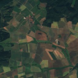
0.4 km SE

Arolsen Archives

Memory of the World International Register · 2019
Arolsen Archives

Museums

Satellite: Sentinel-2 cloudless 2016 by EOX IT Services GmbH · CC BY 4.0 · Contains modified Copernicus Sentinel data 2016
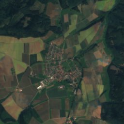
0.2 km NE

Christian-Daniel-Rauch-Geburtshaus

Christian-Daniel-Rauch-Geburtshaus
Satellite: Sentinel-2 cloudless 2016 by EOX IT Services GmbH · CC BY 4.0 · Contains modified Copernicus Sentinel data 2016
0.3 km E

Kaulbach-Haus

Kaulbach-Haus
Satellite: Sentinel-2 cloudless 2016 by EOX IT Services GmbH · CC BY 4.0 · Contains modified Copernicus Sentinel data 2016
0.4 km E

Schreibersches Haus

Schreibersches Haus