Skip to content
Destinations
Weather & climate
Nature
Outdoors
Culture
Events
Sky & live
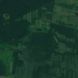
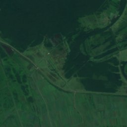
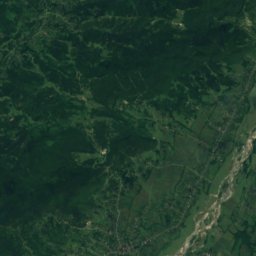
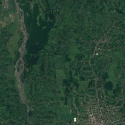
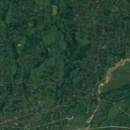
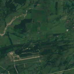
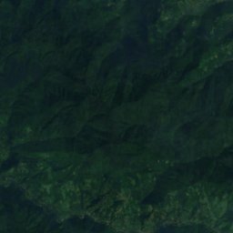
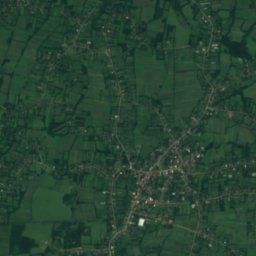
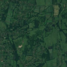
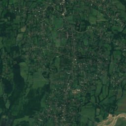
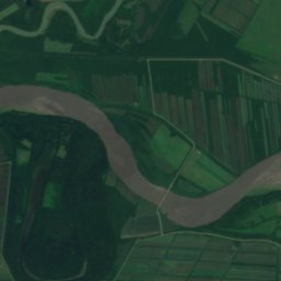
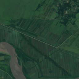
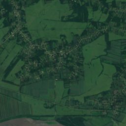
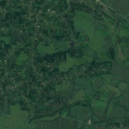
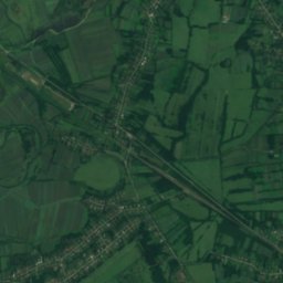
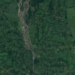
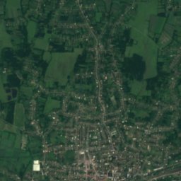
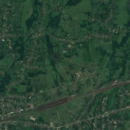
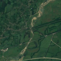
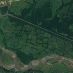
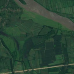
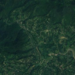
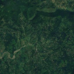
Satellite: Sentinel-2 cloudless 2016 by EOX IT Services GmbH · CC BY 4.0 · Contains modified Copernicus Sentinel data 2016
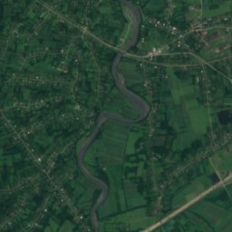
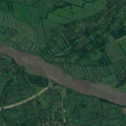
Gubistskali
Photo: lamara sixarulidze · CC BY-SA 2.5 · Wikimedia Commons
GubistskaliReport this photo · linked, not stored
Gubistskali
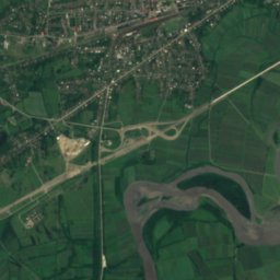
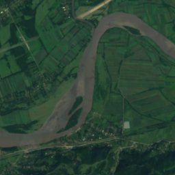
Noghela
Photo: MIKHEIL · CC BY-SA 3.0 · Wikimedia Commons
NoghelaReport this photo · linked, not stored
Noghela
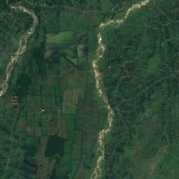
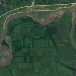
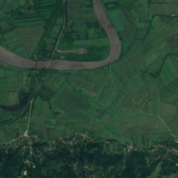
Sulori River
Photo: Gaga.vaa · CC BY-SA 4.0 · Wikimedia Commons
Sulori RiverReport this photo · linked, not stored
Sulori River
IslandSamtredia, Imereti

კუნძული ორპირი

IslandBest Apr–May · Oct
Elevation–above sea level
Area–surface
Nearest townSamtredia6.0 km
42.11° N, 42.29° EUTC+4 · Georgia Standard Time
When to goSamtredia · weather score
JanFebMarAprMayJunJulAugSepOctNovDec73October
Best timeApr–May · Oct
October: high / low23° / 13°
Island

კუნძული ორპირი in brief

კუნძული ორპირი is an island in Samtredia, Imereti, Georgia — place:island.

The nearest town in the atlas is Samtredia, 6.0 km to the NE, where the weather is best in April, May and October.

Samtredia: weather and travel guide

Weather nearby now

Forecast for Samtredia
18°
Partly cloudy now
Wind6 km/h
Humidity93%
Cloud cover58%
Today
22 Oct
21°
16°
25 mm
Fri
23 Oct
26°
15°
Sat
24 Oct
26°
16°
Sun
25 Oct
26°
13°
Mon
26 Oct
26°
18°

Model run 00:00 UTCRefreshed several times a day

When to go

The best months around კუნძული ორპირი

Climate of Samtredia

Month score in Samtredia

Comfort, dry days and sunshine · out of 100
Map

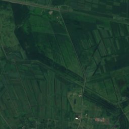
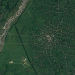
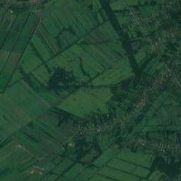
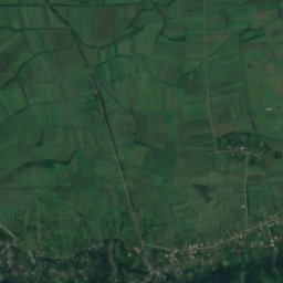
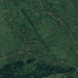
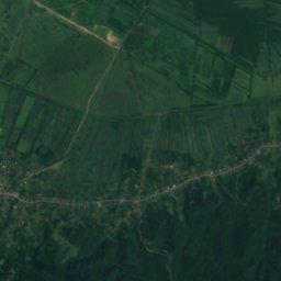
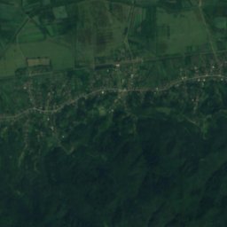
კუნძული ორპირი from above

Nature nearbyAll of Georgia
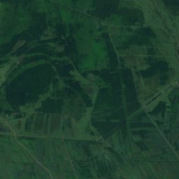
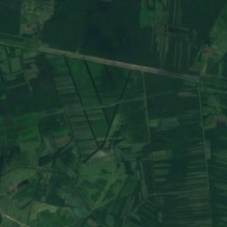
Satellite: Sentinel-2 cloudless 2016 by EOX IT Services GmbH · CC BY 4.0 · Contains modified Copernicus Sentinel data 2016
Mq’invari T’it’aGlacier1.4 kmSMq’invari T’it’a
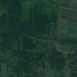
Satellite: Sentinel-2 cloudless 2016 by EOX IT Services GmbH · CC BY 4.0 · Contains modified Copernicus Sentinel data 2016
JapanaLake7.2 kmWJapana
Photo: lamara sixarulidze · CC BY-SA 2.5 · Wikimedia CommonsReport this photo · linked, not stored
GubistskaliRiver11 kmNEGubistskali
Photo: MIKHEIL · CC BY-SA 3.0 · Wikimedia CommonsReport this photo · linked, not stored
NoghelaRiver12 kmNWNoghela
Photo: Gaga.vaa · CC BY-SA 4.0 · Wikimedia CommonsReport this photo · linked, not stored
Sulori RiverRiver18 kmESulori River
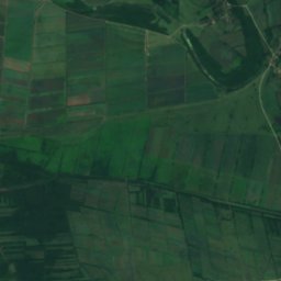
Satellite: Sentinel-2 cloudless 2016 by EOX IT Services GmbH · CC BY 4.0 · Contains modified Copernicus Sentinel data 2016
Lake ChalubaLake19 kmWLake Chaluba
Stay nearby

Towns close by

Samtredia
Photo: Daniel-tbs · CC BY-SA 4.0 · Wikimedia CommonsReport this photo · linked, not stored

Samtredia

Imereti · 6.0 km NE
23°Oct high
11wet days
73score
Samtredia
Japana
Photo: გრიგოლ · CC BY-SA 4.0 · Wikimedia CommonsReport this photo · linked, not stored

Japana

Guria · 8.2 km W
23°Oct high
11wet days
72score
Japana
Chokhatauri
Photo: M. · CC BY-SA 4.0 · Wikimedia CommonsReport this photo · linked, not stored

Chokhatauri

Guria · 11 km SW
22°Oct high
11wet days
72score
Chokhatauri
Satellite: Sentinel-2 cloudless 2016 by EOX IT Services GmbH · CC BY 4.0 · Contains modified Copernicus Sentinel data 2016

Kulashi

Imereti · 12 km N
23°Oct high
11wet days
73score
Kulashi
Around here

Samtredia and around

Samtredia
Photo: Daniel-tbs · CC BY-SA 4.0 · Wikimedia CommonsReport this photo · linked, not stored

Samtredia

Imereti · Georgia
Apr–May · Octbest months
30°July high
23 maltitude
Samtredia

Nature

Gubistskali
Photo: lamara sixarulidze · CC BY-SA 2.5 · Wikimedia CommonsReport this photo · linked, not stored
5.9 km E

Gubistskali

River
Gubistskali
Satellite: Sentinel-2 cloudless 2016 by EOX IT Services GmbH · CC BY 4.0 · Contains modified Copernicus Sentinel data 2016
7.1 km SW

Mq’invari T’it’a

Glacier
Mq’invari T’it’a
Noghela
Photo: MIKHEIL · CC BY-SA 3.0 · Wikimedia CommonsReport this photo · linked, not stored
14 km W

Noghela

River
Noghela

Mountains

Sakornia
Photo: გრიგოლ · CC BY-SA 3.0 · Wikimedia CommonsReport this photo · linked, not stored
37 km S

Sakornia

2,752 m · Meskheti Range
Sakornia
Satellite: Sentinel-2 cloudless 2016 by EOX IT Services GmbH · CC BY 4.0 · Contains modified Copernicus Sentinel data 2016
40 km SE

Didi Loboroti

2,730 m
Didi Loboroti

Museums

Galaktion and Titsian Tabidze House Museum
Photo: Gaga.vaa · CC BY-SA 4.0 · Wikimedia CommonsReport this photo · linked, not stored
7.9 km E

Galaktion and Titsian Tabidze House Museum

1983
Galaktion and Titsian Tabidze House Museum