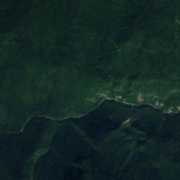
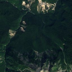
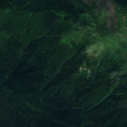
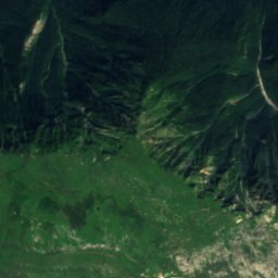
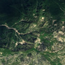
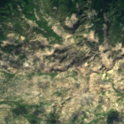
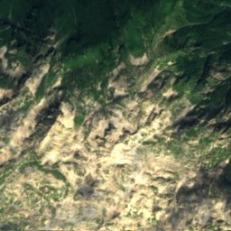
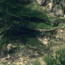
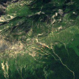
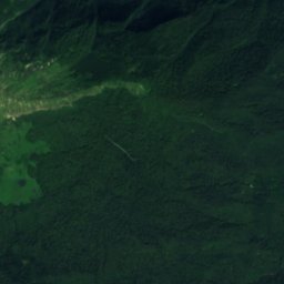
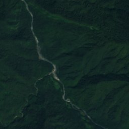
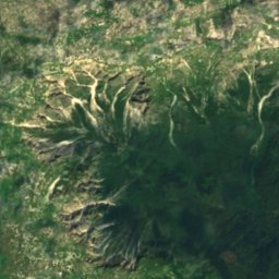
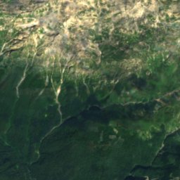
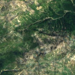
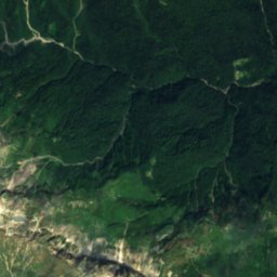
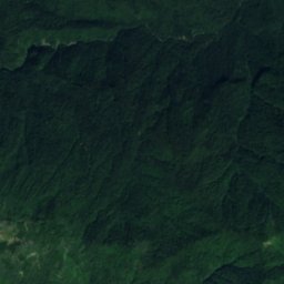
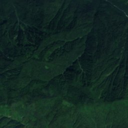
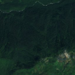
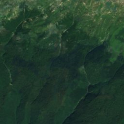
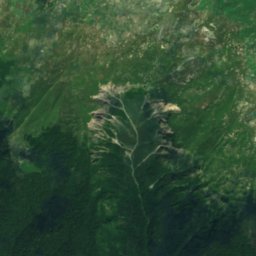
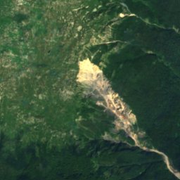
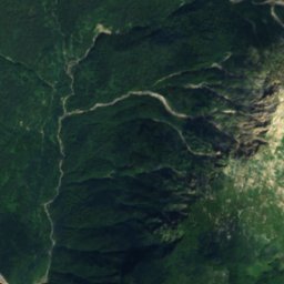
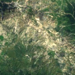
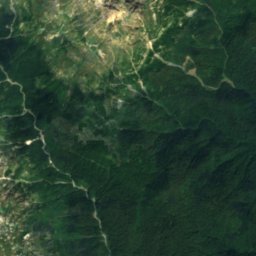
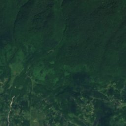
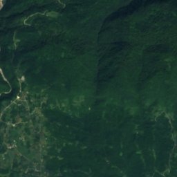
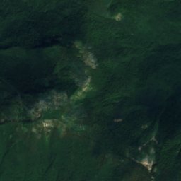
Satellite: Sentinel-2 cloudless 2016 by EOX IT Services GmbH · CC BY 4.0 · Contains modified Copernicus Sentinel data 2016
 Bzyb River
CaveAch’andara, Abkhazia
Snowcave
CaveBest Jun · Sep–Oct
Elevation–above sea level
Inside15°Call year
Nearest townAch’andara8.4 km
43.26° N, 40.72° EUTC+4 · Georgia Standard Time
When to goAch’andara · weather score
Best timeJun · Sep–Oct
October: high / low21° / 12°
Cave
Snowcave in brief
Snowcave is a cave in Ach’andara, Abkhazia, Georgia.
The nearest town in the atlas is Ach’andara, 8.4 km to the S, where the weather is best in June, September and October.
Inside, a cave stays close to the average yearly air temperature outside: about 15°C all year.
Weather nearby now
Forecast for Ach’andara17°
Cloudy now
Today
22 Oct
19°
14°
13 mm
Fri
23 Oct
23°
10°
Sat
24 Oct
25°
10°
Sun
25 Oct
23°
9°
Mon
26 Oct
24°
8°
Model run 00:00 UTCRefreshed several times a day
When to go
Climate of Ach’andaraThe best months around Snowcave
Month score in Ach’andara
Comfort, dry days and sunshine · out of 10016
Jan
18
Feb
30
Mar
60
Apr
63
May
65
Jun
59
Jul
60
Aug
71
Sep
71
Oct
52
Nov
26
Dec
Map
Snowcave from above
Nature nearbyAll of Georgia

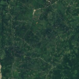
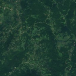
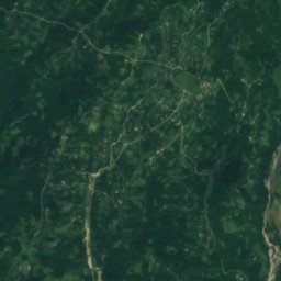
Satellite: Sentinel-2 cloudless 2016 by EOX IT Services GmbH · CC BY 4.0 · Contains modified Copernicus Sentinel data 2016
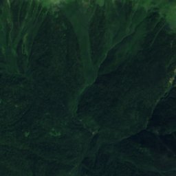
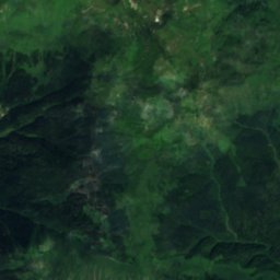
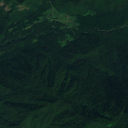
Satellite: Sentinel-2 cloudless 2016 by EOX IT Services GmbH · CC BY 4.0 · Contains modified Copernicus Sentinel data 2016
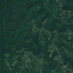
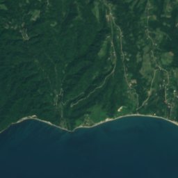
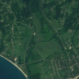
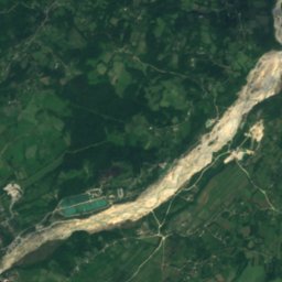

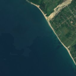
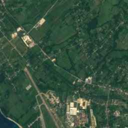
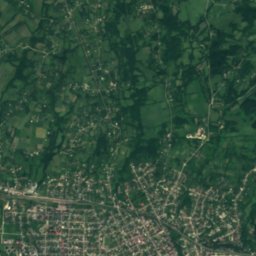
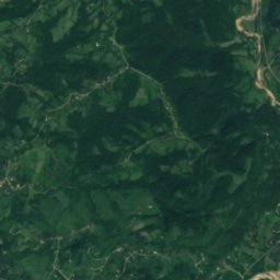
Satellite: Sentinel-2 cloudless 2016 by EOX IT Services GmbH · CC BY 4.0 · Contains modified Copernicus Sentinel data 2016
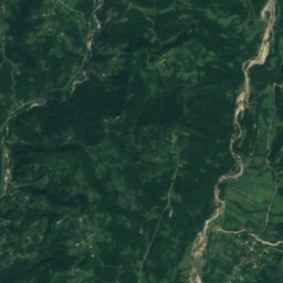
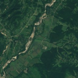
Satellite: Sentinel-2 cloudless 2016 by EOX IT Services GmbH · CC BY 4.0 · Contains modified Copernicus Sentinel data 2016
Summits nearbyMountains of Georgia
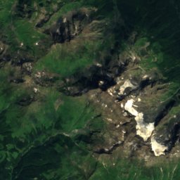
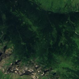
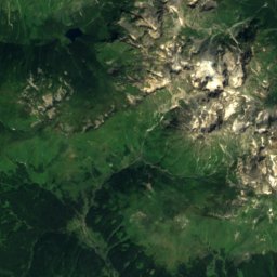
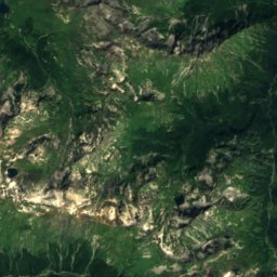
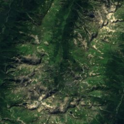
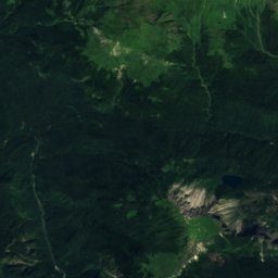
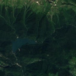
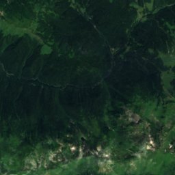
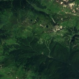
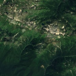
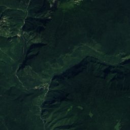
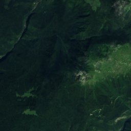
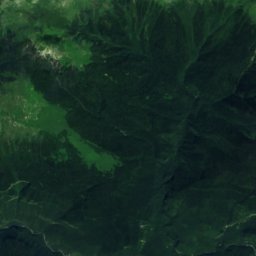
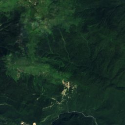
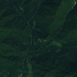
Satellite: Sentinel-2 cloudless 2016 by EOX IT Services GmbH · CC BY 4.0 · Contains modified Copernicus Sentinel data 2016
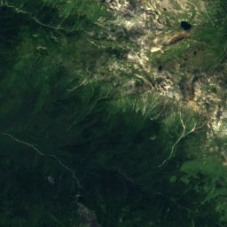
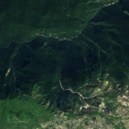
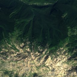
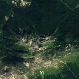
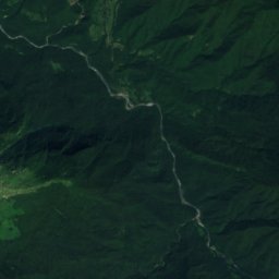
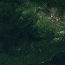
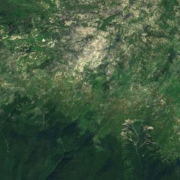
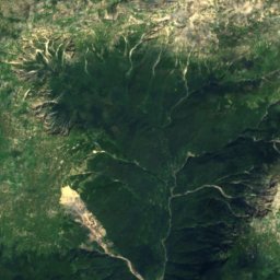
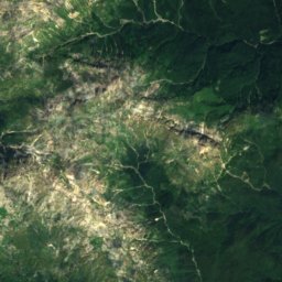
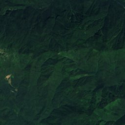
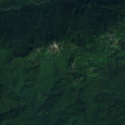
Satellite: Sentinel-2 cloudless 2016 by EOX IT Services GmbH · CC BY 4.0 · Contains modified Copernicus Sentinel data 2016
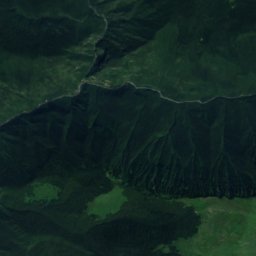
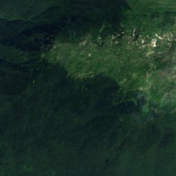
Satellite: Sentinel-2 cloudless 2016 by EOX IT Services GmbH · CC BY 4.0 · Contains modified Copernicus Sentinel data 2016
Satellite: Sentinel-2 cloudless 2016 by EOX IT Services GmbH · CC BY 4.0 · Contains modified Copernicus Sentinel data 2016
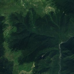
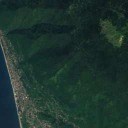
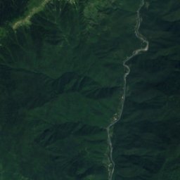
Stay nearby
Towns close by
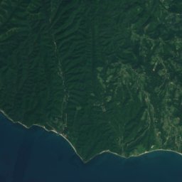
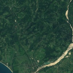
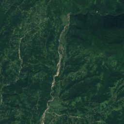
Satellite: Sentinel-2 cloudless 2016 by EOX IT Services GmbH · CC BY 4.0 · Contains modified Copernicus Sentinel data 2016
Ach’andara
Abkhazia · 8.4 km S
21°Oct high
12wet days
71score

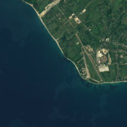
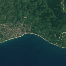
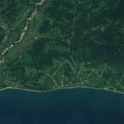
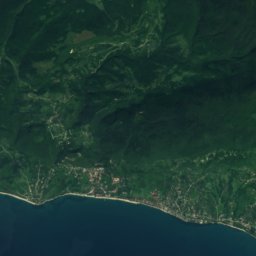
Satellite: Sentinel-2 cloudless 2016 by EOX IT Services GmbH · CC BY 4.0 · Contains modified Copernicus Sentinel data 2016
Aats’i
Abkhazia · 14 km S
21°Oct high
12wet days
71score


Around here
Ach’andara and around
Satellite: Sentinel-2 cloudless 2016 by EOX IT Services GmbH · CC BY 4.0 · Contains modified Copernicus Sentinel data 2016
Ach’andara
Abkhazia · Georgia
Jun · Sep–Octbest months
28°July high
154 maltitude
Nature
Satellite: Sentinel-2 cloudless 2016 by EOX IT Services GmbH · CC BY 4.0 · Contains modified Copernicus Sentinel data 2016
Aapsta
River
Satellite: Sentinel-2 cloudless 2016 by EOX IT Services GmbH · CC BY 4.0 · Contains modified Copernicus Sentinel data 2016
Tarkili Cave
Cave · 215 m
Mountains
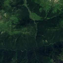
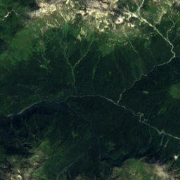
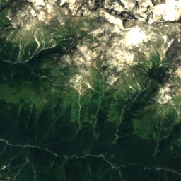
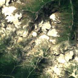
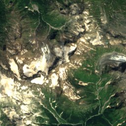
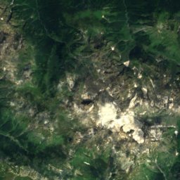
Satellite: Sentinel-2 cloudless 2016 by EOX IT Services GmbH · CC BY 4.0 · Contains modified Copernicus Sentinel data 2016
Khimsa
3,138 m · Bzyb Range
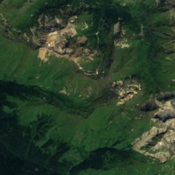
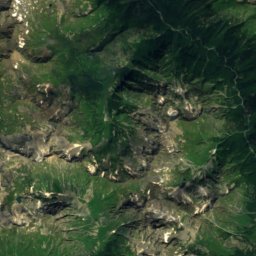
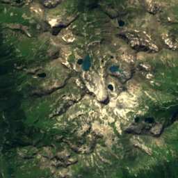
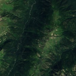
Satellite: Sentinel-2 cloudless 2016 by EOX IT Services GmbH · CC BY 4.0 · Contains modified Copernicus Sentinel data 2016
Azhara
2,908 m · Main Caucasus Range
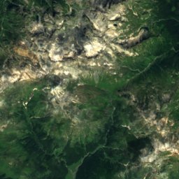
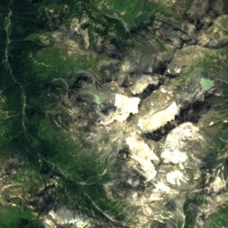
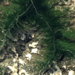


Satellite: Sentinel-2 cloudless 2016 by EOX IT Services GmbH · CC BY 4.0 · Contains modified Copernicus Sentinel data 2016
Mta Chedimi
2,841 m · Bzyb Range
Heritage
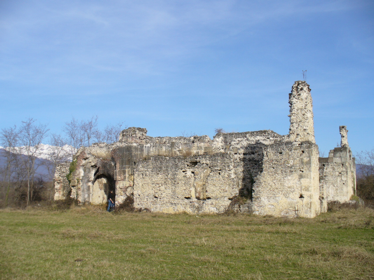

Shervashidze’s Palace
Cultural Monuments of National Importance of Georgia