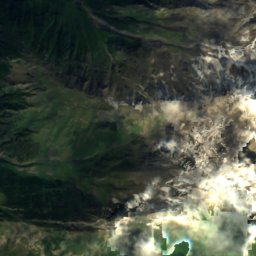
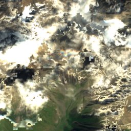
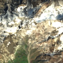
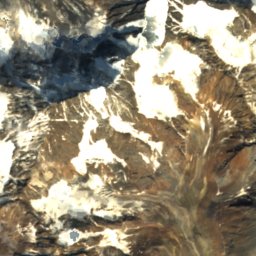
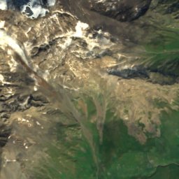
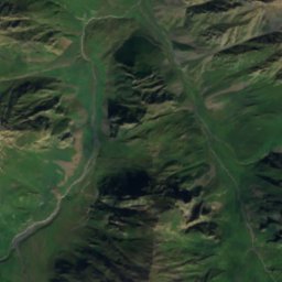
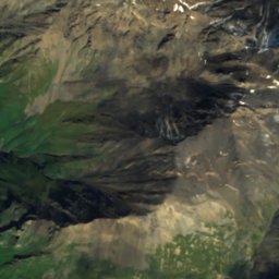
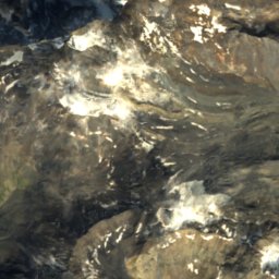
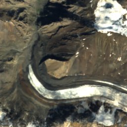
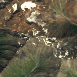
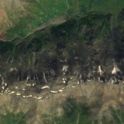
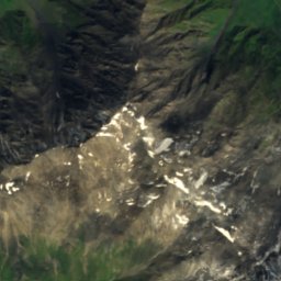
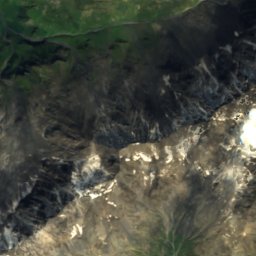
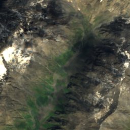
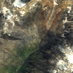
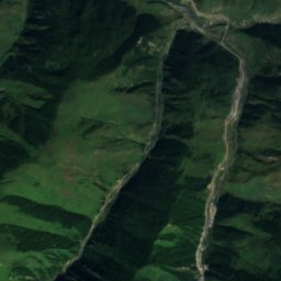
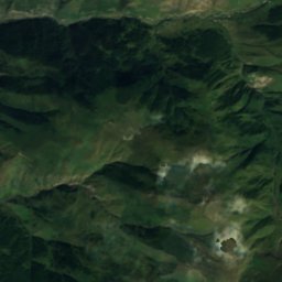
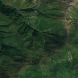
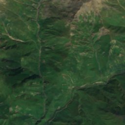
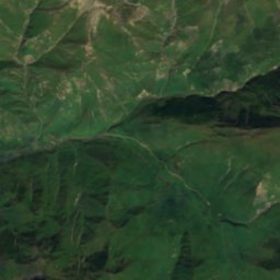
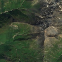
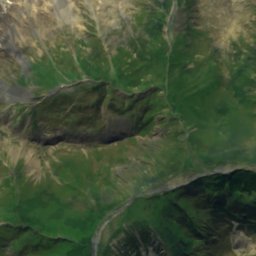
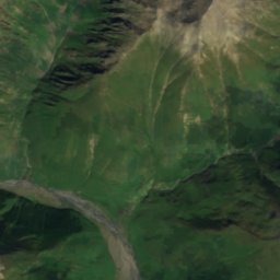
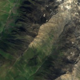
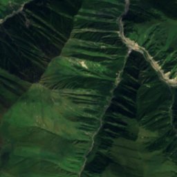
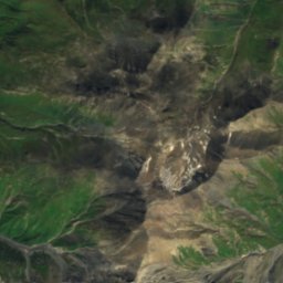
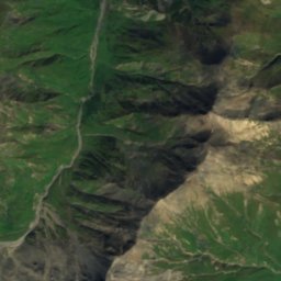
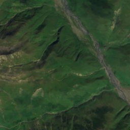
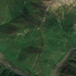
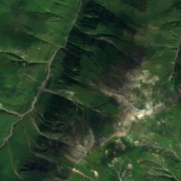
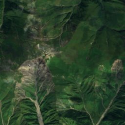
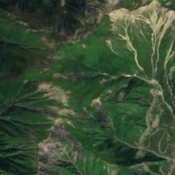
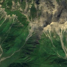
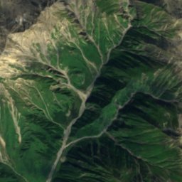
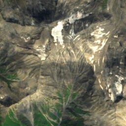
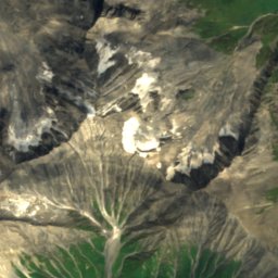
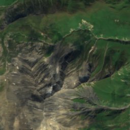
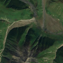
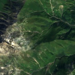
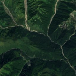
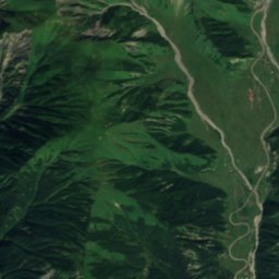
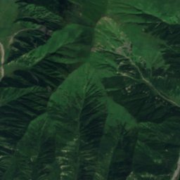
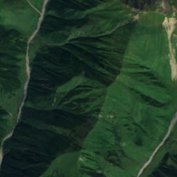
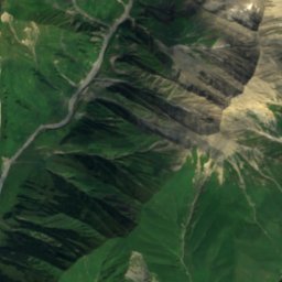
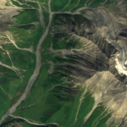
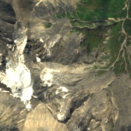
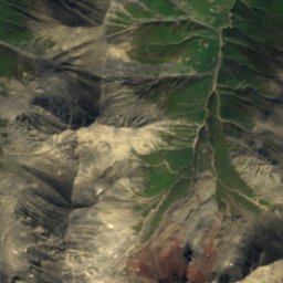
Satellite: Sentinel-2 cloudless 2016 by EOX IT Services GmbH · CC BY 4.0 · Contains modified Copernicus Sentinel data 2016
 Terek

Photo: ქსნის ხეობა · CC BY-SA 4.0 · Wikimedia Commons
Kelitsadi LakeReport this photo · linked, not stored
Kelitsadi LakeKelitsadi LakeReport this photo · linked, not stored

Photo: Слесарев Олег Викторович · CC BY-SA 4.0 · Wikimedia Commons
Mount DzhimaraReport this photo · linked, not stored
Mount DzhimaraMount DzhimaraReport this photo · linked, not stored

Photo: Avtandil Gurasashvili · CC BY-SA 4.0 · Wikimedia Commons
Mount Stepan BanderaReport this photo · linked, not stored
Mount Stepan BanderaMount Stepan BanderaReport this photo · linked, not stored
RiverGimara, Mtskheta-Mtianeti
Sba
RiverBest Jul–Sep
Elevation–above sea level
Length11 kmsource to mouth
Nearest townGimara9.1 km
42.62° N, 44.22° EUTC+4 · Georgia Standard Time
When to goGimara · weather score
Best timeJul–Sep
October: high / low7° / -1°
River
Sba in brief
Sba is a river in Gimara, Mtskheta-Mtianeti, Georgia.
The nearest town in the atlas is Gimara, 9.1 km to the E, where the weather is best in July, August and September.
Sba is 11 km long.
Weather nearby now
Forecast for Gimara3°
Rain now
Today
22 Oct
5°
2°
28 mm
Fri
23 Oct
4°
-5°
3 mm
Sat
24 Oct
6°
-5°
Sun
25 Oct
6°
-3°
Mon
26 Oct
7°
-4°
Model run 00:00 UTCRefreshed several times a day
When to go
Climate of GimaraThe best months around Sba
Month score in Gimara
Comfort, dry days and sunshine · out of 10035
Jan
29
Feb
23
Mar
23
Apr
17
May
37
Jun
61
Jul
71
Aug
45
Sep
32
Oct
37
Nov
34
Dec
Map
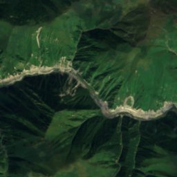
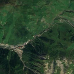
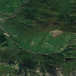
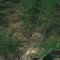
Sba from above
Nature nearbyAll of Georgia

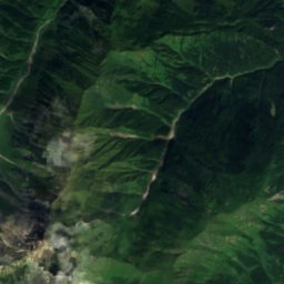
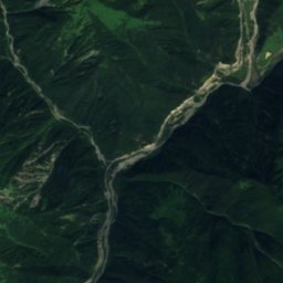
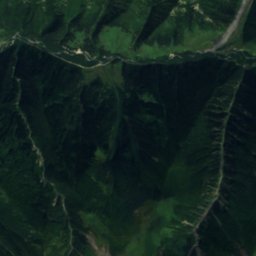
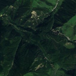
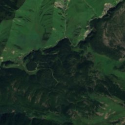
Satellite: Sentinel-2 cloudless 2016 by EOX IT Services GmbH · CC BY 4.0 · Contains modified Copernicus Sentinel data 2016
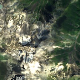
Satellite: Sentinel-2 cloudless 2016 by EOX IT Services GmbH · CC BY 4.0 · Contains modified Copernicus Sentinel data 2016
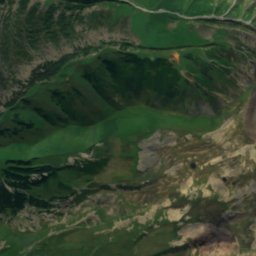
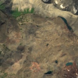
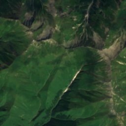
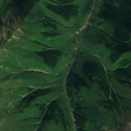
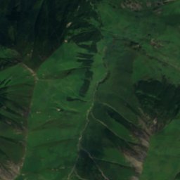
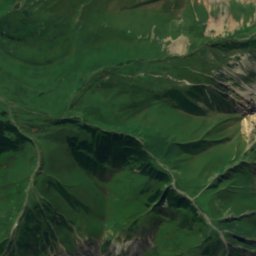
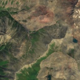
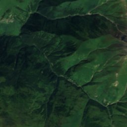
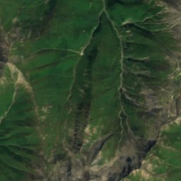
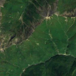
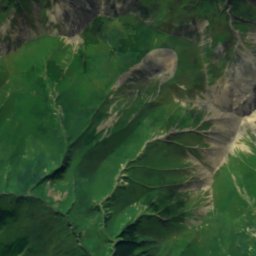
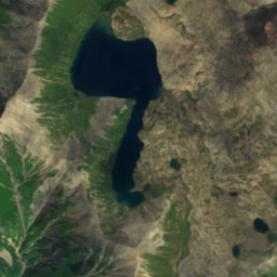
Satellite: Sentinel-2 cloudless 2016 by EOX IT Services GmbH · CC BY 4.0 · Contains modified Copernicus Sentinel data 2016
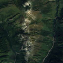
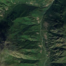
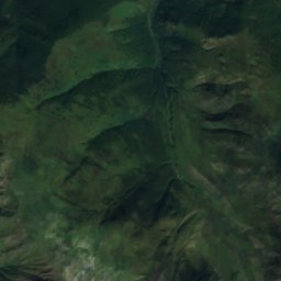
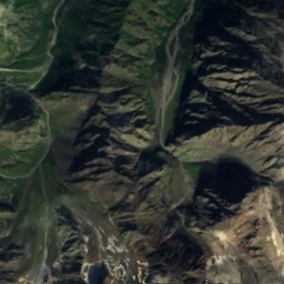
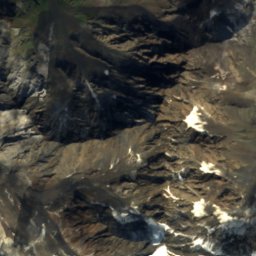
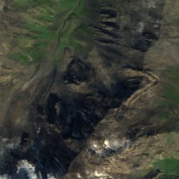
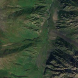
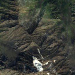
Satellite: Sentinel-2 cloudless 2016 by EOX IT Services GmbH · CC BY 4.0 · Contains modified Copernicus Sentinel data 2016

Summits nearbyMountains of Georgia

Photo: Слесарев Олег Викторович · CC BY-SA 4.0 · Wikimedia CommonsReport this photo · linked, not stored
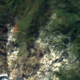
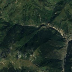
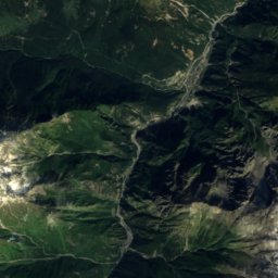
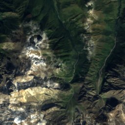
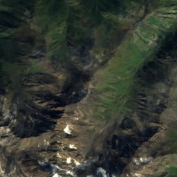
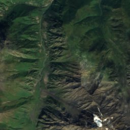
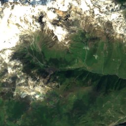
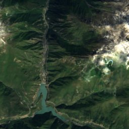
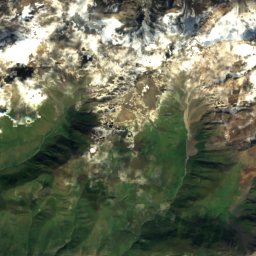
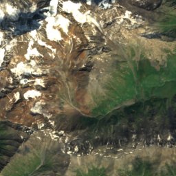
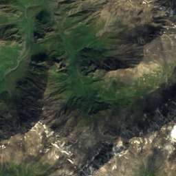
Satellite: Sentinel-2 cloudless 2016 by EOX IT Services GmbH · CC BY 4.0 · Contains modified Copernicus Sentinel data 2016

Photo: Avtandil Gurasashvili · CC BY-SA 4.0 · Wikimedia CommonsReport this photo · linked, not stored
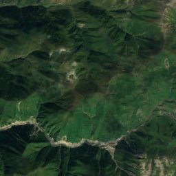
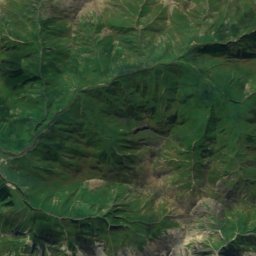
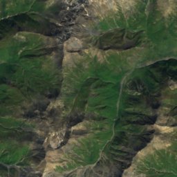
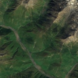
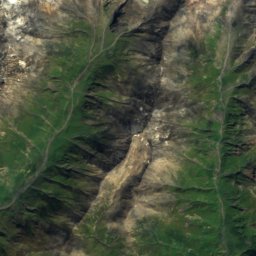
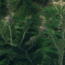
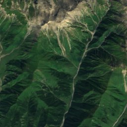
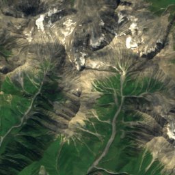
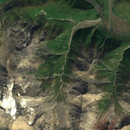
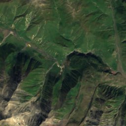
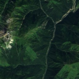
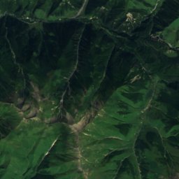
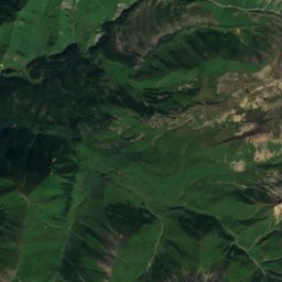
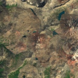
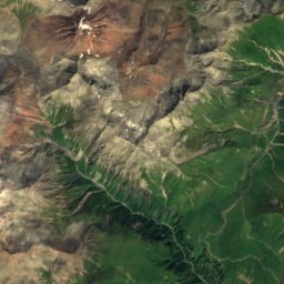
Satellite: Sentinel-2 cloudless 2016 by EOX IT Services GmbH · CC BY 4.0 · Contains modified Copernicus Sentinel data 2016
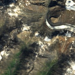
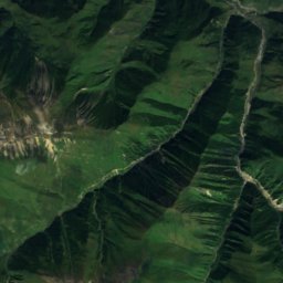
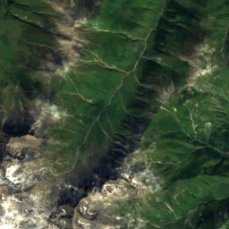
Satellite: Sentinel-2 cloudless 2016 by EOX IT Services GmbH · CC BY 4.0 · Contains modified Copernicus Sentinel data 2016
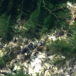
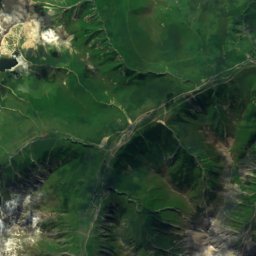
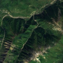
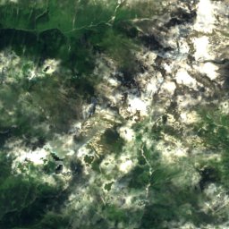
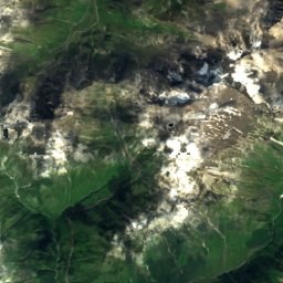
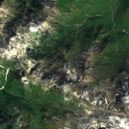
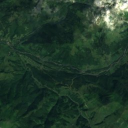
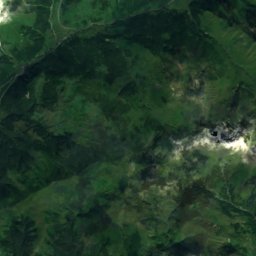
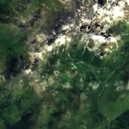
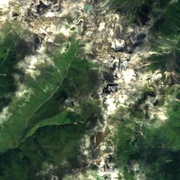
Satellite: Sentinel-2 cloudless 2016 by EOX IT Services GmbH · CC BY 4.0 · Contains modified Copernicus Sentinel data 2016
Stay nearby
Towns close by


Around here
Gimara and around
Nature
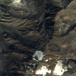
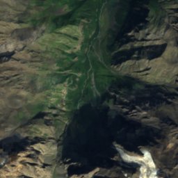
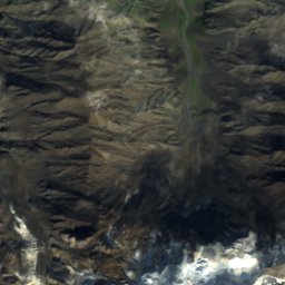
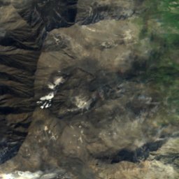
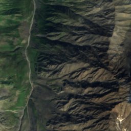
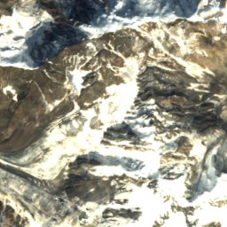
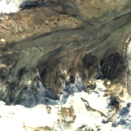
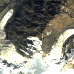
Satellite: Sentinel-2 cloudless 2016 by EOX IT Services GmbH · CC BY 4.0 · Contains modified Copernicus Sentinel data 2016
Mq'invari Tsent'raluri Suatisi
Glacier
Mountains
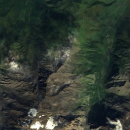
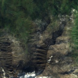
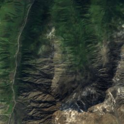
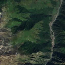
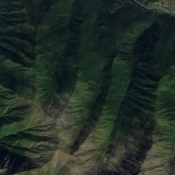
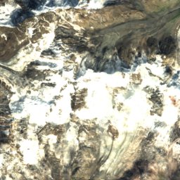
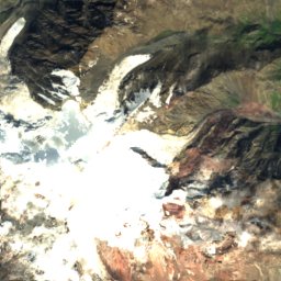
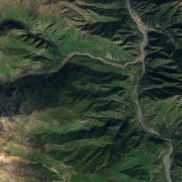
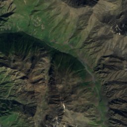
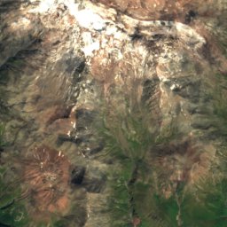
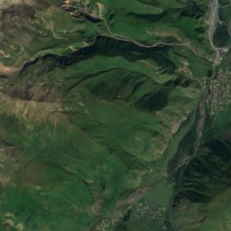
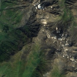
Satellite: Sentinel-2 cloudless 2016 by EOX IT Services GmbH · CC BY 4.0 · Contains modified Copernicus Sentinel data 2016
Mount Kazbek
5,033 m · Greater Caucasus
Photo: Слесарев Олег Викторович · CC BY-SA 4.0 · Wikimedia CommonsReport this photo · linked, not stored
Mount Dzhimara
4,780 m · Khokh Range


