Skip to content
Destinations
Weather & climate
Nature
Outdoors
Culture
Events
Sky & live
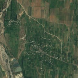
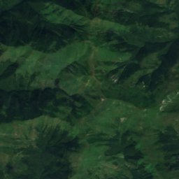
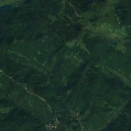
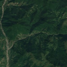
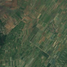
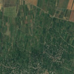
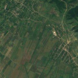
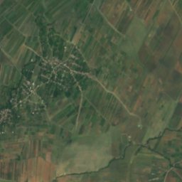
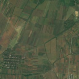
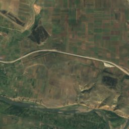
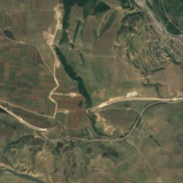
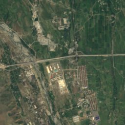
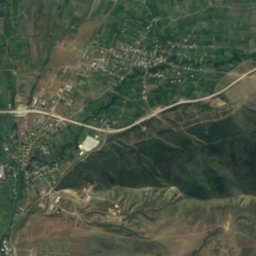
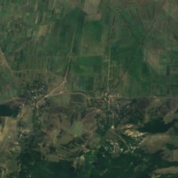
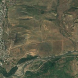
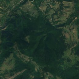
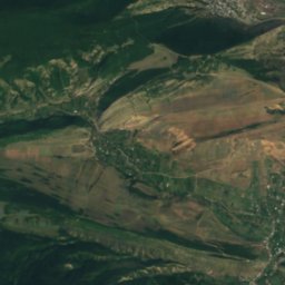
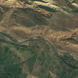
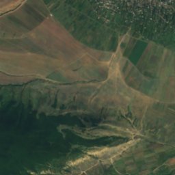
Satellite: Sentinel-2 cloudless 2016 by EOX IT Services GmbH · CC BY 4.0 · Contains modified Copernicus Sentinel data 2016
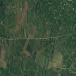
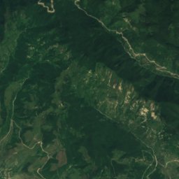
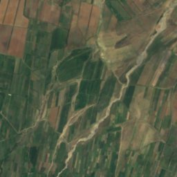
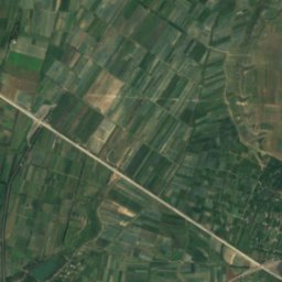
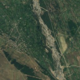
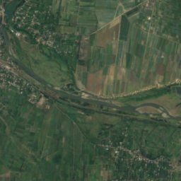
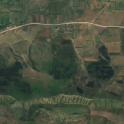
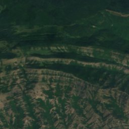
Great Liakhvi River
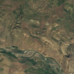
Photo: NASA · Public domain · Wikimedia Commons
Great Liakhvi RiverReport this photo · linked, not stored
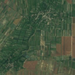
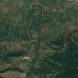
Great Liakhvi River
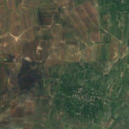
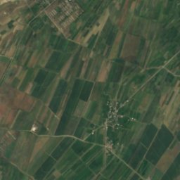
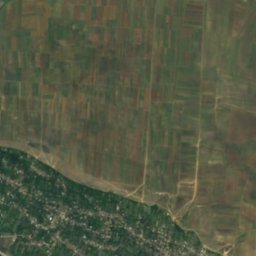
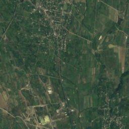
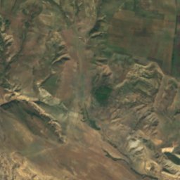
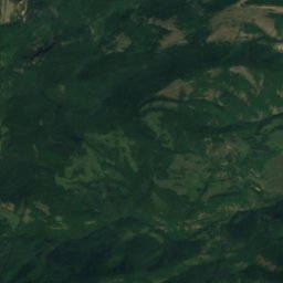
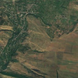
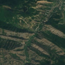
Nadarbazevis Tba
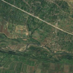
Photo: Yasuhiro Kojima · CC BY-SA 4.0 · Wikimedia Commons
Nadarbazevis TbaReport this photo · linked, not stored
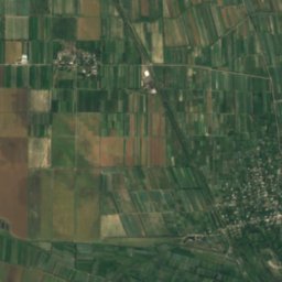
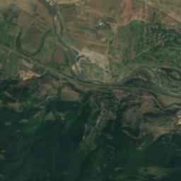
Nadarbazevis Tba
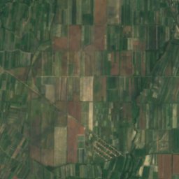
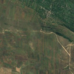
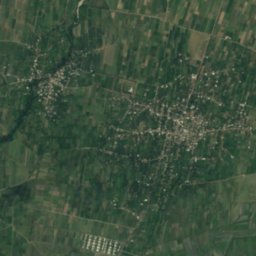
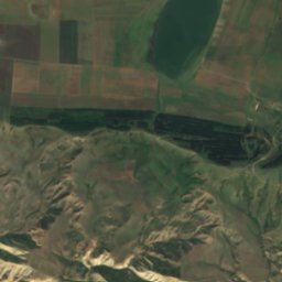
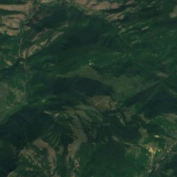
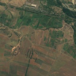
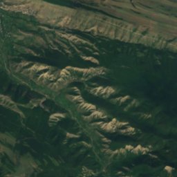
Suramula
Photo: Yasuhiro Kojima · CC BY-SA 4.0 · Wikimedia Commons
SuramulaReport this photo · linked, not stored
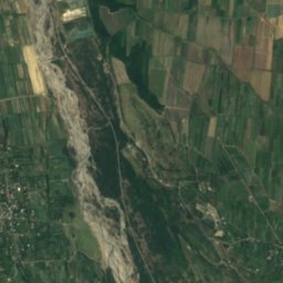
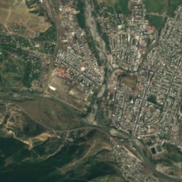
Suramula
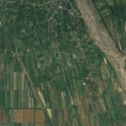
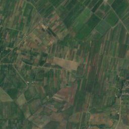
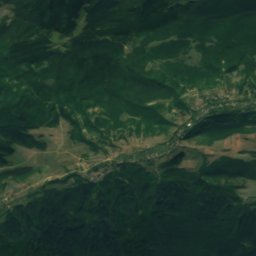
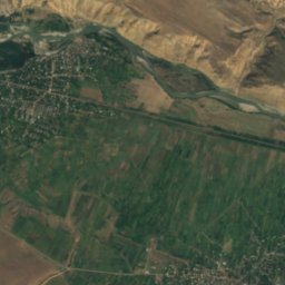
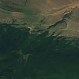
Satskhenisi
Photo: Yasuhiro Kojima · CC BY-SA 4.0 · Wikimedia Commons
SatskhenisiReport this photo · linked, not stored
Satskhenisi
RiverGori, Shida Kartli

Mejuda

RiverBest Apr · Sep–Oct
Elevation–above sea level
Length46 kmsource to mouth
Nearest townGori0.7 km
41.99° N, 44.10° EUTC+4 · Georgia Standard Time
When to goGori · weather score
JanFebMarAprMayJunJulAugSepOctNovDec76October
Best timeApr · Sep–Oct
October: high / low19° / 7°
River

Mejuda in brief

Mejuda is a river in Gori, Shida Kartli, Georgia.

The nearest town in the atlas is Gori, 0.7 km to the SE, where the weather is best in April, September and October.

Mejuda is 46 km long.

Gori: weather and travel guide

Weather nearby now

Forecast for Gori
16°
Showers now
Wind4 km/h
Humidity92%
Cloud cover50%
Today
22 Oct
20°
14°
15 mm
Fri
23 Oct
22°
11°
Sat
24 Oct
21°
12°
Sun
25 Oct
20°
12°
Mon
26 Oct
20°
11°

Model run 00:00 UTCRefreshed several times a day

The course of the river

As mapped in OpenStreetMap, with the towns of the atlas along its banks.
sourcemouth (or where the mapped line leaves the country)
When to go

The best months around Mejuda

Climate of Gori

Month score in Gori

Comfort, dry days and sunshine · out of 100
Map

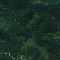
Mejuda from above

Nature nearbyAll of Georgia
Photo: NASA · Public domain · Wikimedia CommonsReport this photo · linked, not stored
Great Liakhvi RiverRiver1.2 kmSGreat Liakhvi River
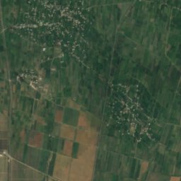
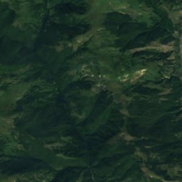
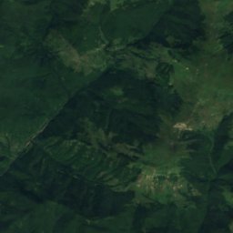
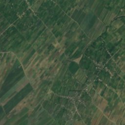
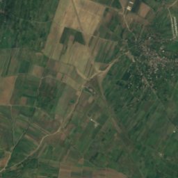
Satellite: Sentinel-2 cloudless 2016 by EOX IT Services GmbH · CC BY 4.0 · Contains modified Copernicus Sentinel data 2016
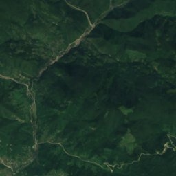
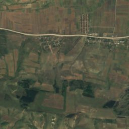
CharebulaRiver5.5 kmNCharebula
Photo: Yasuhiro Kojima · CC BY-SA 4.0 · Wikimedia CommonsReport this photo · linked, not stored
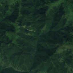
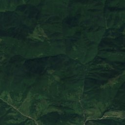
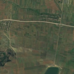
Nadarbazevis TbaLake15 kmENadarbazevis Tba
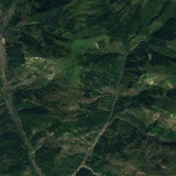
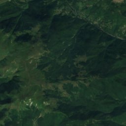
Satellite: Sentinel-2 cloudless 2016 by EOX IT Services GmbH · CC BY 4.0 · Contains modified Copernicus Sentinel data 2016
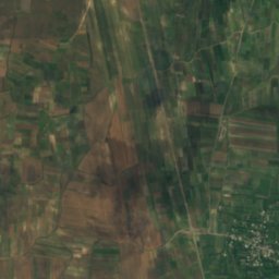
Little LiakhviRiver15 kmNWLittle Liakhvi
Photo: Yasuhiro Kojima · CC BY-SA 4.0 · Wikimedia CommonsReport this photo · linked, not stored
SuramulaRiver23 kmWSuramula
Summits nearbyMountains of Georgia
Photo: Yasuhiro Kojima · CC BY-SA 4.0 · Wikimedia CommonsReport this photo · linked, not stored
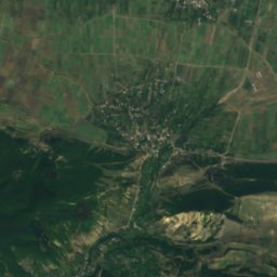
Satskhenisi22 km SW2,030 mJuly 18°Satskhenisi
Stay nearby

Towns close by

Gori
Photo: Tiia Monto · CC BY-SA 3.0 · Wikimedia CommonsReport this photo · linked, not stored

Gori

Shida Kartli · 0.7 km SE
19°Oct high
10wet days
76score
Gori
Kheltubani
Photo: ქსნის ხეობა · CC BY-SA 4.0 · Wikimedia CommonsReport this photo · linked, not stored

Kheltubani

Shida Kartli · 8.1 km NE
19°Oct high
10wet days
74score
Kheltubani
Ateni
Photo: Bertramz · CC BY-SA 3.0 · Wikimedia CommonsReport this photo · linked, not stored

Ateni

Shida Kartli · 9.2 km S
18°Oct high
10wet days
75score
Ateni
Urbnisi
Photo: Aleksey Muhranoff · CC BY-SA 3.0 · Wikimedia CommonsReport this photo · linked, not stored

Urbnisi

Shida Kartli · 11 km W
19°Oct high
10wet days
73score
Urbnisi
Around here

Gori and around

Gori
Photo: Tiia Monto · CC BY-SA 3.0 · Wikimedia CommonsReport this photo · linked, not stored

Gori

Shida Kartli · Georgia
Apr · Sep–Octbest months
29°July high
602 maltitude
Gori

Nature

Great Liakhvi River
Photo: NASA · Public domain · Wikimedia CommonsReport this photo · linked, not stored
1.3 km SW

Great Liakhvi River

River · 589 m
Great Liakhvi River
Satellite: Sentinel-2 cloudless 2016 by EOX IT Services GmbH · CC BY 4.0 · Contains modified Copernicus Sentinel data 2016
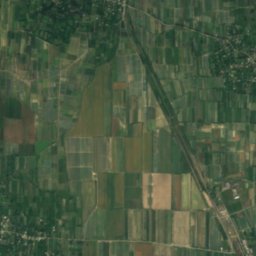
5.8 km N

Charebula

River · 634 m
Charebula
Suramula
Photo: Yasuhiro Kojima · CC BY-SA 4.0 · Wikimedia CommonsReport this photo · linked, not stored
24 km W

Suramula

River
Suramula

Mountains

Arjevani
Photo: Yasuhiro Kojima · CC BY-SA 4.0 · Wikimedia CommonsReport this photo · linked, not stored
30 km SW

Arjevani

2,757 m · Trialeti Range
Arjevani
Murknevi
Photo: Yasuhiro Kojima · CC BY-SA 4.0 · Wikimedia CommonsReport this photo · linked, not stored
36 km SW

Murknevi

2,342 m
Murknevi
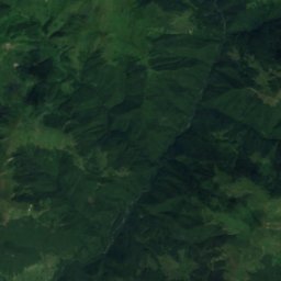
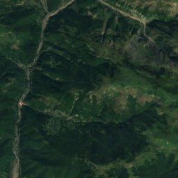
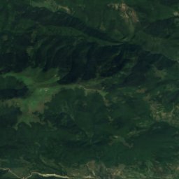
Satellite: Sentinel-2 cloudless 2016 by EOX IT Services GmbH · CC BY 4.0 · Contains modified Copernicus Sentinel data 2016
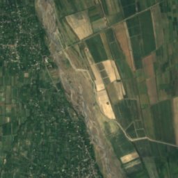
34 km NE

Zemakuri

2,119 m · Kharuli Range
Zemakuri

Heritage

Gori Fortress
Photo: Armineaghayan · CC BY-SA 4.0 · Wikimedia CommonsReport this photo · linked, not stored
0.4 km W

Gori Fortress

Cultural Monuments of National Importance of Georgia
Gori Fortress
Gori city hall
Photo: Andrzej Wójtowicz from Poznań, Poland · CC BY-SA 2.0 · Wikimedia CommonsReport this photo · linked, not stored
0.4 km S

Gori city hall

Cultural heritage in Georgia
Gori city hall
Uplistsikhe
Photo: EvgenyGenkin · CC BY-SA 3.0 · Wikimedia CommonsReport this photo · linked, not stored
8.1 km E

Uplistsikhe

Cultural Monuments of National Importance of Georgia · 2000 BC
Uplistsikhe

Museums

Joseph Stalin Museum
Photo: Stolbovsky · CC BY-SA 3.0 · Wikimedia CommonsReport this photo · linked, not stored
0.2 km N

Joseph Stalin Museum

Biographical museum · 1937
Joseph Stalin Museum
Gori Ethnographic Museum
Photo: Surprizi · CC BY-SA 4.0 · Wikimedia CommonsReport this photo · linked, not stored
0.2 km NW

Gori Ethnographic Museum

Gori Ethnographic Museum
Satellite: Sentinel-2 cloudless 2016 by EOX IT Services GmbH · CC BY 4.0 · Contains modified Copernicus Sentinel data 2016
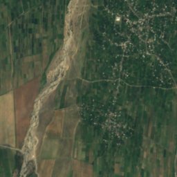
15 km SE

Ivane Javakhisvili House Museum

Historic house museum
Ivane Javakhisvili House Museum