Photo: Paata vardanashvili · CC BY-SA 4.0 · Wikimedia Commons
Kolkheti National ParkReport this photo · linked, not stored
Kolkheti National ParkKolkheti National ParkReport this photo · linked, not stored

Photo: Yasuhiro Kojima · CC BY-SA 4.0 · Wikimedia Commons
Tsivi RiverReport this photo · linked, not stored
Tsivi RiverTsivi RiverReport this photo · linked, not stored
RiverPoti, Samegrelo and Zemo Svaneti
Kaparcha
RiverBest May–Jun · Oct
Elevation–above sea level
Length7.0 kmsource to mouth
Nearest townPoti1.6 km
42.14° N, 41.69° EUTC+4 · Georgia Standard Time
When to goPoti · weather score
Best timeMay–Jun · Oct
October: high / low22° / 13°
River
Kaparcha in brief
Kaparcha is a river in Poti, Samegrelo and Zemo Svaneti, Georgia.
The nearest town in the atlas is Poti, 1.6 km to the W, where the weather is best in May, June and October.
Kaparcha is 7.0 km long.
Weather nearby now
Forecast for Poti18°
Cloudy now
Today
22 Oct
22°
15°
8 mm
Fri
23 Oct
26°
14°
Sat
24 Oct
26°
16°
Sun
25 Oct
23°
14°
Mon
26 Oct
26°
16°
Model run 00:00 UTCRefreshed several times a day
The course of the river
As mapped in OpenStreetMap, with the towns of the atlas along its banks.- 1Poti6 m
sourcemouth (or where the mapped line leaves the country)
Map
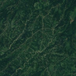
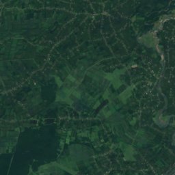
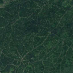
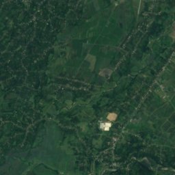
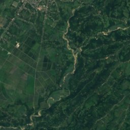
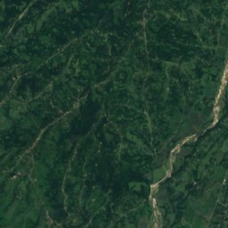
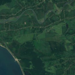
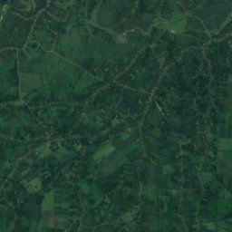
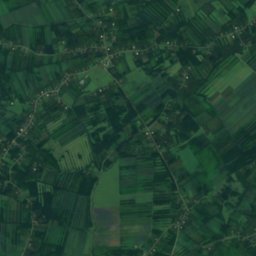
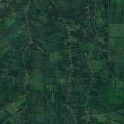
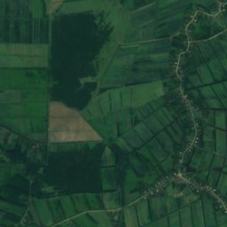
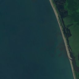
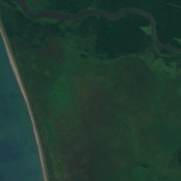
Kaparcha from above
Nature nearbyAll of Georgia

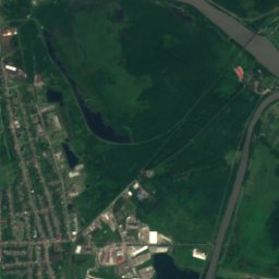
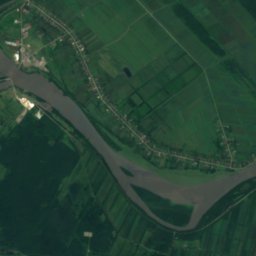
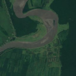
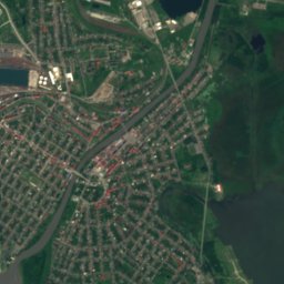
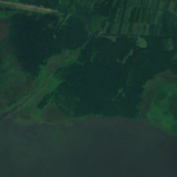
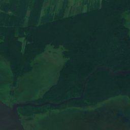
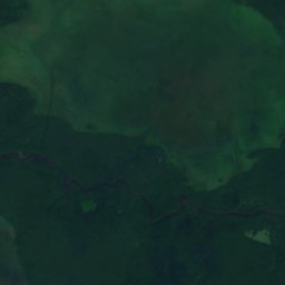
Satellite: Sentinel-2 cloudless 2016 by EOX IT Services GmbH · CC BY 4.0 · Contains modified Copernicus Sentinel data 2016



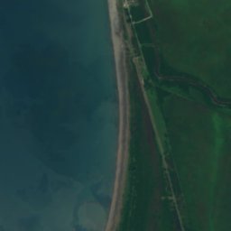



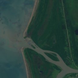
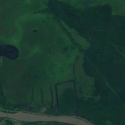



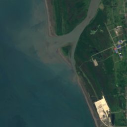
Satellite: Sentinel-2 cloudless 2016 by EOX IT Services GmbH · CC BY 4.0 · Contains modified Copernicus Sentinel data 2016
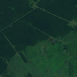
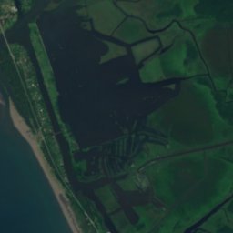
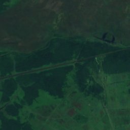
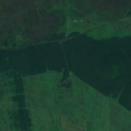
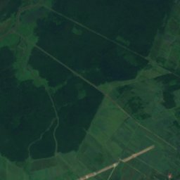
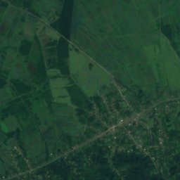
Satellite: Sentinel-2 cloudless 2016 by EOX IT Services GmbH · CC BY 4.0 · Contains modified Copernicus Sentinel data 2016
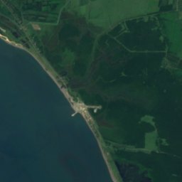
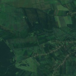
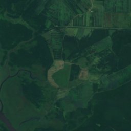
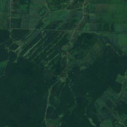
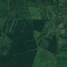
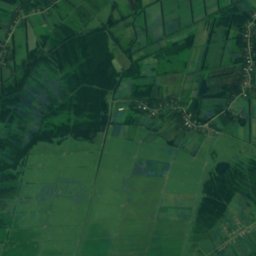
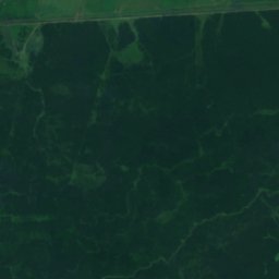
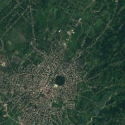
Satellite: Sentinel-2 cloudless 2016 by EOX IT Services GmbH · CC BY 4.0 · Contains modified Copernicus Sentinel data 2016

Stay nearby
Towns close by


Around here
Poti and around
Nature
Satellite: Sentinel-2 cloudless 2016 by EOX IT Services GmbH · CC BY 4.0 · Contains modified Copernicus Sentinel data 2016
Rioni
River
Satellite: Sentinel-2 cloudless 2016 by EOX IT Services GmbH · CC BY 4.0 · Contains modified Copernicus Sentinel data 2016
Lake Smaller Paliostomi
Lake