
Photo: Yasuhiro Kojima · CC BY-SA 4.0 · Wikimedia Commons
Bubis-TskaliReport this photo · linked, not stored
Bubis-TskaliReport this photo · linked, not stored

Photo: Yasuhiro Kojima · CC BY-SA 4.0 · Wikimedia Commons
NatsaruliReport this photo · linked, not stored
NatsaruliNatsaruliReport this photo · linked, not stored

Photo: Aleksey Ageychenko · CC BY-SA 4.0 · Wikimedia Commons
Tsey GlacierReport this photo · linked, not stored
Tsey GlacierTsey GlacierReport this photo · linked, not stored
 Chanchakhi
RiverKvaisi, Racha-Lechkhumi and Kvemo Svaneti
Bubis-Tskali
River1,536 m elevationBest Jul–Sep
Elevation1,536 mabove sea level
Length10.0 kmsource to mouth
Nearest townKvaisi26 km
42.75° N, 43.75° EElevation 1,536 mUTC+4 · Georgia Standard Time
When to goKvaisi · weather score
Best timeJul–Sep
October: high / low12° / 5°
River
Bubis-Tskali in brief
Bubis-Tskali is a river in Kvaisi, Racha-Lechkhumi and Kvemo Svaneti, Georgia.
It lies at 1,536 m above sea level.
The nearest town is Kvaisi, 26 km to the S, where the weather is best in July, August and September.
Bubis-Tskali is 10.0 km long.
Weather nearby now
Forecast for Kvaisi7°
Clear now
Today
26 Oct
14°
7°
Tue
27 Oct
15°
7°
Wed
28 Oct
16°
9°
Thu
29 Oct
12°
10°
Fri
30 Oct
11°
8°
5 mm
Model run 12:00 UTCRefreshed several times a day
When to go
Climate of KvaisiThe best months around Bubis-Tskali
Month score in Kvaisi
Comfort, dry days and sunshine · out of 10027
Jan
23
Feb
18
Mar
19
Apr
43
May
64
Jun
69
Jul
79
Aug
73
Sep
42
Oct
35
Nov
30
Dec
Map
Bubis-Tskali from above
Nature nearbyAll of Georgia
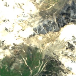
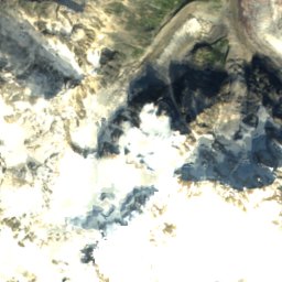
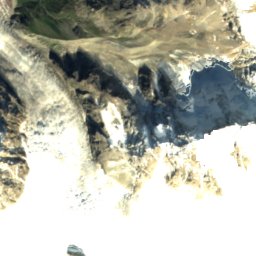
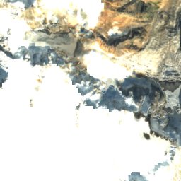
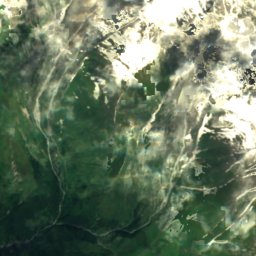
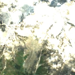
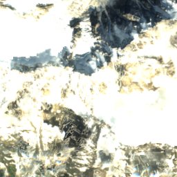
Satellite: Sentinel-2 cloudless 2016 by EOX IT Services GmbH · CC BY 4.0 · Contains modified Copernicus Sentinel data 2016
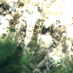
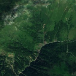
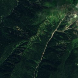
Satellite: Sentinel-2 cloudless 2016 by EOX IT Services GmbH · CC BY 4.0 · Contains modified Copernicus Sentinel data 2016
Satellite: Sentinel-2 cloudless 2016 by EOX IT Services GmbH · CC BY 4.0 · Contains modified Copernicus Sentinel data 2016
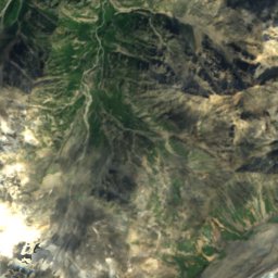
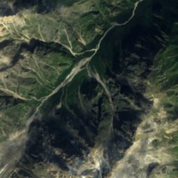
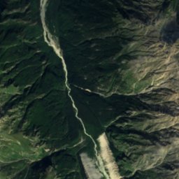
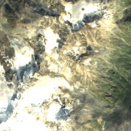
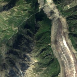
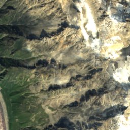
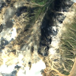
Satellite: Sentinel-2 cloudless 2016 by EOX IT Services GmbH · CC BY 4.0 · Contains modified Copernicus Sentinel data 2016


Summits nearbyMountains of Georgia
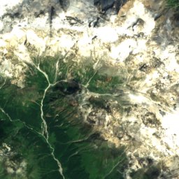
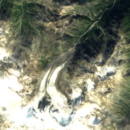
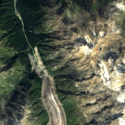
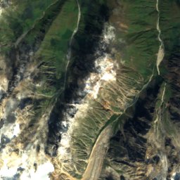
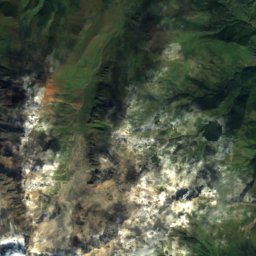
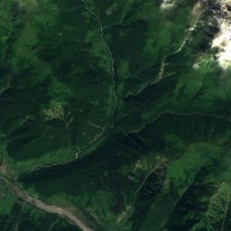
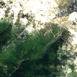
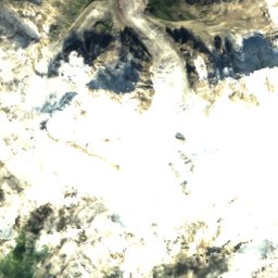
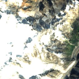
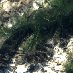
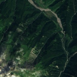
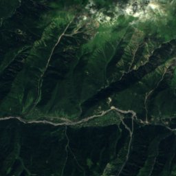
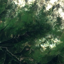
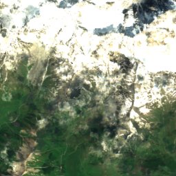
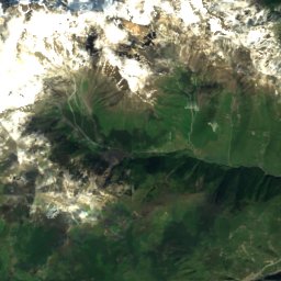
Satellite: Sentinel-2 cloudless 2016 by EOX IT Services GmbH · CC BY 4.0 · Contains modified Copernicus Sentinel data 2016

Satellite: Sentinel-2 cloudless 2016 by EOX IT Services GmbH · CC BY 4.0 · Contains modified Copernicus Sentinel data 2016
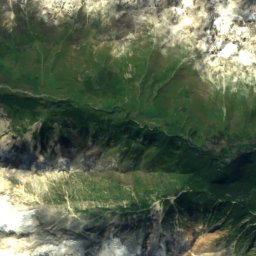
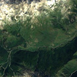
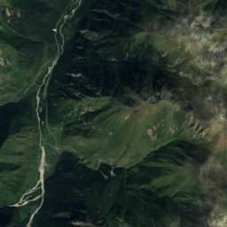
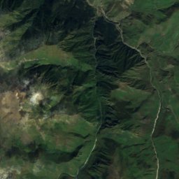
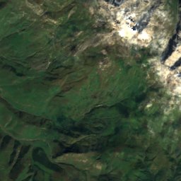
Satellite: Sentinel-2 cloudless 2016 by EOX IT Services GmbH · CC BY 4.0 · Contains modified Copernicus Sentinel data 2016
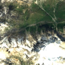
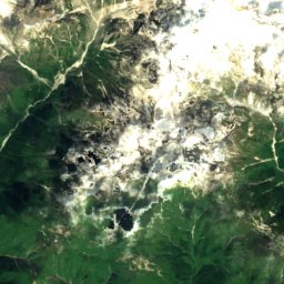
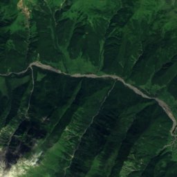
Satellite: Sentinel-2 cloudless 2016 by EOX IT Services GmbH · CC BY 4.0 · Contains modified Copernicus Sentinel data 2016
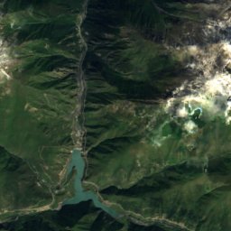
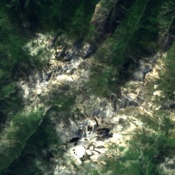
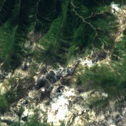
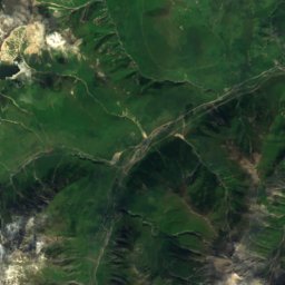
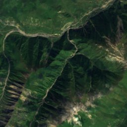
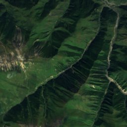
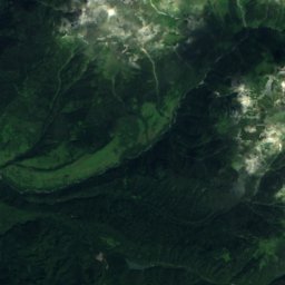
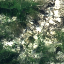
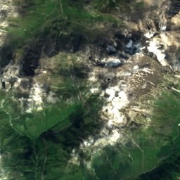
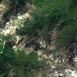
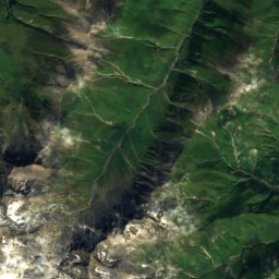
Satellite: Sentinel-2 cloudless 2016 by EOX IT Services GmbH · CC BY 4.0 · Contains modified Copernicus Sentinel data 2016
Stay nearby
Towns close by
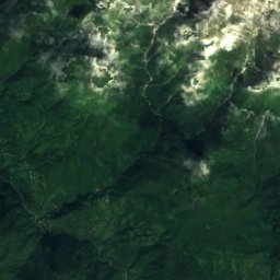
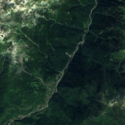
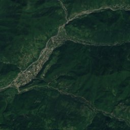
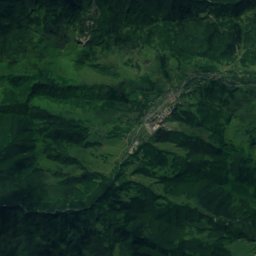
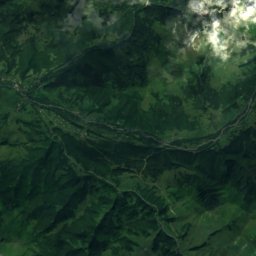
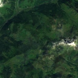
Satellite: Sentinel-2 cloudless 2016 by EOX IT Services GmbH · CC BY 4.0 · Contains modified Copernicus Sentinel data 2016
Kvaisi
Racha-Lechkhumi and Kvemo Svaneti · 26 km S
12°Oct high
11wet days
42score


Around here
Kvaisi and around
Nature

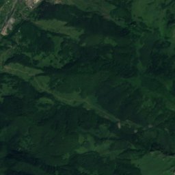
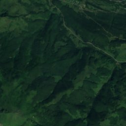
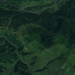
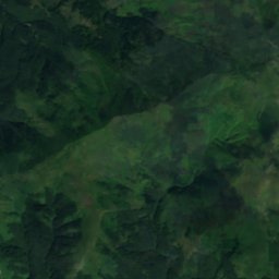
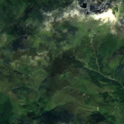
Satellite: Sentinel-2 cloudless 2016 by EOX IT Services GmbH · CC BY 4.0 · Contains modified Copernicus Sentinel data 2016
Ertso Lake
Lake · 1,710 m
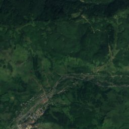
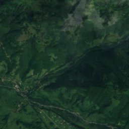
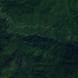
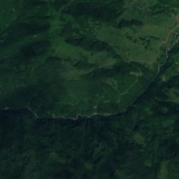
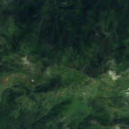
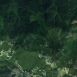


Satellite: Sentinel-2 cloudless 2016 by EOX IT Services GmbH · CC BY 4.0 · Contains modified Copernicus Sentinel data 2016
Tsona Cave
Cave
Mountains
Satellite: Sentinel-2 cloudless 2016 by EOX IT Services GmbH · CC BY 4.0 · Contains modified Copernicus Sentinel data 2016
Uilpata
4,649 m · Greater Caucasus