
Photo: ℍenry Salomé · CC BY-SA 3.0 · Wikimedia Commons
VaucouleursReport this photo · linked, not stored
VaucouleursReport this photo · linked, not stored

Photo: Martin Greslou · CC BY-SA 3.0 · Wikimedia Commons
île aux DamesReport this photo · linked, not stored
île aux Damesîle aux DamesReport this photo · linked, not stored

Photo: GFreihalter · CC BY-SA 3.0 · Wikimedia Commons
île de JuziersReport this photo · linked, not stored
île de Juziersîle de JuziersReport this photo · linked, not stored
RiverMantes-la-Jolie, Île-de-France
Vaucouleurs
RiverBest Jun–Jul · Sep
Elevation–above sea level
Length22 kmsource to mouth
Nearest townMantes-la-Jolie1.2 km
48.98° N, 1.73° EUTC+2 · Central European Summer Time
When to goMantes-la-Jolie · weather score
Best timeJun–Jul · Sep
October: high / low17° / 8°
River
Vaucouleurs in brief
Vaucouleurs is a river in Mantes-la-Jolie, Île-de-France, France.
The nearest town in the atlas is Mantes-la-Jolie, 1.2 km to the NW, where the weather is best in June, July and September.
Vaucouleurs is 22 km long.
Weather nearby now
Forecast for Mantes-la-Jolie15°
Rain now
Today
22 Oct
16°
8°
3 mm
Fri
23 Oct
14°
7°
7 mm
Sat
24 Oct
13°
6°
10 mm
Sun
25 Oct
16°
11°
11 mm
Mon
26 Oct
17°
8°
4 mm
Model run 00:00 UTCRefreshed several times a day
The course of the river
As mapped in OpenStreetMap, with the towns of the atlas along its banks.- 1Limay52 m
- 2Mantes-la-Jolie41 m
- 3Mantes-la-Ville80 m
- 4Magnanville140 m
- 5Guerville92 m
- 6Breuil-Bois-Robert128 m
- 7Soindres117 m
- 8Vert64 m
- 9Rosay58 m
- 10Villette50 m
sourcemouth (or where the mapped line leaves the country)
Map
Vaucouleurs from above
Nature nearbyAll of France

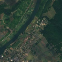
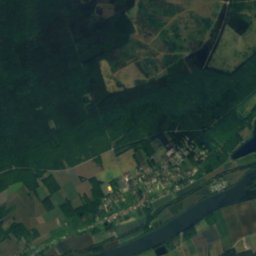
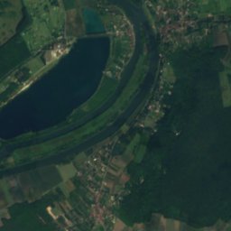
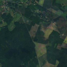
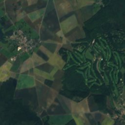
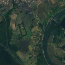
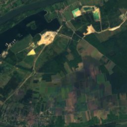
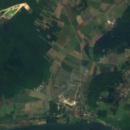
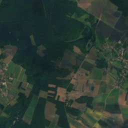
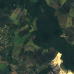
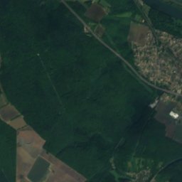
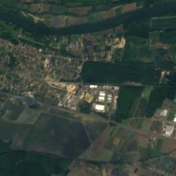
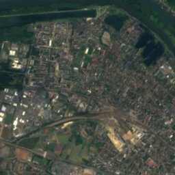
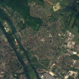
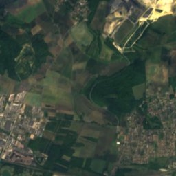
Satellite: Sentinel-2 cloudless 2016 by EOX IT Services GmbH · CC BY 4.0 · Contains modified Copernicus Sentinel data 2016
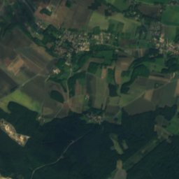
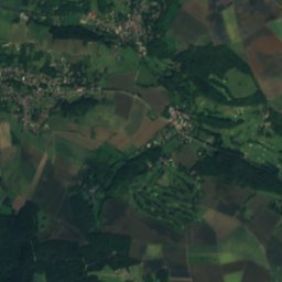
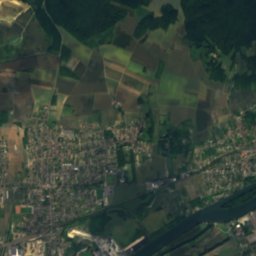
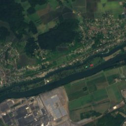
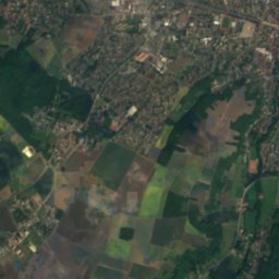
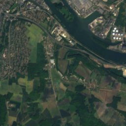
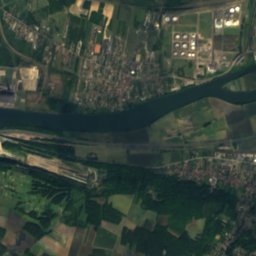
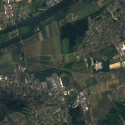
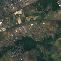
Satellite: Sentinel-2 cloudless 2016 by EOX IT Services GmbH · CC BY 4.0 · Contains modified Copernicus Sentinel data 2016
Satellite: Sentinel-2 cloudless 2016 by EOX IT Services GmbH · CC BY 4.0 · Contains modified Copernicus Sentinel data 2016
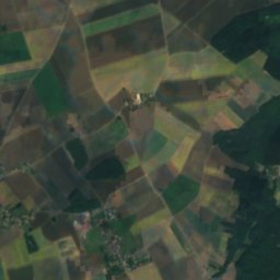
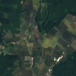
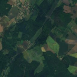
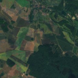
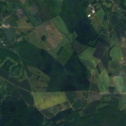
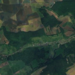
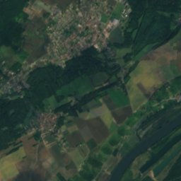
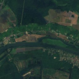
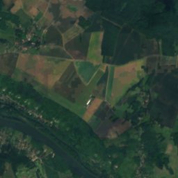
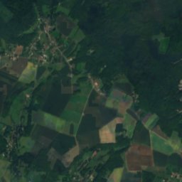
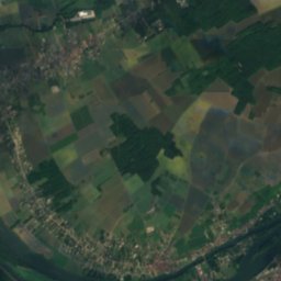
Satellite: Sentinel-2 cloudless 2016 by EOX IT Services GmbH · CC BY 4.0 · Contains modified Copernicus Sentinel data 2016

Stay nearby
Towns close by


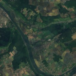
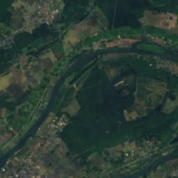
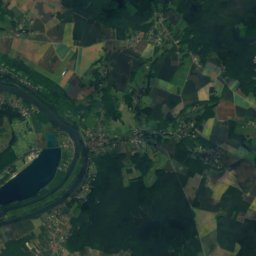
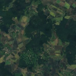
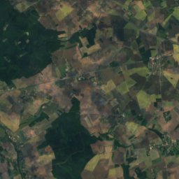
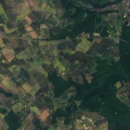
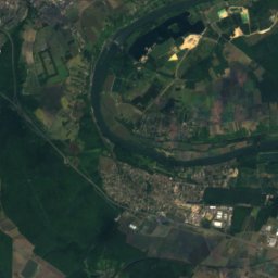
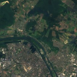
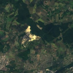
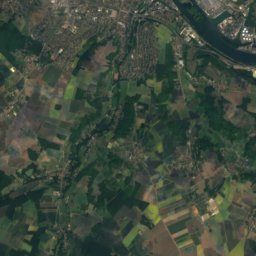
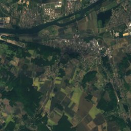
Satellite: Sentinel-2 cloudless 2016 by EOX IT Services GmbH · CC BY 4.0 · Contains modified Copernicus Sentinel data 2016
Magnanville
Île-de-France · 3.9 km SW
16°Oct high
12wet days
55score
Around here
Mantes-la-Jolie and around

Mantes-la-Jolie
Île-de-France · France
Jun–Jul · Sepbest months
26°July high
41 maltitude
Nature
Satellite: Sentinel-2 cloudless 2016 by EOX IT Services GmbH · CC BY 4.0 · Contains modified Copernicus Sentinel data 2016
Mauldre
River


Heritage


Photo: The original uploader was Spedona at French Wikipedia. · CC BY-SA 3.0 · Wikimedia CommonsReport this photo · linked, not stored
Église Saint-Maclou de Mantes
classified historical monument

Église Sainte-Anne de Gassicourt
classified historical monument
Museums
Satellite: Sentinel-2 cloudless 2016 by EOX IT Services GmbH · CC BY 4.0 · Contains modified Copernicus Sentinel data 2016
Musée de l'Hôtel-Dieu, Mantes-la-Jolie




Satellite: Sentinel-2 cloudless 2016 by EOX IT Services GmbH · CC BY 4.0 · Contains modified Copernicus Sentinel data 2016
Musée Victor Aubert
1938