
 Briant

Photo: matthias loiseau · CC BY-SA 4.0 · Wikimedia Commons
Grottes de la Devèze-RoquebleueReport this photo · linked, not stored
Grottes de la Devèze-RoquebleueGrottes de la Devèze-RoquebleueReport this photo · linked, not stored

Photo: JYB Devot · CC BY-SA 4.0 · Wikimedia Commons
Grotte d'AldèneReport this photo · linked, not stored
Grotte d'AldèneGrotte d'AldèneReport this photo · linked, not stored

Photo: Jcb-caz-11 · CC BY-SA 4.0 · Wikimedia Commons
Pic de NoreReport this photo · linked, not stored
Pic de NorePic de NoreReport this photo · linked, not stored
RiverRieussec, Occitanie
Thoré
RiverBest Jun–Jul · Sep
Elevation–above sea level
Length62 kmsource to mouth
Nearest townRieussec2.9 km
43.44° N, 2.72° EUTC+2 · Central European Summer Time
When to goRieussec · weather score
Best timeJun–Jul · Sep
October: high / low18° / 9°
River
Thoré in brief
Thoré is a river in Rieussec, Occitanie, France.
The nearest town in the atlas is Rieussec, 2.9 km to the SE, where the weather is best in June, July and September.
Thoré is 62 km long.
Weather nearby now
Forecast for Rieussec15°
Cloudy now
Today
22 Oct
15°
7°
Fri
23 Oct
13°
8°
3 mm
Sat
24 Oct
13°
8°
3 mm
Sun
25 Oct
16°
9°
2 mm
Mon
26 Oct
20°
12°
2 mm
Model run 00:00 UTCRefreshed several times a day
The course of the river
As mapped in OpenStreetMap, with the towns of the atlas along its banks.- 1Lacabarède328 m
- 2Rouairoux574 m
- 3Sauveterre330 m
- 4Albine333 m
- 5Saint-Amans-Soult275 m
- 6Saint-Amans-Valtoret285 m
sourcemouth (or where the mapped line leaves the country)
When to go
Climate of RieussecThe best months around Thoré
Month score in Rieussec
Comfort, dry days and sunshine · out of 10026
Jan
33
Feb
46
Mar
58
Apr
74
May
83
Jun
81
Jul
76
Aug
82
Sep
66
Oct
35
Nov
27
Dec
Map
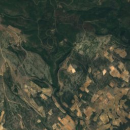
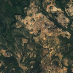
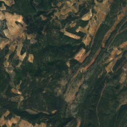
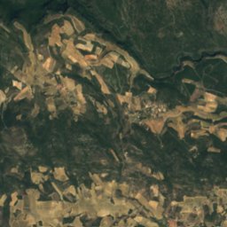
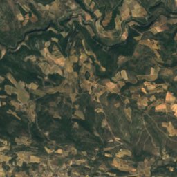
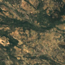
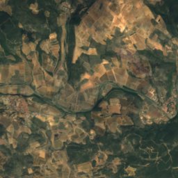
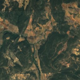
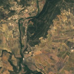
Thoré from above
Nature nearbyAll of France


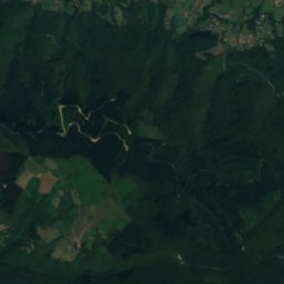
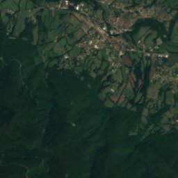
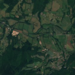
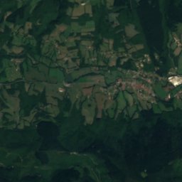
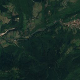
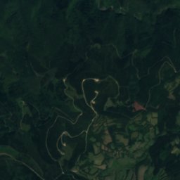
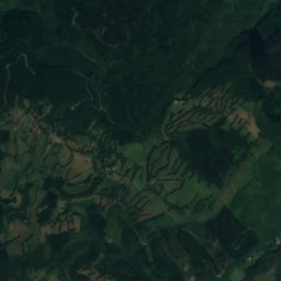
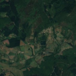
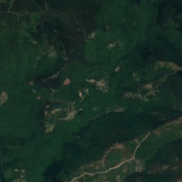
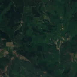
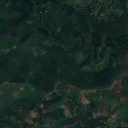
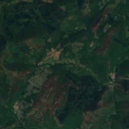
Satellite: Sentinel-2 cloudless 2016 by EOX IT Services GmbH · CC BY 4.0 · Contains modified Copernicus Sentinel data 2016
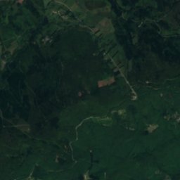
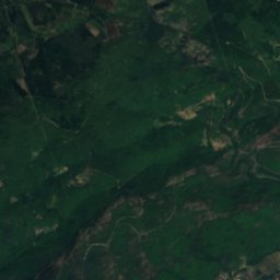
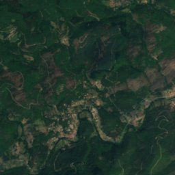
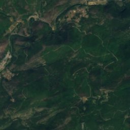
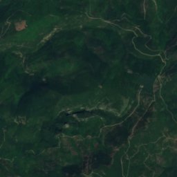
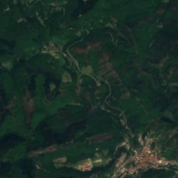
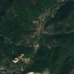
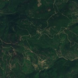
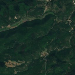
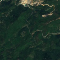
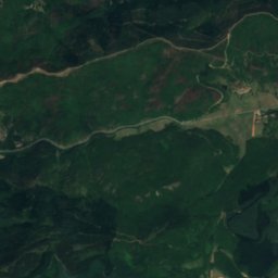
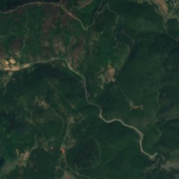
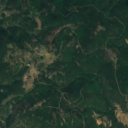
Satellite: Sentinel-2 cloudless 2016 by EOX IT Services GmbH · CC BY 4.0 · Contains modified Copernicus Sentinel data 2016
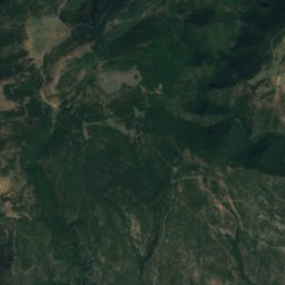
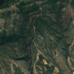
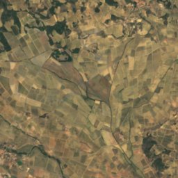
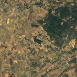
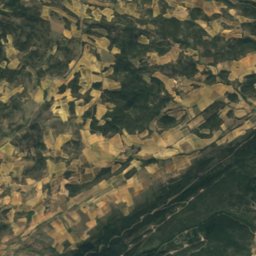
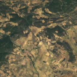
Summits nearbyMountains of France

Stay nearby
Towns close by

Photo: Kaotica at English Wikipedia · Public domain · Wikimedia CommonsReport this photo · linked, not stored
Rieussec
Occitanie · 2.9 km SE
18°Oct high
11wet days
66score


Photo: Archives départementales de l'Hérault (France) DAASI · CC BY-SA 4.0 · Wikimedia CommonsReport this photo · linked, not stored
Courniou
Occitanie · 3.9 km N
18°Oct high
11wet days
69score

Around here
Rieussec and around
Photo: Kaotica at English Wikipedia · Public domain · Wikimedia CommonsReport this photo · linked, not stored
Rieussec
Occitanie · France
Jun–Jul · Sepbest months
27°July high
495 maltitude
Nature
Mountains


Heritage

Saint-Pons-de-Thomières Cathedral
classified historical monument

Pipe organ of Cathédrale Saint-Pons de Saint-Pons-de-Thomières
object classified as a historical monument · 1772

Chapelle Saint-Germain de Cesseras
classified historical monument
Museums

Musée de préhistoire régionale de Saint-Pons-de-Thomières

Musée paléontologique et archéologique de Minerve
Archaeological museum · 1967


