Skip to content
Destinations
Weather & climate
Nature
Outdoors
Culture
Events
Sky & live
Thin
Photo: Havang(nl) · CC0 · Wikimedia Commons
ThinReport this photo · linked, not stored
Sormonne
Photo: Havang(nl) · CC0 · Wikimedia Commons
SormonneReport this photo · linked, not stored
Sormonne
Lac des Vieilles Forges
Photo: RouKs · CC BY-SA 3.0 · Wikimedia Commons
Lac des Vieilles ForgesReport this photo · linked, not stored
Lac des Vieilles Forges
Goutelle
Photo: Garitan · CC BY-SA 3.0 · Wikimedia Commons
GoutelleReport this photo · linked, not stored
Goutelle
Bairon
Photo: François GOGLINS · CC BY-SA 4.0 · Wikimedia Commons
BaironReport this photo · linked, not stored
Bairon
RiverHaudrecy, Grand Est

Thin

RiverBest Jun–Jul · Sep
Elevation–above sea level
Length22 kmsource to mouth
Nearest townHaudrecy0.3 km
49.79° N, 4.61° EUTC+2 · Central European Summer Time
When to goHaudrecy · weather score
JanFebMarAprMayJunJulAugSepOctNovDec44October
Best timeJun–Jul · Sep
October: high / low15° / 7°
River

Thin in brief

Thin is a river in Haudrecy, Grand Est, France.

The nearest town is Haudrecy, 0.3 km to the S, where the weather is best in June, July and September.

Thin is 22 km long.

Haudrecy: weather and travel guide

Weather nearby now

Forecast for Haudrecy
7°
Rain now
Wind31 km/h
Humidity90%
Cloud cover100%
Today
23 Oct
12°
6°
4 mm
Sat
24 Oct
11°
4°
15 mm
Sun
25 Oct
13°
8°
35 mm
Mon
26 Oct
12°
6°
2 mm
Tue
27 Oct
18°
11°
2 mm

Model run 12:00 UTCRefreshed several times a day

When to go

The best months around Thin

Climate of Haudrecy

Month score in Haudrecy

Comfort, dry days and sunshine · out of 100
15
Jan
19
Feb
27
Mar
57
Apr
62
May
65
Jun
65
Jul
65
Aug
72
Sep
44
Oct
15
Nov
14
Dec
Map

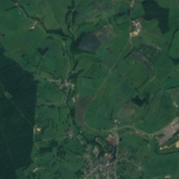
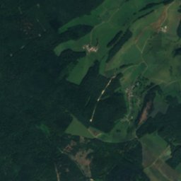
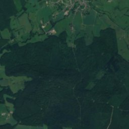
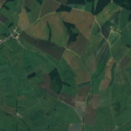
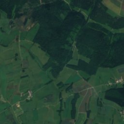
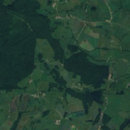
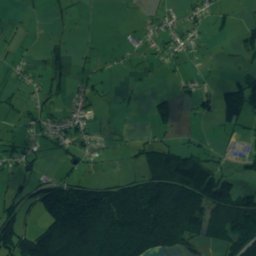
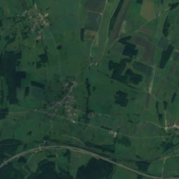
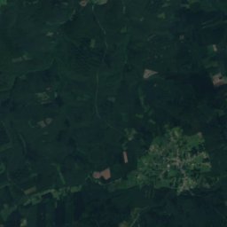
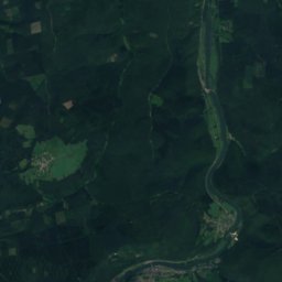
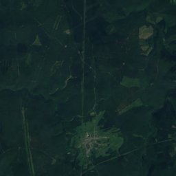
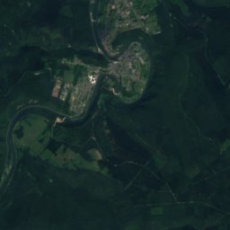
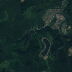
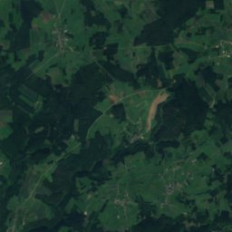
Thin from above

Nature nearbyAll of France
Photo: Havang(nl) · CC0 · Wikimedia CommonsReport this photo · linked, not stored
SormonneRiver5.5 kmESormonne
Photo: RouKs · CC BY-SA 3.0 · Wikimedia CommonsReport this photo · linked, not stored
Lac des Vieilles ForgesLake9.4 kmNLac des Vieilles Forges
Photo: Garitan · CC BY-SA 3.0 · Wikimedia CommonsReport this photo · linked, not stored
GoutelleRiver9.5 kmEGoutelle
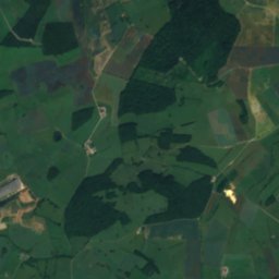
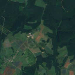
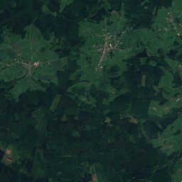
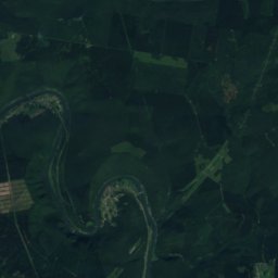
Satellite: Sentinel-2 cloudless 2016 by EOX IT Services GmbH · CC BY 4.0 · Contains modified Copernicus Sentinel data 2016
VenceRiver14 kmSWVence
Photo: RouKs · CC BY-SA 3.0 · Wikimedia CommonsReport this photo · linked, not stored
FauxRiver16 kmNFaux
Photo: François GOGLINS · CC BY-SA 4.0 · Wikimedia CommonsReport this photo · linked, not stored
BaironRiver18 kmSBairon
Summits nearbyMountains of France
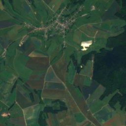
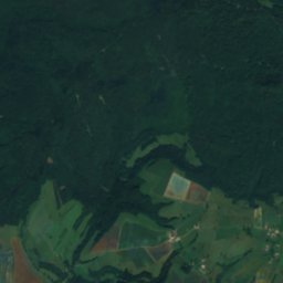
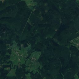
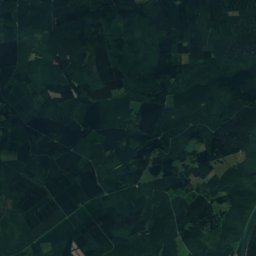
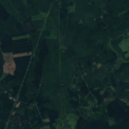
Satellite: Sentinel-2 cloudless 2016 by EOX IT Services GmbH · CC BY 4.0 · Contains modified Copernicus Sentinel data 2016
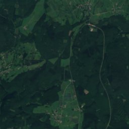
Bois des Haies25 km NE505 mJuly 22°Bois des Haies
Photo: Ad Meskens · CC BY-SA 3.0 · Wikimedia CommonsReport this photo · linked, not stored
Mont-Olympe Charleville-Mézières8.1 km E197 mJuly 25°Mont-Olympe Charleville-Mézières
Stay nearby

Towns close by

Haudrecy
Photo: Havang(nl) · CC0 · Wikimedia CommonsReport this photo · linked, not stored

Haudrecy

Grand Est · 0.3 km S
15°Oct high
14wet days
44score
Haudrecy
Ham-les-Moines
Photo: Havang(nl) · CC0 · Wikimedia CommonsReport this photo · linked, not stored

Ham-les-Moines

Grand Est · 1.5 km NW
15°Oct high
14wet days
44score
Ham-les-Moines
Belval
Photo: Havang(nl) · CC0 · Wikimedia CommonsReport this photo · linked, not stored

Belval

Grand Est · 2.0 km SE
15°Oct high
14wet days
45score
Belval
Tournes
Photo: Titoine08 · CC BY-SA 3.0 · Wikimedia CommonsReport this photo · linked, not stored

Tournes

Grand Est · 2.0 km NE
15°Oct high
14wet days
44score
Tournes
Around here

Haudrecy and around

Haudrecy
Photo: Havang(nl) · CC0 · Wikimedia CommonsReport this photo · linked, not stored

Haudrecy

Grand Est · France
Jun–Jul · Sepbest months
25°July high
157 maltitude
Haudrecy

Nature

Sormonne
Photo: Havang(nl) · CC0 · Wikimedia CommonsReport this photo · linked, not stored
5.5 km E

Sormonne

River
Sormonne
Lac des Vieilles Forges
Photo: RouKs · CC BY-SA 3.0 · Wikimedia CommonsReport this photo · linked, not stored
9.7 km N

Lac des Vieilles Forges

Lake · 340 m
Lac des Vieilles Forges
Goutelle
Photo: Garitan · CC BY-SA 3.0 · Wikimedia CommonsReport this photo · linked, not stored
9.6 km E

Goutelle

River
Goutelle

Mountains

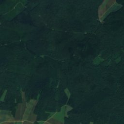
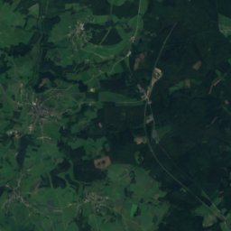
Satellite: Sentinel-2 cloudless 2016 by EOX IT Services GmbH · CC BY 4.0 · Contains modified Copernicus Sentinel data 2016
25 km NE

Bois des Haies

505 m · Ardennes massif
Bois des Haies
Mont-Olympe Charleville-Mézières
Photo: Ad Meskens · CC BY-SA 3.0 · Wikimedia CommonsReport this photo · linked, not stored
8.0 km E

Mont-Olympe Charleville-Mézières

197 m · Ardennes massif
Mont-Olympe Charleville-Mézières

Heritage

Église Saint-Martin de Tournes
Photo: NEUVENS Francis · CC BY-SA 3.0 · Wikimedia CommonsReport this photo · linked, not stored
2.1 km NE

Église Saint-Martin de Tournes

classified historical monument
Église Saint-Martin de Tournes
Église Saint-Martin de Cliron
Photo: Adri08 · CC BY-SA 3.0 · Wikimedia CommonsReport this photo · linked, not stored
2.7 km N

Église Saint-Martin de Cliron

monument historique inscrit
Église Saint-Martin de Cliron
Town hall (Charleville-Mézières)
Photo: Claireli08 · CC BY-SA 4.0 · Wikimedia CommonsReport this photo · linked, not stored
8.0 km E

Town hall (Charleville-Mézières)

monument historique inscrit · 1700
Town hall (Charleville-Mézières)

Museums

Musée Rimbaud
Photo: PILOU08 · CC BY-SA 3.0 · Wikimedia CommonsReport this photo · linked, not stored
7.8 km E

Musée Rimbaud

Musée Rimbaud
Musée de l'Ardenne
Photo: © Raimond Spekking / CC BY-SA 4.0 (via Wikimedia Commons) · CC BY-SA 4.0 · Wikimedia CommonsReport this photo · linked, not stored
7.8 km E

Musée de l'Ardenne

1994
Musée de l'Ardenne
Fort des Ayvelles
Photo: Adri08 · CC BY-SA 3.0 · Wikimedia CommonsReport this photo · linked, not stored
11 km SE

Fort des Ayvelles

Military museum
Fort des Ayvelles