
 Réart

Photo: The original uploader was Leguy at French Wikipedia. · CC BY-SA 3.0 · Wikimedia Commons
AglyReport this photo · linked, not stored
AglyAglyReport this photo · linked, not stored

Photo: Jean Paul Alandry · CC BY-SA 4.0 · Wikimedia Commons
Torre de la MaçanaReport this photo · linked, not stored
Torre de la MaçanaTorre de la MaçanaReport this photo · linked, not stored
RiverSainte-Marie-Plage, Occitanie
Têt
RiverBest Apr–May · Sep
Elevation–above sea level
Length116 kmsource to mouth
Nearest townSainte-Marie-Plage1.3 km
42.71° N, 3.04° EUTC+2 · Central European Summer Time
When to goSainte-Marie-Plage · weather score
Best timeApr–May · Sep
October: high / low21° / 14°
River
Têt in brief
Têt is a river in Sainte-Marie-Plage, Occitanie, France.
The nearest town in the atlas is Sainte-Marie-Plage, 1.3 km to the N, where the weather is best in April, May and September.
Têt is 116 km long.
Weather nearby now
Forecast for Sainte-Marie-Plage19°
Cloudy now
Today
22 Oct
19°
12°
Fri
23 Oct
20°
14°
Sat
24 Oct
19°
14°
Sun
25 Oct
22°
13°
Mon
26 Oct
22°
18°
Model run 00:00 UTCRefreshed several times a day
The course of the river
As mapped in OpenStreetMap, with the towns of the atlas along its banks.- 1Prades354 m
- 2Ille-sur-Têt156 m
- 3Millas108 m
- 4Saint-Féliu-d'Avall87 m
- 5Pézilla-la-Rivière72 m
- 6Le Soler74 m
- 7Toulouges57 m
- 8Baho51 m
- 9Saint-Estève61 m
- 10Perpignan43 m
- 11Bompas16 m
- 12Villelongue-de-la-Salanque11 m
- 13Sainte-Marie-la-Mer2 m
- 14Canet-en-Roussillon2 m
sourcemouth (or where the mapped line leaves the country)
When to go
Climate of Sainte-Marie-PlageThe best months around Têt
Month score in Sainte-Marie-Plage
Comfort, dry days and sunshine · out of 10050
Jan
60
Feb
72
Mar
78
Apr
79
May
78
Jun
70
Jul
68
Aug
81
Sep
78
Oct
67
Nov
55
Dec
Map
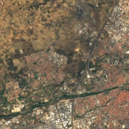
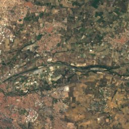
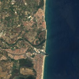
Têt from above
Nature nearbyAll of France
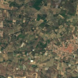
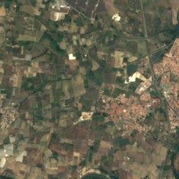
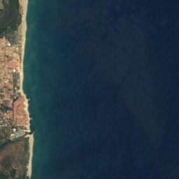


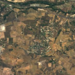
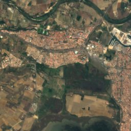
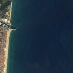


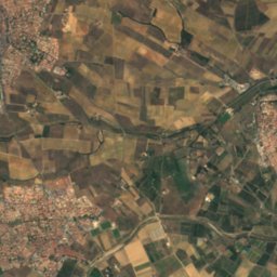
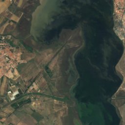
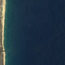


Satellite: Sentinel-2 cloudless 2016 by EOX IT Services GmbH · CC BY 4.0 · Contains modified Copernicus Sentinel data 2016
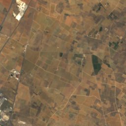
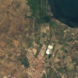
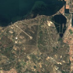
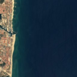

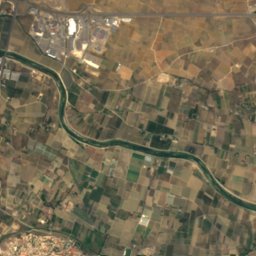
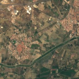
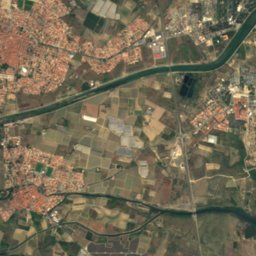
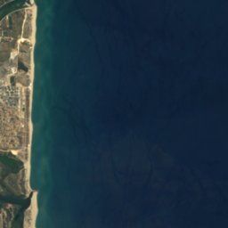

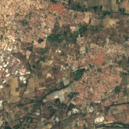
Satellite: Sentinel-2 cloudless 2016 by EOX IT Services GmbH · CC BY 4.0 · Contains modified Copernicus Sentinel data 2016
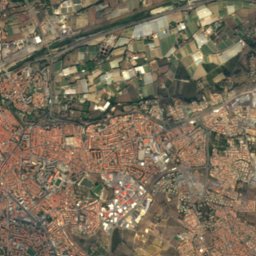
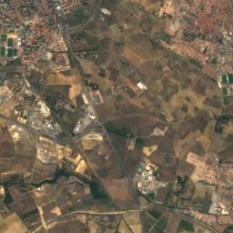
Satellite: Sentinel-2 cloudless 2016 by EOX IT Services GmbH · CC BY 4.0 · Contains modified Copernicus Sentinel data 2016
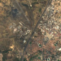
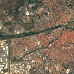
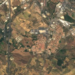
Satellite: Sentinel-2 cloudless 2016 by EOX IT Services GmbH · CC BY 4.0 · Contains modified Copernicus Sentinel data 2016
Photo: The original uploader was Leguy at French Wikipedia. · CC BY-SA 3.0 · Wikimedia CommonsReport this photo · linked, not stored
Summits nearbyMountains of France

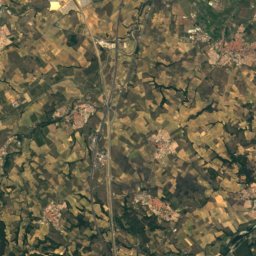
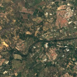
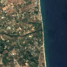


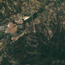
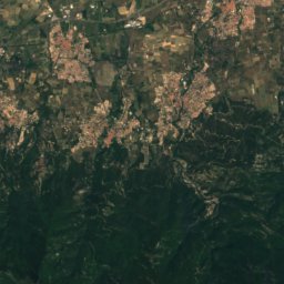
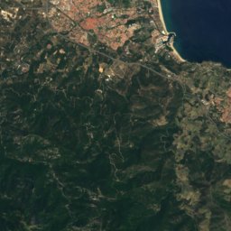
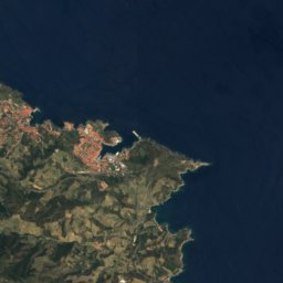

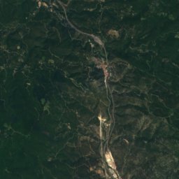
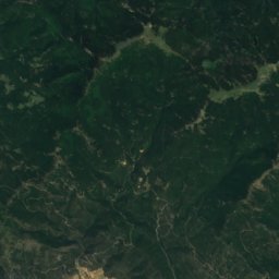
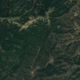
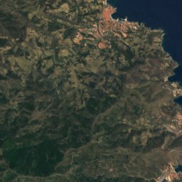
Satellite: Sentinel-2 cloudless 2016 by EOX IT Services GmbH · CC BY 4.0 · Contains modified Copernicus Sentinel data 2016
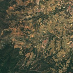
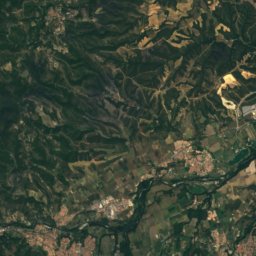
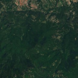
Satellite: Sentinel-2 cloudless 2016 by EOX IT Services GmbH · CC BY 4.0 · Contains modified Copernicus Sentinel data 2016
Satellite: Sentinel-2 cloudless 2016 by EOX IT Services GmbH · CC BY 4.0 · Contains modified Copernicus Sentinel data 2016
Satellite: Sentinel-2 cloudless 2016 by EOX IT Services GmbH · CC BY 4.0 · Contains modified Copernicus Sentinel data 2016
Satellite: Sentinel-2 cloudless 2016 by EOX IT Services GmbH · CC BY 4.0 · Contains modified Copernicus Sentinel data 2016
Stay nearby
Towns close by
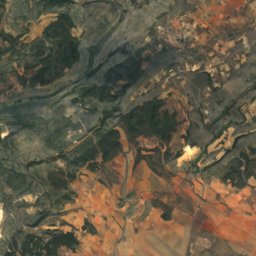
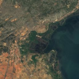
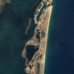


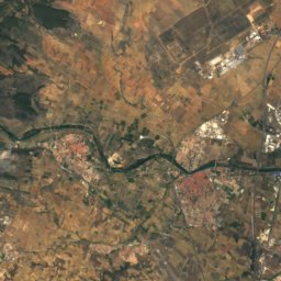
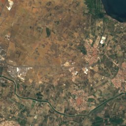
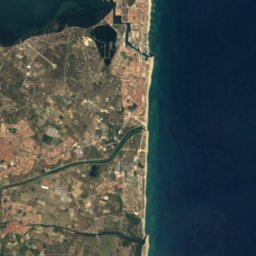




Satellite: Sentinel-2 cloudless 2016 by EOX IT Services GmbH · CC BY 4.0 · Contains modified Copernicus Sentinel data 2016
Sainte-Marie-Plage
Occitanie · 1.3 km N
21°Oct high
8wet days
78score

Photo: Photographe anonyme pour Ville de Canet-en-Roussillon · CC BY-SA 4.0 · Wikimedia CommonsReport this photo · linked, not stored
Canet-en-Roussillon
Occitanie · 2.4 km SW
21°Oct high
8wet days
78score


Around here
Sainte-Marie-Plage and around
Satellite: Sentinel-2 cloudless 2016 by EOX IT Services GmbH · CC BY 4.0 · Contains modified Copernicus Sentinel data 2016
Sainte-Marie-Plage
Occitanie · France
Apr–May · Sepbest months
30°July high
2 maltitude
Nature
Photo: The original uploader was Leguy at French Wikipedia. · CC BY-SA 3.0 · Wikimedia CommonsReport this photo · linked, not stored
Agly
River · 4 m

Photo: Christophe Marcheux (talk · contribs) · CC BY-SA 3.0 · Wikimedia CommonsReport this photo · linked, not stored
Basse
River
Mountains


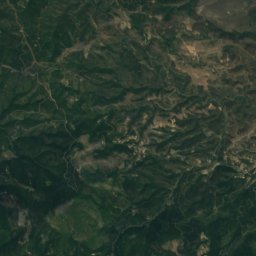
Satellite: Sentinel-2 cloudless 2016 by EOX IT Services GmbH · CC BY 4.0 · Contains modified Copernicus Sentinel data 2016
Roc dels Tres Termes
1,129 m
Heritage

Sainte-Marie Church of Sainte-Marie-la-Mer
classified historical monument


Église Saint-Étienne de Vilarasa
monument historique inscrit · 1150
Museums

Photo: Jean-Pierre Dalbéra from Paris, France · CC BY 2.0 · Wikimedia CommonsReport this photo · linked, not stored
Musée Hyacinthe-Rigaud
Art museum · 1833


Catalan Museum of Popular Arts and Traditions
1963