Skip to content
Destinations
Weather & climate
Nature
Outdoors
Culture
Events
Sky & live
Tarn
Photo: Krzysztof Golik · CC BY-SA 4.0 · Wikimedia Commons
TarnReport this photo · linked, not stored
Rieumalet
Photo: Phillip Capper from Wellington, New Zealand · CC BY 2.0 · Wikimedia Commons
RieumaletReport this photo · linked, not stored
Rieumalet
Lac de Villefort
Photo: Ancalagon · CC BY-SA 3.0 · Wikimedia Commons
Lac de VillefortReport this photo · linked, not stored
Lac de Villefort
Altier
Photo: Prankster · Public domain · Wikimedia Commons
AltierReport this photo · linked, not stored
Altier
Borne, Occitanie
Photo: Calips · CC BY-SA 3.0 · Wikimedia Commons
Borne, OccitanieReport this photo · linked, not stored
Borne, Occitanie
RiverCubières, Occitanie

Tarn

RiverBest Jul–Sep
Elevation–above sea level
Length380 kmsource to mouth
Nearest townCubières7.3 km
44.41° N, 3.81° EUTC+2 · Central European Summer Time
When to goCubières · weather score
JanFebMarAprMayJunJulAugSepOctNovDec43October
Best timeJul–Sep
October: high / low14° / 6°
River

Tarn in brief

Tarn is a river in Cubières, Occitanie, France.

The nearest town in the atlas is Cubières, 7.3 km to the NW, where the weather is best in July, August and September.

Tarn is 380 km long.

Cubières: weather and travel guide

Weather nearby now

Forecast for Cubières
11°
Cloudy now
Wind4 km/h
Humidity68%
Cloud cover95%
Today
22 Oct
13°
4°
Fri
23 Oct
10°
5°
5 mm
Sat
24 Oct
10°
4°
1 mm
Sun
25 Oct
12°
6°
2 mm
Mon
26 Oct
17°
9°

Model run 00:00 UTCRefreshed several times a day

The course of the river

As mapped in OpenStreetMap, with the towns of the atlas along its banks.
sourcemouth (or where the mapped line leaves the country)
When to go

The best months around Tarn

Climate of Cubières

Month score in Cubières

Comfort, dry days and sunshine · out of 100
26
Jan
31
Feb
32
Mar
41
Apr
62
May
78
Jun
82
Jul
81
Aug
80
Sep
43
Oct
20
Nov
25
Dec
Map

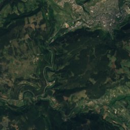
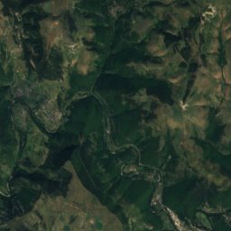
Tarn from above

Nature nearbyAll of France
Photo: Phillip Capper from Wellington, New Zealand · CC BY 2.0 · Wikimedia CommonsReport this photo · linked, not stored
RieumaletRiver7.8 kmSWRieumalet
Photo: Ancalagon · CC BY-SA 3.0 · Wikimedia CommonsReport this photo · linked, not stored
Lac de VillefortLake10 kmNELac de Villefort
Photo: Prankster · Public domain · Wikimedia CommonsReport this photo · linked, not stored
AltierRiver15 kmNEAltier
Photo: Calips · CC BY-SA 3.0 · Wikimedia CommonsReport this photo · linked, not stored
Borne, OccitanieRiver15 kmNEBorne, Occitanie
Photo: Ancalagon · CC BY-SA 3.0 · Wikimedia CommonsReport this photo · linked, not stored
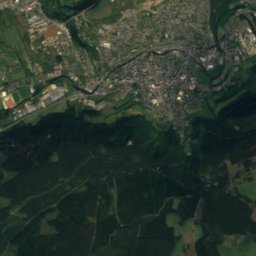
RûnesRiver16 kmSWRûnes
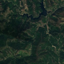
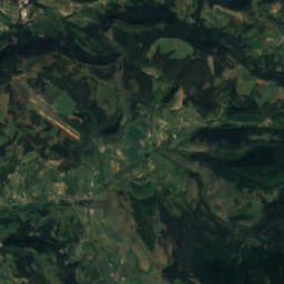
Satellite: Sentinel-2 cloudless 2016 by EOX IT Services GmbH · CC BY 4.0 · Contains modified Copernicus Sentinel data 2016
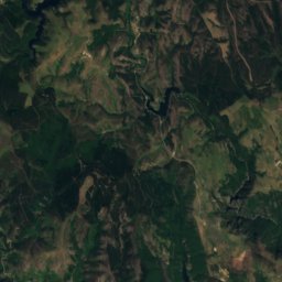
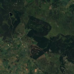
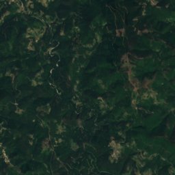
Étang de BarrandonLake16 kmWÉtang de Barrandon
Summits nearbyMountains of France
Photo: Ancalagon · CC BY-SA 3.0 · Wikimedia CommonsReport this photo · linked, not stored
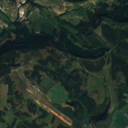
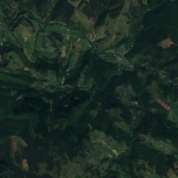
Sommet de Finiels6.1 km W1,699 mJuly 19°Sommet de Finiels
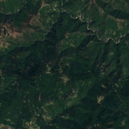
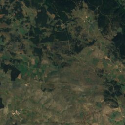
Satellite: Sentinel-2 cloudless 2016 by EOX IT Services GmbH · CC BY 4.0 · Contains modified Copernicus Sentinel data 2016
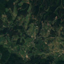
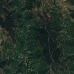
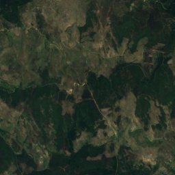
La Tete de Boeuf4.9 km SE1,587 mJuly 20°La Tete de Boeuf
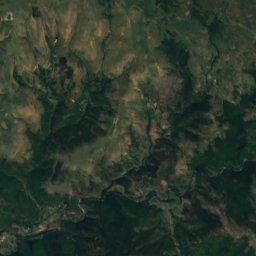
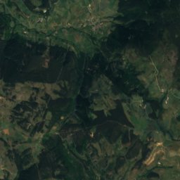
Satellite: Sentinel-2 cloudless 2016 by EOX IT Services GmbH · CC BY 4.0 · Contains modified Copernicus Sentinel data 2016
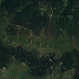
Mont Lozere - Pic Cassini3.0 km SE1,542 mJuly 19°Mont Lozere - Pic Cassini
Photo: Fabrice Charpin · CC BY-SA 3.0 · Wikimedia CommonsReport this photo · linked, not stored
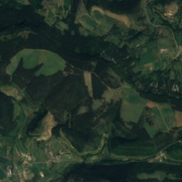
Moure de la Gardille20 km N1,505 mJuly 21°Moure de la Gardille
Photo: Weissenbachjean · CC BY-SA 4.0 · Wikimedia CommonsReport this photo · linked, not stored
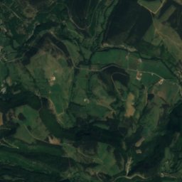
Montagne du Goulet14 km N1,497 mJuly 21°Montagne du Goulet
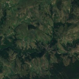
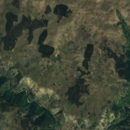
Satellite: Sentinel-2 cloudless 2016 by EOX IT Services GmbH · CC BY 4.0 · Contains modified Copernicus Sentinel data 2016
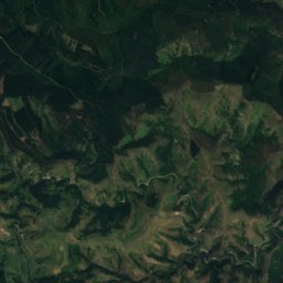
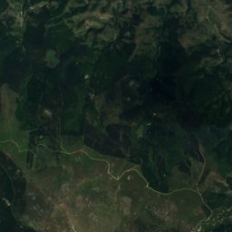
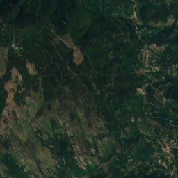
Mont Lozere - Roc des Laubies9.4 km W1,492 mJuly 20°Mont Lozere - Roc des Laubies
Stay nearby

Towns close by

Cubières
Photo: Touriste · Public domain · Wikimedia CommonsReport this photo · linked, not stored
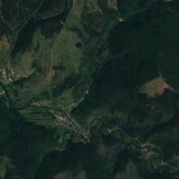
Cubières

Occitanie · 7.3 km NW
14°Oct high
12wet days
43score
Cubières
Altier
Photo: Sanguinez, CC BY-SA 3.0 <https://creativecommons.org/licenses/by-sa/3.0>, via Wi · CC BY-SA 3.0 · Wikimedia CommonsReport this photo · linked, not stored
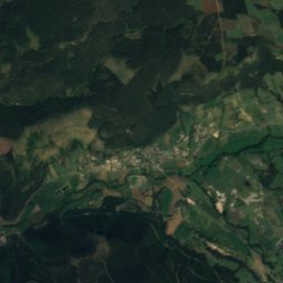
Altier

Occitanie · 7.6 km NE
16°Oct high
12wet days
55score
Altier
Villefort
Photo: Ancalagon · CC BY-SA 3.0 · Wikimedia CommonsReport this photo · linked, not stored
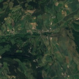
Villefort

Occitanie · 9.8 km E
17°Oct high
12wet days
59score
Villefort
Le Bleymard
Photo: Sanguinez · CC BY-SA 3.0 · Wikimedia CommonsReport this photo · linked, not stored
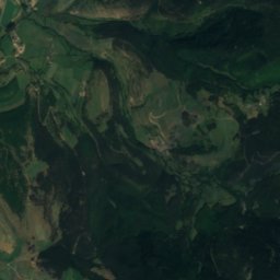
Le Bleymard

Occitanie · 10 km NW
14°Oct high
13wet days
40score
Le Bleymard
Around here

Cubières and around

Cubières
Photo: Touriste · Public domain · Wikimedia CommonsReport this photo · linked, not stored
Cubières

Occitanie · France
Jul–Sepbest months
24°July high
985 maltitude
Cubières

Nature

Lac de Charpal
Photo: Ancalagon · CC BY-SA 3.0 · Wikimedia CommonsReport this photo · linked, not stored
23 km NW

Lac de Charpal

Lake · 1,326 m
Lac de Charpal
Lac de Villefort
Photo: Ancalagon · CC BY-SA 3.0 · Wikimedia CommonsReport this photo · linked, not stored
13 km E

Lac de Villefort

Lake · 580 m
Lac de Villefort
Tarnon
Photo: Szeder László · CC BY-SA 4.0 · Wikimedia CommonsReport this photo · linked, not stored
21 km SW

Tarnon

River
Tarnon

Mountains

Sommet de Finiels
Photo: Ancalagon · CC BY-SA 3.0 · Wikimedia CommonsReport this photo · linked, not stored
5.9 km SW

Sommet de Finiels

1,699 m · Mont Lozère
Sommet de Finiels
Satellite: Sentinel-2 cloudless 2016 by EOX IT Services GmbH · CC BY 4.0 · Contains modified Copernicus Sentinel data 2016
12 km SE

La Tete de Boeuf

1,587 m
La Tete de Boeuf
Truc de Fortunio
Photo: Ancalagon · CC BY-SA 3.0 · Wikimedia CommonsReport this photo · linked, not stored
27 km NW

Truc de Fortunio

1,552 m · Margeride
Truc de Fortunio

Heritage

Château de Castanet
Photo: M Bertrand FISCHER · CC BY-SA 3.0 · Wikimedia CommonsReport this photo · linked, not stored
10 km E

Château de Castanet

monument historique inscrit · 1578
Château de Castanet
Château du Tournel
Photo: Sanguinez · CC BY-SA 3.0 · Wikimedia CommonsReport this photo · linked, not stored
6.2 km NW

Château du Tournel

monument selected by the Mission d'Identification du Patrimoine Immobilier en Péril (2019)
Château du Tournel
Chapelle de Saint-Jean-du-Bleymard
Photo: Ancalagon · CC BY-SA 3.0 · Wikimedia CommonsReport this photo · linked, not stored
4.3 km NW

Chapelle de Saint-Jean-du-Bleymard

classified historical monument
Chapelle de Saint-Jean-du-Bleymard

Museums

Satellite: Sentinel-2 cloudless 2016 by EOX IT Services GmbH · CC BY 4.0 · Contains modified Copernicus Sentinel data 2016
12 km S

Écomusée du mont Lozère

Ecomuseum
Écomusée du mont Lozère