Skip to content
Destinations
Weather & climate
Nature
Outdoors
Culture
Events
Sky & live
Talaron
Photo: Havang(nl) · CC0 · Wikimedia Commons
TalaronReport this photo · linked, not stored
Auzène
Photo: Jean-Louis Delegue · CC BY-SA 3.0 · Wikimedia Commons
AuzèneReport this photo · linked, not stored
Auzène
Dorne
Photo: Binnette · CC BY-SA 3.0 · Wikimedia Commons
DorneReport this photo · linked, not stored
Dorne
Eysse
Photo: Havang(nl) · CC0 · Wikimedia Commons
EysseReport this photo · linked, not stored
Eysse
Boyon
Photo: Kakoula10 · CC BY-SA 4.0 · Wikimedia Commons
BoyonReport this photo · linked, not stored
Boyon
RiverBeauvène, Auvergne-Rhône-Alpes

Talaron

RiverBest Apr · Jun · Sep
Elevation–above sea level
Length18 kmsource to mouth
Nearest townBeauvène1.9 km
44.88° N, 4.53° EUTC+1 · Central European Standard Time
When to goBeauvène · weather score
JanFebMarAprMayJunJulAugSepOctNovDec70October
Best timeApr · Jun · Sep
October: high / low18° / 9°
River

Talaron in brief

Talaron is a river in Beauvène, Auvergne-Rhône-Alpes, France.

The nearest town is Beauvène, 1.9 km to the W, where the weather is best in April, June and September.

Talaron is 18 km long.

Beauvène: weather and travel guide

Weather nearby now

Forecast for Beauvène
12°
Sunny now
Wind1 km/h
Humidity73%
Cloud cover0%
Today
30 Oct
17°
3°
Sat
31 Oct
16°
3°
Sun
1 Nov
11°
5°
Mon
2 Nov
9°
3°
Tue
3 Nov
11°
3°

Model run 12:00 UTCRefreshed several times a day

The course of the river

As mapped in OpenStreetMap, with the towns along its banks.
sourcemouth (or where the mapped line leaves the country)
When to go

The best months around Talaron

Climate of Beauvène

Month score in Beauvène

Comfort, dry days and sunshine · out of 100
30
Jan
37
Feb
53
Mar
70
Apr
70
May
75
Jun
66
Jul
68
Aug
82
Sep
70
Oct
37
Nov
28
Dec
Map

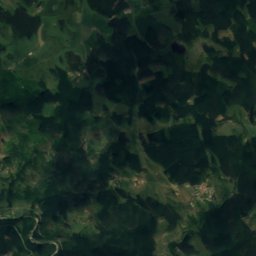
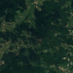
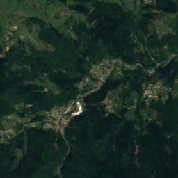
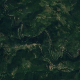
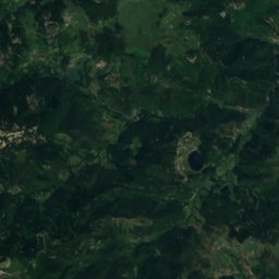
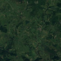
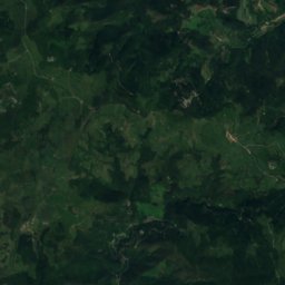
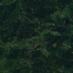
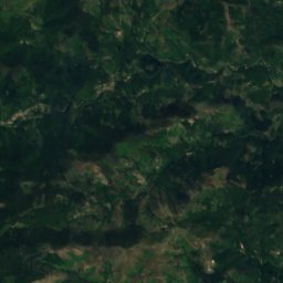
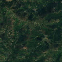
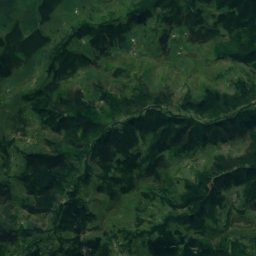
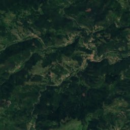
Talaron from above

Nature nearbyAll of France
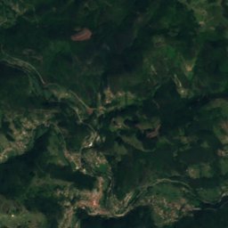
Satellite: Sentinel-2 cloudless 2016 by EOX IT Services GmbH · CC BY 4.0 · Contains modified Copernicus Sentinel data 2016
Lac des CollangesLake6.0 kmNWLac des Collanges
Photo: Jean-Louis Delegue · CC BY-SA 3.0 · Wikimedia CommonsReport this photo · linked, not stored
AuzèneRiver8.5 kmSEAuzène
Photo: Binnette · CC BY-SA 3.0 · Wikimedia CommonsReport this photo · linked, not stored
DorneRiver9.0 kmNWDorne
Photo: Havang(nl) · CC0 · Wikimedia CommonsReport this photo · linked, not stored
EysseRiver14 kmNWEysse
Photo: Kakoula10 · CC BY-SA 4.0 · Wikimedia CommonsReport this photo · linked, not stored
BoyonRiver15 kmSEBoyon
Photo: Havang(nl) · CC0 · Wikimedia CommonsReport this photo · linked, not stored
SaliouseRiver15 kmNWSaliouse
Summits nearbyMountains of France
Photo: PRA · CC BY 2.5 · Wikimedia CommonsReport this photo · linked, not stored
Mont Gerbier de Jonc25 km W1,551 mJuly 21°Mont Gerbier de Jonc
Photo: MOSSOT · CC BY-SA 4.0 · Wikimedia CommonsReport this photo · linked, not stored
Suc de Sara25 km W1,521 mJuly 21°Suc de Sara
Satellite: Sentinel-2 cloudless 2016 by EOX IT Services GmbH · CC BY 4.0 · Contains modified Copernicus Sentinel data 2016
Suc de l'Areilladou20 km SW1,448 mJuly 21°Suc de l'Areilladou
Satellite: Sentinel-2 cloudless 2016 by EOX IT Services GmbH · CC BY 4.0 · Contains modified Copernicus Sentinel data 2016
Suc d'Ourseyre23 km W1,371 mJuly 21°Suc d'Ourseyre
Photo: SchiDD · CC BY-SA 3.0 · Wikimedia CommonsReport this photo · linked, not stored
Suc de Montivernoux20 km SW1,312 mJuly 21°Suc de Montivernoux
Satellite: Sentinel-2 cloudless 2016 by EOX IT Services GmbH · CC BY 4.0 · Contains modified Copernicus Sentinel data 2016
Le Coulet Gras17 km SW1,221 mJuly 23°Le Coulet Gras
Stay nearby

Towns close by

Beauvène
Photo: Havang(nl) · CC0 · Wikimedia CommonsReport this photo · linked, not stored

Beauvène

Auvergne-Rhône-Alpes · 1.9 km W
18°Oct high
10wet days
70score
Beauvène
Saint-Barthélemy-le-Meil
Photo: FredSeiller · CC BY-SA 3.0 · Wikimedia CommonsReport this photo · linked, not stored

Saint-Barthélemy-le-Meil

Auvergne-Rhône-Alpes · 2.9 km W
17°Oct high
10wet days
69score
Saint-Barthélemy-le-Meil
Chalencon
Photo: Havang(nl) · CC0 · Wikimedia CommonsReport this photo · linked, not stored

Chalencon

Auvergne-Rhône-Alpes · 3.2 km E
16°Oct high
10wet days
60score
Chalencon
Gluiras
Photo: Angelwhite · CC BY-SA 3.0 · Wikimedia CommonsReport this photo · linked, not stored

Gluiras

Auvergne-Rhône-Alpes · 3.5 km S
15°Oct high
10wet days
57score
Gluiras
Around here

Beauvène and around

Beauvène
Photo: Havang(nl) · CC0 · Wikimedia CommonsReport this photo · linked, not stored

Beauvène

Auvergne-Rhône-Alpes · France
Apr · Jun · Sepbest months
28°July high
448 maltitude
Beauvène

Nature

Dorne
Photo: Binnette · CC BY-SA 3.0 · Wikimedia CommonsReport this photo · linked, not stored
7.5 km NW

Dorne

River · 427 m
Dorne
Auzène
Photo: Jean-Louis Delegue · CC BY-SA 3.0 · Wikimedia CommonsReport this photo · linked, not stored
9.6 km SE

Auzène

River
Auzène
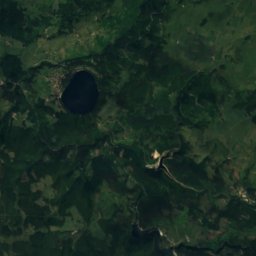
Satellite: Sentinel-2 cloudless 2016 by EOX IT Services GmbH · CC BY 4.0 · Contains modified Copernicus Sentinel data 2016
4.7 km NW

Lac des Collanges

Lake · 408 m
Lac des Collanges

Mountains

Mount Mézenc
Photo: PRA · CC BY 2.5 · Wikimedia CommonsReport this photo · linked, not stored
25 km W

Mount Mézenc

1,753 m · massif du Mézenc
Mount Mézenc
Mont d'Alambre
Photo: MOSSOT · CC BY-SA 4.0 · Wikimedia CommonsReport this photo · linked, not stored
28 km W

Mont d'Alambre

1,691 m · massif du Mézenc
Mont d'Alambre
Suc de Taupernas
Photo: Unknown authorUnknown author · CC0 · Wikimedia CommonsReport this photo · linked, not stored
27 km W

Suc de Taupernas

1,609 m
Suc de Taupernas

Heritage

Église Sainte-Marie du Pouzat
Photo: FredSeiller · CC BY-SA 3.0 · Wikimedia CommonsReport this photo · linked, not stored
10 km NW

Église Sainte-Marie du Pouzat

listed in the general inventory of cultural heritage
Église Sainte-Marie du Pouzat
Château de la Tourette
Photo: Charcutaille · CC BY-SA 3.0 · Wikimedia CommonsReport this photo · linked, not stored
11 km E

Château de la Tourette

monument historique inscrit
Château de la Tourette
Porte de Besse
Photo: ValentinCh07 · CC BY-SA 3.0 · Wikimedia CommonsReport this photo · linked, not stored
5.1 km E

Porte de Besse

monument historique inscrit
Porte de Besse