Skip to content
Destinations
Weather & climate
Nature
Outdoors
Culture
Events
Sky & live
Suippe
Photo: Havang(nl) · CC0 · Wikimedia Commons
SuippeReport this photo · linked, not stored
Vesle
Photo: Szeder László · CC BY-SA 4.0 · Wikimedia Commons
VesleReport this photo · linked, not stored
Vesle
Noblette
Photo: Utilisateur:Djampa - User:Djampa · CC BY-SA 4.0 · Wikimedia Commons
NobletteReport this photo · linked, not stored
Noblette
Py
Photo: Garitan · CC BY-SA 3.0 · Wikimedia Commons
PyReport this photo · linked, not stored
Py
Yèvre, Grand Est
Photo: Garitan · CC BY-SA 3.0 · Wikimedia Commons
Yèvre, Grand EstReport this photo · linked, not stored
Yèvre, Grand Est
RiverSomme-Suippe, Grand Est

Suippe

RiverBest Jun–Jul · Sep
Elevation–above sea level
Length82 kmsource to mouth
Nearest townSomme-Suippe0.2 km
49.11° N, 4.58° EUTC+2 · Central European Summer Time
When to goSomme-Suippe · weather score
JanFebMarAprMayJunJulAugSepOctNovDec49October
Best timeJun–Jul · Sep
October: high / low16° / 7°
River

Suippe in brief

Suippe is a river in Somme-Suippe, Grand Est, France.

The nearest town in the atlas is Somme-Suippe, 0.2 km to the N, where the weather is best in June, July and September.

Suippe is 82 km long.

Somme-Suippe: weather and travel guide

Weather nearby now

Forecast for Somme-Suippe
13°
Rain now
Wind17 km/h
Humidity84%
Cloud cover98%
Today
22 Oct
13°
5°
3 mm
Fri
23 Oct
13°
8°
4 mm
Sat
24 Oct
12°
6°
9 mm
Sun
25 Oct
15°
9°
18 mm
Mon
26 Oct
15°
6°
3 mm

Model run 00:00 UTCRefreshed several times a day

The course of the river

As mapped in OpenStreetMap, with the towns of the atlas along its banks.
sourcemouth (or where the mapped line leaves the country)
When to go

The best months around Suippe

Climate of Somme-Suippe

Month score in Somme-Suippe

Comfort, dry days and sunshine · out of 100
15
Jan
20
Feb
32
Mar
59
Apr
63
May
66
Jun
66
Jul
65
Aug
74
Sep
49
Oct
15
Nov
14
Dec
Map

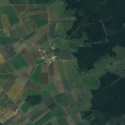
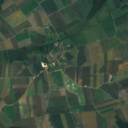
Suippe from above

Nature nearbyAll of France
Photo: Szeder László · CC BY-SA 4.0 · Wikimedia CommonsReport this photo · linked, not stored
VesleRiver15 kmSVesle
Photo: Utilisateur:Djampa - User:Djampa · CC BY-SA 4.0 · Wikimedia CommonsReport this photo · linked, not stored
NobletteRiver15 kmWNoblette
Photo: Garitan · CC BY-SA 3.0 · Wikimedia CommonsReport this photo · linked, not stored
PyRiver15 kmNPy
Photo: Garitan · CC BY-SA 3.0 · Wikimedia CommonsReport this photo · linked, not stored
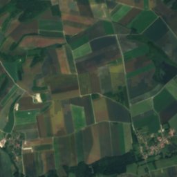
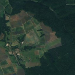
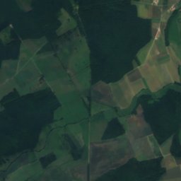
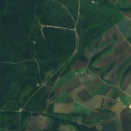
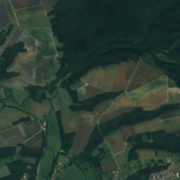
Yèvre, Grand EstRiver17 kmEYèvre, Grand Est
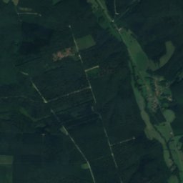
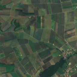
Satellite: Sentinel-2 cloudless 2016 by EOX IT Services GmbH · CC BY 4.0 · Contains modified Copernicus Sentinel data 2016
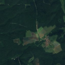
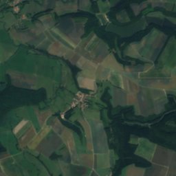
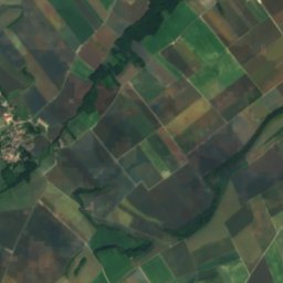
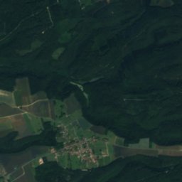
Bionne, Grand EstRiver21 kmEBionne, Grand Est
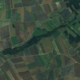
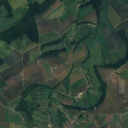
Satellite: Sentinel-2 cloudless 2016 by EOX IT Services GmbH · CC BY 4.0 · Contains modified Copernicus Sentinel data 2016
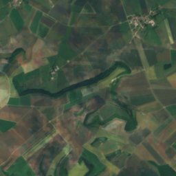
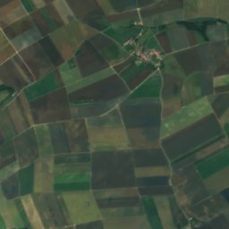
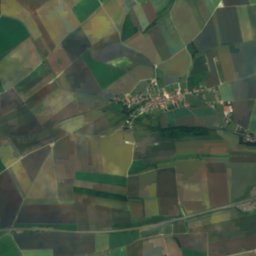
TourbeRiver21 kmNETourbe
Stay nearby

Towns close by

Somme-Suippe
Photo: G.Garitan · CC BY-SA 4.0 · Wikimedia CommonsReport this photo · linked, not stored
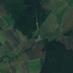
Somme-Suippe

Grand Est · 0.2 km N
16°Oct high
13wet days
49score
Somme-Suippe
Suippes
Photo: Garitan · CC BY-SA 3.0 · Wikimedia CommonsReport this photo · linked, not stored
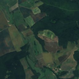
Suippes

Grand Est · 3.8 km NW
16°Oct high
13wet days
49score
Suippes
Bussy-le-Château
Photo: Bussylechateau · CC BY-SA 3.0 · Wikimedia CommonsReport this photo · linked, not stored
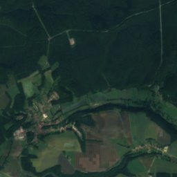
Bussy-le-Château

Grand Est · 6.3 km SW
16°Oct high
13wet days
50score
Bussy-le-Château
Somme-Tourbe
Photo: Bjoertvedt · CC BY-SA 4.0 · Wikimedia CommonsReport this photo · linked, not stored
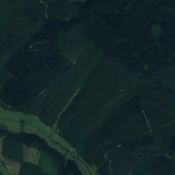
Somme-Tourbe

Grand Est · 6.5 km E
16°Oct high
13wet days
48score
Somme-Tourbe
Around here

Somme-Suippe and around

Somme-Suippe
Photo: G.Garitan · CC BY-SA 4.0 · Wikimedia CommonsReport this photo · linked, not stored
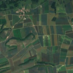
Somme-Suippe

Grand Est · France
Jun–Jul · Sepbest months
25°July high
142 maltitude
Somme-Suippe

Nature

Vesle
Photo: Szeder László · CC BY-SA 4.0 · Wikimedia CommonsReport this photo · linked, not stored
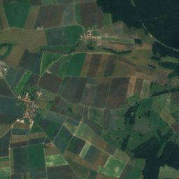
15 km S

Vesle

River
Vesle
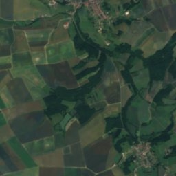
Yèvre, Grand Est
Photo: Garitan · CC BY-SA 3.0 · Wikimedia CommonsReport this photo · linked, not stored
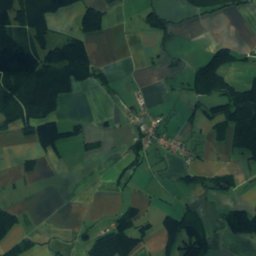
18 km E

Yèvre, Grand Est

River
Yèvre, Grand Est
Satellite: Sentinel-2 cloudless 2016 by EOX IT Services GmbH · CC BY 4.0 · Contains modified Copernicus Sentinel data 2016
23 km E

Auve

River · 137 m
Auve

Mountains

Mont Cornillet
Photo: ERNOUF Guillaume · CC BY-SA 3.0 · Wikimedia CommonsReport this photo · linked, not stored
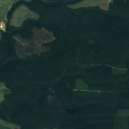
25 km NW

Mont Cornillet

207 m
Mont Cornillet

Heritage

Navarin Ossuary: Monument to the Dead of the Champagne Armies
Photo: François GOGLINS · CC BY-SA 4.0 · Wikimedia CommonsReport this photo · linked, not stored
12 km N

Navarin Ossuary: Monument to the Dead of the Champagne Armies

monument historique inscrit · 1924
Navarin Ossuary: Monument to the Dead of the Champagne Armies
28th Brigade - La Ferme des Wacques National Cemetery
Photo: Corneliux · CC BY-SA 4.0 · Wikimedia CommonsReport this photo · linked, not stored
9.0 km NW

28th Brigade - La Ferme des Wacques National Cemetery

monument historique inscrit · 1915
28th Brigade - La Ferme des Wacques National Cemetery
Russian Military Cemetery of Saint-Hilaire-le-Grand
Photo: Gérald Garitan · CC BY-SA 3.0 · Wikimedia CommonsReport this photo · linked, not stored
14 km W

Russian Military Cemetery of Saint-Hilaire-le-Grand

World Heritage Site
Russian Military Cemetery of Saint-Hilaire-le-Grand

Museums

World War I museum Suippes
Photo: G.Garitan · CC BY-SA 3.0 · Wikimedia CommonsReport this photo · linked, not stored
4.0 km NW

World War I museum Suippes

World War I museum Suippes