Skip to content
Destinations
Weather & climate
Nature
Outdoors
Culture
Events
Sky & live
Source du Lez
Photo: Vpe · CC BY-SA 3.0 · Wikimedia Commons
Source du LezReport this photo · linked, not stored
Lirou, Prades-le-Lez
Photo: Frere cc · CC BY-SA 3.0 · Wikimedia Commons
Lirou, Prades-le-LezReport this photo · linked, not stored
Lirou, Prades-le-Lez
Source du Lirou
Photo: JYB Devot · CC BY-SA 4.0 · Wikimedia Commons
Source du LirouReport this photo · linked, not stored
Source du Lirou
Grotte du Suquet
Photo: JYB Devot · CC BY-SA 4.0 · Wikimedia Commons
Grotte du SuquetReport this photo · linked, not stored
Grotte du Suquet
Grotte de l'Hortus
Photo: JYB Devot · CC BY-SA 4.0 · Wikimedia Commons
Grotte de l'HortusReport this photo · linked, not stored
Grotte de l'Hortus
CaveLe Triadou, Occitanie

Source du Lez

CaveBest Apr–May · Sep
Elevation–above sea level
Inside15°Call year
Nearest townLe Triadou2.5 km
43.72° N, 3.84° EUTC+2 · Central European Summer Time
When to goLe Triadou · weather score
JanFebMarAprMayJunJulAugSepOctNovDec70October
Best timeApr–May · Sep
October: high / low21° / 10°
Cave

Source du Lez in brief

Source du Lez is a cave in Le Triadou, Occitanie, France.

The nearest town in the atlas is Le Triadou, 2.5 km to the N, where the weather is best in April, May and September.

Inside, a cave stays close to the average yearly air temperature outside: about 15°C all year.

Le Triadou: weather and travel guide

Weather nearby now

Forecast for Le Triadou
16°
Cloudy now
Wind15 km/h
Humidity70%
Cloud cover75%
Today
22 Oct
18°
10°
Fri
23 Oct
19°
10°
Sat
24 Oct
18°
10°
Sun
25 Oct
19°
10°
Mon
26 Oct
24°
13°

Model run 00:00 UTCRefreshed several times a day

When to go

The best months around Source du Lez

Climate of Le Triadou

Month score in Le Triadou

Comfort, dry days and sunshine · out of 100
45
Jan
57
Feb
74
Mar
76
Apr
77
May
69
Jun
60
Jul
60
Aug
79
Sep
70
Oct
57
Nov
45
Dec
Map

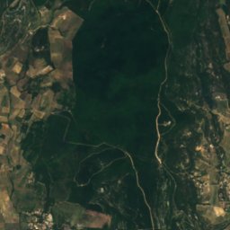
Source du Lez from above

Nature nearbyAll of France
Photo: Frere cc · CC BY-SA 3.0 · Wikimedia CommonsReport this photo · linked, not stored
Lirou, Prades-le-LezRiver2.1 kmSELirou, Prades-le-Lez
Photo: JYB Devot · CC BY-SA 4.0 · Wikimedia CommonsReport this photo · linked, not stored
Source du LirouCave3.5 kmNWSource du Lirou
Photo: JYB Devot · CC BY-SA 4.0 · Wikimedia CommonsReport this photo · linked, not stored
Grotte du SuquetCave4.8 kmNWGrotte du Suquet
Photo: JYB Devot · CC BY-SA 4.0 · Wikimedia CommonsReport this photo · linked, not stored
Grotte de l'HortusCave8.5 kmNGrotte de l'Hortus
Photo: Havang(nl) · CC0 · Wikimedia CommonsReport this photo · linked, not stored
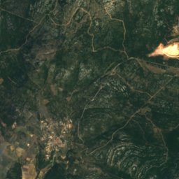
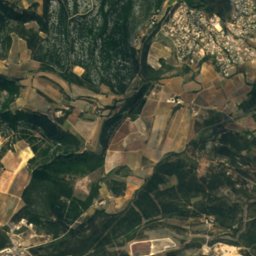
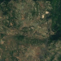
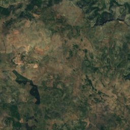
LamalouRiver12 kmNLamalou
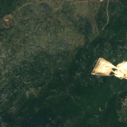
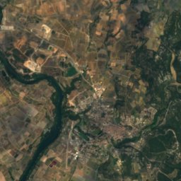
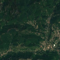
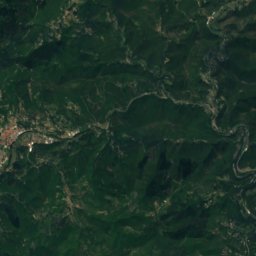
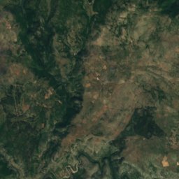
Satellite: Sentinel-2 cloudless 2016 by EOX IT Services GmbH · CC BY 4.0 · Contains modified Copernicus Sentinel data 2016
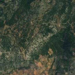
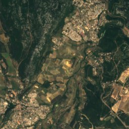
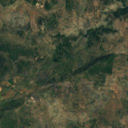
CorbièresRiver14 kmWCorbières
Summits nearbyMountains of France
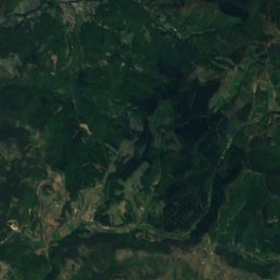
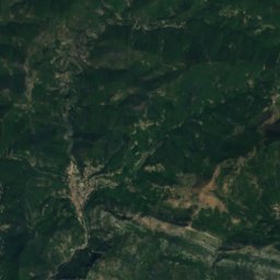
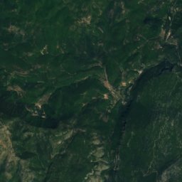
Satellite: Sentinel-2 cloudless 2016 by EOX IT Services GmbH · CC BY 4.0 · Contains modified Copernicus Sentinel data 2016
Roc Blanc - la Seranne24 km NW931 mJuly 27°Roc Blanc - la Seranne
Photo: K.P. Timmerman at nl.wikipedia · CC BY-SA 3.0 · Wikimedia CommonsReport this photo · linked, not stored
Pic Saint-Loup7.2 km N658 mJuly 30°Pic Saint-Loup
Photo: Lothur · CC0 · Wikimedia CommonsReport this photo · linked, not stored
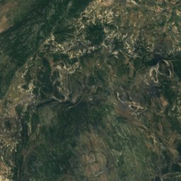
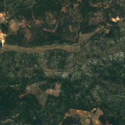
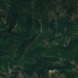
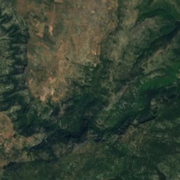
Roc de la Vigne23 km W561 mJuly 28°Roc de la Vigne
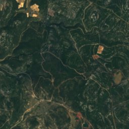
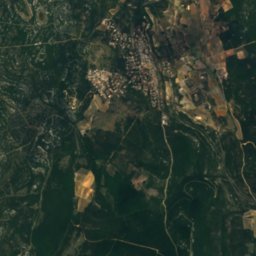
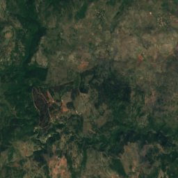
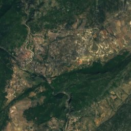
Satellite: Sentinel-2 cloudless 2016 by EOX IT Services GmbH · CC BY 4.0 · Contains modified Copernicus Sentinel data 2016
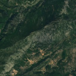
Hortus8.5 km N512 mJuly 30°Hortus
Stay nearby

Towns close by

Le Triadou
Photo: Archives départementales de l'Hérault (France) DAASI · CC BY-SA 4.0 · Wikimedia CommonsReport this photo · linked, not stored
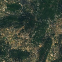
Le Triadou

Occitanie · 2.5 km N
21°Oct high
12wet days
70score
Le Triadou
Prades-le-Lez
Photo: Fagairolles 34 · CC BY-SA 4.0 · Wikimedia CommonsReport this photo · linked, not stored
Prades-le-Lez

Occitanie · 2.7 km SE
21°Oct high
12wet days
70score
Prades-le-Lez
Les Matelles
Photo: Daniel VILLAFRUELA · CC BY-SA 3.0 · Wikimedia CommonsReport this photo · linked, not stored
Les Matelles

Occitanie · 3.1 km NW
21°Oct high
12wet days
70score
Les Matelles
Saint-Jean-de-Cuculles
Photo: Sapin88 · CC BY-SA 4.0 · Wikimedia CommonsReport this photo · linked, not stored
Saint-Jean-de-Cuculles

Occitanie · 3.6 km N
20°Oct high
12wet days
70score
Saint-Jean-de-Cuculles
Around here

Le Triadou and around

Le Triadou
Photo: Archives départementales de l'Hérault (France) DAASI · CC BY-SA 4.0 · Wikimedia CommonsReport this photo · linked, not stored
Le Triadou

Occitanie · France
Apr–May · Sepbest months
31°July high
88 maltitude
Le Triadou

Nature

Lirou, Prades-le-Lez
Photo: Frere cc · CC BY-SA 3.0 · Wikimedia CommonsReport this photo · linked, not stored
4.3 km S

Lirou, Prades-le-Lez

River
Lirou, Prades-le-Lez
Lamalou
Photo: Havang(nl) · CC0 · Wikimedia CommonsReport this photo · linked, not stored
10 km NW

Lamalou

River
Lamalou
Source du Lirou
Photo: JYB Devot · CC BY-SA 4.0 · Wikimedia CommonsReport this photo · linked, not stored
3.8 km W

Source du Lirou

Cave
Source du Lirou

Mountains

Satellite: Sentinel-2 cloudless 2016 by EOX IT Services GmbH · CC BY 4.0 · Contains modified Copernicus Sentinel data 2016
22 km NW

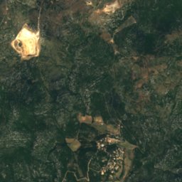
Roc Blanc - la Seranne

931 m
Roc Blanc - la Seranne
Montagne de la Fage
Photo: Anthony Morel · CC BY-SA 4.0 · Wikimedia CommonsReport this photo · linked, not stored
29 km N

Montagne de la Fage

931 m · Cévennes
Montagne de la Fage
Pic d'Anjeau
Photo: Sapin88 · CC BY-SA 4.0 · Wikimedia CommonsReport this photo · linked, not stored
27 km NW

Pic d'Anjeau

864 m · Massif Central
Pic d'Anjeau

Heritage

Église de la Nativité-de-Saint-Jean-Baptiste de Saint-Jean-de-Cuculles
Photo: Albertvillanovadelmoral · CC BY-SA 3.0 · Wikimedia CommonsReport this photo · linked, not stored
2.0 km NW

Église de la Nativité-de-Saint-Jean-Baptiste de Saint-Jean-de-Cuculles

monument historique inscrit
Église de la Nativité-de-Saint-Jean-Baptiste de Saint-Jean-de-Cuculles
Montpellier Cathedral
Photo: Unknown author · CC BY 2.5 · Wikimedia CommonsReport this photo · linked, not stored
14 km S

Montpellier Cathedral

classified historical monument · 1364
Montpellier Cathedral
Popular Pavilion
Photo: Dinkley = Jean-Marie DAVID · CC BY-SA 3.0 · Wikimedia CommonsReport this photo · linked, not stored
15 km S

Popular Pavilion

listed in the general inventory of cultural heritage · 1890
Popular Pavilion

Museums

Musée d’arts et d’archéologie
Photo: JYB Devot · CC BY-SA 4.0 · Wikimedia CommonsReport this photo · linked, not stored
3.5 km W

Musée d’arts et d’archéologie

Musée d’arts et d’archéologie
Musée Fabre
Photo: Björn S. · CC BY-SA 3.0 · Wikimedia CommonsReport this photo · linked, not stored
14 km S

Musée Fabre

Art museum · 1825
Musée Fabre
Cabrières-Sabatier d'Espeyran hotel
Photo: Finoskov · CC BY-SA 4.0 · Wikimedia CommonsReport this photo · linked, not stored
14 km S

Cabrières-Sabatier d'Espeyran hotel

1874
Cabrières-Sabatier d'Espeyran hotel