
Photo: Jean Michel Etchecolonea · CC BY-SA 3.0 · Wikimedia Commons
SaisonReport this photo · linked, not stored
SaisonReport this photo · linked, not stored

Photo: Harrieta171 · CC BY-SA 3.0 · Wikimedia Commons
Joyeuse (river)Report this photo · linked, not stored
Joyeuse (river)Joyeuse (river)Report this photo · linked, not stored

Photo: gael at https://www.flickr.com. · CC BY-SA 2.0 · Wikimedia Commons
SaleysReport this photo · linked, not stored
SaleysSaleysReport this photo · linked, not stored
 Lihoury

Photo: Unknown author · Public domain · Wikimedia Commons
AbarrateaReport this photo · linked, not stored
AbarrateaAbarrateaReport this photo · linked, not stored
RiverAthos-Aspis, New Aquitaine
Saison
RiverBest Jun · Sep–Oct
Elevation–above sea level
Length54 kmsource to mouth
Nearest townAthos-Aspis1.3 km
43.40° N, 0.97° WUTC+2 · Central European Summer Time
When to goAthos-Aspis · weather score
Best timeJun · Sep–Oct
October: high / low21° / 10°
River
Saison in brief
Saison is a river in Athos-Aspis, New Aquitaine, France — river in the French Basque Country.
The nearest town in the atlas is Athos-Aspis, 1.3 km to the N, where the weather is best in June, September and October.
Saison is 54 km long.
Weather nearby now
Forecast for Athos-Aspis18°
Cloudy now
Today
22 Oct
20°
7°
Fri
23 Oct
19°
10°
15 mm
Sat
24 Oct
19°
10°
5 mm
Sun
25 Oct
21°
10°
4 mm
Mon
26 Oct
24°
11°
2 mm
Model run 00:00 UTCRefreshed several times a day
The course of the river
As mapped in OpenStreetMap, with the towns of the atlas along its banks.- 1Tardets-Sorholus225 m
- 2Alos-Sibas-Abense216 m
- 3Sauguis-Saint-Étienne197 m
- 4Menditte180 m
- 5Idaux-Mendy169 m
- 6Ordiarp177 m
- 7Garindein156 m
- 8Viodos-Abense-de-Bas135 m
- 9Rivehaute95 m
- 10Saint-Gladie-Arrive-Munein78 m
- 11Osserain-Rivareyte66 m
- 12Sauveterre-de-Béarn89 m
- 13Athos-Aspis68 m
- 14Abitain55 m
sourcemouth (or where the mapped line leaves the country)
When to go
Climate of Athos-AspisThe best months around Saison
Month score in Athos-Aspis
Comfort, dry days and sunshine · out of 10030
Jan
44
Feb
58
Mar
62
Apr
62
May
69
Jun
68
Jul
64
Aug
75
Sep
70
Oct
49
Nov
37
Dec
Map
Saison from above
Nature nearbyAll of France

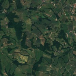
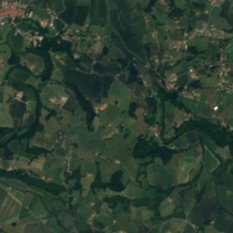
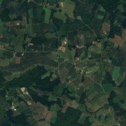
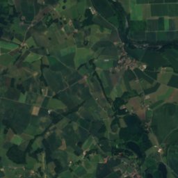
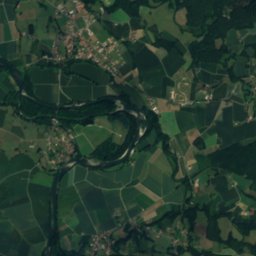
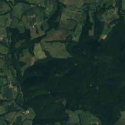
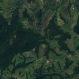
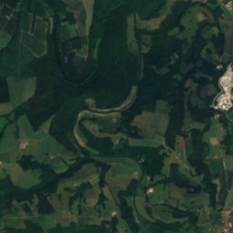
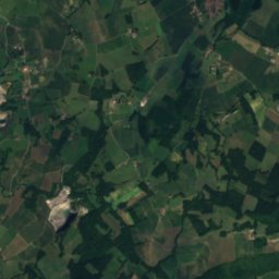
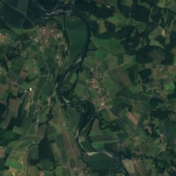
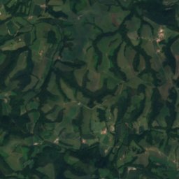
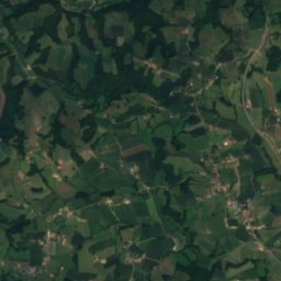
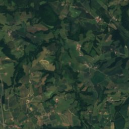
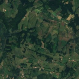
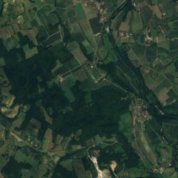
Satellite: Sentinel-2 cloudless 2016 by EOX IT Services GmbH · CC BY 4.0 · Contains modified Copernicus Sentinel data 2016
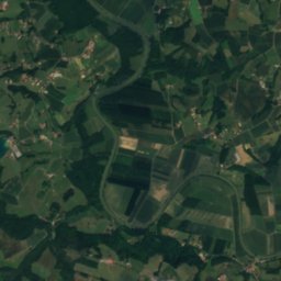
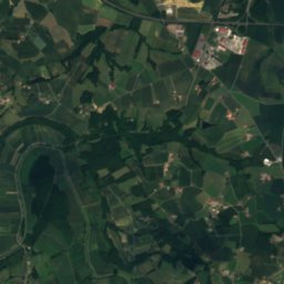
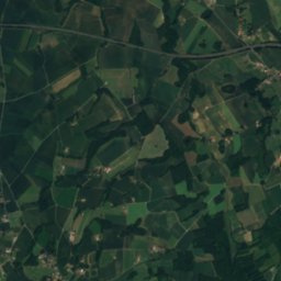
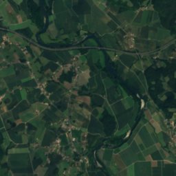
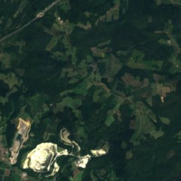
Satellite: Sentinel-2 cloudless 2016 by EOX IT Services GmbH · CC BY 4.0 · Contains modified Copernicus Sentinel data 2016

Photo: gael at https://www.flickr.com. · CC BY-SA 2.0 · Wikimedia CommonsReport this photo · linked, not stored
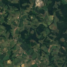
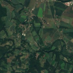
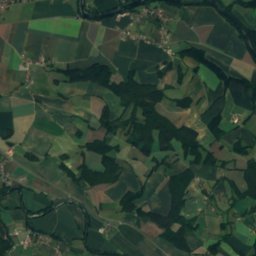
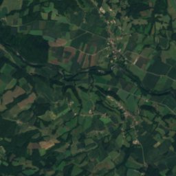
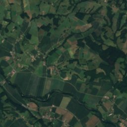
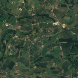
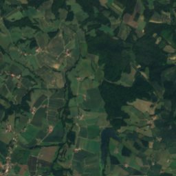
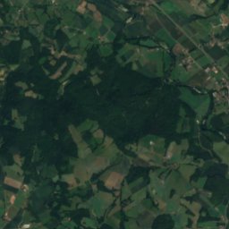
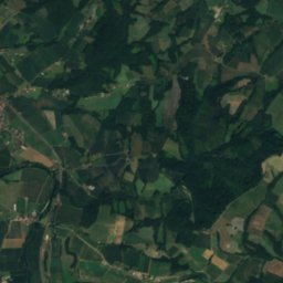
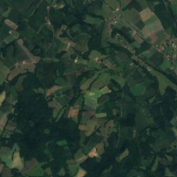
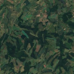
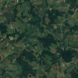
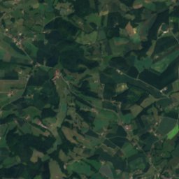
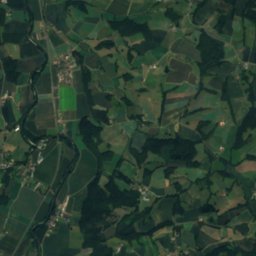
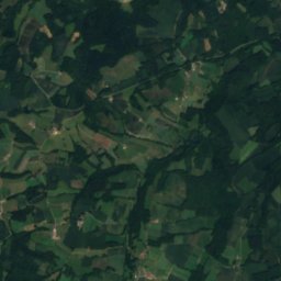
Satellite: Sentinel-2 cloudless 2016 by EOX IT Services GmbH · CC BY 4.0 · Contains modified Copernicus Sentinel data 2016

Summits nearbyMountains of France
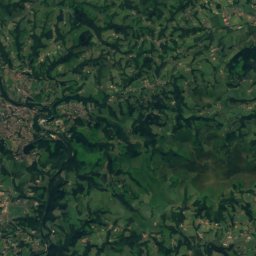
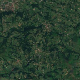
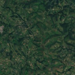
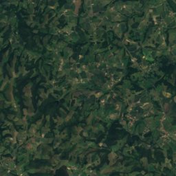
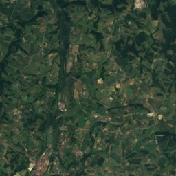
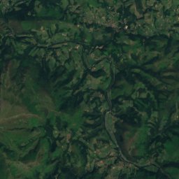
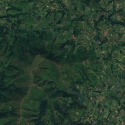
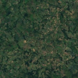
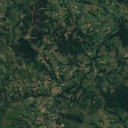
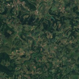
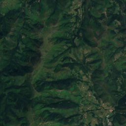
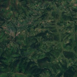
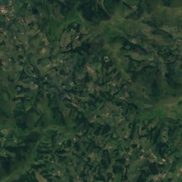
Satellite: Sentinel-2 cloudless 2016 by EOX IT Services GmbH · CC BY 4.0 · Contains modified Copernicus Sentinel data 2016
Satellite: Sentinel-2 cloudless 2016 by EOX IT Services GmbH · CC BY 4.0 · Contains modified Copernicus Sentinel data 2016

Stay nearby
Towns close by


Around here
Athos-Aspis and around
Nature
Photo: gael at https://www.flickr.com. · CC BY-SA 2.0 · Wikimedia CommonsReport this photo · linked, not stored
Saleys
River
Mountains
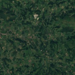
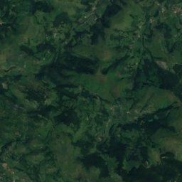
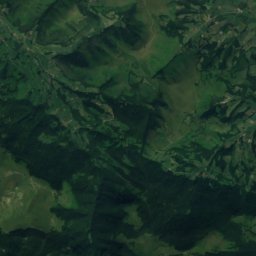
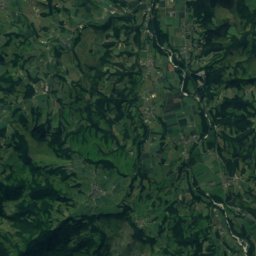
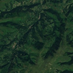
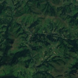
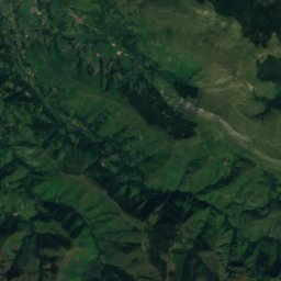
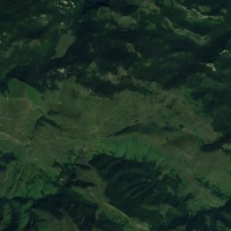
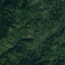
Satellite: Sentinel-2 cloudless 2016 by EOX IT Services GmbH · CC BY 4.0 · Contains modified Copernicus Sentinel data 2016
Beltxu
1,129 m · Arbaila massif


Photo: Jacques Bon http://cafcom.free.fr · CC BY-SA 3.0 · Wikimedia CommonsReport this photo · linked, not stored
Aphanize
1,044 m · Arbaila massif
Heritage

Photo: Jibi44derivative work: Sir James (talk) Sorde_1.JPG: Jibi44 · CC BY-SA 2.5 · Wikimedia CommonsReport this photo · linked, not stored
abbaye Saint-Jean de Sorde
classified historical monument

Église Saint-André de Sauveterre-de-Béarn
classified historical monument

Museums

Photo: Béarn des gaves tourist office (Office de tourisme du béarn des gaves) · CC BY-SA 4.0 · Wikimedia CommonsReport this photo · linked, not stored
Laàs Castle
Satellite: Sentinel-2 cloudless 2016 by EOX IT Services GmbH · CC BY 4.0 · Contains modified Copernicus Sentinel data 2016
Salines de Salies-de-Béarn
2013


Satellite: Sentinel-2 cloudless 2016 by EOX IT Services GmbH · CC BY 4.0 · Contains modified Copernicus Sentinel data 2016