Skip to content
Destinations
Weather & climate
Nature
Outdoors
Culture
Events
Sky & live
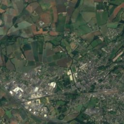
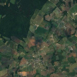
Satellite: Sentinel-2 cloudless 2016 by EOX IT Services GmbH · CC BY 4.0 · Contains modified Copernicus Sentinel data 2016
Guébriand
Photo: Thor19 · CC BY-SA 4.0 · Wikimedia Commons
GuébriandReport this photo · linked, not stored
Guébriand
Arguenon
Photo: Rundvald · CC BY-SA 4.0 · Wikimedia Commons
ArguenonReport this photo · linked, not stored
Arguenon
Mont Bel-Air
Photo: Armelle Refuveille · CC BY-SA 4.0 · Wikimedia Commons
Mont Bel-AirReport this photo · linked, not stored
Mont Bel-Air
RiverJugon-les-Lacs, Brittany

Rosette

RiverBest Jun · Aug–Sep
Elevation–above sea level
Length31 kmsource to mouth
Nearest townJugon-les-Lacs1.0 km
48.41° N, 2.32° WUTC+1 · Central European Standard Time
When to goJugon-les-Lacs · weather score
JanFebMarAprMayJunJulAugSepOctNovDec55October
Best timeJun · Aug–Sep
October: high / low17° / 9°
River

Rosette in brief

Rosette is a river in Jugon-les-Lacs, Brittany, France.

The nearest town is Jugon-les-Lacs, 1.0 km to the NW, where the weather is best in June, August and September.

Rosette is 31 km long.

Jugon-les-Lacs: weather and travel guide

Weather nearby now

Forecast for Jugon-les-Lacs
13°
Sunny now
Wind9 km/h
Humidity75%
Cloud cover0%
Today
31 Oct
14°
4°
Sun
1 Nov
15°
3°
Mon
2 Nov
13°
7°
1 mm
Tue
3 Nov
13°
6°
Wed
4 Nov
10°
4°

Model run 00:00 UTCRefreshed several times a day

The course of the river

As mapped in OpenStreetMap, with the towns along its banks.
1234
  1. 1Broons95 m
  2. 2Trédias71 m
  3. 3Mégrit94 m
  4. 4Jugon-les-Lacs63 m
sourcemouth (or where the mapped line leaves the country)
When to go

The best months around Rosette

Climate of Jugon-les-Lacs

Month score in Jugon-les-Lacs

Comfort, dry days and sunshine · out of 100
17
Jan
23
Feb
36
Mar
58
Apr
68
May
74
Jun
72
Jul
73
Aug
77
Sep
55
Oct
31
Nov
18
Dec
Map

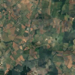
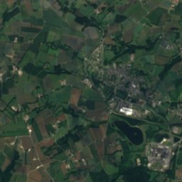
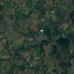
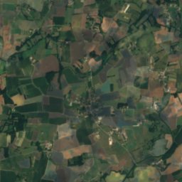
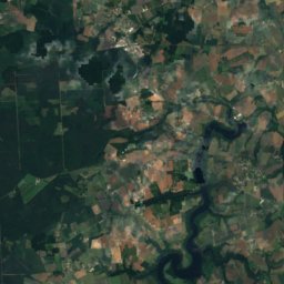
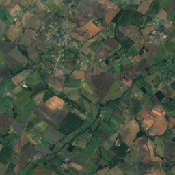
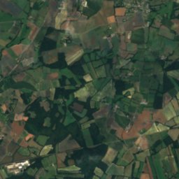
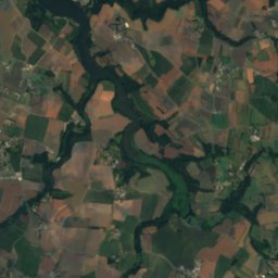
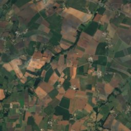
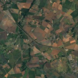
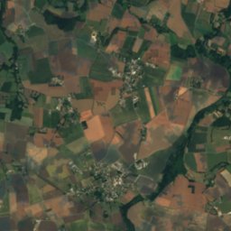
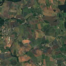
Rosette from above

Nature nearbyAll of France
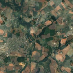
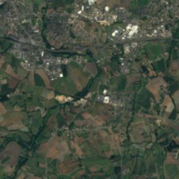
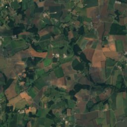
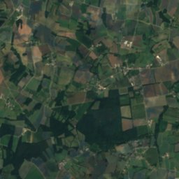
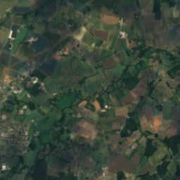
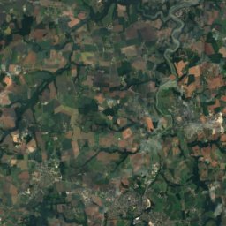
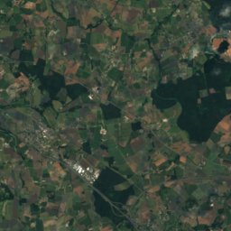
Satellite: Sentinel-2 cloudless 2016 by EOX IT Services GmbH · CC BY 4.0 · Contains modified Copernicus Sentinel data 2016
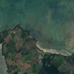
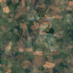
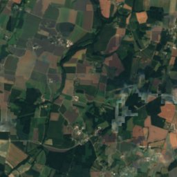
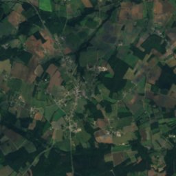
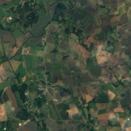
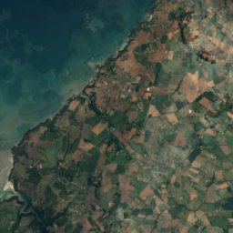
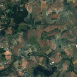
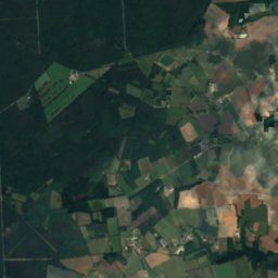
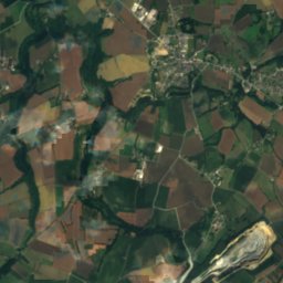
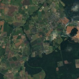
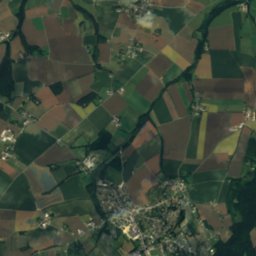
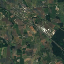
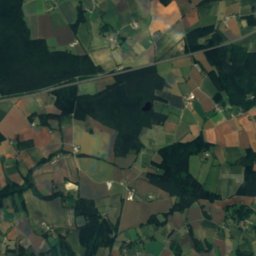
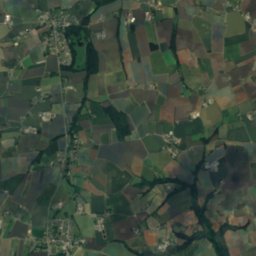
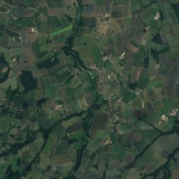
Frémur OuestRiver13 kmNWFrémur Ouest
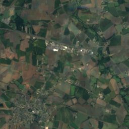
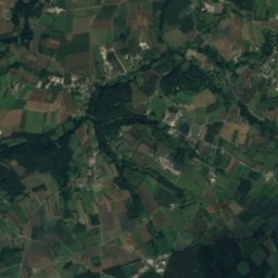
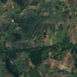
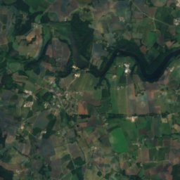
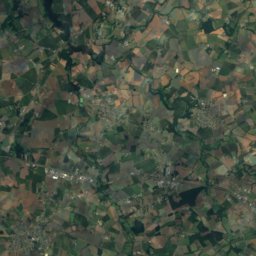
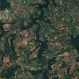
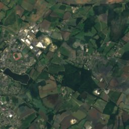
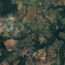
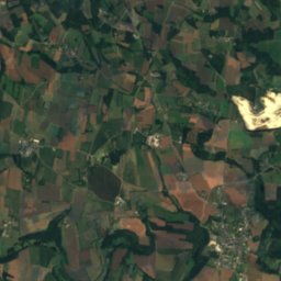
Satellite: Sentinel-2 cloudless 2016 by EOX IT Services GmbH · CC BY 4.0 · Contains modified Copernicus Sentinel data 2016
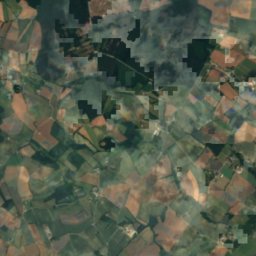
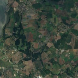
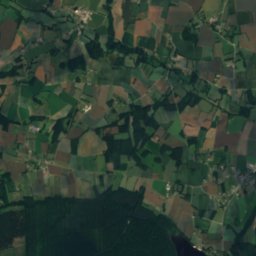
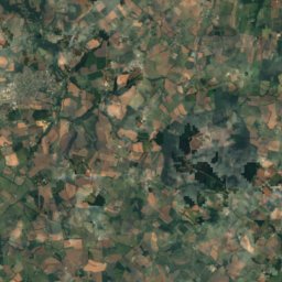
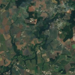
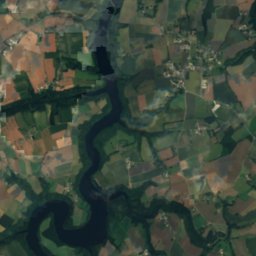
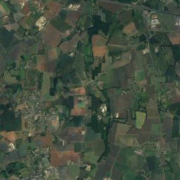
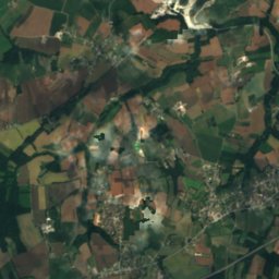
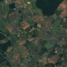
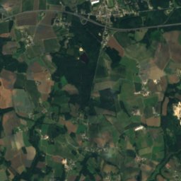
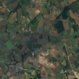
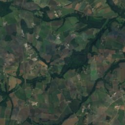
ChifrouetRiver17 kmNWChifrouet
Photo: Thor19 · CC BY-SA 4.0 · Wikimedia CommonsReport this photo · linked, not stored
GuébriandRiver19 kmNEGuébriand
Photo: Rundvald · CC BY-SA 4.0 · Wikimedia CommonsReport this photo · linked, not stored
ArguenonRiver21 kmNEArguenon
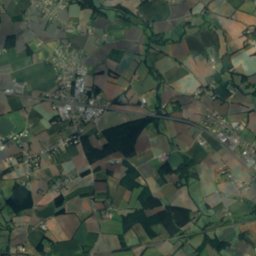
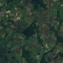
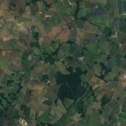
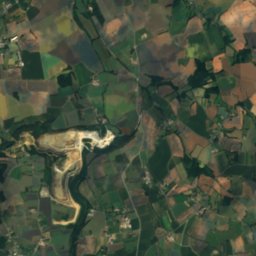
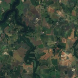
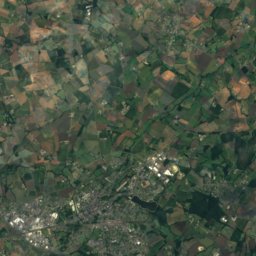
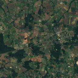
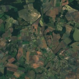
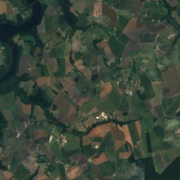
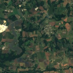
Satellite: Sentinel-2 cloudless 2016 by EOX IT Services GmbH · CC BY 4.0 · Contains modified Copernicus Sentinel data 2016
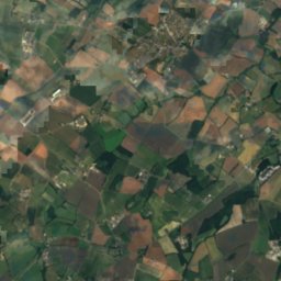
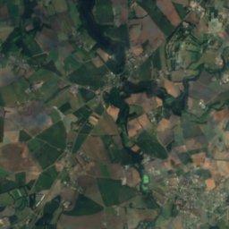
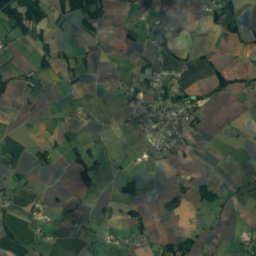
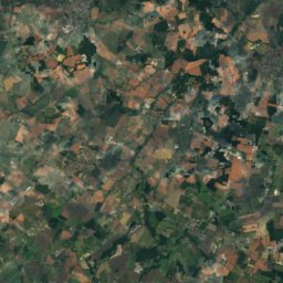
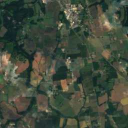
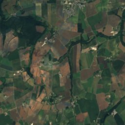
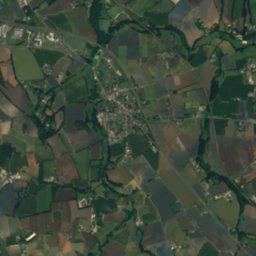
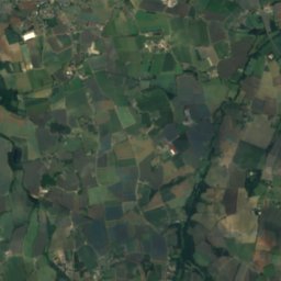
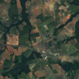
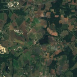
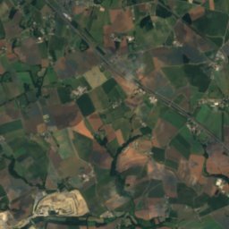
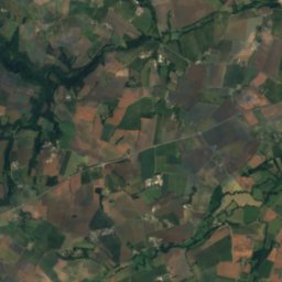
MeuRiver22 kmSWMeu
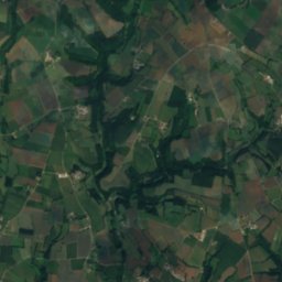
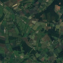
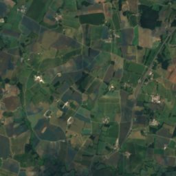
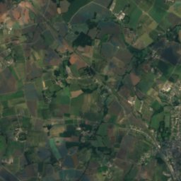
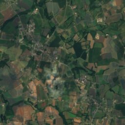
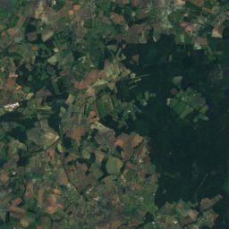
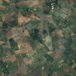
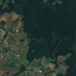
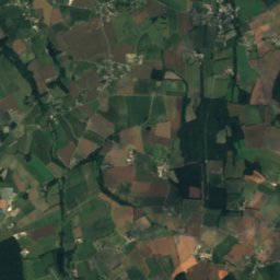
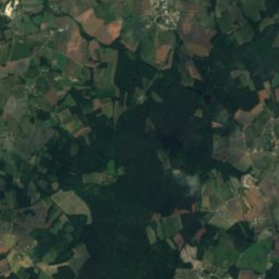
Satellite: Sentinel-2 cloudless 2016 by EOX IT Services GmbH · CC BY 4.0 · Contains modified Copernicus Sentinel data 2016
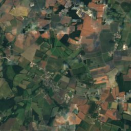
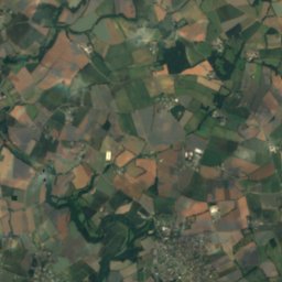
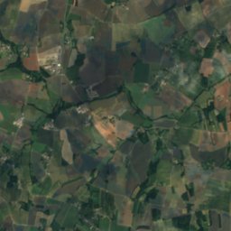
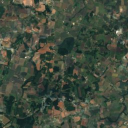
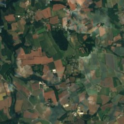
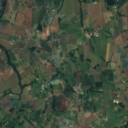
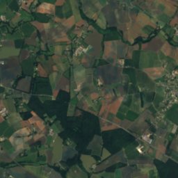
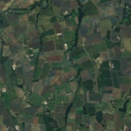
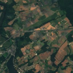
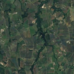
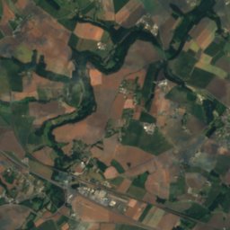
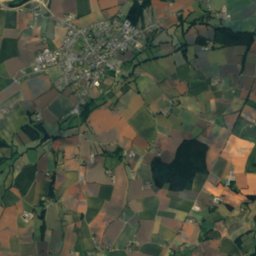
NéalRiver23 kmSENéal
Summits nearbyMountains of France
Photo: Armelle Refuveille · CC BY-SA 4.0 · Wikimedia CommonsReport this photo · linked, not stored
Mont Bel-Air22 km SW339 mJuly 22°Mont Bel-Air
Stay nearby

Towns close by

Jugon-les-Lacs
Photo: Pymouss · CC BY-SA 3.0 · Wikimedia CommonsReport this photo · linked, not stored

Jugon-les-Lacs

Brittany · 1.0 km NW
17°Oct high
15wet days
55score
Jugon-les-Lacs
Tramain
Photo: Thérèse Gaigé · CC BY-SA 4.0 · Wikimedia CommonsReport this photo · linked, not stored

Tramain

Brittany · 6.0 km W
17°Oct high
15wet days
54score
Tramain
Satellite: Sentinel-2 cloudless 2016 by EOX IT Services GmbH · CC BY 4.0 · Contains modified Copernicus Sentinel data 2016

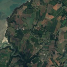
Plédéliac

Brittany · 6.5 km NW
17°Oct high
15wet days
54score
Plédéliac
Mégrit
Photo: GO69 · CC BY-SA 4.0 · Wikimedia CommonsReport this photo · linked, not stored

Mégrit

Brittany · 6.8 km SE
17°Oct high
15wet days
54score
Mégrit
Around here

Jugon-les-Lacs and around

Jugon-les-Lacs
Photo: Pymouss · CC BY-SA 3.0 · Wikimedia CommonsReport this photo · linked, not stored

Jugon-les-Lacs

Brittany · France
Jun · Aug–Sepbest months
24°July high
63 maltitude
Jugon-les-Lacs

Nature

Satellite: Sentinel-2 cloudless 2016 by EOX IT Services GmbH · CC BY 4.0 · Contains modified Copernicus Sentinel data 2016
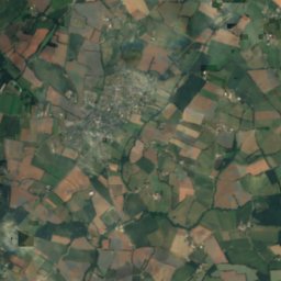
12 km NW

Frémur Ouest

River · 54 m
Frémur Ouest
Arguenon
Photo: Rundvald · CC BY-SA 4.0 · Wikimedia CommonsReport this photo · linked, not stored
21 km NE

Arguenon

River · 10 m
Arguenon
Ninian
Photo: Votre pseudonyme ici · CC BY-SA 3.0 · Wikimedia CommonsReport this photo · linked, not stored
23 km SW

Ninian

River
Ninian

Mountains

Mont Bel-Air
Photo: Armelle Refuveille · CC BY-SA 4.0 · Wikimedia CommonsReport this photo · linked, not stored
21 km SW

Mont Bel-Air

339 m
Mont Bel-Air

Heritage

Jugon-les-Lacs
Photo: Clemensfranz · CC BY-SA 3.0 · Wikimedia CommonsReport this photo · linked, not stored
1.2 km SE

Jugon-les-Lacs

listed in the general inventory of cultural heritage · 1973
Jugon-les-Lacs
Abbaye de Boquen (Plénée-Jugon, France)
Photo: Laurent Jerry · CC BY-SA 3.0 · Wikimedia CommonsReport this photo · linked, not stored
14 km SW

Abbaye de Boquen (Plénée-Jugon, France)

classified historical monument · 1137
Abbaye de Boquen (Plénée-Jugon, France)
Collégiale Notre-Dame de Lamballe
Photo: Thesupermat · CC BY-SA 3.0 · Wikimedia CommonsReport this photo · linked, not stored
15 km NW

Collégiale Notre-Dame de Lamballe

classified historical monument
Collégiale Notre-Dame de Lamballe

Museums

Musée Mathurin-Méheut
Photo: Mel22 · CC BY-SA 4.0 · Wikimedia CommonsReport this photo · linked, not stored
15 km NW

Musée Mathurin-Méheut

Art museum
Musée Mathurin-Méheut