Skip to content
Destinations
Weather & climate
Nature
Outdoors
Culture
Events
Sky & live
Rongeant
Photo: Ji-Elle · CC BY-SA 3.0 · Wikimedia Commons
RongeantReport this photo · linked, not stored
Rognon
Photo: Angeroux · Public domain · Wikimedia Commons
RognonReport this photo · linked, not stored
Rognon
Voire
Photo: Havang(nl) · CC0 · Wikimedia Commons
VoireReport this photo · linked, not stored
Voire
RiverNomécourt, Grand Est

Rongeant

RiverBest Jun–Jul · Sep
Elevation–above sea level
Length19 kmsource to mouth
Nearest townNomécourt1.9 km
48.45° N, 5.09° EUTC+1 · Central European Standard Time
When to goNomécourt · weather score
JanFebMarAprMayJunJulAugSepOctNovDec49October
Best timeJun–Jul · Sep
October: high / low15° / 7°
River

Rongeant in brief

Rongeant is a river in Nomécourt, Grand Est, France.

The nearest town is Nomécourt, 1.9 km to the SW, where the weather is best in June, July and September.

Rongeant is 19 km long.

Nomécourt: weather and travel guide

Weather nearby now

Forecast for Nomécourt
12°
Cloudy now
Wind12 km/h
Humidity89%
Cloud cover98%
Today
27 Oct
19°
11°
1 mm
Wed
28 Oct
13°
6°
Thu
29 Oct
14°
4°
Fri
30 Oct
14°
4°
Sat
31 Oct
14°
3°

Model run 12:00 UTCRefreshed several times a day

When to go

The best months around Rongeant

Climate of Nomécourt

Month score in Nomécourt

Comfort, dry days and sunshine · out of 100
16
Jan
23
Feb
29
Mar
56
Apr
64
May
68
Jun
69
Jul
68
Aug
72
Sep
49
Oct
17
Nov
13
Dec
Map

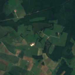
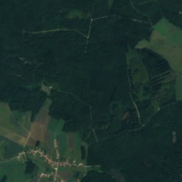
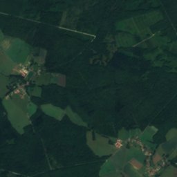
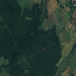
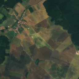
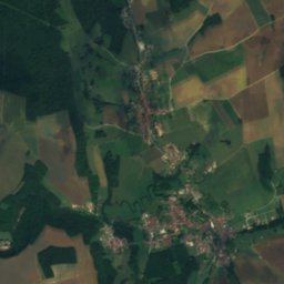
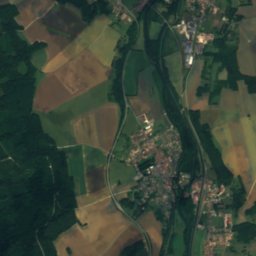
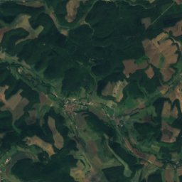
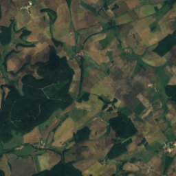
Rongeant from above

Nature nearbyAll of France
Photo: Angeroux · Public domain · Wikimedia CommonsReport this photo · linked, not stored
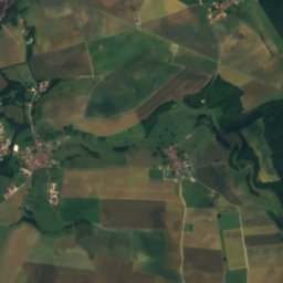
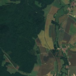
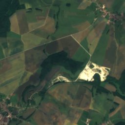
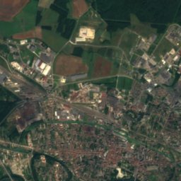
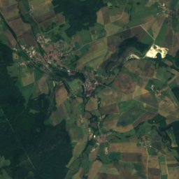
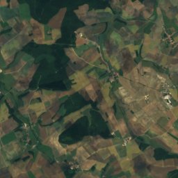
RognonRiver10 kmSERognon
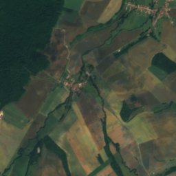
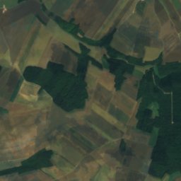
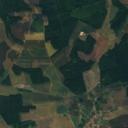
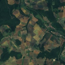
Satellite: Sentinel-2 cloudless 2016 by EOX IT Services GmbH · CC BY 4.0 · Contains modified Copernicus Sentinel data 2016
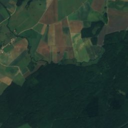
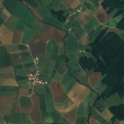
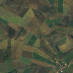
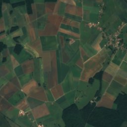
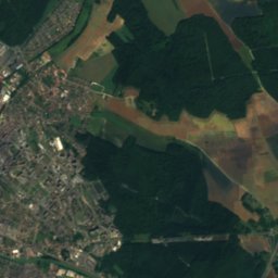
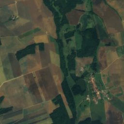
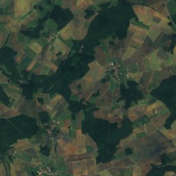
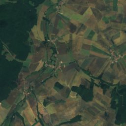
BlaiseronRiver11 kmWBlaiseron
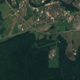
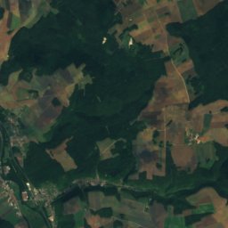
Satellite: Sentinel-2 cloudless 2016 by EOX IT Services GmbH · CC BY 4.0 · Contains modified Copernicus Sentinel data 2016
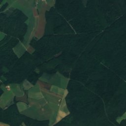
VivoireRiver12 kmWVivoire
Photo: Havang(nl) · CC0 · Wikimedia CommonsReport this photo · linked, not stored
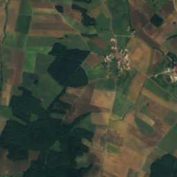
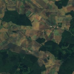
VoireRiver13 kmWVoire
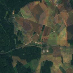
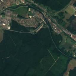
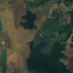
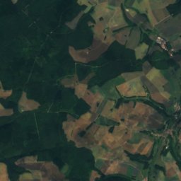
Satellite: Sentinel-2 cloudless 2016 by EOX IT Services GmbH · CC BY 4.0 · Contains modified Copernicus Sentinel data 2016
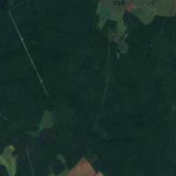
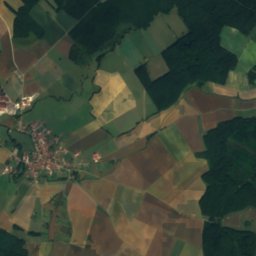
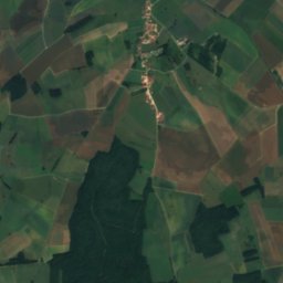
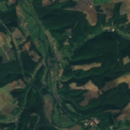
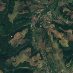
HéronneRiver17 kmWHéronne
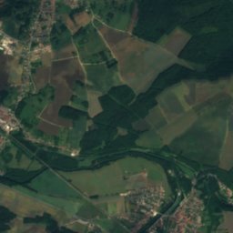
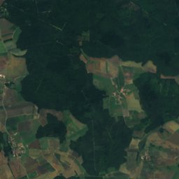
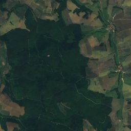
Satellite: Sentinel-2 cloudless 2016 by EOX IT Services GmbH · CC BY 4.0 · Contains modified Copernicus Sentinel data 2016
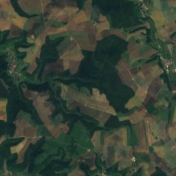
CousanceRiver18 kmNCousance
Stay nearby

Towns close by

Nomécourt
Photo: Robin Chubret · CC BY-SA 4.0 · Wikimedia CommonsReport this photo · linked, not stored

Nomécourt

Grand Est · 1.9 km SW
15°Oct high
13wet days
49score
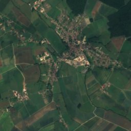
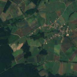
Nomécourt
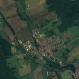
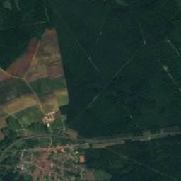
Satellite: Sentinel-2 cloudless 2016 by EOX IT Services GmbH · CC BY 4.0 · Contains modified Copernicus Sentinel data 2016

Vecqueville

Grand Est · 4.0 km E
16°Oct high
13wet days
52score
Vecqueville
Joinville
Photo: Jpm2112 · CC BY-SA 3.0 · Wikimedia CommonsReport this photo · linked, not stored

Joinville

Grand Est · 4.1 km E
16°Oct high
13wet days
52score
Joinville
Guindrecourt-aux-Ormes
Photo: Antoine Garnier · CC BY-SA 4.0 · Wikimedia CommonsReport this photo · linked, not stored

Guindrecourt-aux-Ormes

Grand Est · 4.1 km W
16°Oct high
13wet days
50score
Guindrecourt-aux-Ormes
Around here

Nomécourt and around

Nomécourt
Photo: Robin Chubret · CC BY-SA 4.0 · Wikimedia CommonsReport this photo · linked, not stored

Nomécourt

Grand Est · France
Jun–Jul · Sepbest months
25°July high
302 maltitude
Nomécourt

Nature

Voire
Photo: Havang(nl) · CC0 · Wikimedia CommonsReport this photo · linked, not stored
11 km W

Voire

River
Voire
Rognon
Photo: Angeroux · Public domain · Wikimedia CommonsReport this photo · linked, not stored
9.4 km SE

Rognon

River
Rognon
Satellite: Sentinel-2 cloudless 2016 by EOX IT Services GmbH · CC BY 4.0 · Contains modified Copernicus Sentinel data 2016
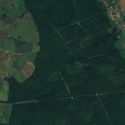
9.9 km W

Blaiseron

River · 190 m
Blaiseron

Heritage

building of the Savings Bank of Wassy
Photo: Ji-Elle · CC BY-SA 3.0 · Wikimedia CommonsReport this photo · linked, not stored
12 km NW

building of the Savings Bank of Wassy

listed in the general inventory of cultural heritage · 1902
building of the Savings Bank of Wassy
Fonderie du Val d'Osne
Photo: Ji-Elle · CC BY-SA 3.0 · Wikimedia CommonsReport this photo · linked, not stored
10 km NE

Fonderie du Val d'Osne

monument historique inscrit · 1836
Fonderie du Val d'Osne
Auditoire de Joinville
Photo: Pline · CC BY-SA 3.0 · Wikimedia CommonsReport this photo · linked, not stored
4.8 km E

Auditoire de Joinville

monument historique inscrit · 1561
Auditoire de Joinville

Museums

Grange du Massacre
Photo: Ji-Elle · CC BY-SA 3.0 · Wikimedia CommonsReport this photo · linked, not stored
11 km NW

Grange du Massacre

Grange du Massacre