Skip to content
Destinations
Weather & climate
Nature
Outdoors
Culture
Events
Sky & live
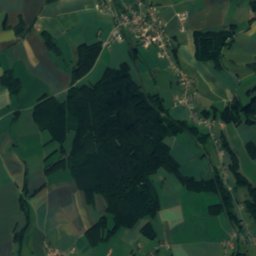
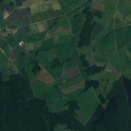
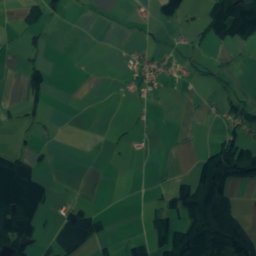
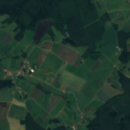
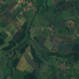
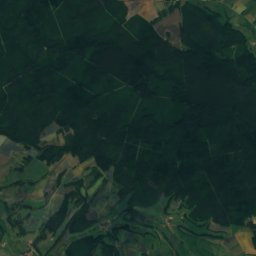
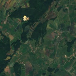
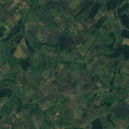
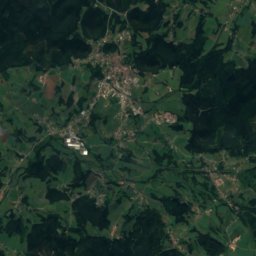
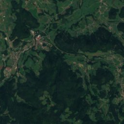
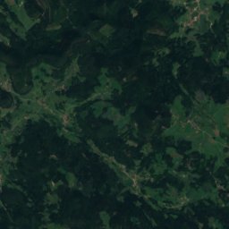
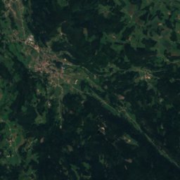
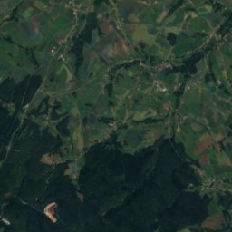
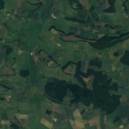
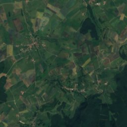
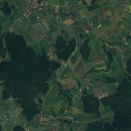
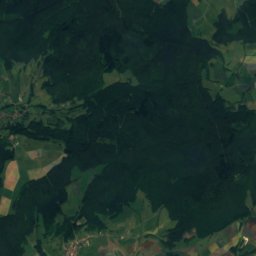
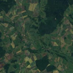
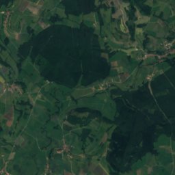
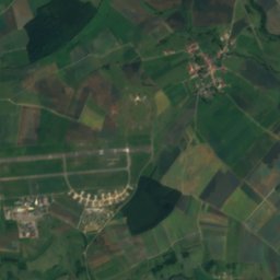
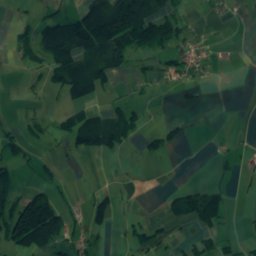
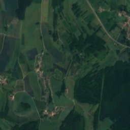
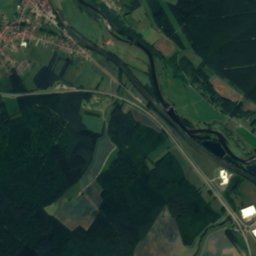
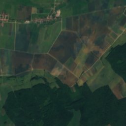
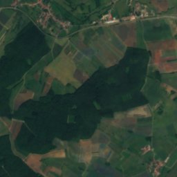
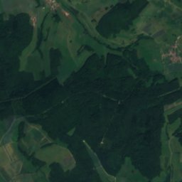
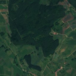
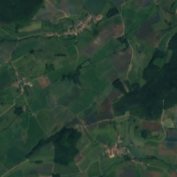
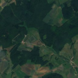
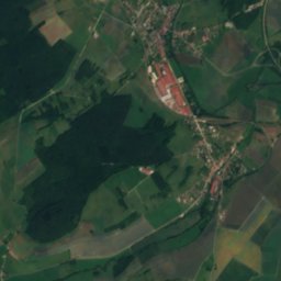
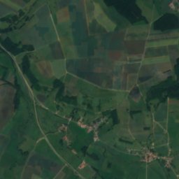
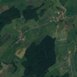
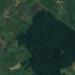
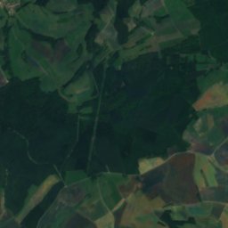
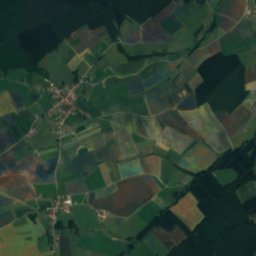
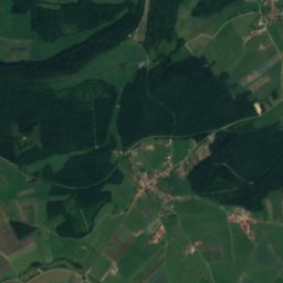
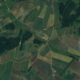
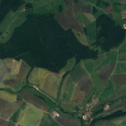
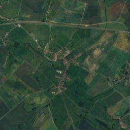
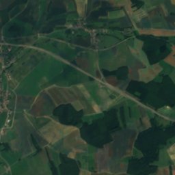
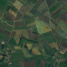
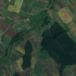
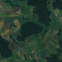
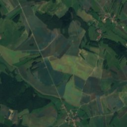
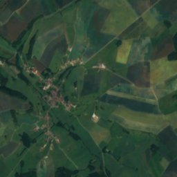
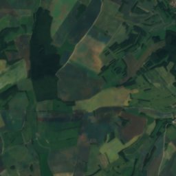
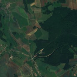
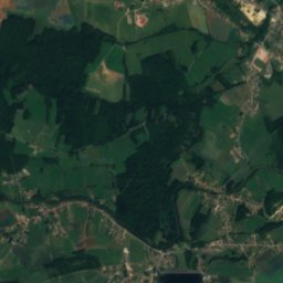
Satellite: Sentinel-2 cloudless 2016 by EOX IT Services GmbH · CC BY 4.0 · Contains modified Copernicus Sentinel data 2016
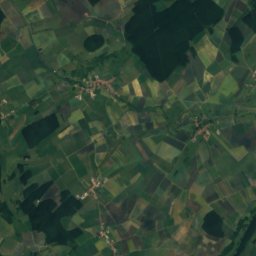
Gitte
Photo: Elouan ESLO · CC BY-SA 4.0 · Wikimedia Commons
GitteReport this photo · linked, not stored
Gitte
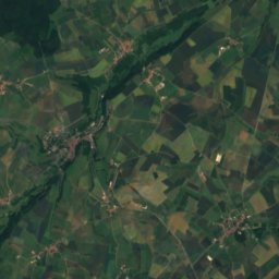
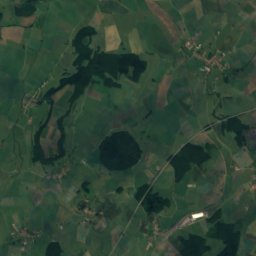
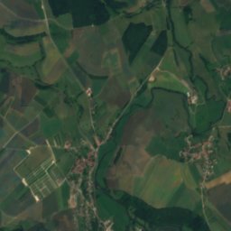
Avière
Photo: Richieman · Public domain · Wikimedia Commons
AvièreReport this photo · linked, not stored
Avière
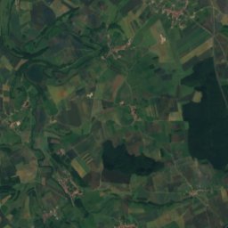
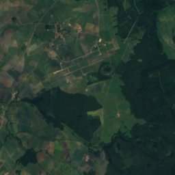
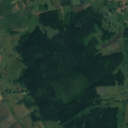
Lac de Bouzey
Photo: Richieman · Public domain · Wikimedia Commons
Lac de BouzeyReport this photo · linked, not stored
Lac de Bouzey
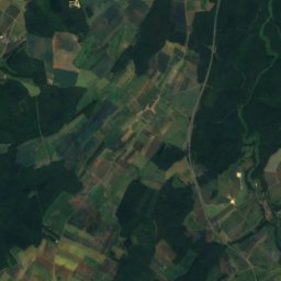
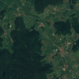
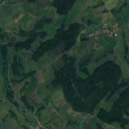
Durbion
Photo: Rauenstein · CC BY-SA 3.0 · Wikimedia Commons
DurbionReport this photo · linked, not stored
Durbion
RiverRacécourt, Grand Est

Robert

RiverBest Jun–Jul · Sep
Elevation–above sea level
Length11 kmsource to mouth
Nearest townRacécourt0.5 km
48.25° N, 6.19° EUTC+1 · Central European Standard Time
When to goRacécourt · weather score
JanFebMarAprMayJunJulAugSepOctNovDec52October
Best timeJun–Jul · Sep
October: high / low16° / 7°
River

Robert in brief

Robert is a river in Racécourt, Grand Est, France.

The nearest town is Racécourt, 0.5 km to the N, where the weather is best in June, July and September.

Robert is 11 km long.

Racécourt: weather and travel guide

Weather nearby now

Forecast for Racécourt
4°
Clear now
Wind12 km/h
Humidity97%
Cloud cover16%
Today
31 Oct
13°
3°
Sun
1 Nov
11°
3°
Mon
2 Nov
9°
2°
Tue
3 Nov
8°
1°
Wed
4 Nov
10°
3°

Model run 12:00 UTCRefreshed several times a day

When to go

The best months around Robert

Climate of Racécourt

Month score in Racécourt

Comfort, dry days and sunshine · out of 100
18
Jan
27
Feb
32
Mar
61
Apr
65
May
70
Jun
67
Jul
65
Aug
75
Sep
52
Oct
19
Nov
15
Dec
Map

Robert from above

Nature nearbyAll of France
Photo: Elouan ESLO · CC BY-SA 4.0 · Wikimedia CommonsReport this photo · linked, not stored
GitteRiver11 kmSEGitte
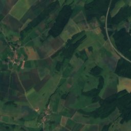
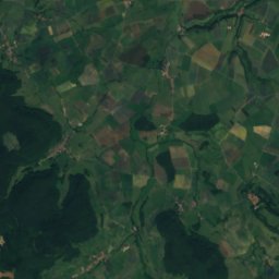
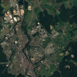
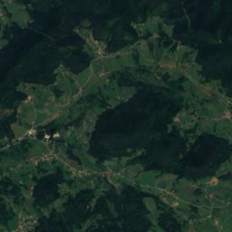
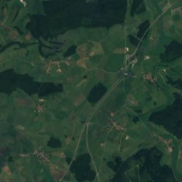
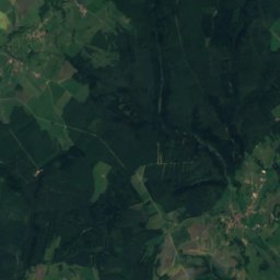
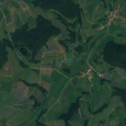
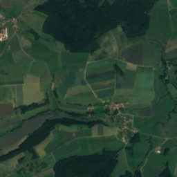
Satellite: Sentinel-2 cloudless 2016 by EOX IT Services GmbH · CC BY 4.0 · Contains modified Copernicus Sentinel data 2016
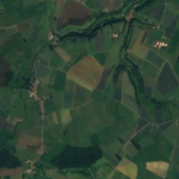
IllonRiver14 kmSIllon
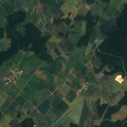
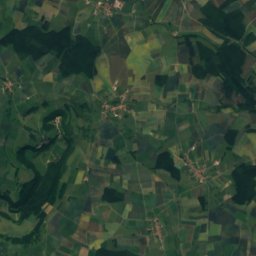
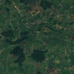
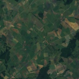
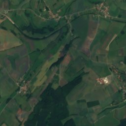
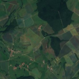
Satellite: Sentinel-2 cloudless 2016 by EOX IT Services GmbH · CC BY 4.0 · Contains modified Copernicus Sentinel data 2016
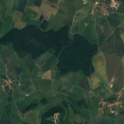
ColonRiver15 kmNColon
Photo: Richieman · Public domain · Wikimedia CommonsReport this photo · linked, not stored
AvièreRiver15 kmNEAvière
Photo: Richieman · Public domain · Wikimedia CommonsReport this photo · linked, not stored
Lac de BouzeyLake15 kmSELac de Bouzey
Photo: Rauenstein · CC BY-SA 3.0 · Wikimedia CommonsReport this photo · linked, not stored
DurbionRiver17 kmEDurbion
Summits nearbyMountains of France
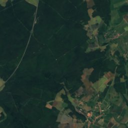
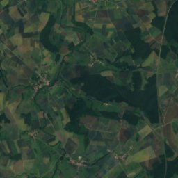
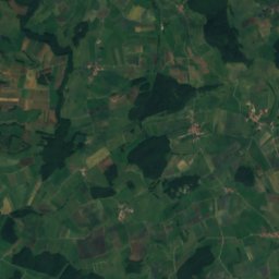
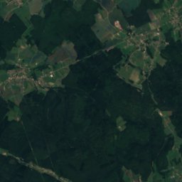
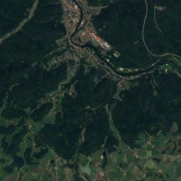
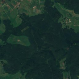
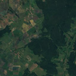
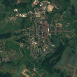
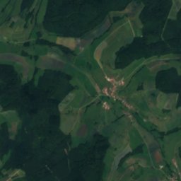
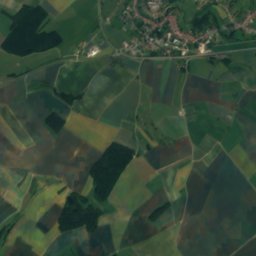
Satellite: Sentinel-2 cloudless 2016 by EOX IT Services GmbH · CC BY 4.0 · Contains modified Copernicus Sentinel data 2016
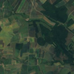
Colline de Sion20 km NW540 mJuly 24°Colline de Sion
Stay nearby

Towns close by

Racécourt
Photo: Rauenstein · CC BY-SA 3.0 · Wikimedia CommonsReport this photo · linked, not stored

Racécourt

Grand Est · 0.5 km N
16°Oct high
12wet days
52score
Racécourt
Velotte-et-Tatignécourt
Photo: Rauenstein · CC BY-SA 3.0 · Wikimedia CommonsReport this photo · linked, not stored

Velotte-et-Tatignécourt

Grand Est · 1.9 km NW
16°Oct high
12wet days
52score
Velotte-et-Tatignécourt
Bazegney
Photo: Rauenstein · CC BY-SA 3.0 · Wikimedia CommonsReport this photo · linked, not stored

Bazegney

Grand Est · 2.8 km NE
15°Oct high
12wet days
50score
Bazegney
Maroncourt
Photo: Rauenstein · CC BY-SA 3.0 · Wikimedia CommonsReport this photo · linked, not stored

Maroncourt

Grand Est · 2.8 km W
16°Oct high
12wet days
52score
Maroncourt
Around here

Racécourt and around

Racécourt
Photo: Rauenstein · CC BY-SA 3.0 · Wikimedia CommonsReport this photo · linked, not stored

Racécourt

Grand Est · France
Jun–Jul · Sepbest months
26°July high
287 maltitude
Racécourt

Nature

Gitte
Photo: Elouan ESLO · CC BY-SA 4.0 · Wikimedia CommonsReport this photo · linked, not stored
12 km SE

Gitte

River
Gitte
Côney
Photo: E2 · CC BY-SA 3.0 · Wikimedia CommonsReport this photo · linked, not stored
23 km SE

Côney

River · 219 m
Côney
Lac de Bouzey
Photo: Richieman · Public domain · Wikimedia CommonsReport this photo · linked, not stored
16 km SE

Lac de Bouzey

Lake · 360 m
Lac de Bouzey

Mountains

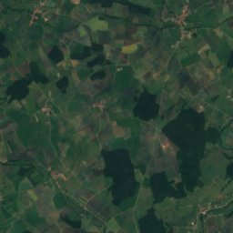
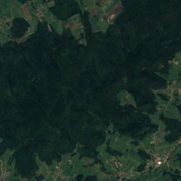
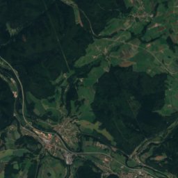
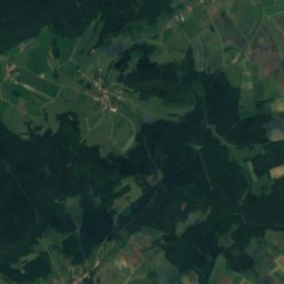
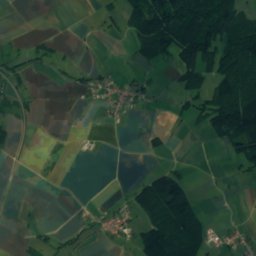
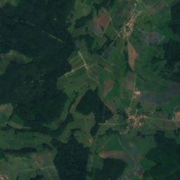
Satellite: Sentinel-2 cloudless 2016 by EOX IT Services GmbH · CC BY 4.0 · Contains modified Copernicus Sentinel data 2016
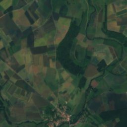
38 km SE

Tête des Cuveaux

781 m · Vosges Mountains
Tête des Cuveaux
Satellite: Sentinel-2 cloudless 2016 by EOX IT Services GmbH · CC BY 4.0 · Contains modified Copernicus Sentinel data 2016
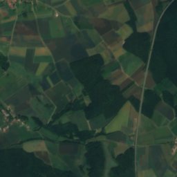
19 km NW

Colline de Sion

540 m
Colline de Sion
Satellite: Sentinel-2 cloudless 2016 by EOX IT Services GmbH · CC BY 4.0 · Contains modified Copernicus Sentinel data 2016
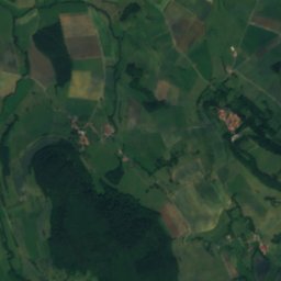
35 km SW

Mont des Fourches

501 m · Monts Faucilles
Mont des Fourches

Heritage

Basilique Saint-Pierre-Fourier de Mattaincourt
Photo: Raphdvoj · CC BY-SA 3.0 · Wikimedia CommonsReport this photo · linked, not stored
5.0 km NW

Basilique Saint-Pierre-Fourier de Mattaincourt

monument historique inscrit · 1853
Basilique Saint-Pierre-Fourier de Mattaincourt
Château Lobstein
Photo: Patineurjul · CC BY-SA 4.0 · Wikimedia CommonsReport this photo · linked, not stored
8.4 km S

Château Lobstein

monument historique inscrit
Château Lobstein
Church Saint-Martin de Vomécourt-sur-Madon
Photo: Raphaël Tassin (Raphdvoj) · CC BY-SA 3.0 · Wikimedia CommonsReport this photo · linked, not stored
12 km N

Church Saint-Martin de Vomécourt-sur-Madon

classified historical monument
Church Saint-Martin de Vomécourt-sur-Madon

Museums

Satellite: Sentinel-2 cloudless 2016 by EOX IT Services GmbH · CC BY 4.0 · Contains modified Copernicus Sentinel data 2016
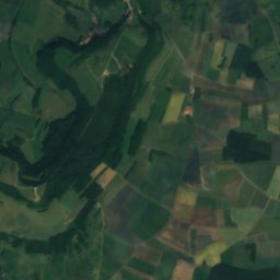
6.5 km NW

Musée de la Lutherie et de l'Archèterie françaises

Musée de la Lutherie et de l'Archèterie françaises
Maison de la musique mécanique et de la dentelle
Photo: Ji-Elle · CC BY-SA 4.0 · Wikimedia CommonsReport this photo · linked, not stored
6.4 km NW

Maison de la musique mécanique et de la dentelle

1996
Maison de la musique mécanique et de la dentelle